La Selva Beach (La Selva, Spanish for “The Forest”) is a census-designated place (CDP) in Santa Cruz County, California. La Selva Beach sits at an elevation of 151 feet (46 m). The 2020 United States census reported La Selva Beach’s population was 2,531.
La Selva Beach is one of the several small communities located in and around Aptos. It neighbors Seascape to the north, Corralitos to the east, and Watsonville to the south. When founded, the small beach community was surrounded by dense conifer woods.
| Name: | La Selva Beach CDP |
|---|---|
| LSAD Code: | 57 |
| LSAD Description: | CDP (suffix) |
| State: | California |
| County: | Santa Cruz County |
| Elevation: | 151 ft (46 m) |
| Total Area: | 5.297 sq mi (13.718 km²) |
| Land Area: | 5.297 sq mi (13.718 km²) |
| Water Area: | 0 sq mi (0 km²) 0% |
| Total Population: | 2,531 |
| Population Density: | 480/sq mi (180/km²) |
| ZIP code: | 95076 |
| Area code: | 831 |
| FIPS code: | 0640508 |
| GNISfeature ID: | 2583053 |
Online Interactive Map
Click on ![]() to view map in "full screen" mode.
to view map in "full screen" mode.
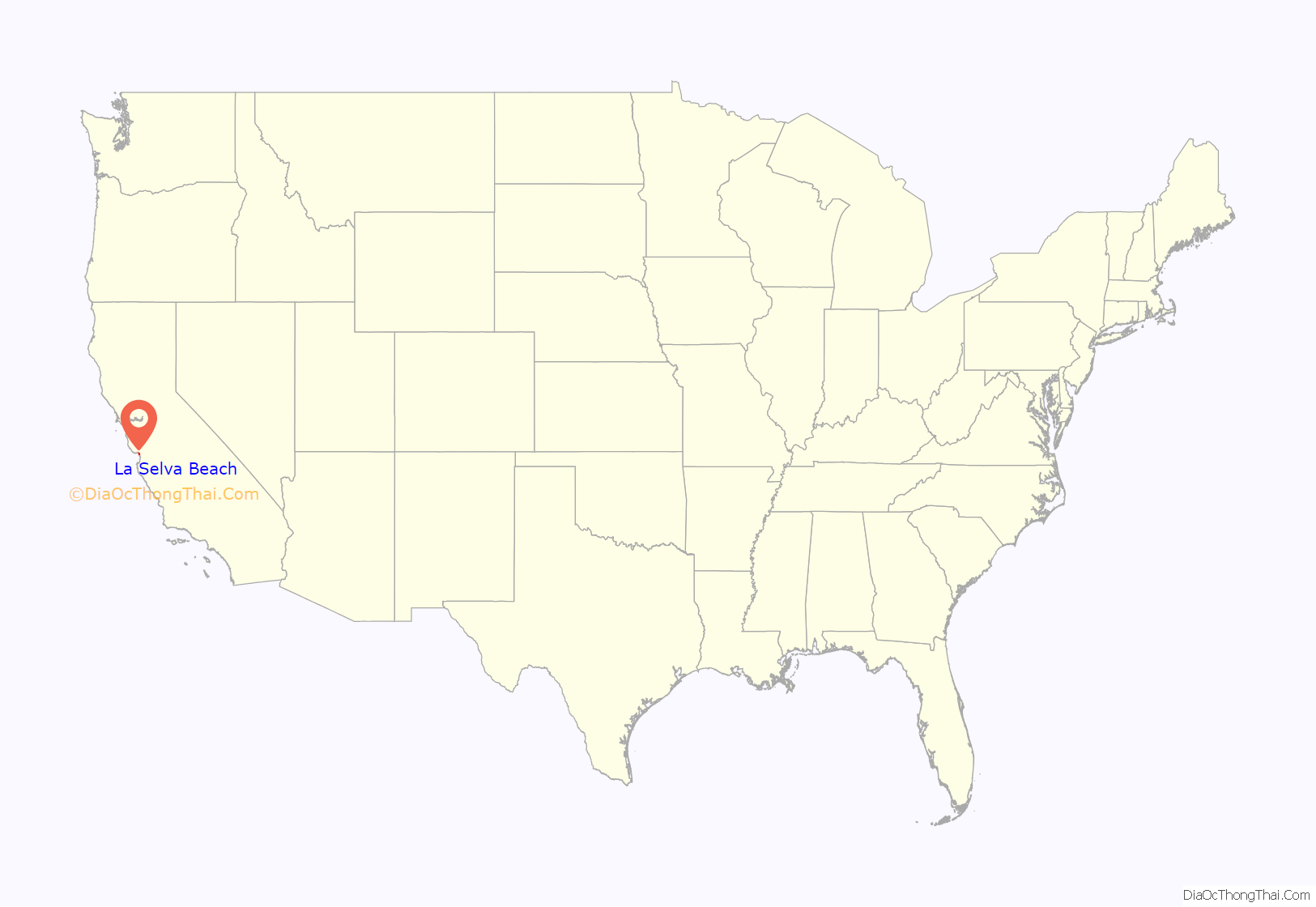
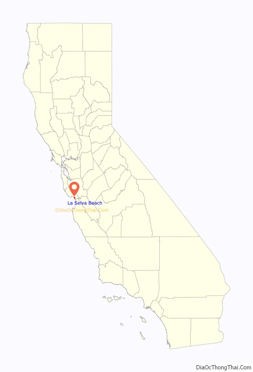
La Selva Beach location map. Where is La Selva Beach CDP?
History
In 1925 it was founded as Rob Roy by real estate developer David Batchelor. The now-defunct (since 2000) Rob Roy Video Store was the only business in the area to make note of this heritage. In 1935 the name was changed to La Selva Beach by the new developer, Edward Burghard. Most of the existing houses were built in the early 1960s. In the 1970s the residents convinced state government to remove “Beach” from the direction signs. Officially the name is still La Selva Beach.
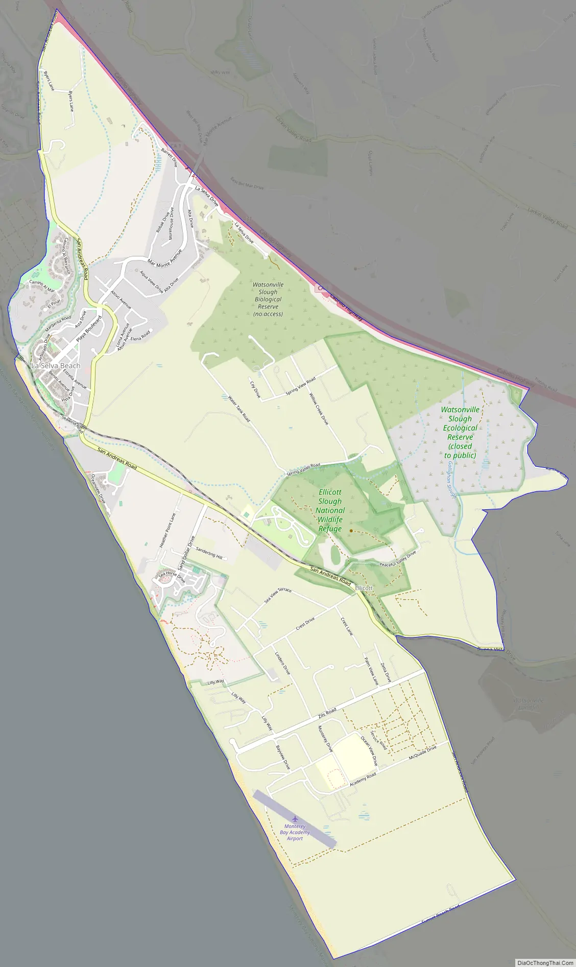
La Selva Beach Road Map
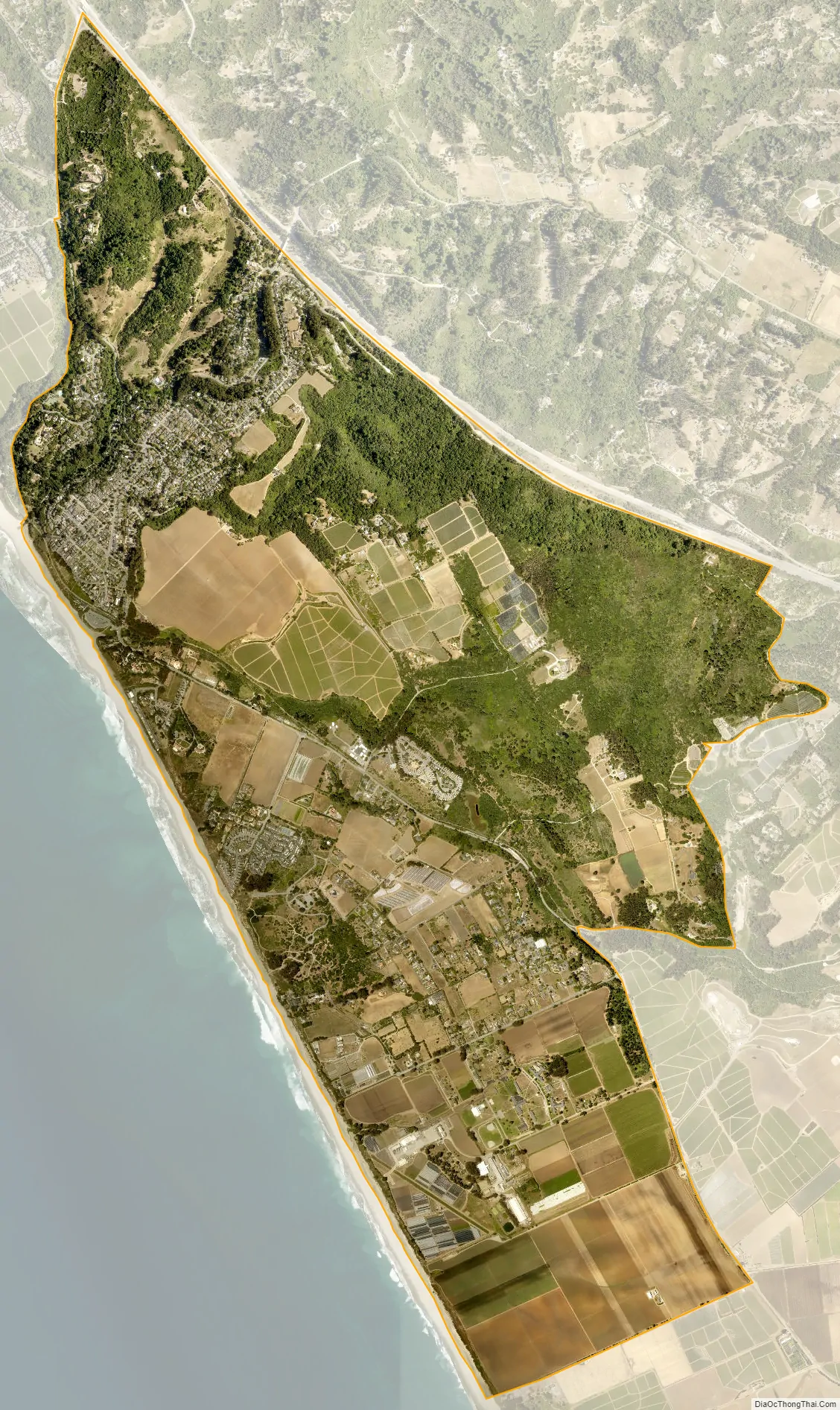
La Selva Beach city Satellite Map
Geography
La Selva Beach lies near the San Andreas Fault, and was close to the epicenter of the October 17, 1989 Loma Prieta earthquake.
According to the United States Census Bureau, the CDP covers an area of 5.3 square miles (13.7 km), all of it land.
See also
Map of California State and its subdivision:- Alameda
- Alpine
- Amador
- Butte
- Calaveras
- Colusa
- Contra Costa
- Del Norte
- El Dorado
- Fresno
- Glenn
- Humboldt
- Imperial
- Inyo
- Kern
- Kings
- Lake
- Lassen
- Los Angeles
- Madera
- Marin
- Mariposa
- Mendocino
- Merced
- Modoc
- Mono
- Monterey
- Napa
- Nevada
- Orange
- Placer
- Plumas
- Riverside
- Sacramento
- San Benito
- San Bernardino
- San Diego
- San Francisco
- San Joaquin
- San Luis Obispo
- San Mateo
- Santa Barbara
- Santa Clara
- Santa Cruz
- Shasta
- Sierra
- Siskiyou
- Solano
- Sonoma
- Stanislaus
- Sutter
- Tehama
- Trinity
- Tulare
- Tuolumne
- Ventura
- Yolo
- Yuba
- Alabama
- Alaska
- Arizona
- Arkansas
- California
- Colorado
- Connecticut
- Delaware
- District of Columbia
- Florida
- Georgia
- Hawaii
- Idaho
- Illinois
- Indiana
- Iowa
- Kansas
- Kentucky
- Louisiana
- Maine
- Maryland
- Massachusetts
- Michigan
- Minnesota
- Mississippi
- Missouri
- Montana
- Nebraska
- Nevada
- New Hampshire
- New Jersey
- New Mexico
- New York
- North Carolina
- North Dakota
- Ohio
- Oklahoma
- Oregon
- Pennsylvania
- Rhode Island
- South Carolina
- South Dakota
- Tennessee
- Texas
- Utah
- Vermont
- Virginia
- Washington
- West Virginia
- Wisconsin
- Wyoming


