La Verne is a city in Los Angeles County, California, United States. The population was 31,063 at the 2010 census, down from 31,638 at the 2000 census.
| Name: | La Verne city |
|---|---|
| LSAD Code: | 25 |
| LSAD Description: | city (suffix) |
| State: | California |
| County: | Los Angeles County |
| Incorporated: | August 20, 1906 |
| Elevation: | 1,060 ft (323 m) |
| Total Area: | 8.55 sq mi (22.16 km²) |
| Land Area: | 8.43 sq mi (21.84 km²) |
| Water Area: | 0.12 sq mi (0.31 km²) 1.54% |
| Total Population: | 31,063 |
| Population Density: | 3,791.53/sq mi (1,463.90/km²) |
| ZIP code: | 91750 |
| Area code: | 909 |
| FIPS code: | 0640830 |
| Website: | cityoflaverne.org |
Online Interactive Map
Click on ![]() to view map in "full screen" mode.
to view map in "full screen" mode.
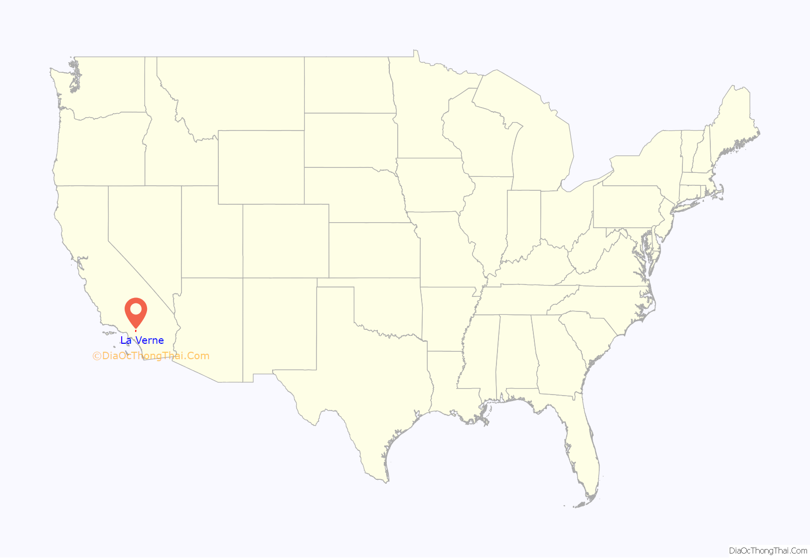
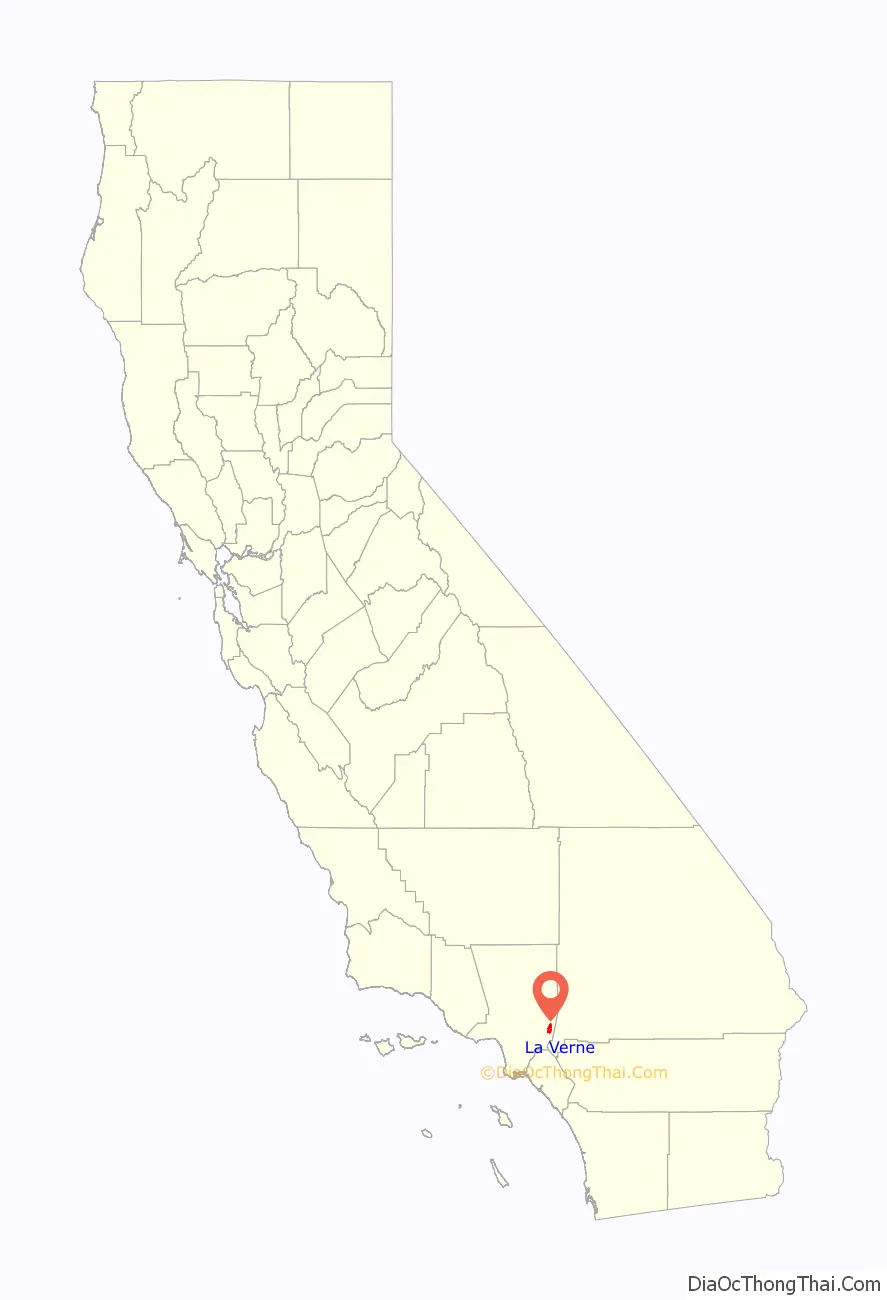
La Verne location map. Where is La Verne city?
History
The European history of the area dates back to the 1830s when Ygnacio Palomares and Ricardo Véjar received the 15,000-acre (61 km) Rancho San Jose land grant from Governor Juan Bautista Alvarado in 1837. The land included the present day cities Pomona, Claremont, San Dimas, Glendora, and La Verne. The adobe which Palomares built in 1837 is still preserved in Pomona as La Casa Primera de Rancho San Jose (The First House). Palomares soon moved a mile or so northeast and constructed the Ygnacio Palomares Adobe. He ensured that a nephew, Jose Dolores Palomares, secured a tract of land a mile west.
In the mid-1880s, entrepreneur Isaac W. Lord purchased a tract of Jose Palomares’ land and convinced the Santa Fe Railroad company to run its line across towards Los Angeles. Lord had the land surveyed for building lots and in 1887 had a large land sale, naming the new town ‘Lordsburg’ after himself. He also had a large Lordsburg Hotel constructed, but the land boom was over by the time it was completed. It sat empty for several years, until sold to four members of the German Baptist Brethren Church, who persuaded others of that denomination that it would be an excellent site for a new institution of higher learning. Lordsburg College was founded in 1891.
In 1906 the town was incorporated as “La Verne.” Residents grew field crops, then began planting citrus trees, which flourished. Lordsburg became known as the “Heart of the Orange Empire.” The city of La Verne flourished as a center of the citrus industry until after World War II, when the citrus industry slowly faded away. Today the last two orange groves are on the grounds of the La Verne Mansion and Heritage Park.
La Verne Road Map

La Verne city Satellite Map

Geography
La Verne is a suburb 30 miles (48 km) east of Los Angeles, located in the Pomona Valley below the foothills of the San Gabriel Mountains part of the Angeles National Forest, a habitat known to support black bears. According to the United States Census Bureau, the city has a total area of 8.562 square miles (22.18 km). It is to the east of San Dimas and to the west of Claremont. The city of Pomona lies to the south. California State Route 210 bisects La Verne in an east–west direction, and Historic U.S. Route 66 also passes through the city.
Climate
According to the Köppen Climate Classification system, La Verne has a warm-summer Mediterranean climate, abbreviated “Csb” on climate maps.
See also
Map of California State and its subdivision:- Alameda
- Alpine
- Amador
- Butte
- Calaveras
- Colusa
- Contra Costa
- Del Norte
- El Dorado
- Fresno
- Glenn
- Humboldt
- Imperial
- Inyo
- Kern
- Kings
- Lake
- Lassen
- Los Angeles
- Madera
- Marin
- Mariposa
- Mendocino
- Merced
- Modoc
- Mono
- Monterey
- Napa
- Nevada
- Orange
- Placer
- Plumas
- Riverside
- Sacramento
- San Benito
- San Bernardino
- San Diego
- San Francisco
- San Joaquin
- San Luis Obispo
- San Mateo
- Santa Barbara
- Santa Clara
- Santa Cruz
- Shasta
- Sierra
- Siskiyou
- Solano
- Sonoma
- Stanislaus
- Sutter
- Tehama
- Trinity
- Tulare
- Tuolumne
- Ventura
- Yolo
- Yuba
- Alabama
- Alaska
- Arizona
- Arkansas
- California
- Colorado
- Connecticut
- Delaware
- District of Columbia
- Florida
- Georgia
- Hawaii
- Idaho
- Illinois
- Indiana
- Iowa
- Kansas
- Kentucky
- Louisiana
- Maine
- Maryland
- Massachusetts
- Michigan
- Minnesota
- Mississippi
- Missouri
- Montana
- Nebraska
- Nevada
- New Hampshire
- New Jersey
- New Mexico
- New York
- North Carolina
- North Dakota
- Ohio
- Oklahoma
- Oregon
- Pennsylvania
- Rhode Island
- South Carolina
- South Dakota
- Tennessee
- Texas
- Utah
- Vermont
- Virginia
- Washington
- West Virginia
- Wisconsin
- Wyoming


