Glendora is a city in the San Gabriel Valley in Los Angeles County, California, 26 miles (42 km) east of Los Angeles. As of the 2020 census, the population of Glendora was 52,558.
Known as the “Pride of the Foothills”, Glendora is nestled in the foothills of the San Gabriel Mountains. Its downtown area, locally known as the Glendora Village, hosts dozens of restaurants, cafes, shops, and boutiques along Glendora Avenue with many community events scheduled throughout the year. It has been voted as one of the best and friendliest downtowns in the San Gabriel Valley for the last eight years. Glendora was incorporated on November 13, 1911, the 25th city to achieve incorporation in Los Angeles County.
Neighborhoods and residences in Glendora reflect the city’s history and range from Queen Annes, to Folk Victorians, early 20th-century bungalows, to ranch style homes, to mid-rise multi-family residential complexes, to modern mansions. Glendora’s most expensive neighborhoods contain many very large, secluded, estate homes with views across the San Gabriel Valley to Downtown Los Angeles. Glendora is also home to the Glendora Country Club, which includes a Robert Trent Jones Sr. 18-hole golf course that has been played by many professional golfers.
Glendora is bordered by Azusa and the unincorporated community of Citrus to the west, San Dimas to the east and south, Covina and the unincorporated community of Charter Oak to the south, and the San Gabriel Mountains range to the north.
| Name: | Glendora city |
|---|---|
| LSAD Code: | 25 |
| LSAD Description: | city (suffix) |
| State: | California |
| County: | Los Angeles County |
| Incorporated: | November 13, 1911 |
| Elevation: | 774 ft (236 m) |
| Total Area: | 19.66 sq mi (50.92 km²) |
| Land Area: | 19.51 sq mi (50.52 km²) |
| Water Area: | 0.15 sq mi (0.40 km²) 0.84% |
| Total Population: | 52,558 |
| Population Density: | 2,582/sq mi (996.9/km²) |
| FIPS code: | 0630014 |
| GNISfeature ID: | 1652713 |
| Website: | www.ci.glendora.ca.us |
Online Interactive Map
Click on ![]() to view map in "full screen" mode.
to view map in "full screen" mode.
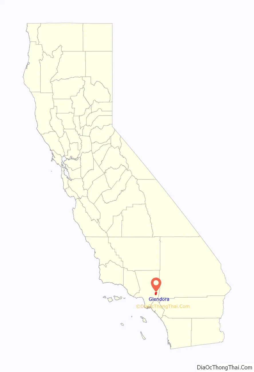
Glendora location map. Where is Glendora city?

History
Ygnacio Palomares received the 22,340-acre (90 km) land grant Rancho San Jose from Governor Juan Bautista Alvarado in 1837. The land included the present day cities of Pomona, Claremont, La Verne, San Dimas, and Glendora.
Like many cities in the San Gabriel Valley, Glendora was established on previously remote agricultural land when the area became connected to the outside world upon the completion of the Santa Fe Railway’s main transcontinental line from Los Angeles to Chicago in May 1887. Located at the foot of the San Gabriel Mountains, Glendora was started on approximately 300 acres (120 ha) that were subdivided and sold by George D. Whitcomb in late March 1887. On the first day of sale, 300 lots were sold. Whitcomb was the founder of the Whitcomb Locomotive Works in Chicago and Rochelle, Illinois and had moved to California in the early 1880s. He devised the name Glendora by combining the name of his wife, Leadora Bennett Whitcomb, with the location of his home in a glen of the San Gabriel Mountains. In December 1907, the development of Glendora got a boost when passenger service opened on a new extension of the Pacific Electric Railway’s Monrovia–Glendora Line which provided hourly one-seat ride service from downtown Glendora to the Pacific Electric Building at Sixth and Main in Downtown Los Angeles. Prior to its 1911 incorporation, Glendora’s administrator officially occupied the office of President of Glendora.
The downtown area as it appears now is the product of years of renovation and maintenance by the city. The former opera house, movie theatre, Pacific Electric station, banks, hotels, grocery and department stores were converted into more modern commercial buildings. The original layout can be read about on the Downtown Glendora Historical Walk, by reading placards placed along Glendora Avenue (previously called Michigan Avenue). The original townsite was bounded by Sierra Madre Avenue on the north, Minnesota Avenue on the east, Ada Avenue and the railroad on the south, and Pennsylvania Avenue on the west.
Glendora used to be home to several military academies, which have since been converted into either churches or private school facilities. These academies included Brown Military Academy, now St. Lucy’s Priory High School and Church of the Open Door on Sierra Madre, and Harding Military Academy, whose property is now home to North Glendora Private, a prestigious private community adjacent to Easley Canyon atop Glendora Avenue.
From 1960 to 1978, Glendora was home to Clokey Productions which produced 85 episodes of Gumby and 65 episodes of Davey and Goliath in town. In celebration of this history, Glendora hosted the first Gumby Fest in 2014 which brought thousands of people from around the country and Canada. In 2015 the 2nd GumbyFest was held at Citrus College over an entire weekend.
Several wildfires have affected the city in recent years, the most notable being the campfire triggered Colby Fire, which displaced hundreds of Glendora residents. A relief concert titled “Glendora Band Aid” was held shortly after the fire to help raise funds to assist the homeowners who lost their homes in the fire.
Glendora has an active Chamber of Commerce, established in 1903. The mission of the Glendora Chamber is to provide tools and resources to assist the business community in prospering and adapting to the economic climate, while growing membership and promoting local purchasing.
Glendora, 1920.
Early Alosta-Glendora Map 1888. View looking north from present-day South Hills Park Wilderness Area
Present day view from the South Hills
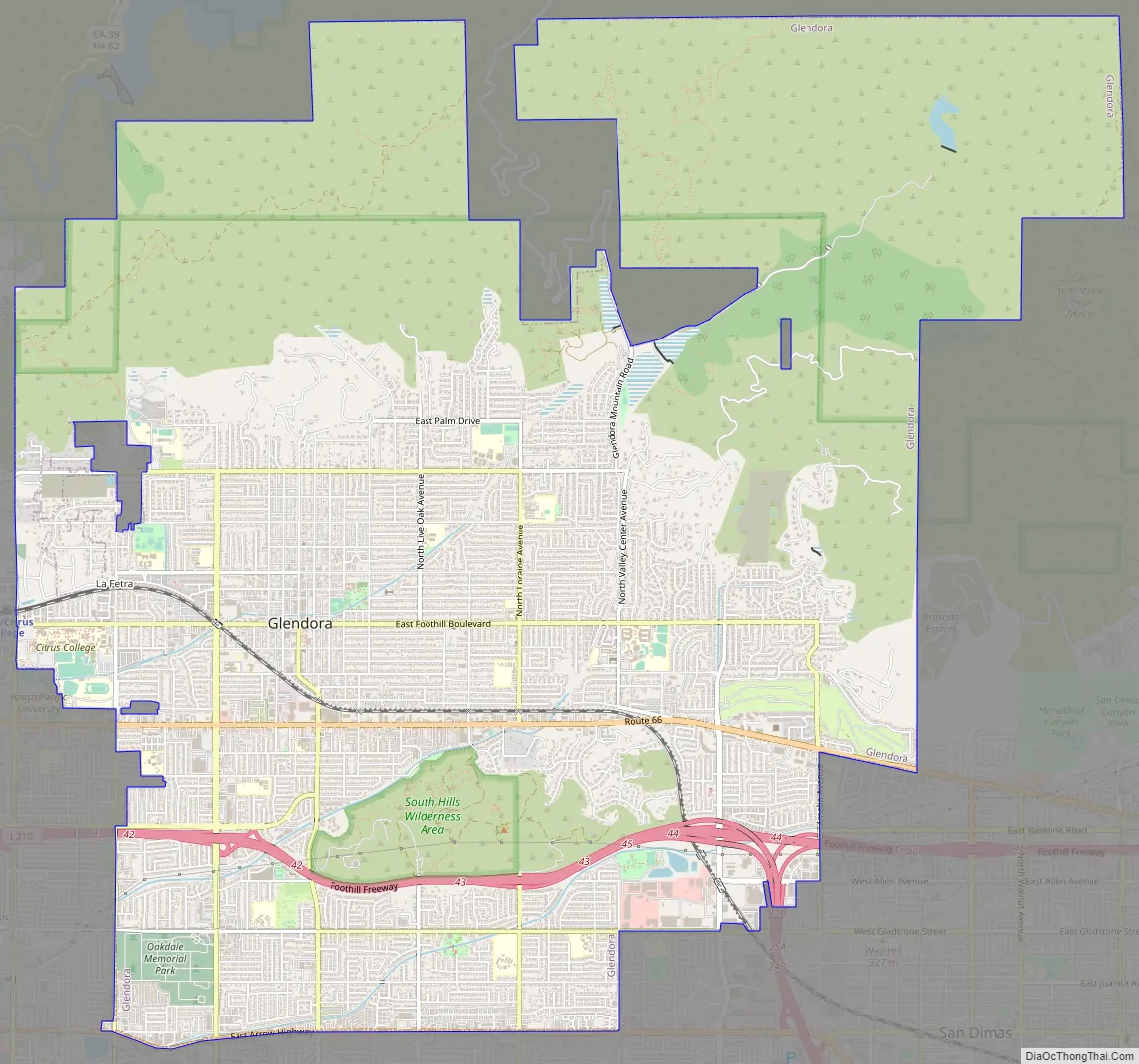
Glendora Road Map
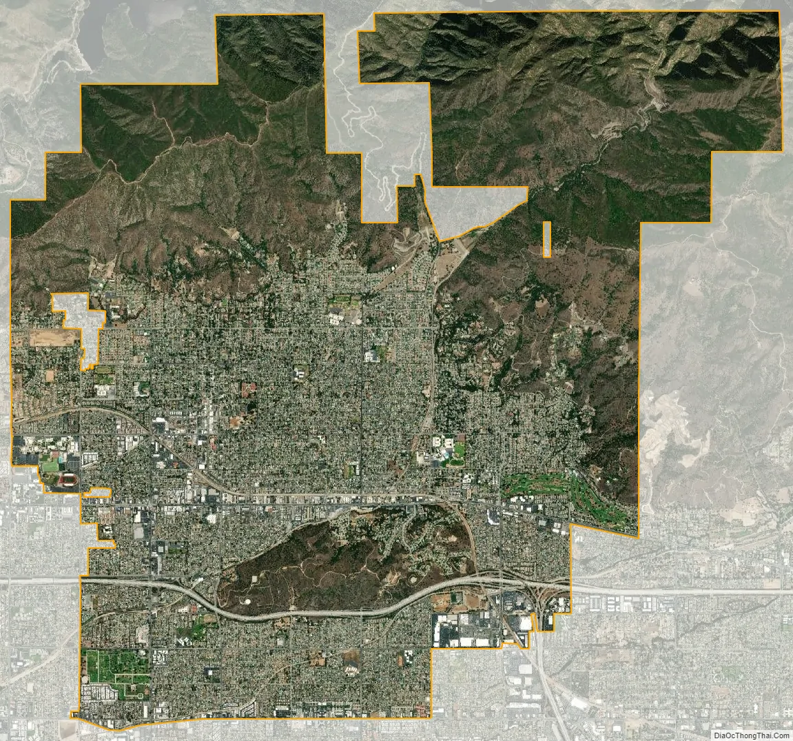
Glendora city Satellite Map
Geography
The city lies in the eastern end of the San Gabriel Valley between the San Gabriel Mountains range to the north and the South Hills to the south.
According to the United States Census Bureau, the city has a total area of 19.6 square miles (51 km), of which 19.4 square miles (50 km) is land and 0.2 square miles (0.52 km), or 0.84%, is water.
Climate
Glendora has a dry Mediterranean climate (Köppen Csa) characterized by hotter summers and slightly cooler winters than coastal areas in California. The dry weather lasts for most of the year except for the rainy season in the winter. Hot summer temperatures and warm Santa Ana winds in the fall increase the risk of wildfires in the surrounding mountains. The 2009 Morris Fire and 2015 Cabin Fire are some of the most recent wildfires affecting Glendora and nearby cities.
See also
Map of California State and its subdivision:- Alameda
- Alpine
- Amador
- Butte
- Calaveras
- Colusa
- Contra Costa
- Del Norte
- El Dorado
- Fresno
- Glenn
- Humboldt
- Imperial
- Inyo
- Kern
- Kings
- Lake
- Lassen
- Los Angeles
- Madera
- Marin
- Mariposa
- Mendocino
- Merced
- Modoc
- Mono
- Monterey
- Napa
- Nevada
- Orange
- Placer
- Plumas
- Riverside
- Sacramento
- San Benito
- San Bernardino
- San Diego
- San Francisco
- San Joaquin
- San Luis Obispo
- San Mateo
- Santa Barbara
- Santa Clara
- Santa Cruz
- Shasta
- Sierra
- Siskiyou
- Solano
- Sonoma
- Stanislaus
- Sutter
- Tehama
- Trinity
- Tulare
- Tuolumne
- Ventura
- Yolo
- Yuba
- Alabama
- Alaska
- Arizona
- Arkansas
- California
- Colorado
- Connecticut
- Delaware
- District of Columbia
- Florida
- Georgia
- Hawaii
- Idaho
- Illinois
- Indiana
- Iowa
- Kansas
- Kentucky
- Louisiana
- Maine
- Maryland
- Massachusetts
- Michigan
- Minnesota
- Mississippi
- Missouri
- Montana
- Nebraska
- Nevada
- New Hampshire
- New Jersey
- New Mexico
- New York
- North Carolina
- North Dakota
- Ohio
- Oklahoma
- Oregon
- Pennsylvania
- Rhode Island
- South Carolina
- South Dakota
- Tennessee
- Texas
- Utah
- Vermont
- Virginia
- Washington
- West Virginia
- Wisconsin
- Wyoming


