Laguna Hills (/ləˈɡuːnə/; Laguna, Spanish for “Lagoon”) is a city in southern Orange County, California, United States. Its name refers to its proximity to Laguna Canyon and the much older Laguna Beach. Other newer cities nearby—Laguna Niguel and Laguna Woods—are similarly named.
| Name: | Laguna Hills city |
|---|---|
| LSAD Code: | 25 |
| LSAD Description: | city (suffix) |
| State: | California |
| County: | Orange County |
| Incorporated: | December 20, 1991 |
| Elevation: | 364 ft (111 m) |
| Total Area: | 6.57 sq mi (17.02 km²) |
| Land Area: | 6.55 sq mi (16.96 km²) |
| Water Area: | 0.03 sq mi (0.06 km²) 0.37% |
| Total Population: | 30,344 |
| Population Density: | 4,765.88/sq mi (1,839.99/km²) |
| Area code: | 949 |
| FIPS code: | 0639220 |
| GNISfeature ID: | 1667917 |
| Website: | ci.laguna-hills.ca.us |
Online Interactive Map
Click on ![]() to view map in "full screen" mode.
to view map in "full screen" mode.
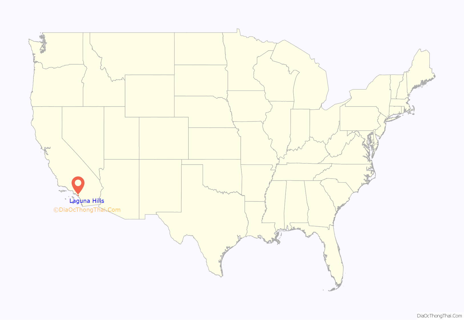
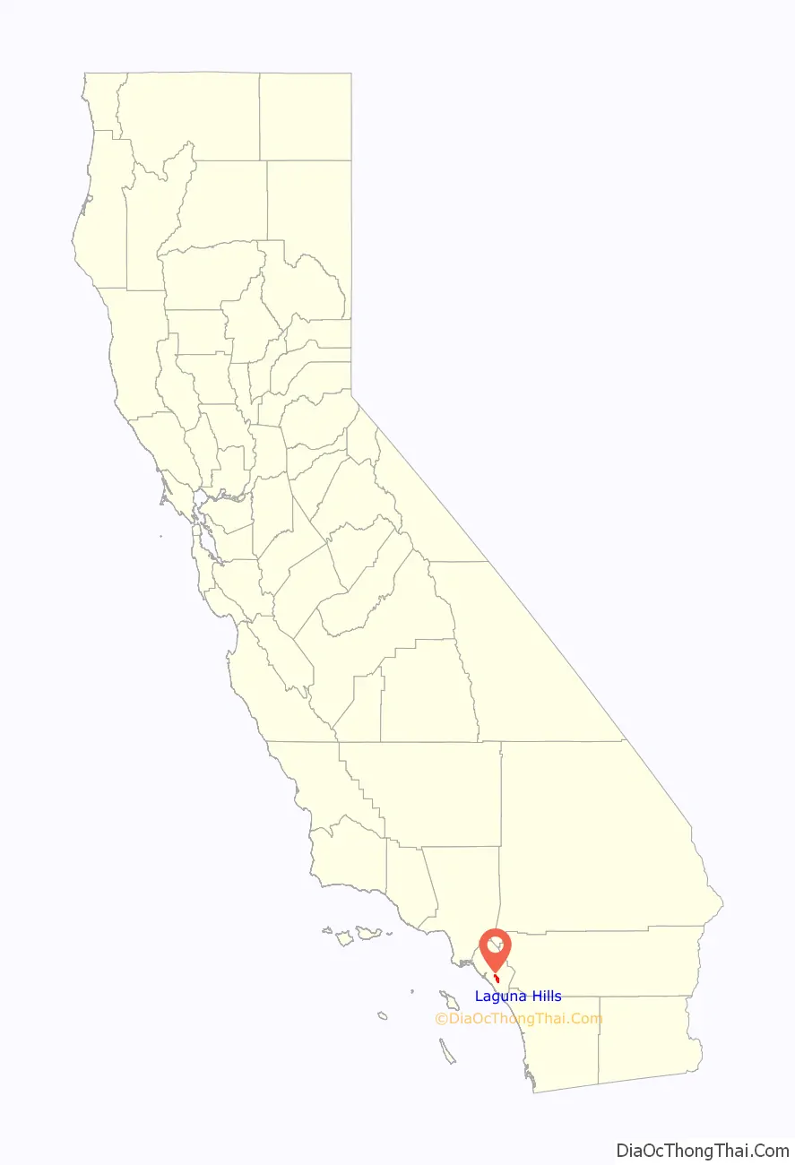
Laguna Hills location map. Where is Laguna Hills city?
History
Laguna Hills is built on one of the major land grants developed during the rancho era. Following Mexico‘s independence from Spain in 1821, those who had served in the government or who had friends in authority, were given vast lands for cattle grazing. Rancho Lomas de Santiago, Rancho San Joaquin, and Rancho Niguel covered much of the western portion of the Saddleback Valley. Don Juan Avila was granted the 13,000-acre Rancho Niguel on which Laguna Hills is located.
In 1894, Lewis Moulton purchased Rancho Niguel from Don Juan Avila and increased the original grant to 22,000 acres (89 km). Moulton and his partner, Jean Piedra Daguerre, used the ranch to raise sheep and cattle. The Moulton Ranch was eventually subdivided in the early 1960s, and part of the division became today’s Laguna Hills.
Incorporation efforts began in 1987 and on March 5, 1991, 86% of the residents voted in favor of forming the City of Laguna Hills. On December 20, 1991, Laguna Hills officially became a City. Subsequent annexations have included the North Laguna Hills (1996) and the “Westside Annexation” (2000) areas. The latter included 149 acres (0.60 km) of residential land, including the Aliso Viejo Community Association’s Sheep Hills Park.
In 2004, Laguna Hills’ City Hall was moved to an existing office building at 24035 El Toro Road, which was bought and renovated by the city. The city also rents out commercial space in the building, providing the city with a positive net income.
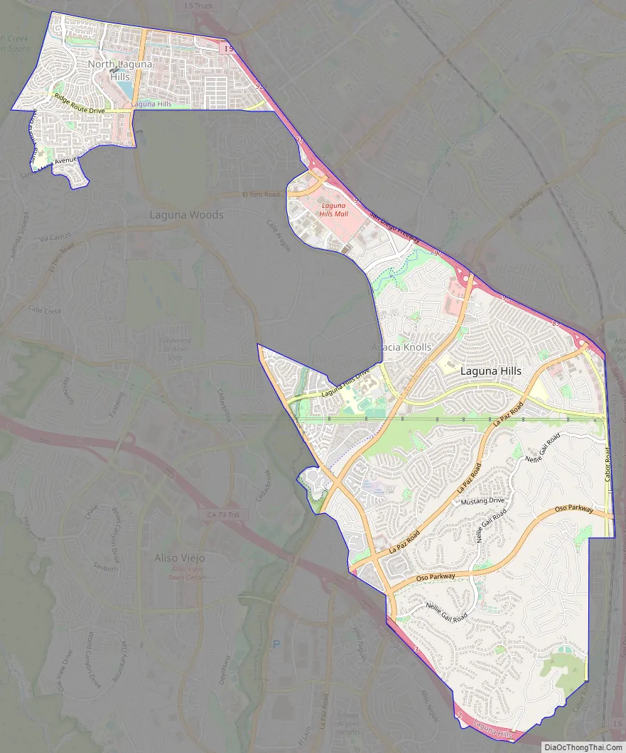
Laguna Hills Road Map
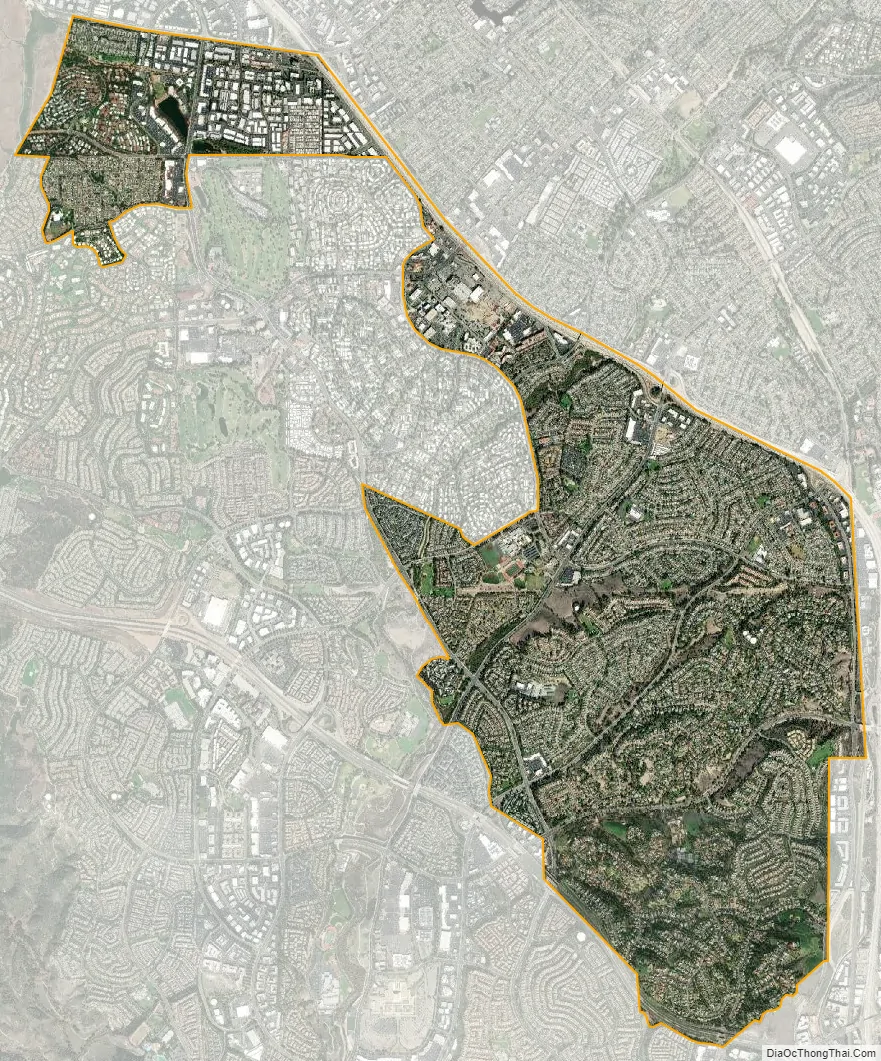
Laguna Hills city Satellite Map
Geography
According to the United States Census Bureau, the city has a total area of 6.7 square miles (17 km). 6.7 square miles (17 km) of it is land and 0.025 square miles (0.065 km) of it (0.37%) is water.
See also
Map of California State and its subdivision:- Alameda
- Alpine
- Amador
- Butte
- Calaveras
- Colusa
- Contra Costa
- Del Norte
- El Dorado
- Fresno
- Glenn
- Humboldt
- Imperial
- Inyo
- Kern
- Kings
- Lake
- Lassen
- Los Angeles
- Madera
- Marin
- Mariposa
- Mendocino
- Merced
- Modoc
- Mono
- Monterey
- Napa
- Nevada
- Orange
- Placer
- Plumas
- Riverside
- Sacramento
- San Benito
- San Bernardino
- San Diego
- San Francisco
- San Joaquin
- San Luis Obispo
- San Mateo
- Santa Barbara
- Santa Clara
- Santa Cruz
- Shasta
- Sierra
- Siskiyou
- Solano
- Sonoma
- Stanislaus
- Sutter
- Tehama
- Trinity
- Tulare
- Tuolumne
- Ventura
- Yolo
- Yuba
- Alabama
- Alaska
- Arizona
- Arkansas
- California
- Colorado
- Connecticut
- Delaware
- District of Columbia
- Florida
- Georgia
- Hawaii
- Idaho
- Illinois
- Indiana
- Iowa
- Kansas
- Kentucky
- Louisiana
- Maine
- Maryland
- Massachusetts
- Michigan
- Minnesota
- Mississippi
- Missouri
- Montana
- Nebraska
- Nevada
- New Hampshire
- New Jersey
- New Mexico
- New York
- North Carolina
- North Dakota
- Ohio
- Oklahoma
- Oregon
- Pennsylvania
- Rhode Island
- South Carolina
- South Dakota
- Tennessee
- Texas
- Utah
- Vermont
- Virginia
- Washington
- West Virginia
- Wisconsin
- Wyoming


