Laguna Woods (Laguna, Spanish for “Lagoon”) is a city in Orange County, California, United States. The population was 16,192 at the 2010 census, down from 16,507 at the 2000 census, with a median age of 78.
Laguna Woods became Orange County’s 32nd city on March 24, 1999, after local residents voted to separate from Laguna Hills. About ninety percent of the city consists of Laguna Woods Village, a private gated retirement community, formerly known as Leisure World. The other ten percent consists of businesses, some homes and the city hall, which are accessible to the public. Incorporation efforts in the late 1990s were largely driven by the need for residents to have a stronger voice against the prospective construction of an international airport at the nearby decommissioned Marine Corps Air Station El Toro. The airport proposal was defeated, and the land in question has been tabbed for development as the Orange County Great Park.
| Name: | Laguna Woods city |
|---|---|
| LSAD Code: | 25 |
| LSAD Description: | city (suffix) |
| State: | California |
| County: | Orange County |
| Incorporated: | March 24, 1999 |
| Elevation: | 381 ft (116 m) |
| Total Area: | 3.34 sq mi (8.64 km²) |
| Land Area: | 3.34 sq mi (8.64 km²) |
| Water Area: | 0.00 sq mi (0.00 km²) 0.01% |
| Total Population: | 16,192 |
| Population Density: | 4,751.20/sq mi (1,834.65/km²) |
| ZIP code: | 92637 |
| Area code: | 949 |
| FIPS code: | 0639259 |
| GNISfeature ID: | 1848119 |
| Website: | www.cityoflagunawoods.org |
Online Interactive Map
Click on ![]() to view map in "full screen" mode.
to view map in "full screen" mode.
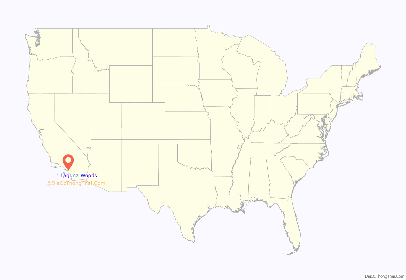
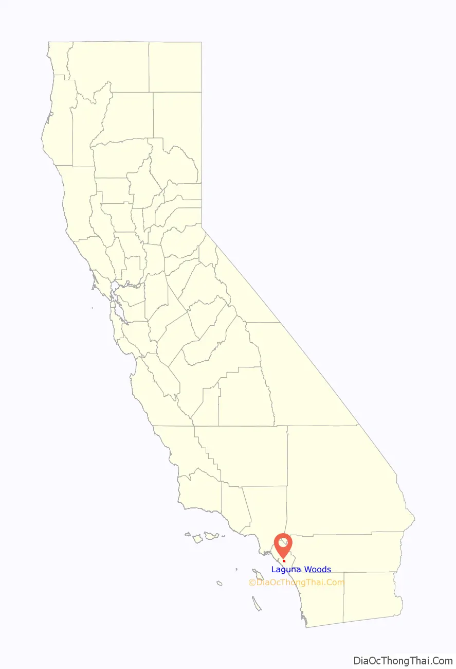
Laguna Woods location map. Where is Laguna Woods city?
History
On May 15, 2022, a shooting occurred at the Geneva Presbyterian Church in Laguna Woods. One person was killed and five others were injured. The attack is believed to have been motivated by anti-Taiwanese sentiment.
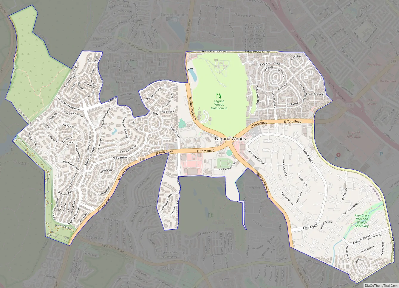
Laguna Woods Road Map
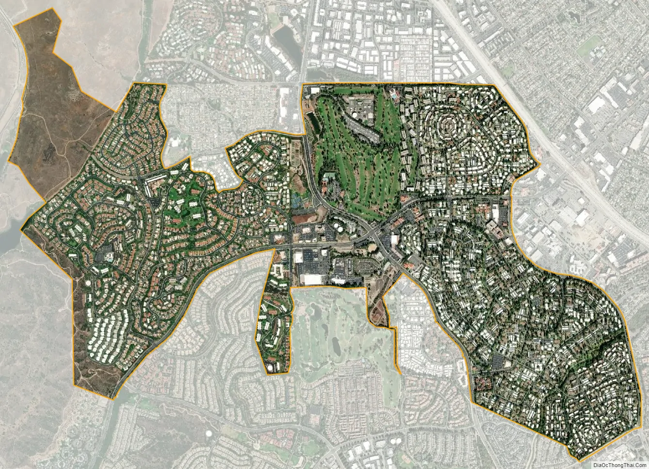
Laguna Woods city Satellite Map
Geography
Laguna Woods is located at 33°36′33″N 117°43′58″W / 33.60917°N 117.73278°W / 33.60917; -117.73278 (33.609165, -117.732791). According to the United States Census Bureau, the city has a total area of 3.1 square miles (8.0 km), which is virtually all land.
It is bordered by Laguna Hills on the north and east, Aliso Viejo on the south, Laguna Beach on the southwest, the Crystal Cove State Park on the west, and Irvine on the northwest.
See also
Map of California State and its subdivision:- Alameda
- Alpine
- Amador
- Butte
- Calaveras
- Colusa
- Contra Costa
- Del Norte
- El Dorado
- Fresno
- Glenn
- Humboldt
- Imperial
- Inyo
- Kern
- Kings
- Lake
- Lassen
- Los Angeles
- Madera
- Marin
- Mariposa
- Mendocino
- Merced
- Modoc
- Mono
- Monterey
- Napa
- Nevada
- Orange
- Placer
- Plumas
- Riverside
- Sacramento
- San Benito
- San Bernardino
- San Diego
- San Francisco
- San Joaquin
- San Luis Obispo
- San Mateo
- Santa Barbara
- Santa Clara
- Santa Cruz
- Shasta
- Sierra
- Siskiyou
- Solano
- Sonoma
- Stanislaus
- Sutter
- Tehama
- Trinity
- Tulare
- Tuolumne
- Ventura
- Yolo
- Yuba
- Alabama
- Alaska
- Arizona
- Arkansas
- California
- Colorado
- Connecticut
- Delaware
- District of Columbia
- Florida
- Georgia
- Hawaii
- Idaho
- Illinois
- Indiana
- Iowa
- Kansas
- Kentucky
- Louisiana
- Maine
- Maryland
- Massachusetts
- Michigan
- Minnesota
- Mississippi
- Missouri
- Montana
- Nebraska
- Nevada
- New Hampshire
- New Jersey
- New Mexico
- New York
- North Carolina
- North Dakota
- Ohio
- Oklahoma
- Oregon
- Pennsylvania
- Rhode Island
- South Carolina
- South Dakota
- Tennessee
- Texas
- Utah
- Vermont
- Virginia
- Washington
- West Virginia
- Wisconsin
- Wyoming


