Los Banos (/loʊs ˈbænoʊs/ lohss BAN-ohss), alternatively Los Baños (/loʊs ˈbænjoʊs/ lohss BAN-yohss), is a city in Merced County, California, United States. It is located in the San Joaquin Valley in central California, near the junction of State Route 152 and Interstate 5. Its population was 45,532 at the 2020 census, up from 35,972 at the 2010 census. The city is served by Los Banos Municipal Airport for air transport access.
| Name: | Los Banos city |
|---|---|
| LSAD Code: | 25 |
| LSAD Description: | city (suffix) |
| State: | California |
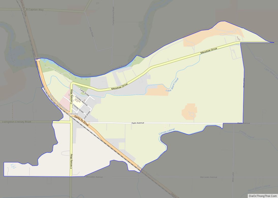
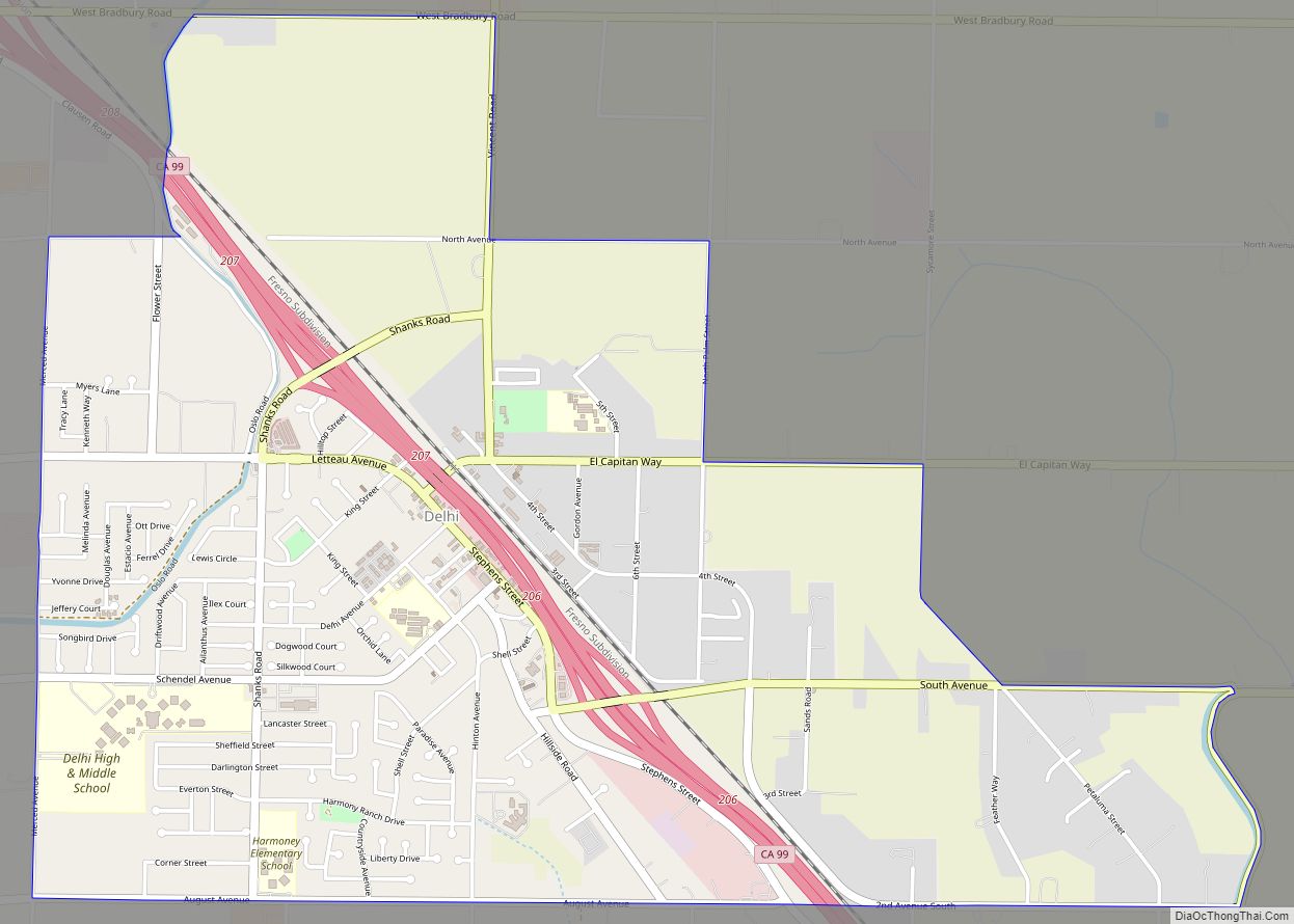
| County: | Merced County |
| Incorporated: | May 8, 1907 |
| Elevation: | 118 ft (35 m) |
| Total Area: | 10.12 sq mi (26.2 km²) |
| Land Area: | 10.00 sq mi (25.9 km²) |
| Water Area: | 0.12 sq mi (0.3 km²) 1.22% |
| Total Population: | 45,532 |
| Population Density: | 4,500/sq mi (1,700/km²) |
| ZIP code: | 93635 |
| Area code: | 209 |
| FIPS code: | 0644028 |
| Website: | www.losbanos.org |
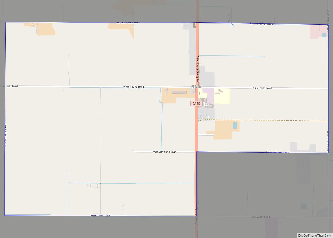
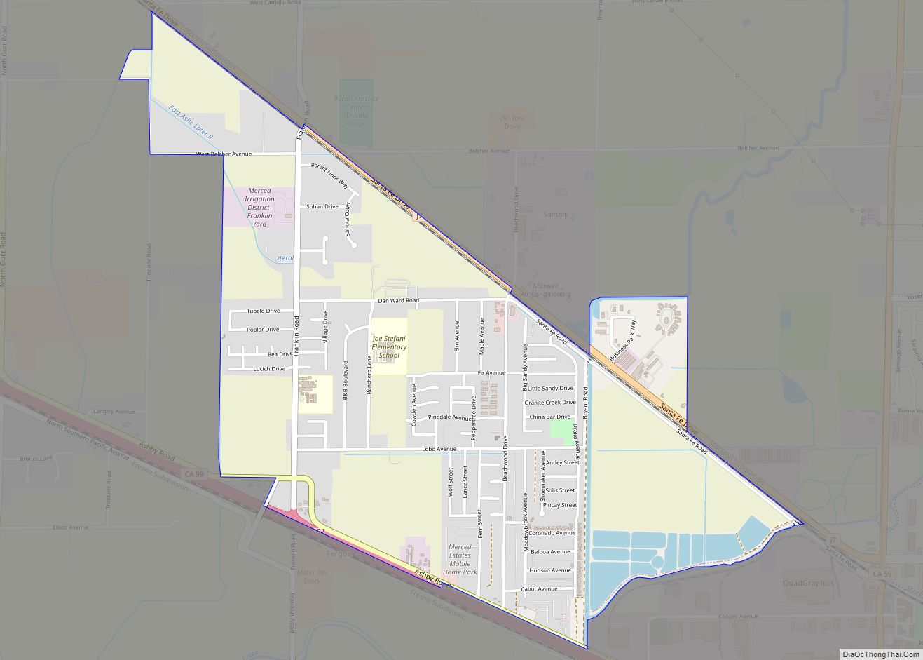
Online Interactive Map
Click on ![]() to view map in "full screen" mode.
to view map in "full screen" mode.
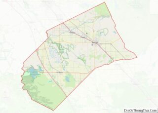
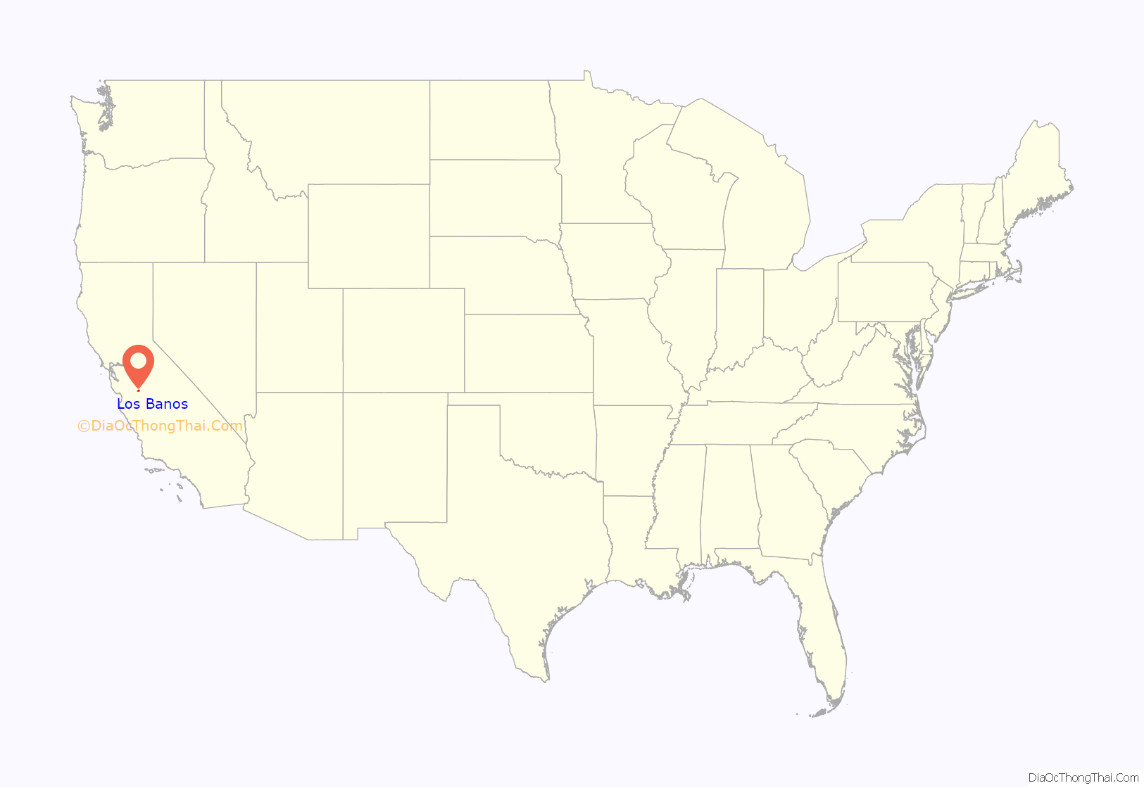
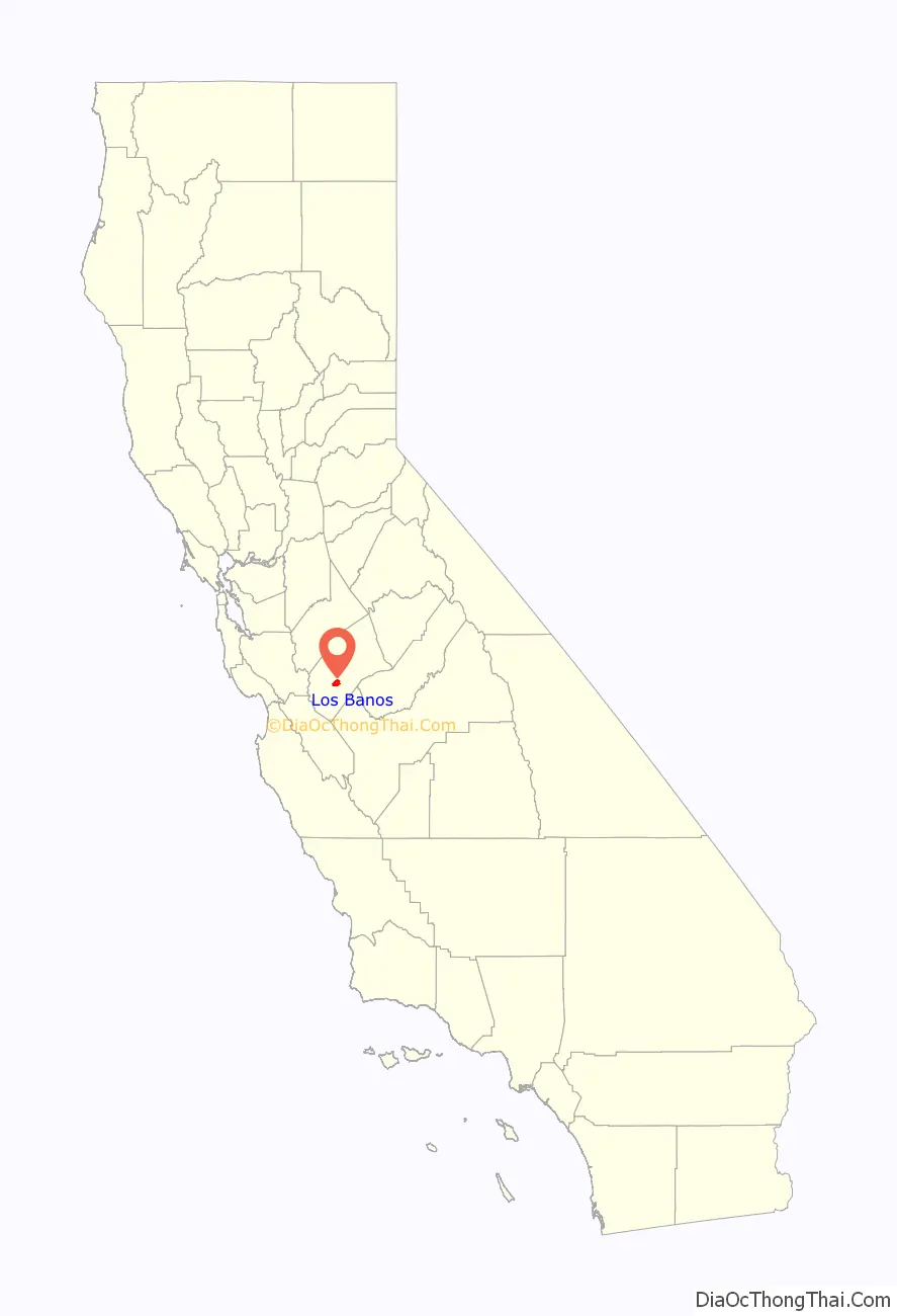
Los Banos location map. Where is Los Banos city?
History
The Los Banos area was initially settled, according to Mexican land-grant records, in the 1840s. The first white settler in the area was Uriah Wood, who built his two-room cabin in 1859. The original site of Los Banos was located several miles from the current town center, about a mile and half west of the railroad near present-day Volta. The town was essentially a trading post and received its name when the post office was established and the Post Office Department designated the office “Los Banos” after the nearby creek. When the railroad arrived, Los Banos relocated to its present-day site. The first post office opened in 1873.
Land and water rights were important to early Los Banos residents, but those rights were recognized only when the land and deed were registered. Sometimes, those rights depended on fleet footedness, as it did in the “race” between Los Banos residents Uriah Wood and Henry Miller. Wood, whose homestead was located off of Badger Flat Road, raced Miller to the land office in Stockton to insure his claim to the land would be recognized. After crossing the San Joaquin River, Wood paid the ferryman $5 to hold the boat on the east side of the river to insure he would gain sufficient distance from Miller to ensure he would reach the land office first. Wood succeeded and the seven sections that he registered cost him only 45¢ an acre.
The centerpiece of downtown Los Banos is Henry Miller Plaza, honoring early California rancher Henry Miller. The 10-acre (4.0 ha) half-oval public plaza features a monumental scale bronze arrangement of Miller with cattle. At one time in the late 19th century, Miller was the largest land owner in the United States. The success of his business monopolized the California agricultural industry, funneling resources and supplies to create his prosperous company. Centered around cattle farming, the Miller and Lux Corporation ultimately transformed the San Joaquin Valley into what can be considered as a precursor to corporate farming and turning independent farmers into wageworkers. His company, the Miller & Lux Corporation, was headquartered in Los Banos on a site currently housing the Mexican restaurant España’s and the Canal Farm Inn.
Los Banos has a long history of Portuguese and Spanish immigrants, as do many of the nearby towns on the west side of the San Joaquin Valley. This is reflected both in local restaurants and in several festivals and parades that take place during the year. There is also a significant community of Basques. Los Banos is locally known for its annual May Day Fair during the first week of May.
Los Banos is home to The Randall Fawcett House, a Frank Lloyd Wright designed Usonian home.
A member of the Manson family, Susan Atkins attended Los Banos High School, before joining the family.
Since the 1980s, the city’s population has changed with a continuing influx of people who work in the San Jose/Silicon Valley area but seek more affordable housing and slower pace of semi-rural life, a pattern seen in many other small towns within commuting distance of Silicon Valley.
- California Historical Landmark Canal Farm Inn is located at 1460 E Pacheco Blvd, Los Banos. Canal Farm Inn is a California Historical Landmarks, number 548.
The California Historical Landmark reads:
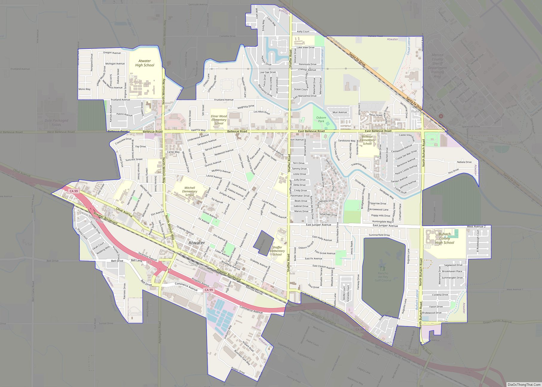
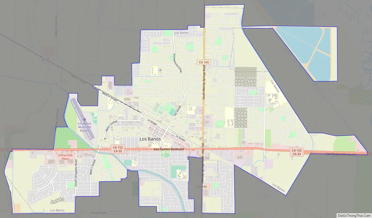
Los Banos Road Map
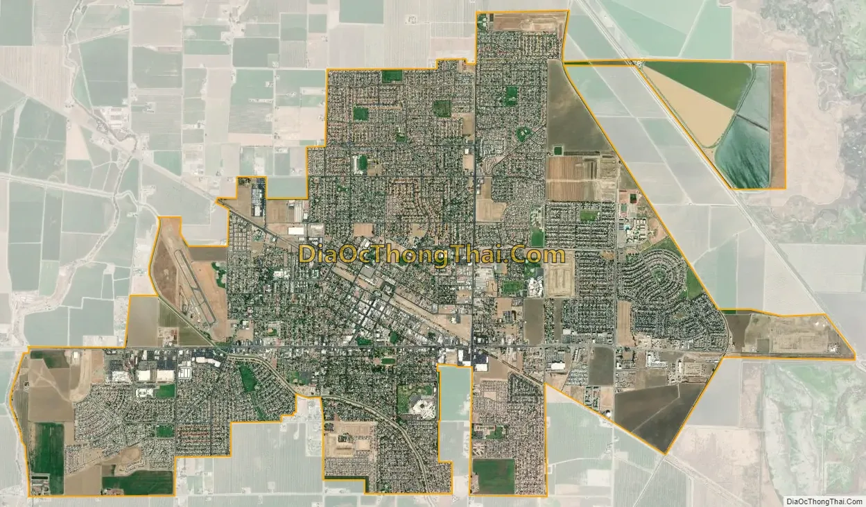
Los Banos city Satellite Map
Geography
Los Banos is located on the west side of the San Joaquin Valley, 26 miles (42 km) southwest of Merced, at about 118 ft (36 m) elevation. Its coordinates are 37°03′30″N 120°51′00″W / 37.05833°N 120.85000°W / 37.05833; -120.85000. The city is at the intersection of California State Route 152 and California State Route 165. 7 miles (11 km) to the west is Interstate 5, which extends north–south between Canada and Mexico. The San Luis Reservoir and the Diablo Range are farther to the west.
According to the United States Census Bureau, the city has a total area of 10.1 square miles (26 km), of which 0.1 square miles (0.26 km) (1.22%) is covered by water.
Los Banos sits on the southwestern edge of extensive national and state game refuges; these wetlands support waterfowl and other wildlife habitat along a stretch of the San Joaquin River that still carries water and the Grassland Ecological Area, home to rare California grasslands habitat. The San Luis National Wildlife Refuge Complex includes San Luis National Wildlife Refuge, which includes the Kesterson Unit, East Bear Creek, West Bear Creek, and Blue Goose Unit. Nearby are the Merced National Wildlife Refuge and the San Joaquin River National Wildlife Refuge. Fishers, hunters, birdwatchers, and other recreational users come to Los Banos year round.
Climate
Los Banos has a semiarid climate (Köppen climate classification: Bsk) with cool winters and hot summers. Most of the precipitation falls in the winter. Gusty winds are common in the late afternoon, especially in the vicinity of nearby Pacheco Pass.
On average, 96.9 days have highs of 90 °F (32 °C) or higher, and 29.4 days have lows of 32 °F (0 °C) or lower. The record high temperature of 116 °F (47 °C) was on July 25, 1931. A record low temperature of 14 °F (−10 °C) was on January 11, 1949, and again on December 22, 1990.
The average annual rainfall is 9.95 inches (25.3 cm), with an average of 46 days with measurable precipitation. The wettest year recorded was 1998 with 21.08 inches (53.5 cm) and the driest year was 1947 with 4.61 inches (11.7 cm). The most rainfall in one month was 8.08 inches (20.5 cm) in March 1998. The most rainfall in 24 hours was 2.40 inches (6.1 cm) on January 18, 1914. Although snow is rare, 3 in (7.6 cm) fell in January 1916 and 1.5 inches (3.8 cm) fell in January 1962.
See also
Map of California State and its subdivision:- Alameda
- Alpine
- Amador
- Butte
- Calaveras
- Colusa
- Contra Costa
- Del Norte
- El Dorado
- Fresno
- Glenn
- Humboldt
- Imperial
- Inyo
- Kern
- Kings
- Lake
- Lassen
- Los Angeles
- Madera
- Marin
- Mariposa
- Mendocino
- Merced
- Modoc
- Mono
- Monterey
- Napa
- Nevada
- Orange
- Placer
- Plumas
- Riverside
- Sacramento
- San Benito
- San Bernardino
- San Diego
- San Francisco
- San Joaquin
- San Luis Obispo
- San Mateo
- Santa Barbara
- Santa Clara
- Santa Cruz
- Shasta
- Sierra
- Siskiyou
- Solano
- Sonoma
- Stanislaus
- Sutter
- Tehama
- Trinity
- Tulare
- Tuolumne
- Ventura
- Yolo
- Yuba
- Alabama
- Alaska
- Arizona
- Arkansas
- California
- Colorado
- Connecticut
- Delaware
- District of Columbia
- Florida
- Georgia
- Hawaii
- Idaho
- Illinois
- Indiana
- Iowa
- Kansas
- Kentucky
- Louisiana
- Maine
- Maryland
- Massachusetts
- Michigan
- Minnesota
- Mississippi
- Missouri
- Montana
- Nebraska
- Nevada
- New Hampshire
- New Jersey
- New Mexico
- New York
- North Carolina
- North Dakota
- Ohio
- Oklahoma
- Oregon
- Pennsylvania
- Rhode Island
- South Carolina
- South Dakota
- Tennessee
- Texas
- Utah
- Vermont
- Virginia
- Washington
- West Virginia
- Wisconsin
- Wyoming