Morongo Valley is a census-designated place (CDP) on State Route 62 in San Bernardino County, California, United States. The population was 3,552 at the 2010 census, up from 1,929 at the 2000 census. The town is bordered by Yucca Valley, California.
| Name: | Morongo Valley CDP |
|---|---|
| LSAD Code: | 57 |
| LSAD Description: | CDP (suffix) |
| State: | California |
| County: | San Bernardino County |
| Elevation: | 2,582 ft (787 m) |
| Total Area: | 25.219 sq mi (65.317 km²) |
| Land Area: | 25.219 sq mi (65.317 km²) |
| Water Area: | 0 sq mi (0 km²) 0% |
| Total Population: | 3,552 |
| Population Density: | 140/sq mi (54/km²) |
| ZIP code: | 92256 |
| FIPS code: | 0649348 |
| GNISfeature ID: | 1652755 |
Online Interactive Map
Click on ![]() to view map in "full screen" mode.
to view map in "full screen" mode.
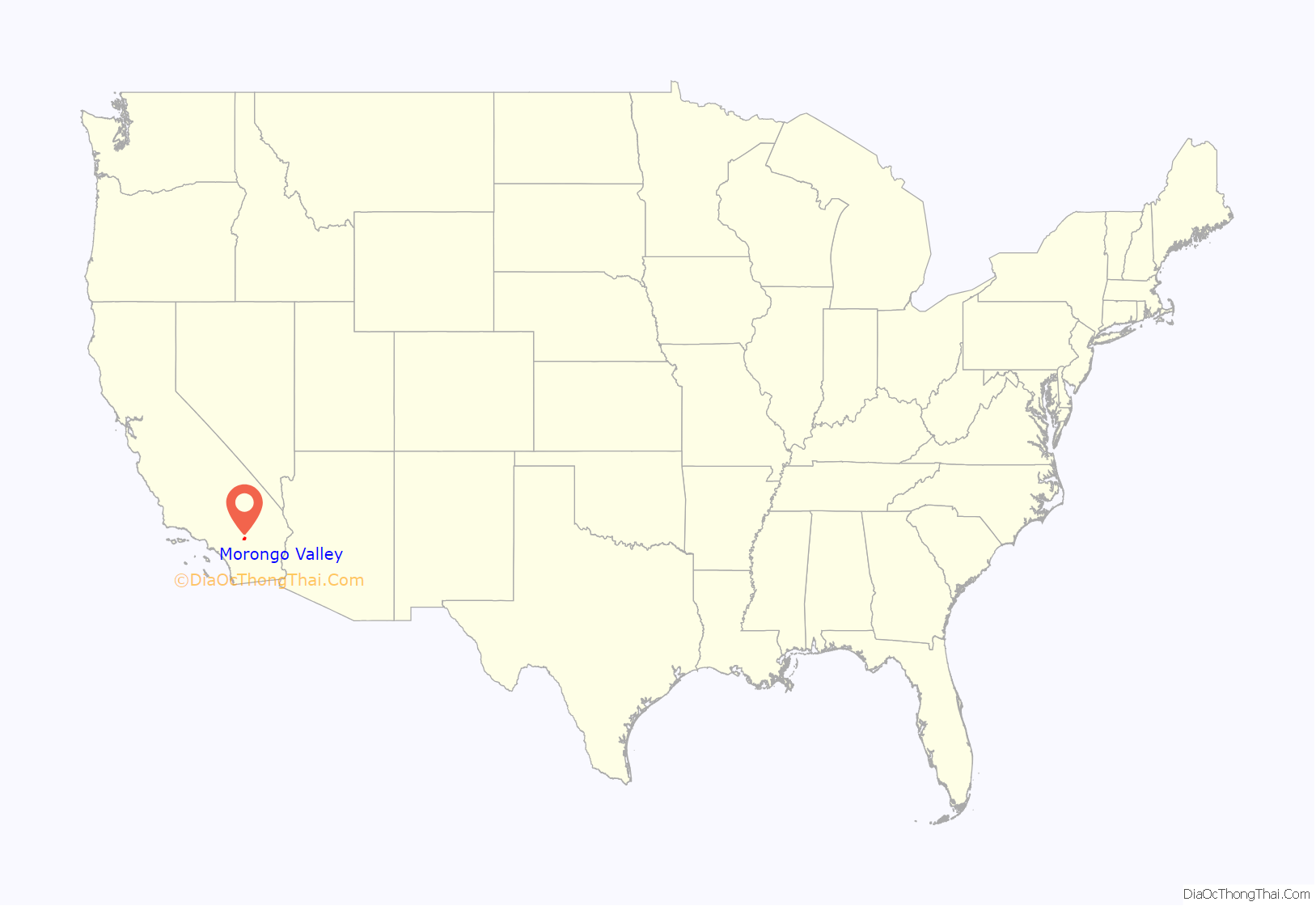
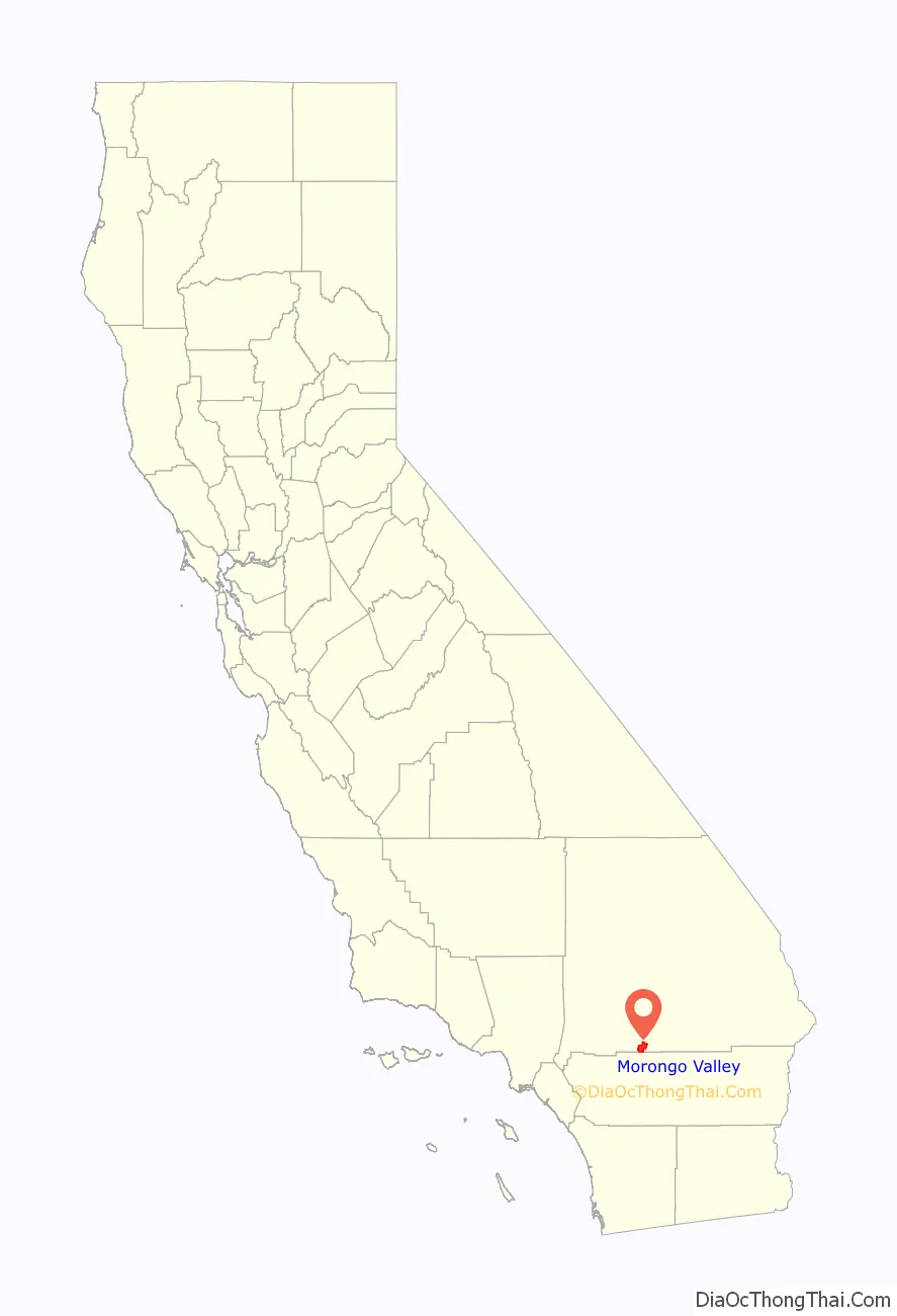
Morongo Valley location map. Where is Morongo Valley CDP?
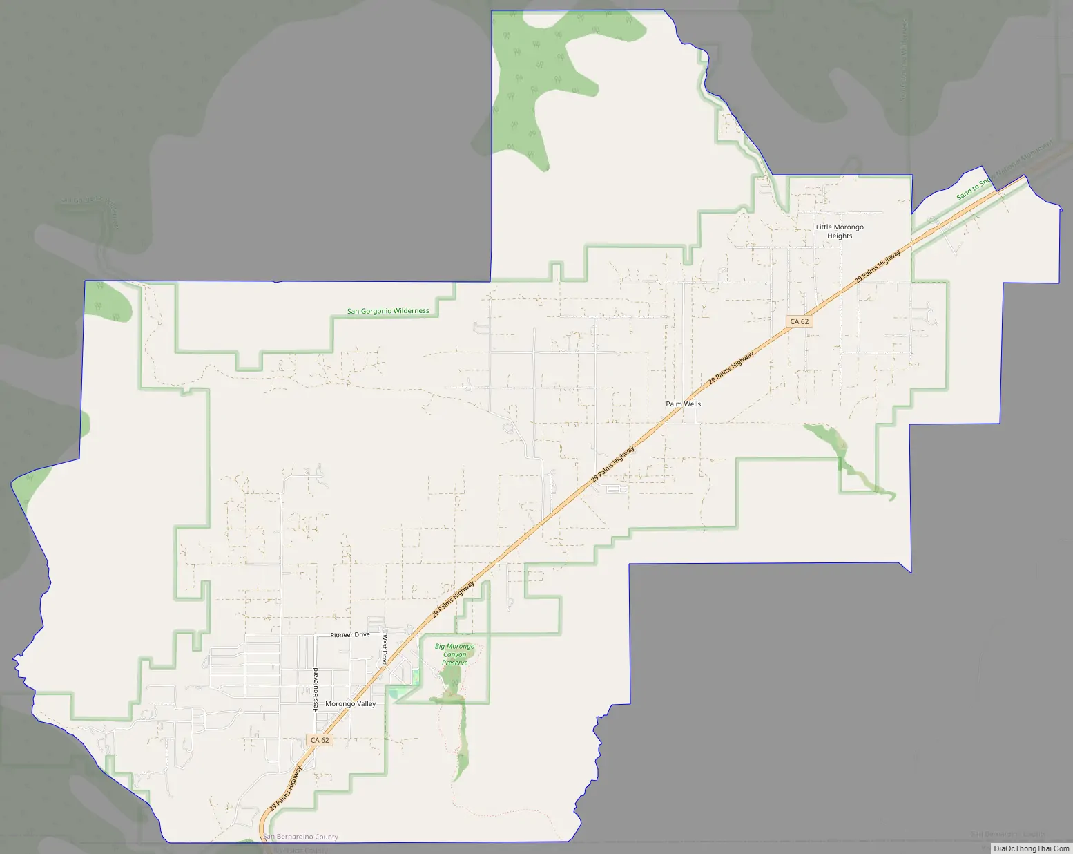
Morongo Valley Road Map
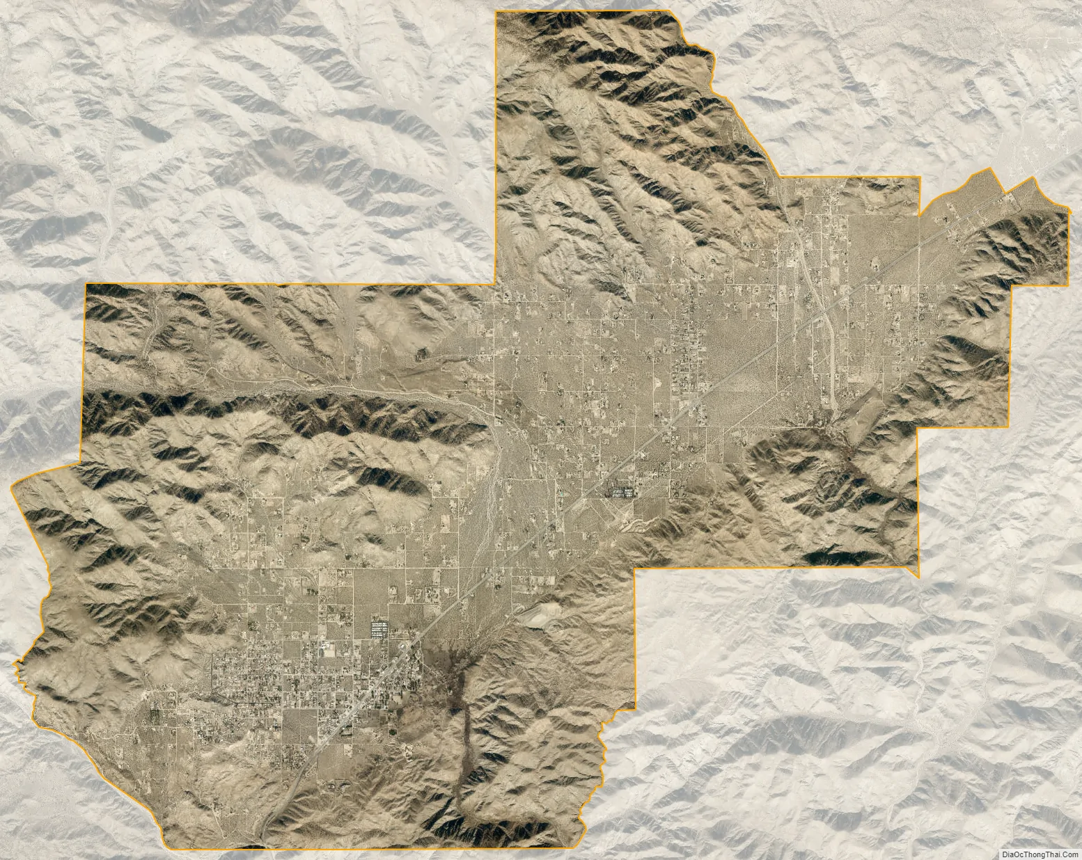
Morongo Valley city Satellite Map
Geography
Morongo Valley is located on State Route 62, about 10 miles (16 km) west of Yucca Valley.
Morongo Valley lies along the western edge of the Mojave Desert and near the northern edge of the Coachella Valley, and as such is generally dry. Monsoonal moisture leads to thunderstorms at times during the summer, but in the winter, Pacific storms bring most of the rain. According to the United States Census Bureau, the CDP has a total area of 25.2 square miles (65 km), all land.
See also
Map of California State and its subdivision:- Alameda
- Alpine
- Amador
- Butte
- Calaveras
- Colusa
- Contra Costa
- Del Norte
- El Dorado
- Fresno
- Glenn
- Humboldt
- Imperial
- Inyo
- Kern
- Kings
- Lake
- Lassen
- Los Angeles
- Madera
- Marin
- Mariposa
- Mendocino
- Merced
- Modoc
- Mono
- Monterey
- Napa
- Nevada
- Orange
- Placer
- Plumas
- Riverside
- Sacramento
- San Benito
- San Bernardino
- San Diego
- San Francisco
- San Joaquin
- San Luis Obispo
- San Mateo
- Santa Barbara
- Santa Clara
- Santa Cruz
- Shasta
- Sierra
- Siskiyou
- Solano
- Sonoma
- Stanislaus
- Sutter
- Tehama
- Trinity
- Tulare
- Tuolumne
- Ventura
- Yolo
- Yuba
- Alabama
- Alaska
- Arizona
- Arkansas
- California
- Colorado
- Connecticut
- Delaware
- District of Columbia
- Florida
- Georgia
- Hawaii
- Idaho
- Illinois
- Indiana
- Iowa
- Kansas
- Kentucky
- Louisiana
- Maine
- Maryland
- Massachusetts
- Michigan
- Minnesota
- Mississippi
- Missouri
- Montana
- Nebraska
- Nevada
- New Hampshire
- New Jersey
- New Mexico
- New York
- North Carolina
- North Dakota
- Ohio
- Oklahoma
- Oregon
- Pennsylvania
- Rhode Island
- South Carolina
- South Dakota
- Tennessee
- Texas
- Utah
- Vermont
- Virginia
- Washington
- West Virginia
- Wisconsin
- Wyoming


