Muscoy is a census-designated place (CDP) in San Bernardino County, California, United States. The population was 10,644 at the 2010 census, up from 8,919 at the 2000 census. Muscoy shares ZIP code 92407 with the communities of Verdemont, Devore Heights, Rosena Ranch and Arrowhead Farms in northwestern San Bernardino. Residents enjoy a semi-rural setting with large lots where they can raise horses and other livestock, nursery plants, and fruit trees. For this reason, much of Muscoy is included in the county Additional Agriculture (AA) overlay, which specifies the types and quantities of animals that may be kept on each parcel. A distinctive feature of Muscoy life today is motor vehicles and equestrians sharing the roadways.
| Name: | Muscoy CDP |
|---|---|
| LSAD Code: | 57 |
| LSAD Description: | CDP (suffix) |
| State: | California |
| County: | San Bernardino County |
| Elevation: | 1,388 ft (423 m) |
| Total Area: | 3.147 sq mi (8.150 km²) |
| Land Area: | 3.143 sq mi (8.140 km²) |
| Water Area: | 0.004 sq mi (0.010 km²) 0.13% |
| Total Population: | 10,644 |
| Population Density: | 3,400/sq mi (1,300/km²) |
| ZIP code: | 92407 |
| Area code: | 909 |
| FIPS code: | 0650132 |
| GNISfeature ID: | 1652756 |
Online Interactive Map
Click on ![]() to view map in "full screen" mode.
to view map in "full screen" mode.
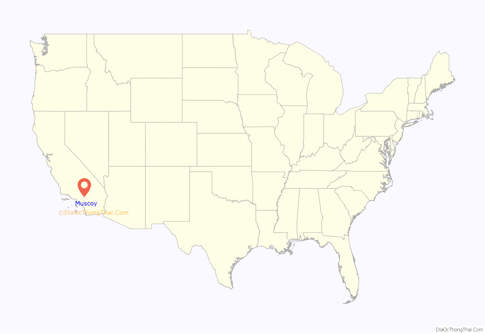
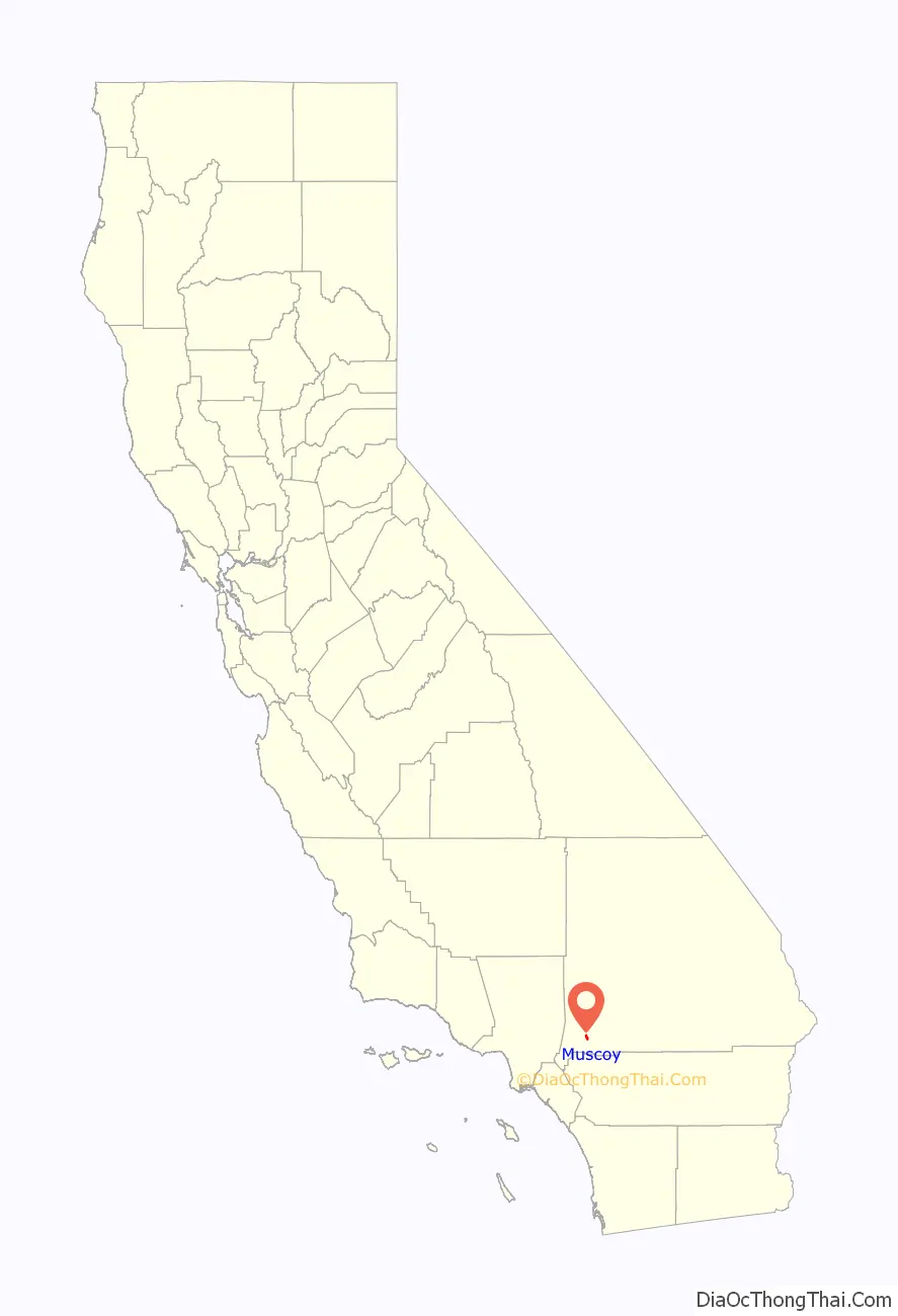
Muscoy location map. Where is Muscoy CDP?
History
Muscoy was developed in the mid-1890s as a community designed to accommodate family agricultural enterprises. Roads and water service were developed to serve one to ten acre parcels. Vineyards, orchards and various field crops were planted and cultivated. After World War II, population growth accelerated and the area began a transition from agricultural use to a more suburban residential character. During the 1950s and 1960s, the San Bernardino area became a popular stop during road trips. This resulted in more shops opening up to serve the needs of travelers, and more people establishing permanent residences around the Muscoy area. In 1989, a gasoline pipeline explosion caused two deaths.
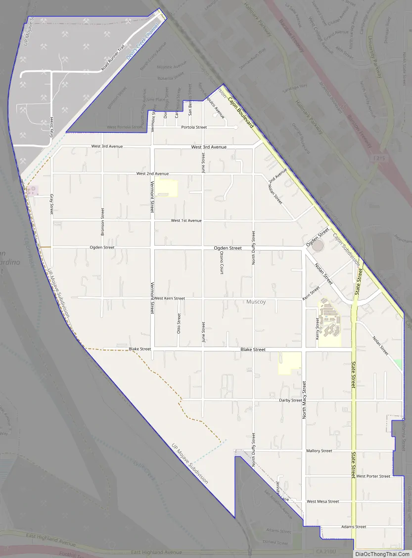
Muscoy Road Map
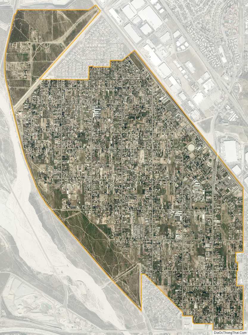
Muscoy city Satellite Map
Geography
Muscoy is located at 34°9′22″N 117°20′48″W / 34.15611°N 117.34667°W / 34.15611; -117.34667 (34.156009, -117.346552). Elevation ranges from 1240′ in the south to 1600′ in the north.
According to the United States Census Bureau, the CDP has a total area of 3.1 square miles (8.0 km), 99.87% of it is land and 0.13% is water.
Muscoy is bordered on the west by Lytle Creek wash, most of the time a dry river bed, other times the scene of raging flash floods.
See also
Map of California State and its subdivision:- Alameda
- Alpine
- Amador
- Butte
- Calaveras
- Colusa
- Contra Costa
- Del Norte
- El Dorado
- Fresno
- Glenn
- Humboldt
- Imperial
- Inyo
- Kern
- Kings
- Lake
- Lassen
- Los Angeles
- Madera
- Marin
- Mariposa
- Mendocino
- Merced
- Modoc
- Mono
- Monterey
- Napa
- Nevada
- Orange
- Placer
- Plumas
- Riverside
- Sacramento
- San Benito
- San Bernardino
- San Diego
- San Francisco
- San Joaquin
- San Luis Obispo
- San Mateo
- Santa Barbara
- Santa Clara
- Santa Cruz
- Shasta
- Sierra
- Siskiyou
- Solano
- Sonoma
- Stanislaus
- Sutter
- Tehama
- Trinity
- Tulare
- Tuolumne
- Ventura
- Yolo
- Yuba
- Alabama
- Alaska
- Arizona
- Arkansas
- California
- Colorado
- Connecticut
- Delaware
- District of Columbia
- Florida
- Georgia
- Hawaii
- Idaho
- Illinois
- Indiana
- Iowa
- Kansas
- Kentucky
- Louisiana
- Maine
- Maryland
- Massachusetts
- Michigan
- Minnesota
- Mississippi
- Missouri
- Montana
- Nebraska
- Nevada
- New Hampshire
- New Jersey
- New Mexico
- New York
- North Carolina
- North Dakota
- Ohio
- Oklahoma
- Oregon
- Pennsylvania
- Rhode Island
- South Carolina
- South Dakota
- Tennessee
- Texas
- Utah
- Vermont
- Virginia
- Washington
- West Virginia
- Wisconsin
- Wyoming


