Paradise Park is a census-designated place (CDP) in Santa Cruz County, California. Paradise Park sits at an elevation of 92 feet (28 m). The 2020 United States census reported Paradise Park’s population was 550, which is up from 389 people in the 2010 census.
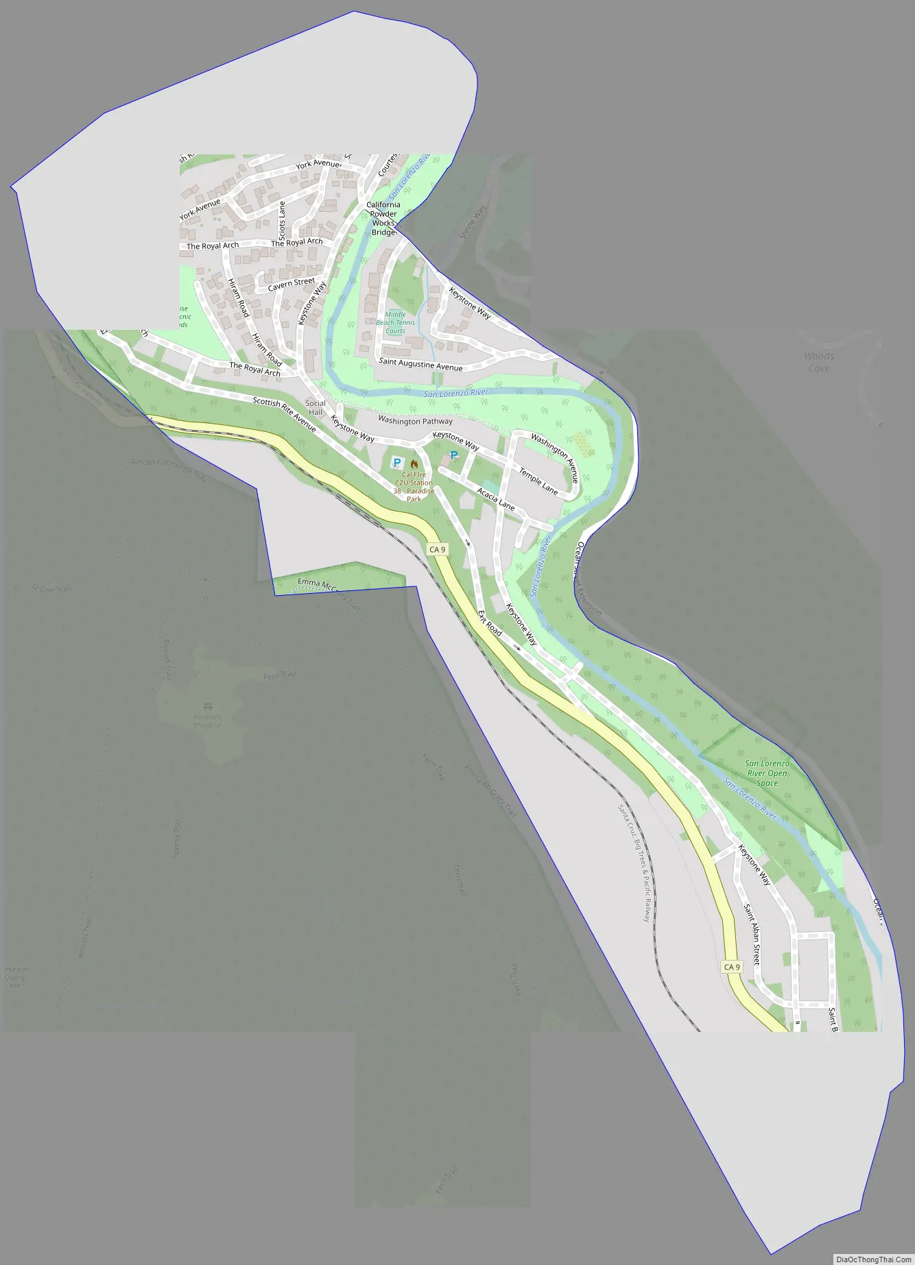
Paradise Park is separated from the University of California, Santa Cruz campus by Pogonip Park and Highway 9.
| Name: | Paradise Park CDP |
|---|---|
| LSAD Code: | 57 |
| LSAD Description: | CDP (suffix) |
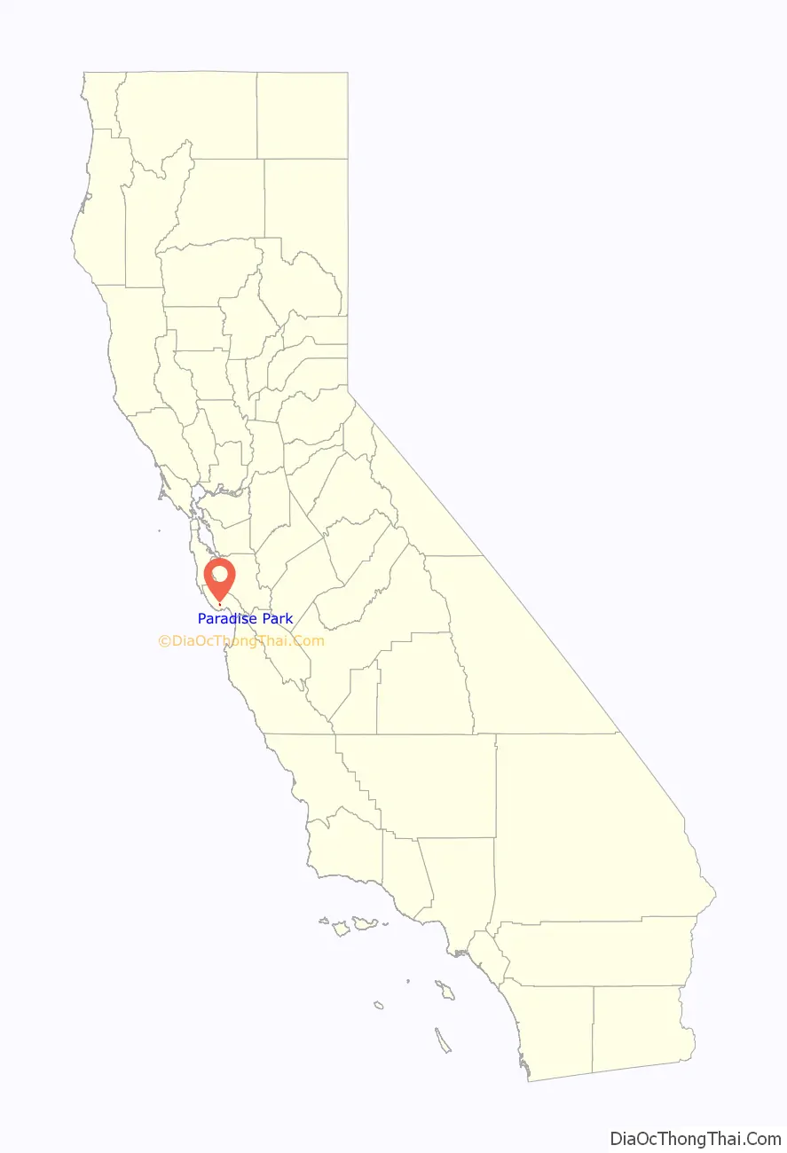
| State: | California |
| County: | Santa Cruz County |
| Elevation: | 92 ft (28 m) |
| Total Area: | 0.279 sq mi (0.722 km²) |
| Land Area: | 0.279 sq mi (0.722 km²) |
| Water Area: | 0 sq mi (0 km²) 0% |
| Total Population: | 550 |
| Population Density: | 2,000/sq mi (760/km²) |
| FIPS code: | 0655604 |
| GNISfeature ID: | 2583106 |
Online Interactive Map
Click on ![]() to view map in "full screen" mode.
to view map in "full screen" mode.
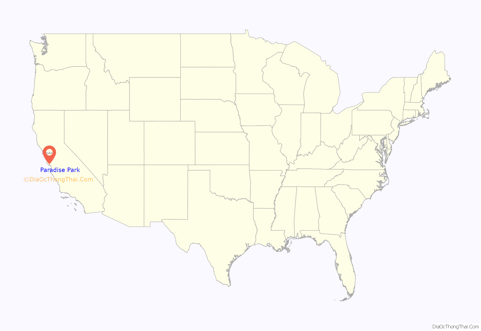
Paradise Park location map. Where is Paradise Park CDP?
History
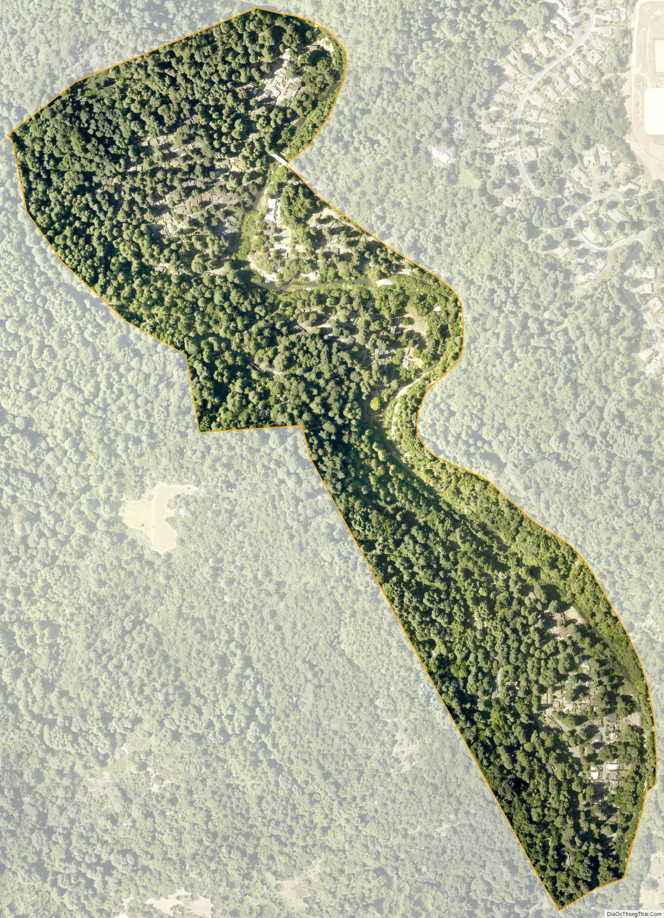
A group of Freemasons from Fresno, California purchased the 138-acre property for use as a summer retreat in 1924. They laid out streets with names related to Freemasonry. The area continues to be under the auspices of the Paradise Park Masonic Club, with homes owned by members.
In August 2020, Paradise Park was put under an evacuation order due to the CZU Lightning Complex fires.
Paradise Park Road Map
Paradise Park city Satellite Map
Geography
According to the United States Census Bureau, the CDP covers an area of 0.3 square miles (0.7 km), all of it land.
See also
Map of California State and its subdivision:- Alameda
- Alpine
- Amador
- Butte
- Calaveras
- Colusa
- Contra Costa
- Del Norte
- El Dorado
- Fresno
- Glenn
- Humboldt
- Imperial
- Inyo
- Kern
- Kings
- Lake
- Lassen
- Los Angeles
- Madera
- Marin
- Mariposa
- Mendocino
- Merced
- Modoc
- Mono
- Monterey
- Napa
- Nevada
- Orange
- Placer
- Plumas
- Riverside
- Sacramento
- San Benito
- San Bernardino
- San Diego
- San Francisco
- San Joaquin
- San Luis Obispo
- San Mateo
- Santa Barbara
- Santa Clara
- Santa Cruz
- Shasta
- Sierra
- Siskiyou
- Solano
- Sonoma
- Stanislaus
- Sutter
- Tehama
- Trinity
- Tulare
- Tuolumne
- Ventura
- Yolo
- Yuba
- Alabama
- Alaska
- Arizona
- Arkansas
- California
- Colorado
- Connecticut
- Delaware
- District of Columbia
- Florida
- Georgia
- Hawaii
- Idaho
- Illinois
- Indiana
- Iowa
- Kansas
- Kentucky
- Louisiana
- Maine
- Maryland
- Massachusetts
- Michigan
- Minnesota
- Mississippi
- Missouri
- Montana
- Nebraska
- Nevada
- New Hampshire
- New Jersey
- New Mexico
- New York
- North Carolina
- North Dakota
- Ohio
- Oklahoma
- Oregon
- Pennsylvania
- Rhode Island
- South Carolina
- South Dakota
- Tennessee
- Texas
- Utah
- Vermont
- Virginia
- Washington
- West Virginia
- Wisconsin
- Wyoming


