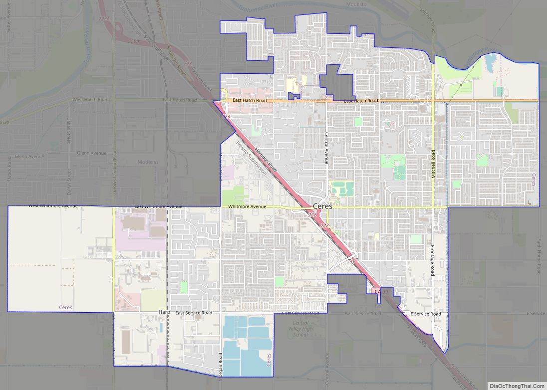
Patterson is a city in Stanislaus County, California, United States, located off Interstate 5. It is 27 miles (43 km) southeast of Tracy and is part of the Modesto Metropolitan Statistical Area. Patterson is known as the “Apricot Capital of the World”; the town holds an annual Apricot Fiesta to celebrate with many drinks, food, desserts and games. The population was 20,413 at the 2010 Census.
| Name: | Patterson city |
|---|---|
| LSAD Code: | 25 |
| LSAD Description: | city (suffix) |
| State: | California |
| County: | Stanislaus County |
| Incorporated: | December 22, 1919 |
| Elevation: | 115 ft (35 m) |
| Land Area: | 7.787 sq mi (20.17 km²) |
| Water Area: | 0.086 sq mi (0.22 km²) |
| Population Density: | 3,428.5/sq mi (1,323.8/km²) |
| ZIP code: | 95363 |
| Area code: | 209 |
| FIPS code: | 0656112 |
| Website: | www.ci.patterson.ca.us |
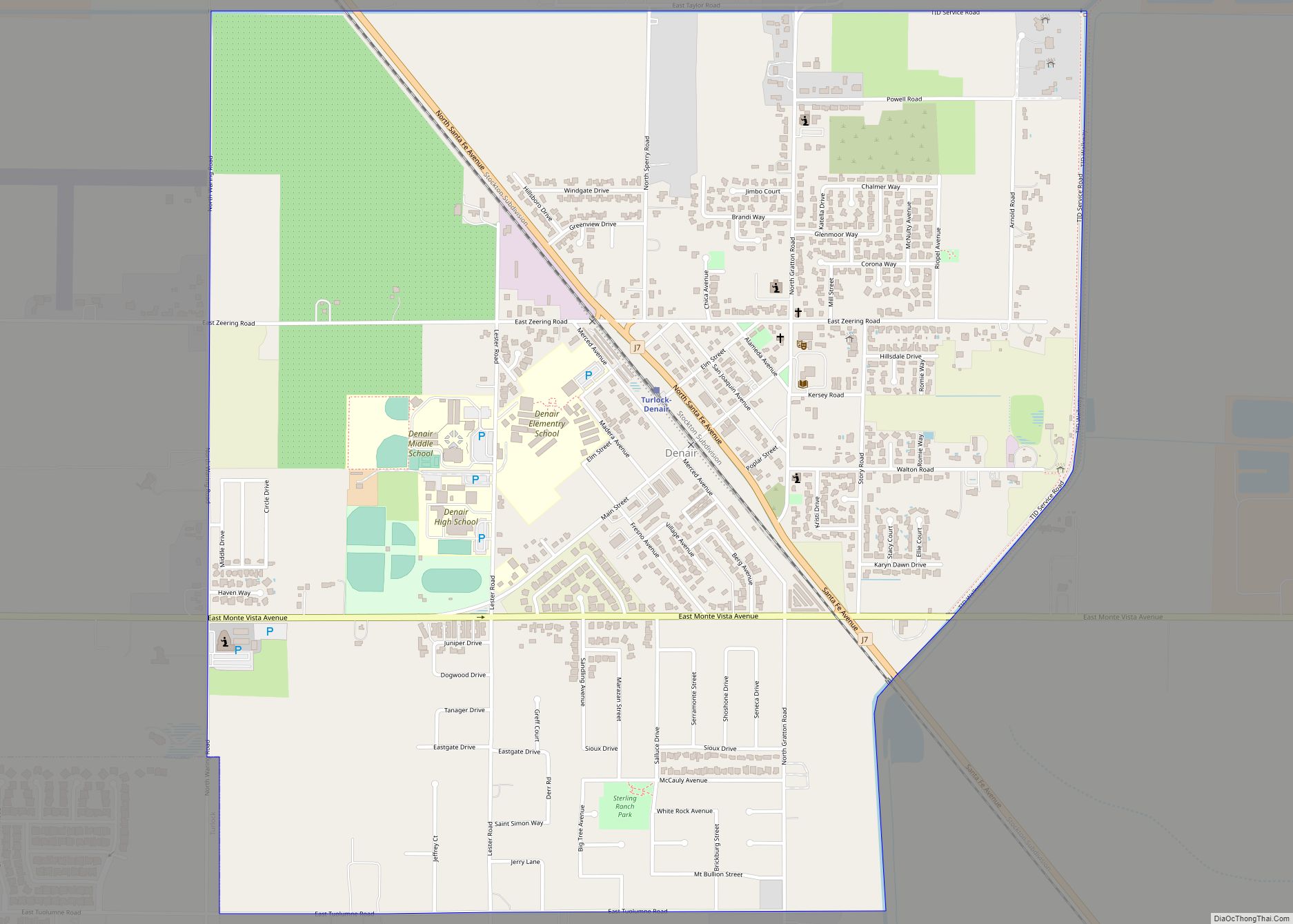
Online Interactive Map
Click on ![]() to view map in "full screen" mode.
to view map in "full screen" mode.
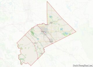
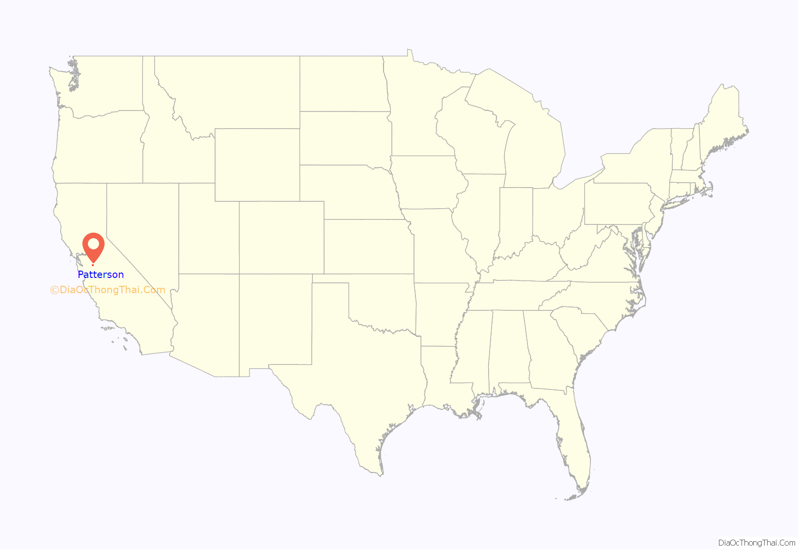
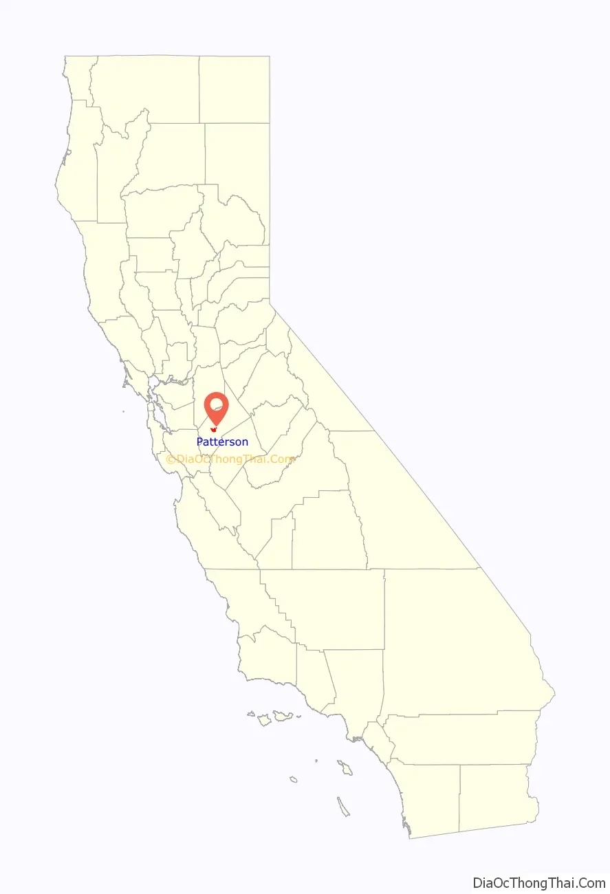
Patterson location map. Where is Patterson city?
History
The history of Patterson begins with the Rancho Del Puerto Mexican Land Grant to Mariano and Pedro Hernandez in 1844 by Governor Manuel Micheltorena. The grant extended east of the present-day Highway 33 to the San Joaquin River. The northern boundary was Del Puerto Creek and the southern boundary was just south of present-day Marshall Road.
Samuel G. Reed and Ruben S. Wade made claim to the land on January 7, 1855. A patent encompassing the land grant was signed by President Abraham Lincoln. Reed and Wade received title to 13,340 acres (54 km) on August 15, 1864. Reed and Wade then sold the grant to J. O. Eldredge on June 18, 1866, for $5,000. Mr. Eldredge held the title for only two months before selling it to John D. Patterson on August 14, 1866, for $5,400. John D. Patterson purchased additional land and, upon his death on March 7, 1902, a total of 18,462 acres (75 km) were willed to Thomas W. Patterson and William W. Patterson, his estate executors, and other heirs. The land was sold to the Patterson Ranch Company on May 16, 1908, for the sum of $540,000 cash gold coin. Thomas W. Patterson subdivided the land into ranches of various sizes and plotted the design of the town of Patterson. Determined to make Patterson different from most, he modeled his town after the cities of Washington, D.C. and Paris, France, using a series of circles and radiating streets. Major streets were planted with palm, eucalyptus, and sycamore trees.
The Patterson Colony map was filed with the Stanislaus County Recorders office on December 13, 1909. Sales of the ranch properties and city lots commenced. Patterson was the third city in Stanislaus County to incorporate on December 22, 1919. In May 1971, the chamber of commerce approved the title of “Apricot Capital of the World” for Patterson.
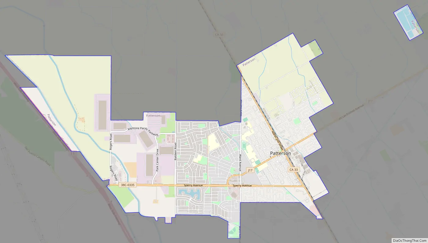
Patterson Road Map
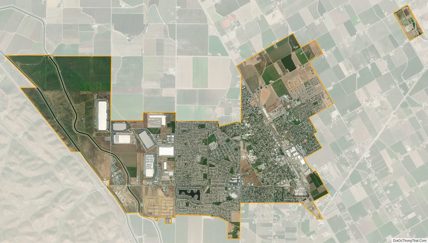
Patterson city Satellite Map
Geography
Patterson is located at 37°28′23″N 121°7′58″W / 37.47306°N 121.13278°W / 37.47306; -121.13278 (37.472984, -121.132867).
According to the United States Census Bureau, the city has a total area of 6.0 square miles (16 km), all of it land. The city is located 17 miles (27 km) southwest of Modesto, and 78 miles (126 km) southeast of Oakland.
See also
Map of California State and its subdivision:- Alameda
- Alpine
- Amador
- Butte
- Calaveras
- Colusa
- Contra Costa
- Del Norte
- El Dorado
- Fresno
- Glenn
- Humboldt
- Imperial
- Inyo
- Kern
- Kings
- Lake
- Lassen
- Los Angeles
- Madera
- Marin
- Mariposa
- Mendocino
- Merced
- Modoc
- Mono
- Monterey
- Napa
- Nevada
- Orange
- Placer
- Plumas
- Riverside
- Sacramento
- San Benito
- San Bernardino
- San Diego
- San Francisco
- San Joaquin
- San Luis Obispo
- San Mateo
- Santa Barbara
- Santa Clara
- Santa Cruz
- Shasta
- Sierra
- Siskiyou
- Solano
- Sonoma
- Stanislaus
- Sutter
- Tehama
- Trinity
- Tulare
- Tuolumne
- Ventura
- Yolo
- Yuba
- Alabama
- Alaska
- Arizona
- Arkansas
- California
- Colorado
- Connecticut
- Delaware
- District of Columbia
- Florida
- Georgia
- Hawaii
- Idaho
- Illinois
- Indiana
- Iowa
- Kansas
- Kentucky
- Louisiana
- Maine
- Maryland
- Massachusetts
- Michigan
- Minnesota
- Mississippi
- Missouri
- Montana
- Nebraska
- Nevada
- New Hampshire
- New Jersey
- New Mexico
- New York
- North Carolina
- North Dakota
- Ohio
- Oklahoma
- Oregon
- Pennsylvania
- Rhode Island
- South Carolina
- South Dakota
- Tennessee
- Texas
- Utah
- Vermont
- Virginia
- Washington
- West Virginia
- Wisconsin
- Wyoming