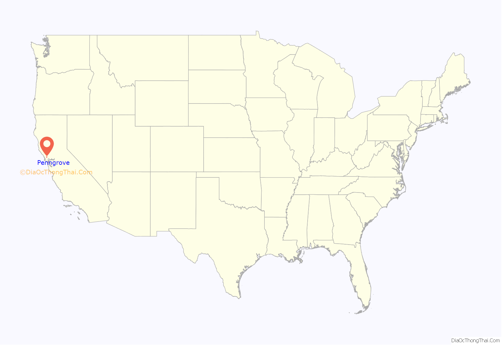
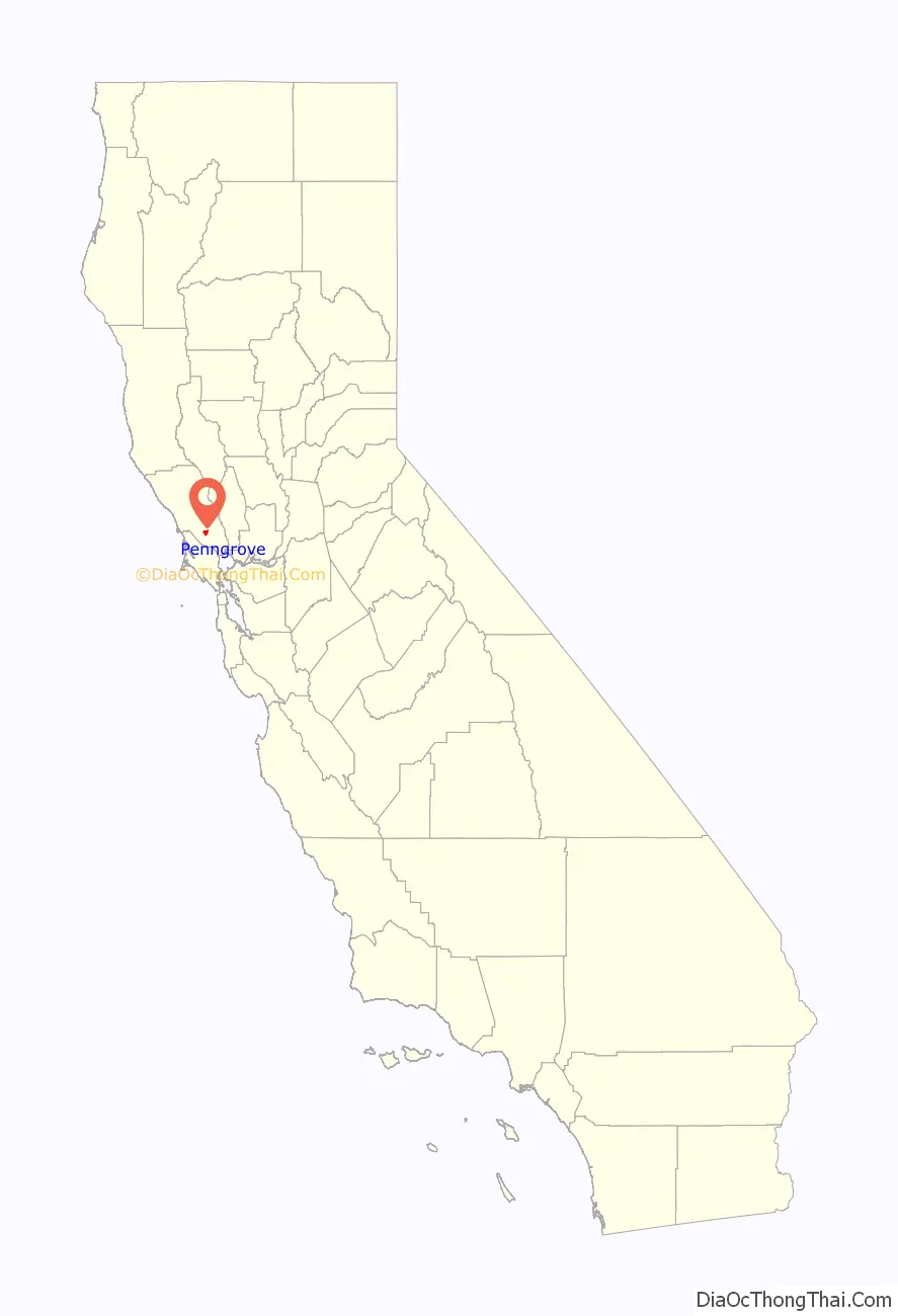
Penngrove is a census-designated place (CDP) in Sonoma County, California, United States, situated between the cities of Petaluma and Cotati, at the foot of the western flank of Sonoma Mountain. It is part of the North Bay subregion of the San Francisco Bay Area. The population was 2,522 at the 2010 census.
The area is the site of a historic grove called Penn’s Grove; it was formerly a freight station on the Northwestern Pacific Railroad and a center of egg and chicken farming.
| Name: | Penngrove CDP |
|---|---|
| LSAD Code: | 57 |
| LSAD Description: | CDP (suffix) |
| State: | California |
| County: | Sonoma County |
| Elevation: | 85 ft (26 m) |
| Total Area: | 4.024 sq mi (10.423 km²) |
| Land Area: | 4.024 sq mi (10.423 km²) |
| Water Area: | 0 sq mi (0 km²) 0% |
| Total Population: | 2,522 |
| Population Density: | 630/sq mi (240/km²) |
| ZIP code: | 94951 |
| Area code: | 707 |
| FIPS code: | 0656476 |
Online Interactive Map
Click on ![]() to view map in "full screen" mode.
to view map in "full screen" mode.
Penngrove location map. Where is Penngrove CDP?
History
The Mexican government granted Rancho Cotate to Captain Juan Castaneda in July 1844 for his military services in the region. The grant encompassed present-day Penngrove, Cotati and Rohnert Park. Cotate Rancho is a part of Vallejo Township which encompasses the plain between Sonoma Mountain and Petaluma Creek, San Pablo Bay, with an east–west line dividing the tract from Santa Rosa Township.”
Rancho Cotate was sold in 1849 to Dr. Thomas S. Page of Cotati, and eventually broken up and sold off piecemeal to incoming settlers.
The first European settlers in the Penngrove area were David Wharff, W.J. Hardin, and J.M. Palmer, who arrived in 1852.
In October 1870, the San Francisco and North Pacific Railroad completed the first railroad from Petaluma to Santa Rosa, running through Penngrove.
Penngrove Road Map
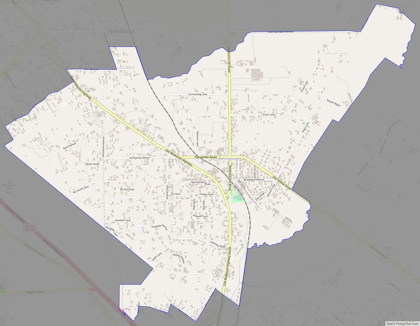
Penngrove city Satellite Map

Geography
Penngrove’s downtown consists of Main Street, a 0.3-mile (0.48 km) street linking Old Redwood Highway to Adobe Road. Penngrove School is located at the corner of Adobe Road, where Main Street becomes Petaluma Hill Road.
Lichau Creek flows southward through the town, paralleling the railway. The creek feeds into the Petaluma River, which flows to San Pablo Bay.
Due to the Sonoma Mountain’s ancient volcanism, Penngrove is rich with obsidian and petrified wood. Its soil is unique, composed mainly of clay-like adobe, which has been used for centuries as building material. A prime example of adobe architecture is the Rancho Petaluma Adobe, a State Historic Park in nearby Petaluma.
Penngrove enjoys a mild Mediterranean climate.
According to the United States Census Bureau, the CDP covers an area of 4 square miles (10.4 km), all of it land.
See also
Map of California State and its subdivision:- Alameda
- Alpine
- Amador
- Butte
- Calaveras
- Colusa
- Contra Costa
- Del Norte
- El Dorado
- Fresno
- Glenn
- Humboldt
- Imperial
- Inyo
- Kern
- Kings
- Lake
- Lassen
- Los Angeles
- Madera
- Marin
- Mariposa
- Mendocino
- Merced
- Modoc
- Mono
- Monterey
- Napa
- Nevada
- Orange
- Placer
- Plumas
- Riverside
- Sacramento
- San Benito
- San Bernardino
- San Diego
- San Francisco
- San Joaquin
- San Luis Obispo
- San Mateo
- Santa Barbara
- Santa Clara
- Santa Cruz
- Shasta
- Sierra
- Siskiyou
- Solano
- Sonoma
- Stanislaus
- Sutter
- Tehama
- Trinity
- Tulare
- Tuolumne
- Ventura
- Yolo
- Yuba
- Alabama
- Alaska
- Arizona
- Arkansas
- California
- Colorado
- Connecticut
- Delaware
- District of Columbia
- Florida
- Georgia
- Hawaii
- Idaho
- Illinois
- Indiana
- Iowa
- Kansas
- Kentucky
- Louisiana
- Maine
- Maryland
- Massachusetts
- Michigan
- Minnesota
- Mississippi
- Missouri
- Montana
- Nebraska
- Nevada
- New Hampshire
- New Jersey
- New Mexico
- New York
- North Carolina
- North Dakota
- Ohio
- Oklahoma
- Oregon
- Pennsylvania
- Rhode Island
- South Carolina
- South Dakota
- Tennessee
- Texas
- Utah
- Vermont
- Virginia
- Washington
- West Virginia
- Wisconsin
- Wyoming


