Phelan is an unincorporated community and census-designated place in San Bernardino County, California, in the Victor Valley of the Mojave Desert, north of the San Gabriel Mountains. The population was 14,304 in the 2010 census.
| Name: | Phelan CDP |
|---|---|
| LSAD Code: | 57 |
| LSAD Description: | CDP (suffix) |
| State: | California |
| County: | San Bernardino County |
| Elevation: | 3,993 ft (1,217 m) |
| Total Area: | 60.097 sq mi (155.651 km²) |
| Land Area: | 60.097 sq mi (155.651 km²) |
| Water Area: | 0 sq mi (0 km²) 0% |
| Total Population: | 14,304 |
| Population Density: | 240/sq mi (92/km²) |
| ZIP code: | 92329, 92371 |
| FIPS code: | 0656826 |
| GNISfeature ID: | 2627935 |
Online Interactive Map
Click on ![]() to view map in "full screen" mode.
to view map in "full screen" mode.
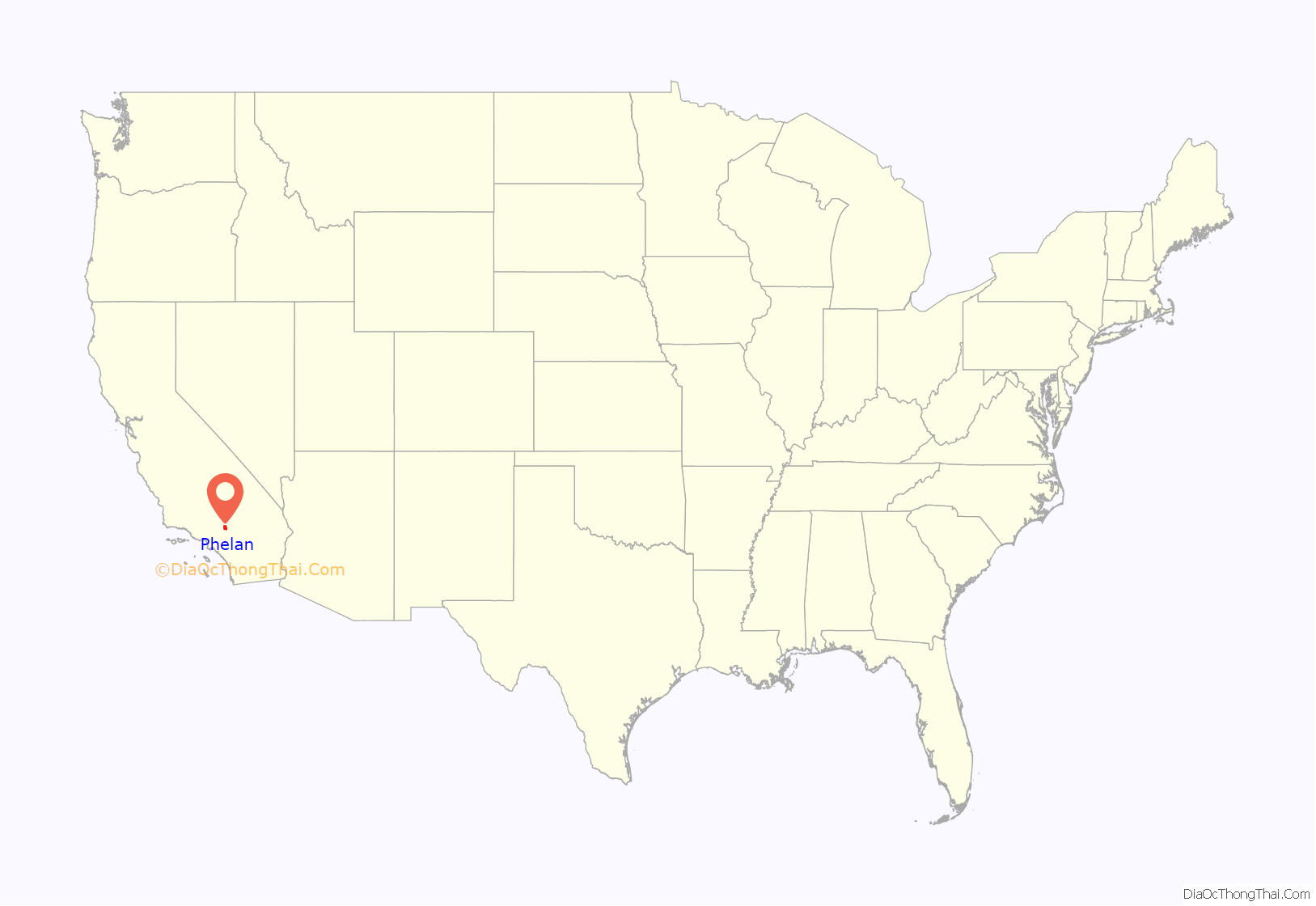
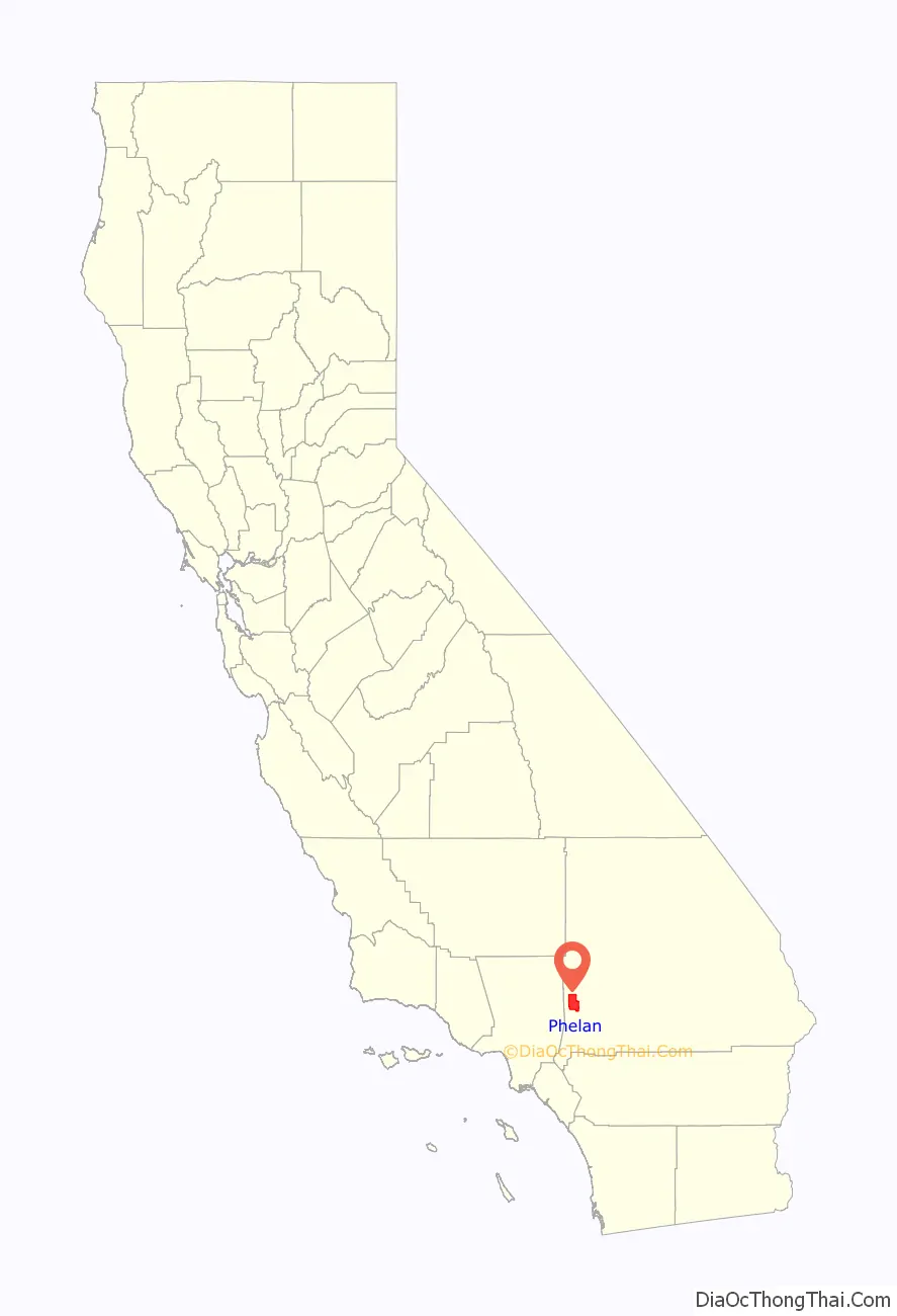
Phelan location map. Where is Phelan CDP?
History
Origin
Phelan’s history dates back to the days of the Mormon Trail, when settlers passed through the area on their way to San Bernardino and points beyond. Phelan was named after Senator James D. Phelan and his brother, John Thomas (J.T) Phelan.
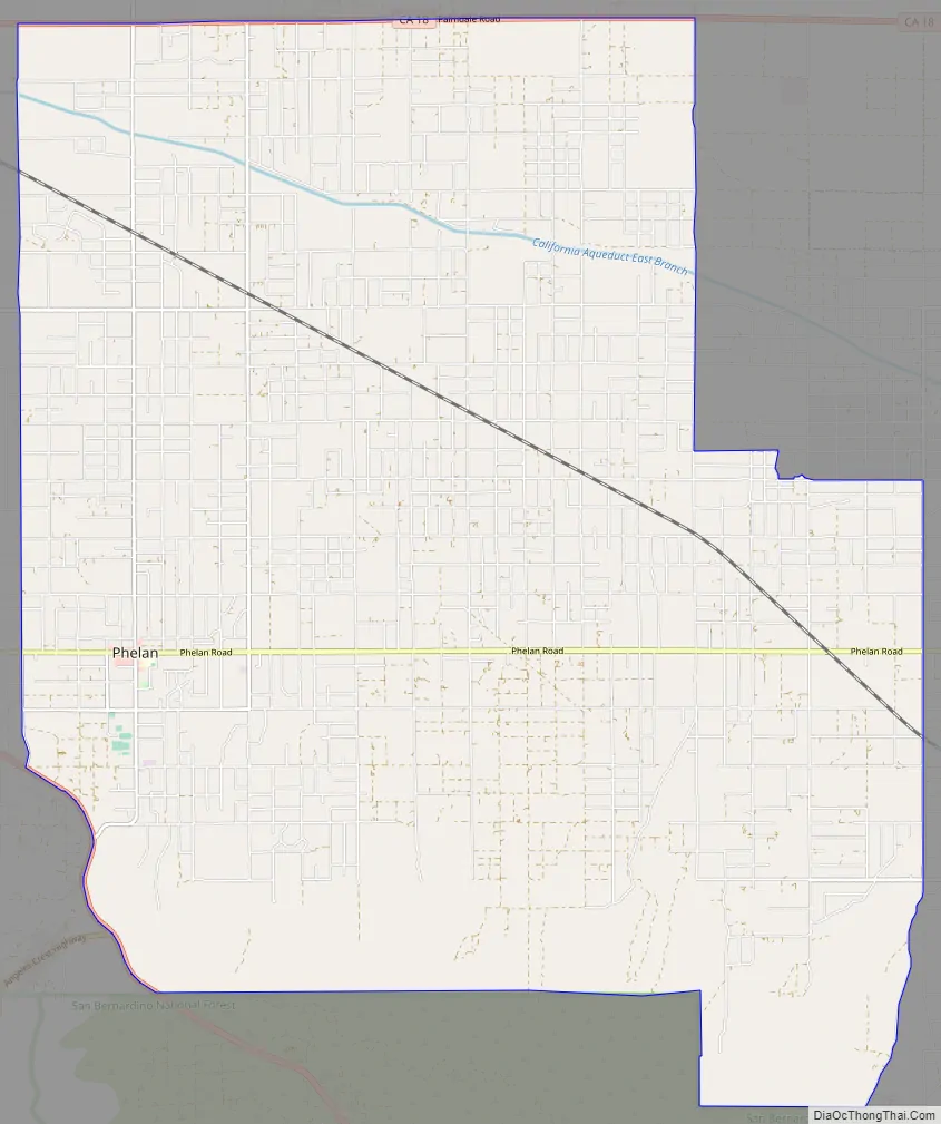
Phelan Road Map
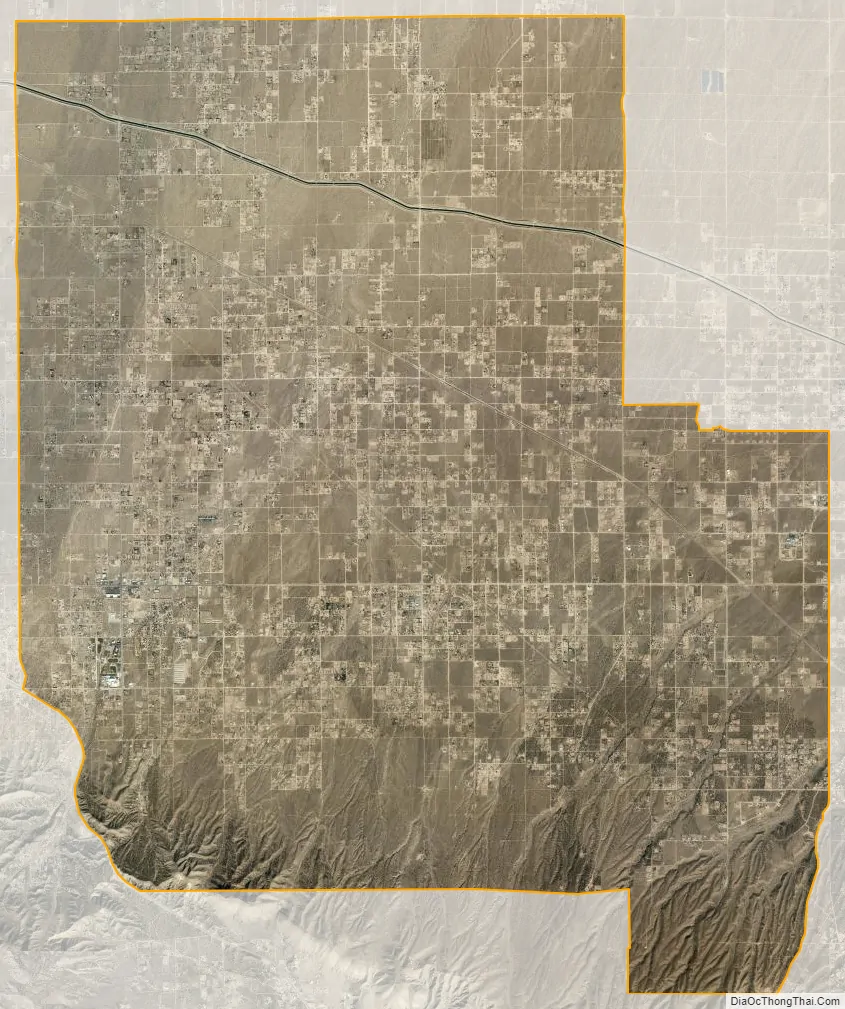
Phelan city Satellite Map
Geography
Situated south of State Route 18 and northeast of State Route 138, the town is 30 miles (48 km) east of Palmdale and 18 miles (29 km) west of Victorville. The area around it is nearly flat desert country dotted with joshua trees and heavy brush.
Southwestern areas of Phelan are in the foothills of the San Gabriel Mountains, reaching elevations of more than 4,900 feet above sea level. The California Aqueduct runs through the northern half of the town, eleven miles (18 km) from State Route 18 and ten miles (16 km) from Phelan Road. Covering more than 60 square miles, Phelan has an elevation that varies from 3,293 to 4,910 feet (1,004 to 1,497 m) above sea level. The town center is at the corner of Phelan and Sheep Creek roads. Most businesses are situated in strip malls dotted along the sides of Phelan Road.
In 2001, according to a feature in the Los Angeles Times, the town was a “wind-swept, tiny unincorporated town nestled in the shadow of a mountain ski resort, just above the vast expanse that is the Mojave Desert. … There are no shopping malls here, and the closest movie theater is in Victorville, about 15 miles away.” Another Times feature said in 1990:
Phelan, along with Victorville, Hesperia, Apple Valley, and several other towns, is considered part of a region known as the High Desert.
According to the United States Census Bureau, the CDP covers an area of 60.1 square miles (155.7 km), all of it land.
See also
Map of California State and its subdivision:- Alameda
- Alpine
- Amador
- Butte
- Calaveras
- Colusa
- Contra Costa
- Del Norte
- El Dorado
- Fresno
- Glenn
- Humboldt
- Imperial
- Inyo
- Kern
- Kings
- Lake
- Lassen
- Los Angeles
- Madera
- Marin
- Mariposa
- Mendocino
- Merced
- Modoc
- Mono
- Monterey
- Napa
- Nevada
- Orange
- Placer
- Plumas
- Riverside
- Sacramento
- San Benito
- San Bernardino
- San Diego
- San Francisco
- San Joaquin
- San Luis Obispo
- San Mateo
- Santa Barbara
- Santa Clara
- Santa Cruz
- Shasta
- Sierra
- Siskiyou
- Solano
- Sonoma
- Stanislaus
- Sutter
- Tehama
- Trinity
- Tulare
- Tuolumne
- Ventura
- Yolo
- Yuba
- Alabama
- Alaska
- Arizona
- Arkansas
- California
- Colorado
- Connecticut
- Delaware
- District of Columbia
- Florida
- Georgia
- Hawaii
- Idaho
- Illinois
- Indiana
- Iowa
- Kansas
- Kentucky
- Louisiana
- Maine
- Maryland
- Massachusetts
- Michigan
- Minnesota
- Mississippi
- Missouri
- Montana
- Nebraska
- Nevada
- New Hampshire
- New Jersey
- New Mexico
- New York
- North Carolina
- North Dakota
- Ohio
- Oklahoma
- Oregon
- Pennsylvania
- Rhode Island
- South Carolina
- South Dakota
- Tennessee
- Texas
- Utah
- Vermont
- Virginia
- Washington
- West Virginia
- Wisconsin
- Wyoming


