Piñon Hills (from piñón, Spanish for ‘pine nut’) is a census-designated place in San Bernardino County, California, near the Los Angeles County line. It is located along Pearblossom Highway, 28 miles east of Palmdale, and 15 miles west of the Cajon Pass where Pearblossom Highway meets Interstate 15. The town lies within 25 miles of Hesperia and Victorville. Piñon Hills is in a tri-community that consists of Piñon Hills, Phelan, and Wrightwood. The elevation is 4,173 feet (1,272 m). The population was 7,272 at the 2010 census.
| Name: | Piñon Hills CDP |
|---|---|
| LSAD Code: | 57 |
| LSAD Description: | CDP (suffix) |
| State: | California |
| County: | San Bernardino County |
| Elevation: | 4,173 ft (1,272 m) |
| Total Area: | 32.118 sq mi (83.185 km²) |
| Land Area: | 32.115 sq mi (83.178 km²) |
| Water Area: | 0.003 sq mi (0.008 km²) 0.01% |
| Total Population: | 7,272 |
| Population Density: | 230/sq mi (87/km²) |
| ZIP code: | 92372 |
| FIPS code: | 0657302 |
| GNISfeature ID: | 2627936 |
Online Interactive Map
Click on ![]() to view map in "full screen" mode.
to view map in "full screen" mode.
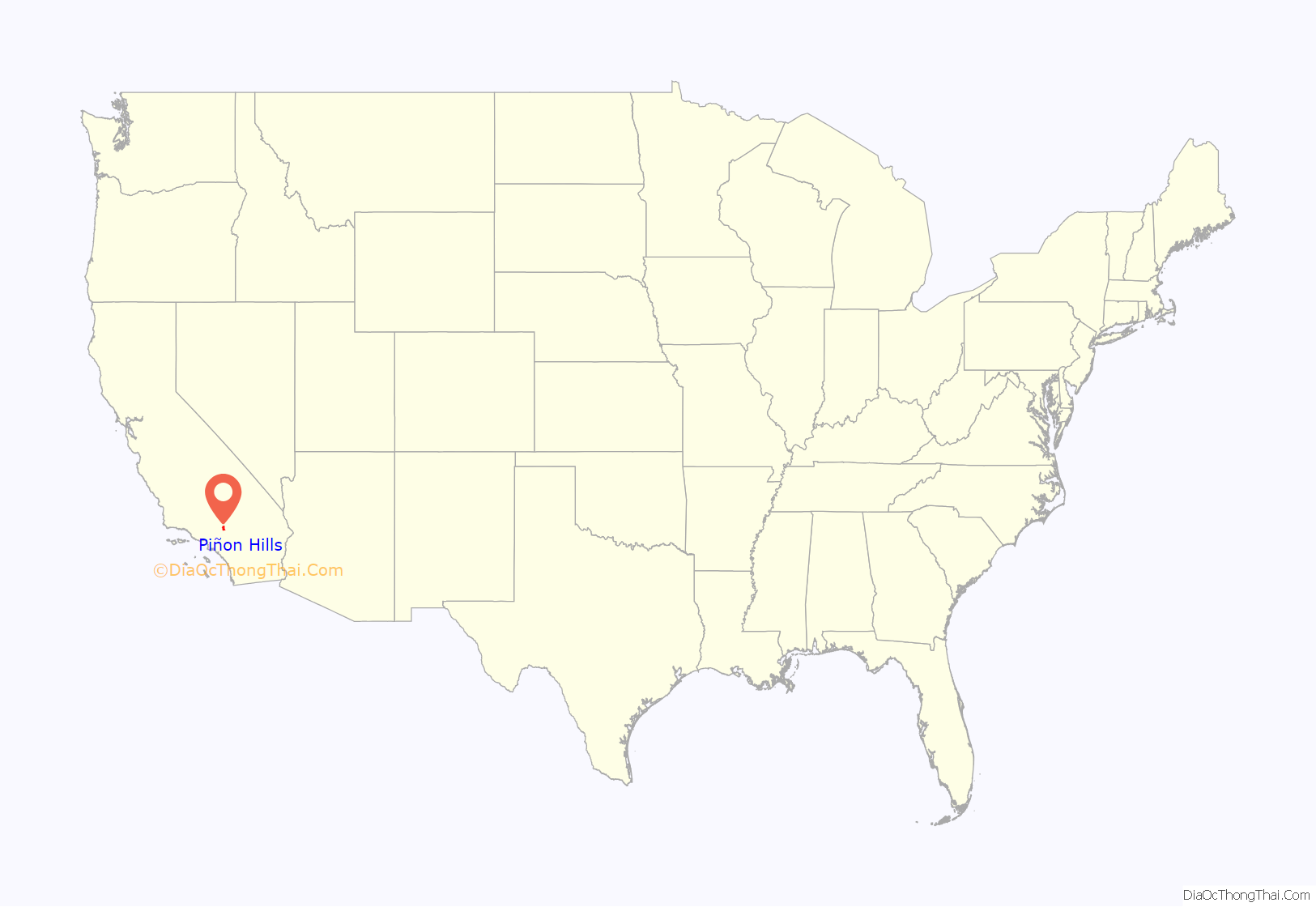
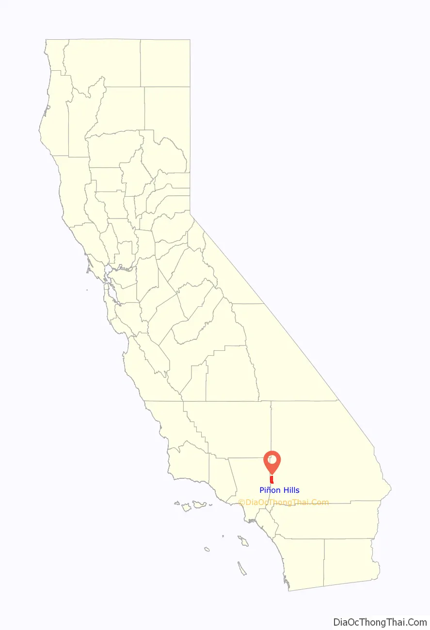
Piñon Hills location map. Where is Piñon Hills CDP?
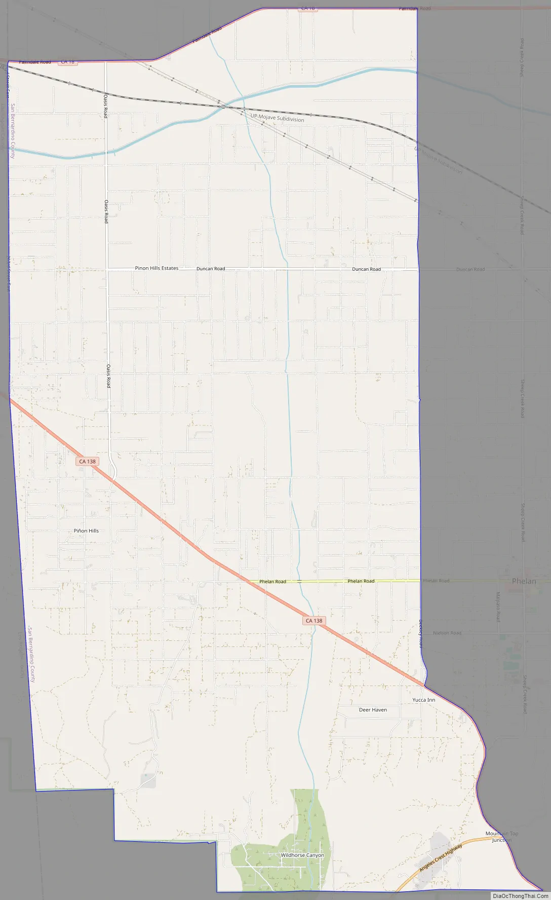
Piñon Hills Road Map
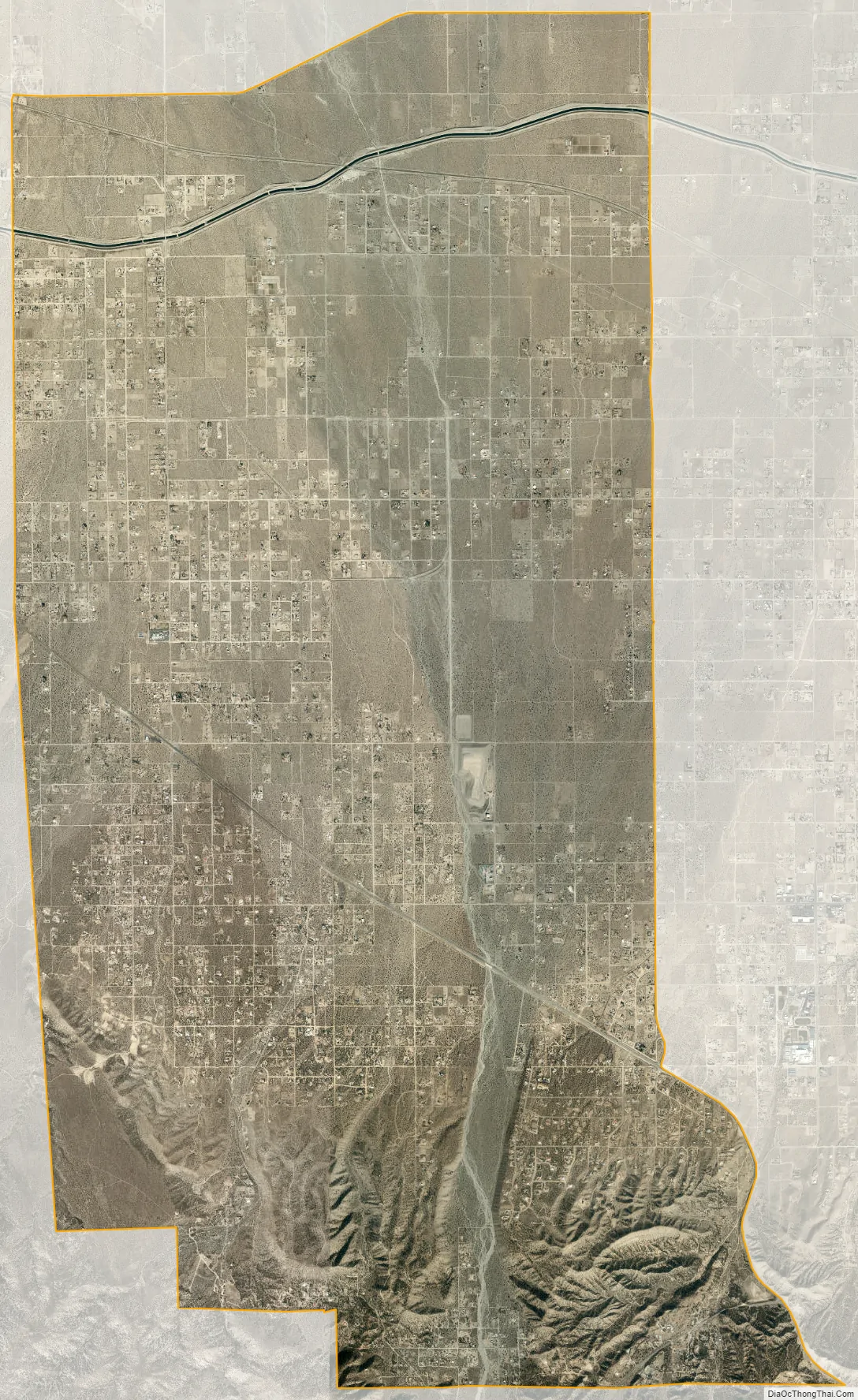
Piñon Hills city Satellite Map
Geography
According to the United States Census Bureau, the CDP covers an area of 32.1 square miles (83.2 km), 99.99% of it land, and 0.01% of it water.
See also
Map of California State and its subdivision:- Alameda
- Alpine
- Amador
- Butte
- Calaveras
- Colusa
- Contra Costa
- Del Norte
- El Dorado
- Fresno
- Glenn
- Humboldt
- Imperial
- Inyo
- Kern
- Kings
- Lake
- Lassen
- Los Angeles
- Madera
- Marin
- Mariposa
- Mendocino
- Merced
- Modoc
- Mono
- Monterey
- Napa
- Nevada
- Orange
- Placer
- Plumas
- Riverside
- Sacramento
- San Benito
- San Bernardino
- San Diego
- San Francisco
- San Joaquin
- San Luis Obispo
- San Mateo
- Santa Barbara
- Santa Clara
- Santa Cruz
- Shasta
- Sierra
- Siskiyou
- Solano
- Sonoma
- Stanislaus
- Sutter
- Tehama
- Trinity
- Tulare
- Tuolumne
- Ventura
- Yolo
- Yuba
- Alabama
- Alaska
- Arizona
- Arkansas
- California
- Colorado
- Connecticut
- Delaware
- District of Columbia
- Florida
- Georgia
- Hawaii
- Idaho
- Illinois
- Indiana
- Iowa
- Kansas
- Kentucky
- Louisiana
- Maine
- Maryland
- Massachusetts
- Michigan
- Minnesota
- Mississippi
- Missouri
- Montana
- Nebraska
- Nevada
- New Hampshire
- New Jersey
- New Mexico
- New York
- North Carolina
- North Dakota
- Ohio
- Oklahoma
- Oregon
- Pennsylvania
- Rhode Island
- South Carolina
- South Dakota
- Tennessee
- Texas
- Utah
- Vermont
- Virginia
- Washington
- West Virginia
- Wisconsin
- Wyoming


