Planada (Spanish for “Plain”) is a census-designated place (CDP) in Merced County, California, United States. Planada is 9 miles (14 km) east of Merced, the county seat, at an elevation of 226 feet (69 m). The population was 4,164 at the 2020 census, down from 4,584 at the 2010 census.
| Name: | Planada CDP |
|---|---|
| LSAD Code: | 57 |
| LSAD Description: | CDP (suffix) |
| State: | California |
| County: | Merced County |
| Elevation: | 226 ft (69 m) |
| Total Area: | 1.742 sq mi (4.512 km²) |
| Land Area: | 1.742 sq mi (4.512 km²) |
| Water Area: | 0 sq mi (0 km²) 0% |
| Total Population: | 4,164 |
| Population Density: | 2,400/sq mi (920/km²) |
| ZIP code: | 95365 |
| Area code: | 209 |
| FIPS code: | 0657582 |
| GNISfeature ID: | 1659784 |
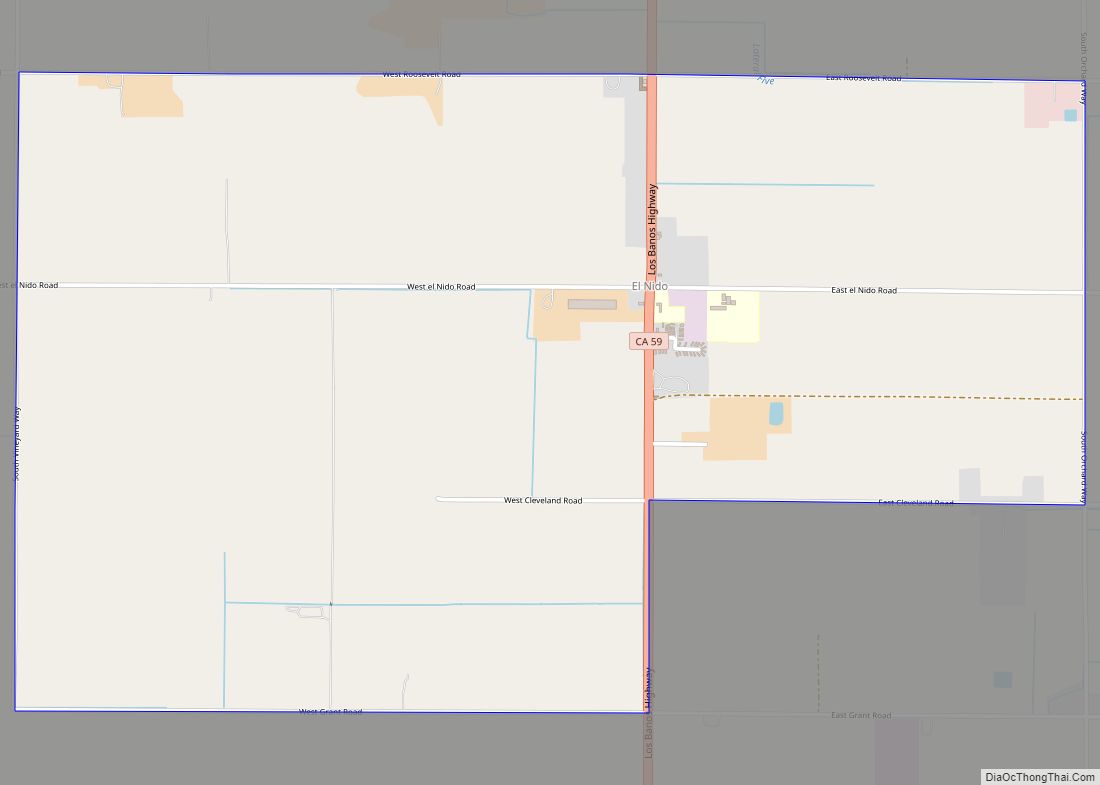
Online Interactive Map
Click on ![]() to view map in "full screen" mode.
to view map in "full screen" mode.
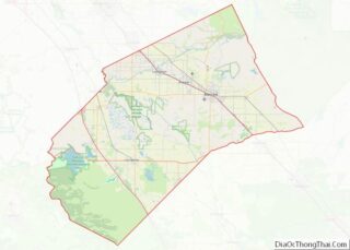
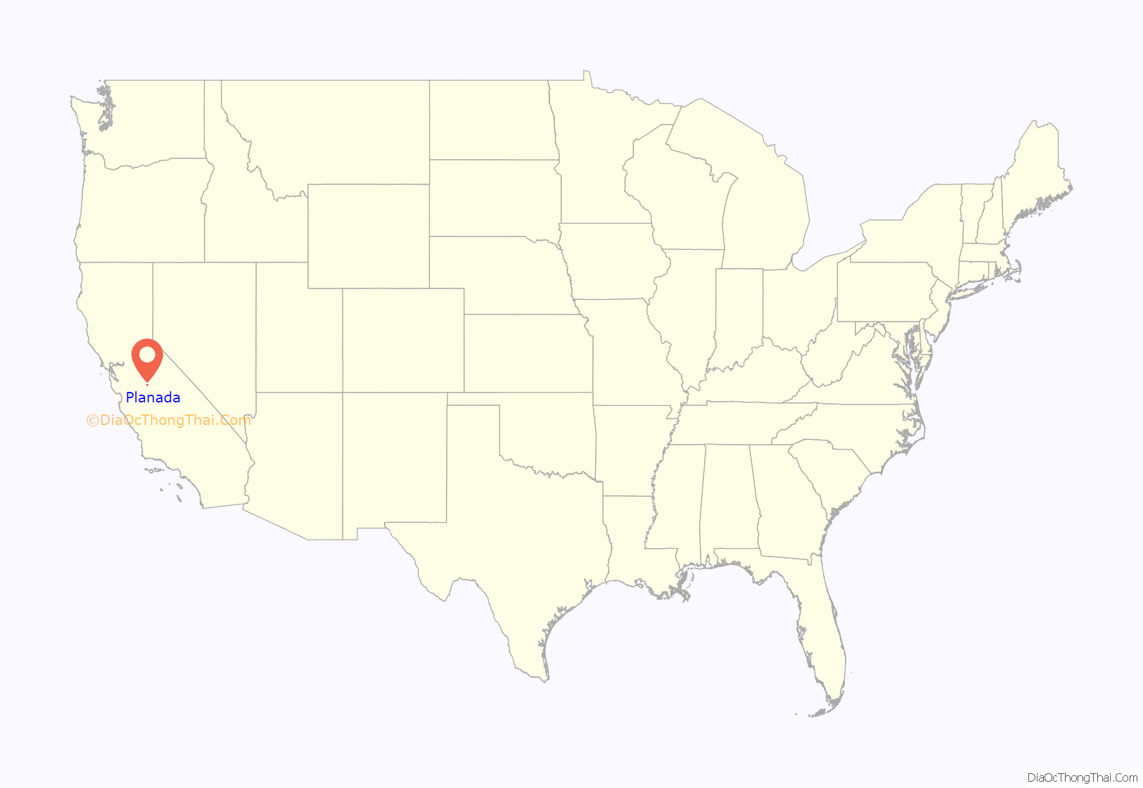
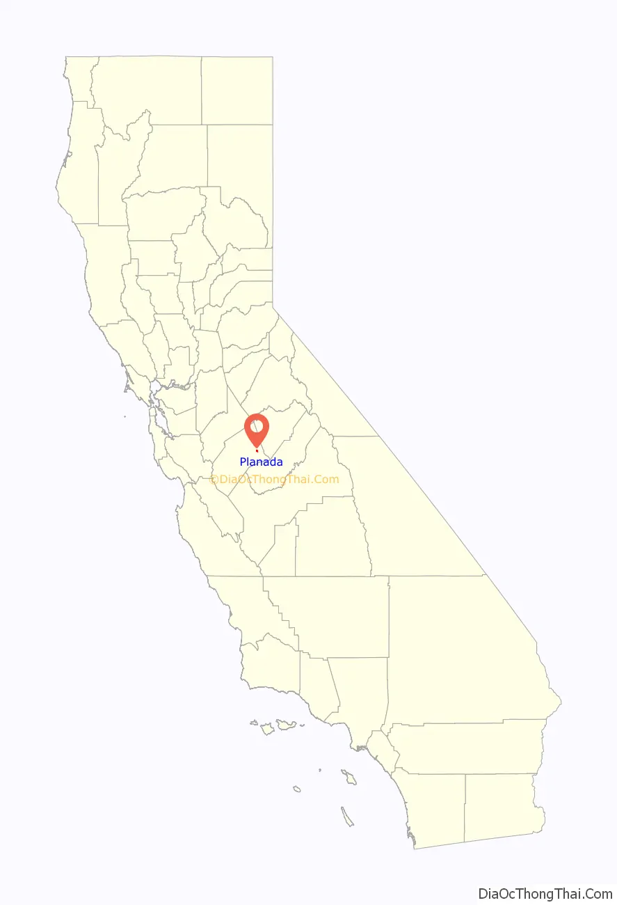
Planada location map. Where is Planada CDP?
History
Planada was originally named Whitton by railroad officials. The area’s first white settlers were a group of Swiss dairy farmers, who renamed the settlement Geneva. The Geneva post office opened in 1896, closed in 1897, then reopened in 1898. In 1911, it held a contest to select a new name for the town, and Planada was the winning entry. The San Francisco and San Joaquin Valley Railroad (built in the late 1890s) had a “Geneva” station which became the “Planada” station.
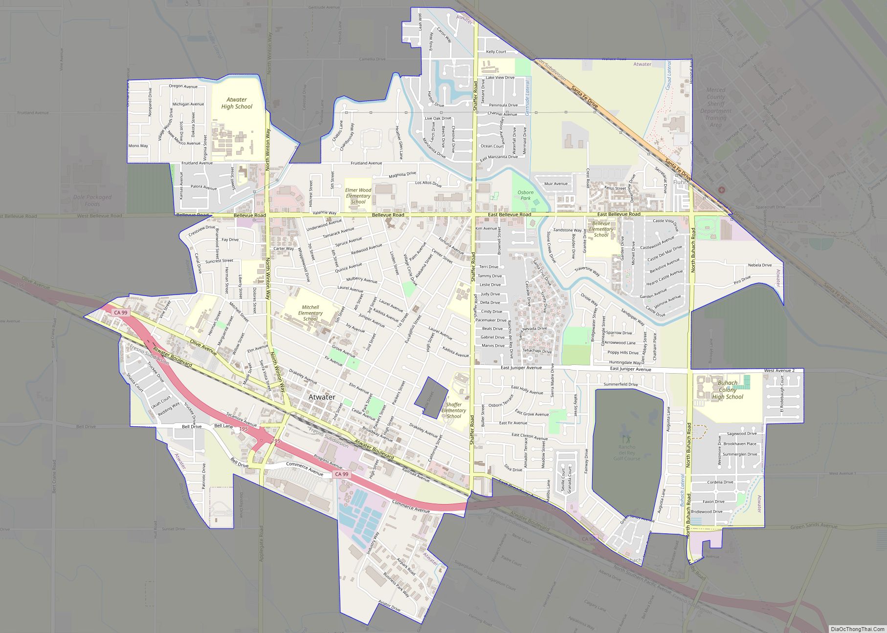
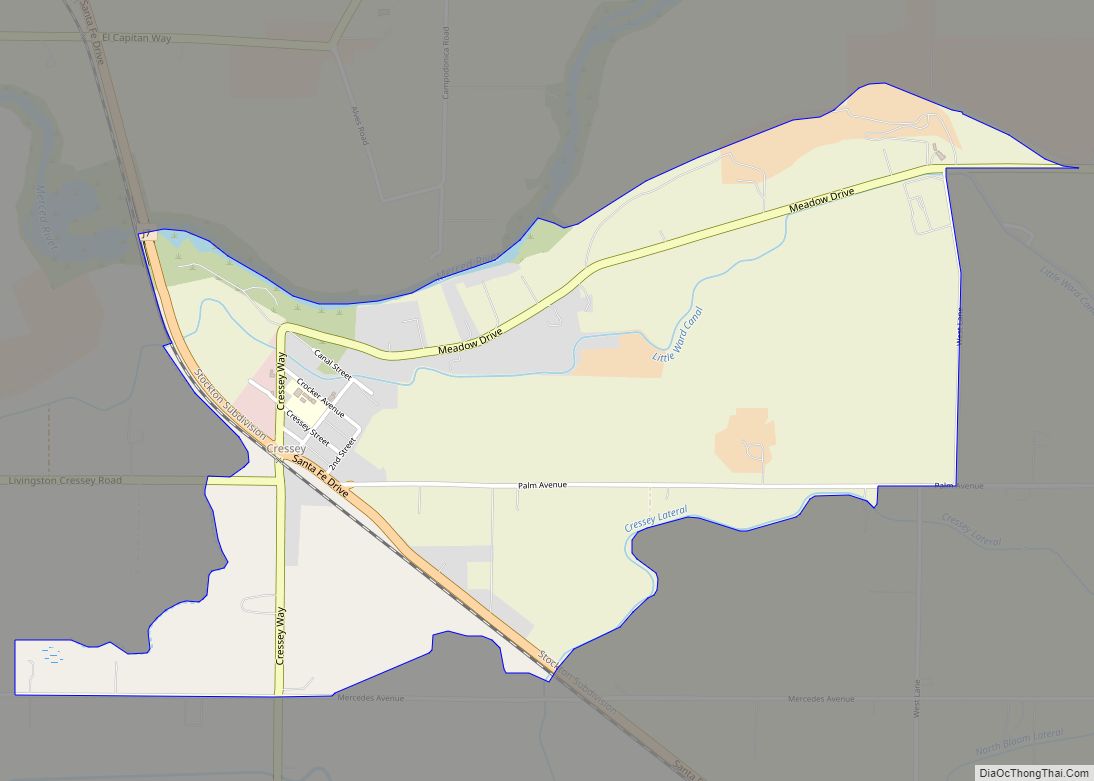
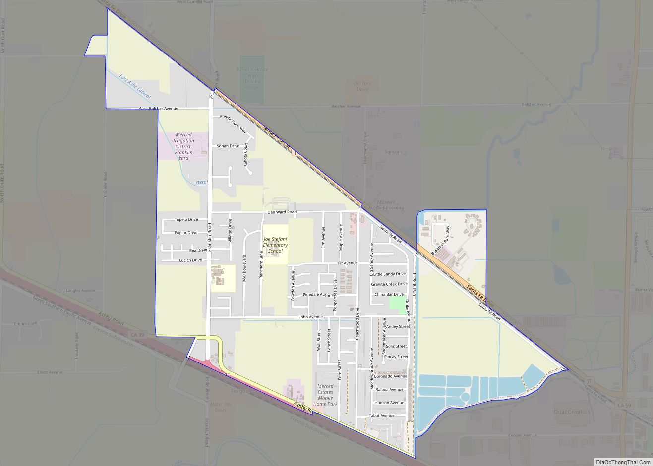
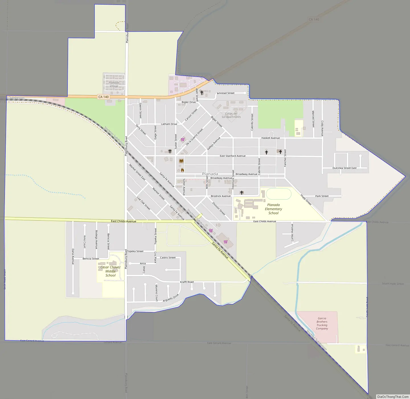
Planada Road Map
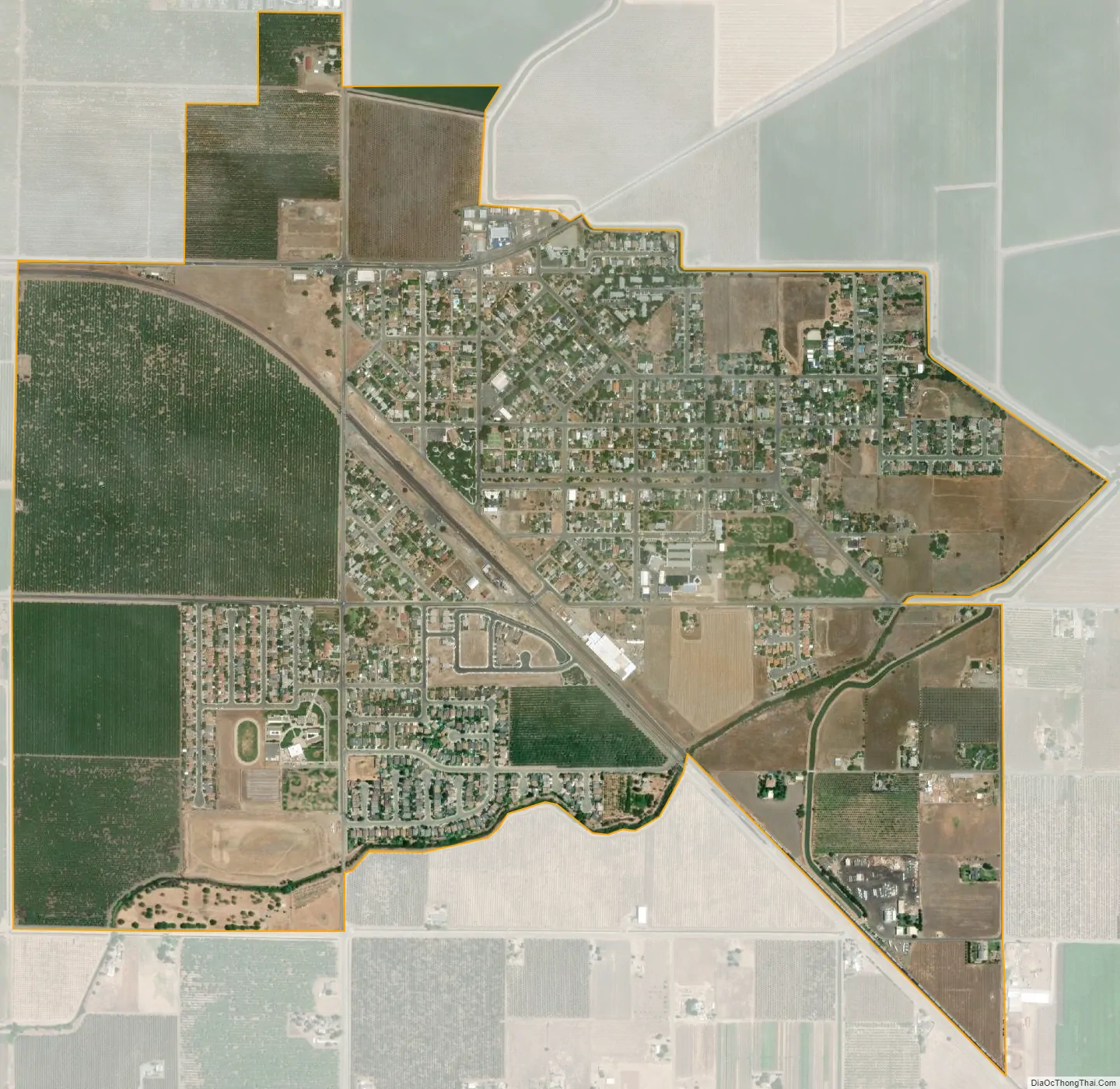
Planada city Satellite Map
Geography
Planada is located in eastern Merced County at 37°17′N 120°19′W / 37.283°N 120.317°W / 37.283; -120.317, in California’s Central Valley. California State Route 140 passes through the community, leading west 9 miles (14 km) to Merced and northeast 28 miles (45 km) to Mariposa in the foothills of the Sierra Nevada.
According to the United States Census Bureau, the Planada CDP has a total area of 1.7 square miles (4.4 km), all of it land.
Climate
According to the Köppen Climate Classification system, Planada has a warm-summer Mediterranean climate, abbreviated “Csa” on climate maps.
See also
Map of California State and its subdivision:- Alameda
- Alpine
- Amador
- Butte
- Calaveras
- Colusa
- Contra Costa
- Del Norte
- El Dorado
- Fresno
- Glenn
- Humboldt
- Imperial
- Inyo
- Kern
- Kings
- Lake
- Lassen
- Los Angeles
- Madera
- Marin
- Mariposa
- Mendocino
- Merced
- Modoc
- Mono
- Monterey
- Napa
- Nevada
- Orange
- Placer
- Plumas
- Riverside
- Sacramento
- San Benito
- San Bernardino
- San Diego
- San Francisco
- San Joaquin
- San Luis Obispo
- San Mateo
- Santa Barbara
- Santa Clara
- Santa Cruz
- Shasta
- Sierra
- Siskiyou
- Solano
- Sonoma
- Stanislaus
- Sutter
- Tehama
- Trinity
- Tulare
- Tuolumne
- Ventura
- Yolo
- Yuba
- Alabama
- Alaska
- Arizona
- Arkansas
- California
- Colorado
- Connecticut
- Delaware
- District of Columbia
- Florida
- Georgia
- Hawaii
- Idaho
- Illinois
- Indiana
- Iowa
- Kansas
- Kentucky
- Louisiana
- Maine
- Maryland
- Massachusetts
- Michigan
- Minnesota
- Mississippi
- Missouri
- Montana
- Nebraska
- Nevada
- New Hampshire
- New Jersey
- New Mexico
- New York
- North Carolina
- North Dakota
- Ohio
- Oklahoma
- Oregon
- Pennsylvania
- Rhode Island
- South Carolina
- South Dakota
- Tennessee
- Texas
- Utah
- Vermont
- Virginia
- Washington
- West Virginia
- Wisconsin
- Wyoming