Running Springs is a census-designated place (CDP) in San Bernardino County, California, United States. The population was 5,268 at the 2020 census, up from 4,862 at the 2010 census. Running Springs is situated 17 miles west of the city of Big Bear Lake.
Running Springs is home to the 3,400-acre National Children’s Forest, which offers interpretive programs, educational tours and more. Snow Valley Mountain Resort was established here in the 1920s and was the first ski resort in the San Bernardino Mountains.
| Name: | Running Springs CDP |
|---|---|
| LSAD Code: | 57 |
| LSAD Description: | CDP (suffix) |
| State: | California |
| County: | San Bernardino County |
| Elevation: | 6,109 ft (1,862 m) |
| Total Area: | 4.213 sq mi (10.912 km²) |
| Land Area: | 4.204 sq mi (10.889 km²) |
| Water Area: | 0.009 sq mi (0.023 km²) 0.21% |
| Total Population: | 5,268 |
| Population Density: | 1,253.1/sq mi (483.8/km²) |
| ZIP code: | 92382 |
| Area code: | 909 |
| FIPS code: | 0663316 |
| GNISfeature ID: | 1661346 |
Online Interactive Map
Click on ![]() to view map in "full screen" mode.
to view map in "full screen" mode.
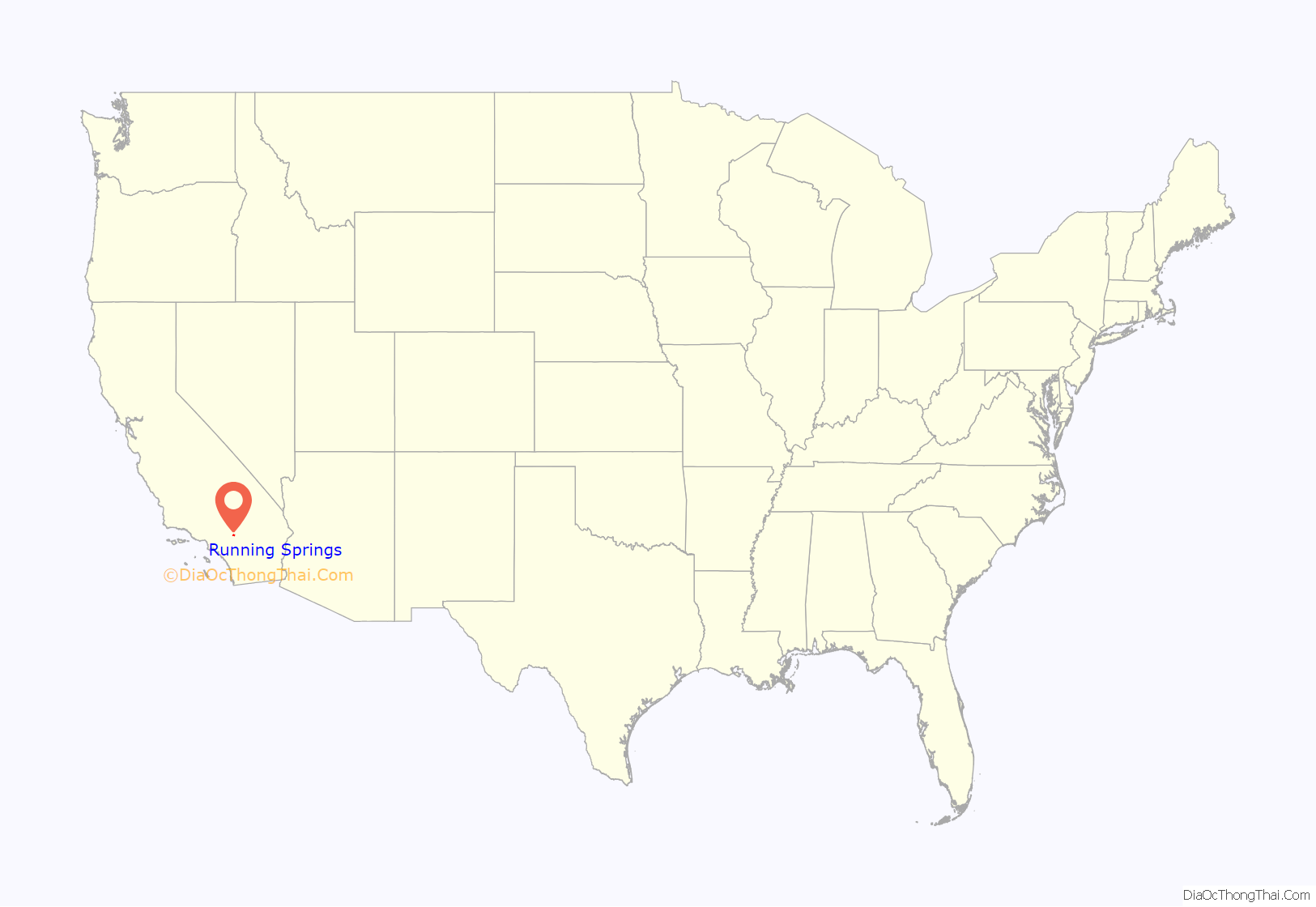
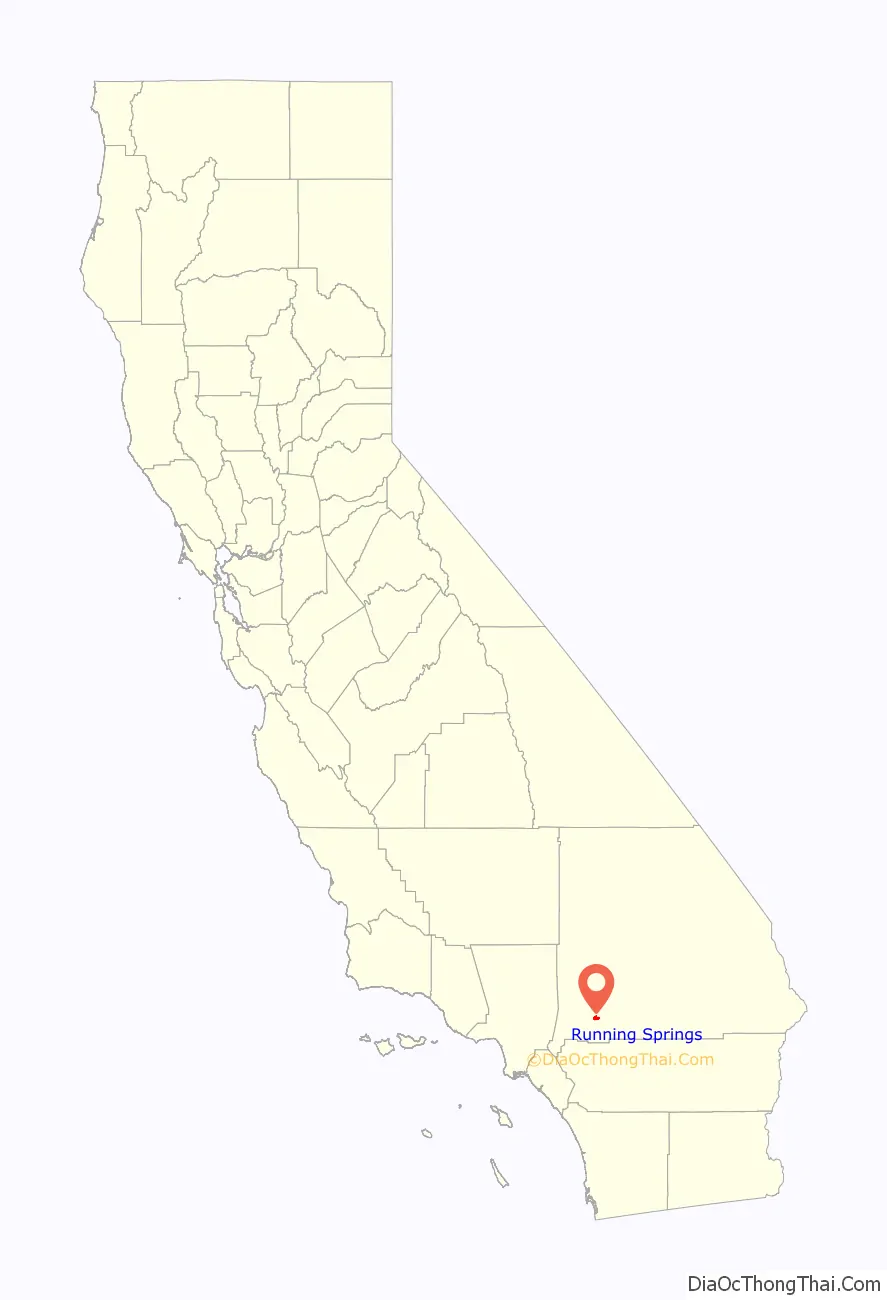
Running Springs location map. Where is Running Springs CDP?
History
The first people to settle here were the Serrano people (“mountain people”). They got their name from Spanish priest Father Garces in 1776, but called themselves Yuhaviatam (“people of the pines”). Numerous mortar holes can be seen throughout the area, made by the Serranos grinding acorns into meal. Native Americans settled here due to the rich natural resources. They gathered acorns and herbs, also hunting deer, rabbits and other wildlife.
Running Springs was originally known as Hunsaker Flats, named for Abraham Hunsaker, an early member of a Mormon Battalion. The area was developed after improvements to the state highways in the 1920s.
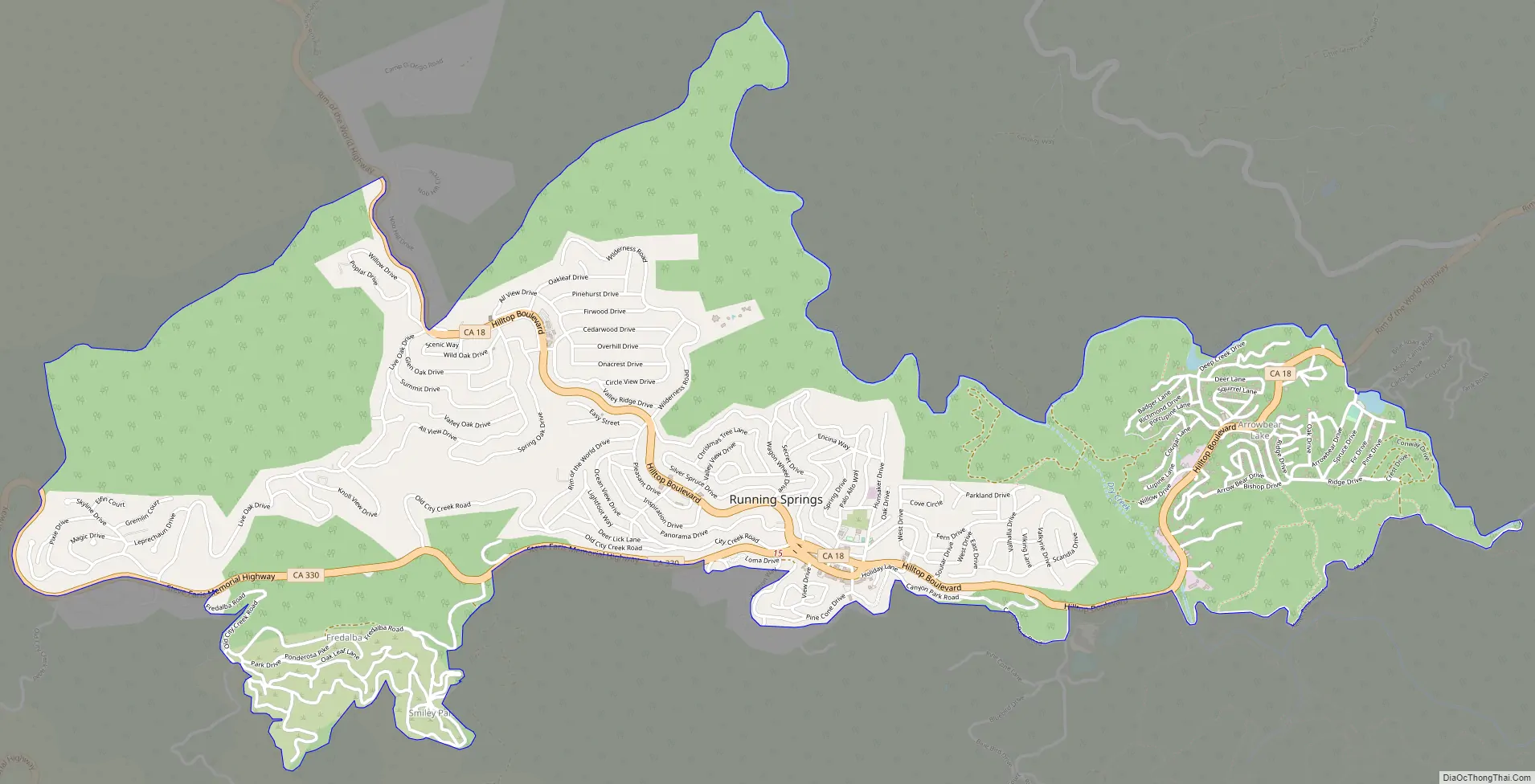
Running Springs Road Map
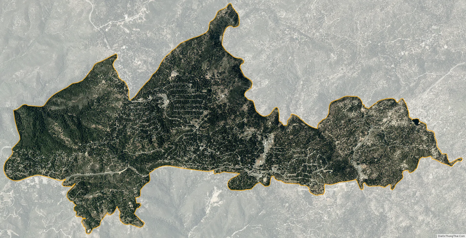
Running Springs city Satellite Map
Geography
Running Springs is located at 34°12′28″N 117°6′30″W / 34.20778°N 117.10833°W / 34.20778; -117.10833 (34.207739, -117.108285).
According to the United States Census Bureau, the CDP has a total area of 4.2 square miles (10.9 km), 99.79% of it is land and 0.21% is water.
See also
Map of California State and its subdivision:- Alameda
- Alpine
- Amador
- Butte
- Calaveras
- Colusa
- Contra Costa
- Del Norte
- El Dorado
- Fresno
- Glenn
- Humboldt
- Imperial
- Inyo
- Kern
- Kings
- Lake
- Lassen
- Los Angeles
- Madera
- Marin
- Mariposa
- Mendocino
- Merced
- Modoc
- Mono
- Monterey
- Napa
- Nevada
- Orange
- Placer
- Plumas
- Riverside
- Sacramento
- San Benito
- San Bernardino
- San Diego
- San Francisco
- San Joaquin
- San Luis Obispo
- San Mateo
- Santa Barbara
- Santa Clara
- Santa Cruz
- Shasta
- Sierra
- Siskiyou
- Solano
- Sonoma
- Stanislaus
- Sutter
- Tehama
- Trinity
- Tulare
- Tuolumne
- Ventura
- Yolo
- Yuba
- Alabama
- Alaska
- Arizona
- Arkansas
- California
- Colorado
- Connecticut
- Delaware
- District of Columbia
- Florida
- Georgia
- Hawaii
- Idaho
- Illinois
- Indiana
- Iowa
- Kansas
- Kentucky
- Louisiana
- Maine
- Maryland
- Massachusetts
- Michigan
- Minnesota
- Mississippi
- Missouri
- Montana
- Nebraska
- Nevada
- New Hampshire
- New Jersey
- New Mexico
- New York
- North Carolina
- North Dakota
- Ohio
- Oklahoma
- Oregon
- Pennsylvania
- Rhode Island
- South Carolina
- South Dakota
- Tennessee
- Texas
- Utah
- Vermont
- Virginia
- Washington
- West Virginia
- Wisconsin
- Wyoming


