Soquel (/soʊˈkɛl/; Ohlone: Sokel) is an unincorporated town and census-designated place (CDP) in Santa Cruz County, California, located on the northern coast of Monterey Bay. The population was 9,980 at the 2020 census.
| Name: | Soquel CDP |
|---|---|
| LSAD Code: | 57 |
| LSAD Description: | CDP (suffix) |
| State: | California |
| County: | Santa Cruz County |
| Elevation: | 33 ft (10 m) |
| Total Area: | 4.598 sq mi (11.909 km²) |
| Land Area: | 4.598 sq mi (11.909 km²) |
| Water Area: | 0 sq mi (0 km²) 0% |
| Total Population: | 9,980 |
| Population Density: | 2,200/sq mi (840/km²) |
| ZIP code: | 95073 |
| Area code: | 831 |
| FIPS code: | 0672688 |
Online Interactive Map
Click on ![]() to view map in "full screen" mode.
to view map in "full screen" mode.
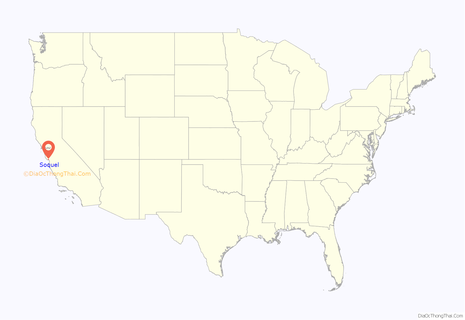
Soquel location map. Where is Soquel CDP?

History
Osocalis was the Spanish phonetic rendering for the name of the creek which runs through the area, as transcribed from the local Native American Indian language of the Ohlone peoples. The later name “Soquel,” which was subsequently derived from the name of that creek, is first known to have appeared in 1833 as the name of the Mexican land grant which included this creek and adjacent lands.
The first European land exploration of Alta California, the Spanish Portolà expedition, passed through the area on its way north, camping at one of the creeks on October 16, 1769. The expedition diaries don’t provide enough information to be sure which creek it was, but the direction of travel was northwest, parallel to the coast. Franciscan missionary Juan Crespi, traveling with the expedition, noted in his diary that, “We stopped on the bank of a small stream, which has about four varas of deep running water. It has on its banks a good growth of cottonwoods and alders; on account of the depth at which it runs it may be that it cannot be utilized to water some plains through which it runs.” Translator Herbert Bolton speculated that the location was Soquel Creek.
Martina Castro was granted Rancho Soquel by Alta California governor José Figueroa in 1833. Martina was one of the daughters of Santa Cruz fundadore José Joaquín Castro, who came as a boy with his family to Alta California from Mexico with the second De Anza expedition in 1775. Several of Martina’s Californio brothers and sisters also became rancheros.
The town of Soquel is notorious for its flooding. The lowlands in and around the Soquel Creek have flooded many times. The most recent flood was in January 1982, and it nearly topped its banks in 1986. Uncleared log jams downstream in the city of Capitola have been blamed for the flooding. Capitola City Planner Richard Steele implemented a debris removal program after the near flooding in 1986.
In 1965, Soquel was the location of the first “Acid Test” party.
Soquel Road Map
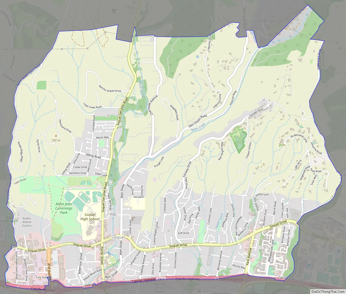
Soquel city Satellite Map

Geography
Soquel is located at 36°59′13″N 121°56′44″W / 36.98694°N 121.94556°W / 36.98694; -121.94556 (36.986991, -121.945636).
According to the United States Census Bureau, the CDP has a total area of 4.6 square miles (11.9 km), all of it land.
Soquel Creek flows through Soquel.
See also
Map of California State and its subdivision:- Alameda
- Alpine
- Amador
- Butte
- Calaveras
- Colusa
- Contra Costa
- Del Norte
- El Dorado
- Fresno
- Glenn
- Humboldt
- Imperial
- Inyo
- Kern
- Kings
- Lake
- Lassen
- Los Angeles
- Madera
- Marin
- Mariposa
- Mendocino
- Merced
- Modoc
- Mono
- Monterey
- Napa
- Nevada
- Orange
- Placer
- Plumas
- Riverside
- Sacramento
- San Benito
- San Bernardino
- San Diego
- San Francisco
- San Joaquin
- San Luis Obispo
- San Mateo
- Santa Barbara
- Santa Clara
- Santa Cruz
- Shasta
- Sierra
- Siskiyou
- Solano
- Sonoma
- Stanislaus
- Sutter
- Tehama
- Trinity
- Tulare
- Tuolumne
- Ventura
- Yolo
- Yuba
- Alabama
- Alaska
- Arizona
- Arkansas
- California
- Colorado
- Connecticut
- Delaware
- District of Columbia
- Florida
- Georgia
- Hawaii
- Idaho
- Illinois
- Indiana
- Iowa
- Kansas
- Kentucky
- Louisiana
- Maine
- Maryland
- Massachusetts
- Michigan
- Minnesota
- Mississippi
- Missouri
- Montana
- Nebraska
- Nevada
- New Hampshire
- New Jersey
- New Mexico
- New York
- North Carolina
- North Dakota
- Ohio
- Oklahoma
- Oregon
- Pennsylvania
- Rhode Island
- South Carolina
- South Dakota
- Tennessee
- Texas
- Utah
- Vermont
- Virginia
- Washington
- West Virginia
- Wisconsin
- Wyoming


