Stevinson is an unincorporated community and census-designated place in Merced County, California. It is located 21 miles (34 km) west of Merced at an elevation of 85 feet (26 m). The population was 275 at the 2020 census, down from 313 at the 2010 census.
The Stevinson post office opened in 1907. The name honors James J. Stevinson, who bought land nearby in 1852.
The town is noted for its bullring, where Portuguese bullfighting is staged regularly. It is one of several bullrings maintained by the Portuguese-American community throughout California’s Central Valley.
The US Army built the Howard Auxiliary Field (1942-1944) to train World War II pilots in Stevinson.
| Name: | Stevinson CDP |
|---|---|
| LSAD Code: | 57 |
| LSAD Description: | CDP (suffix) |
| State: | California |
| County: | Merced County |
| Elevation: | 85 ft (26 m) |
| Total Area: | 1.130 sq mi (2.927 km²) |
| Land Area: | 1.130 sq mi (2.927 km²) |
| Water Area: | 0 sq mi (0 km²) 0% |
| Total Population: | 275 |
| Population Density: | 240/sq mi (94/km²) |
| ZIP code: | 95374 |
| Area code: | 209 |
| FIPS code: | 0674144 |
Online Interactive Map
Click on ![]() to view map in "full screen" mode.
to view map in "full screen" mode.
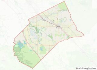
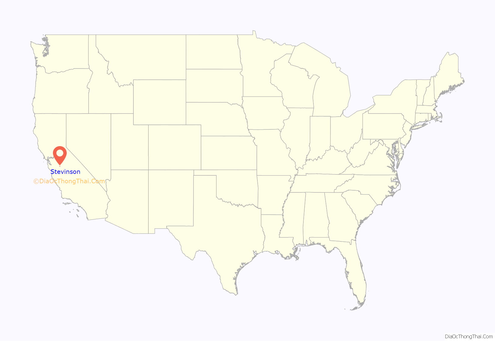
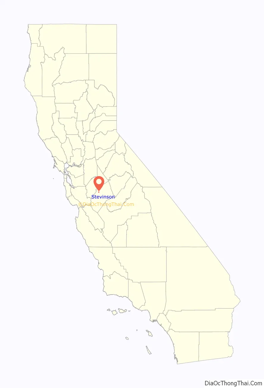
Stevinson location map. Where is Stevinson CDP?
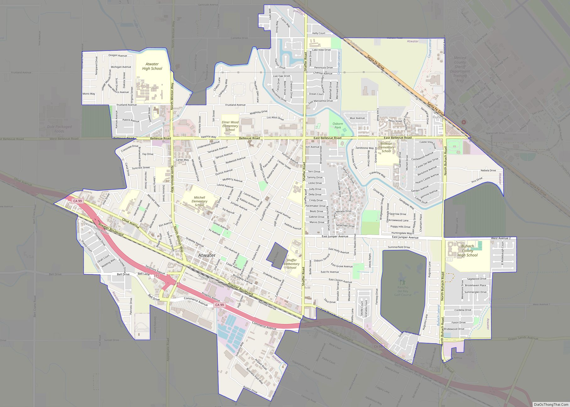
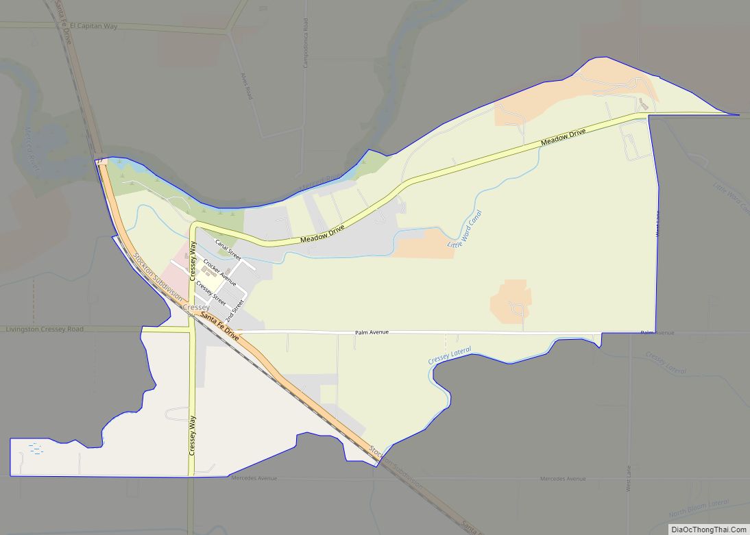
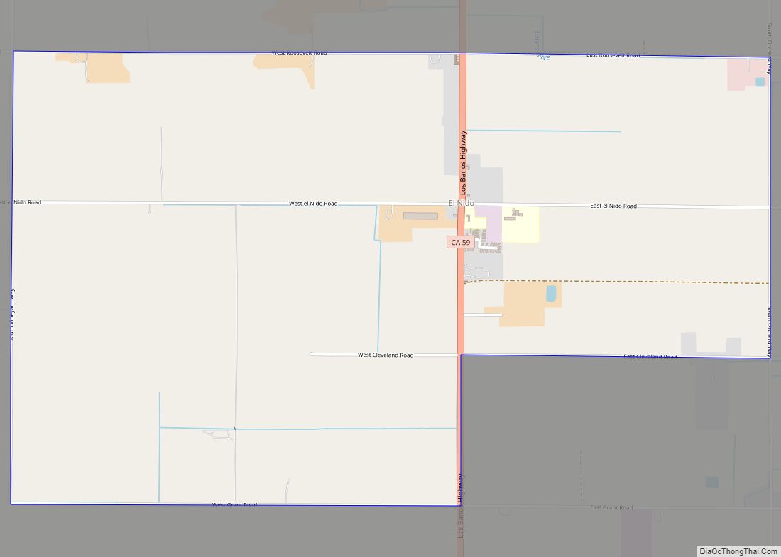
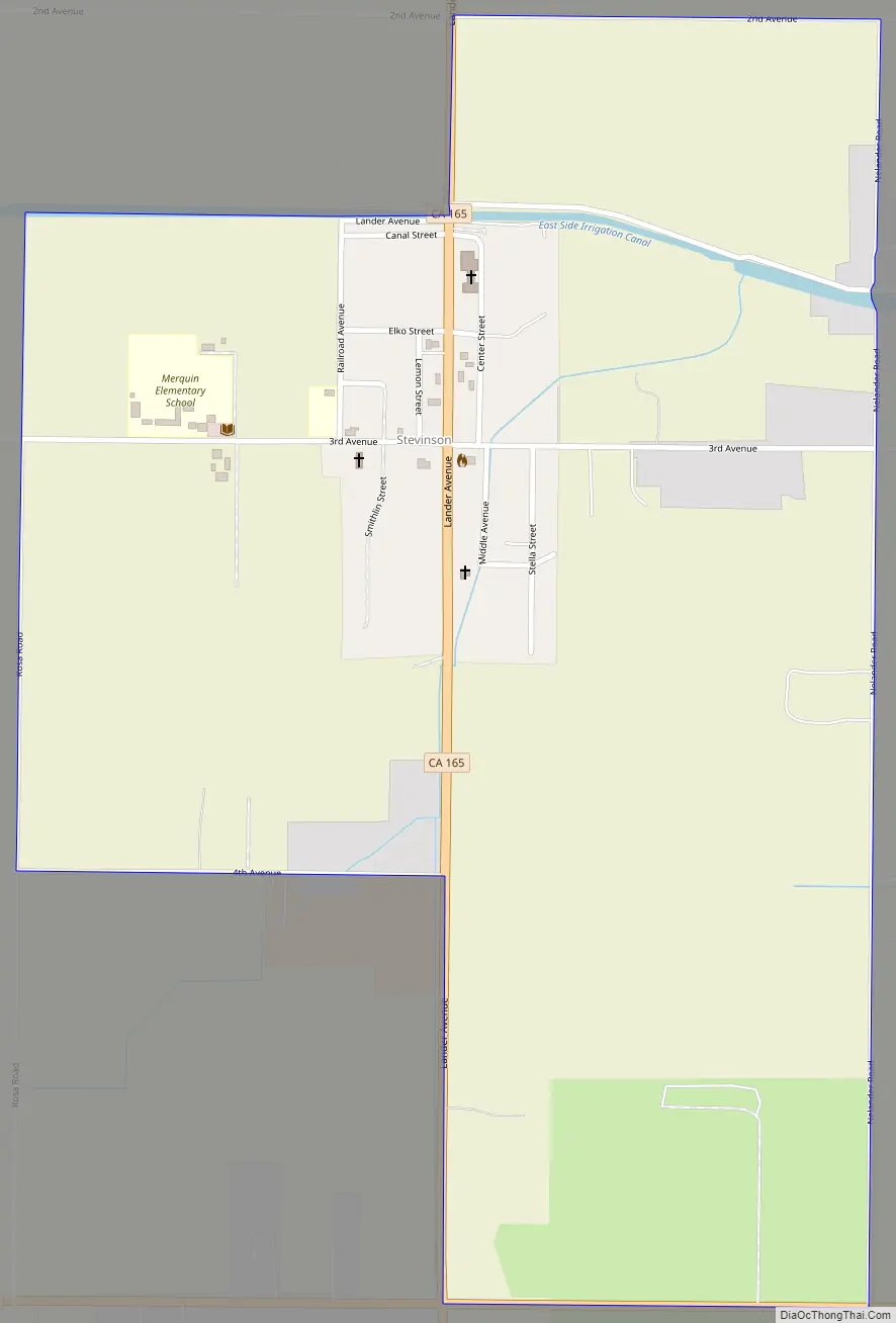
Stevinson Road Map
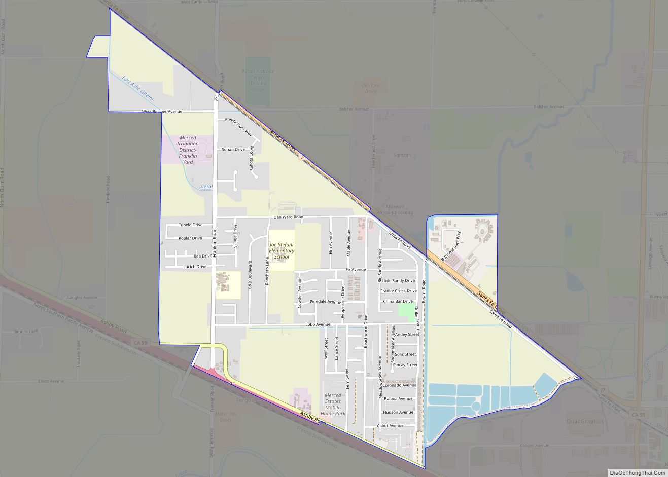
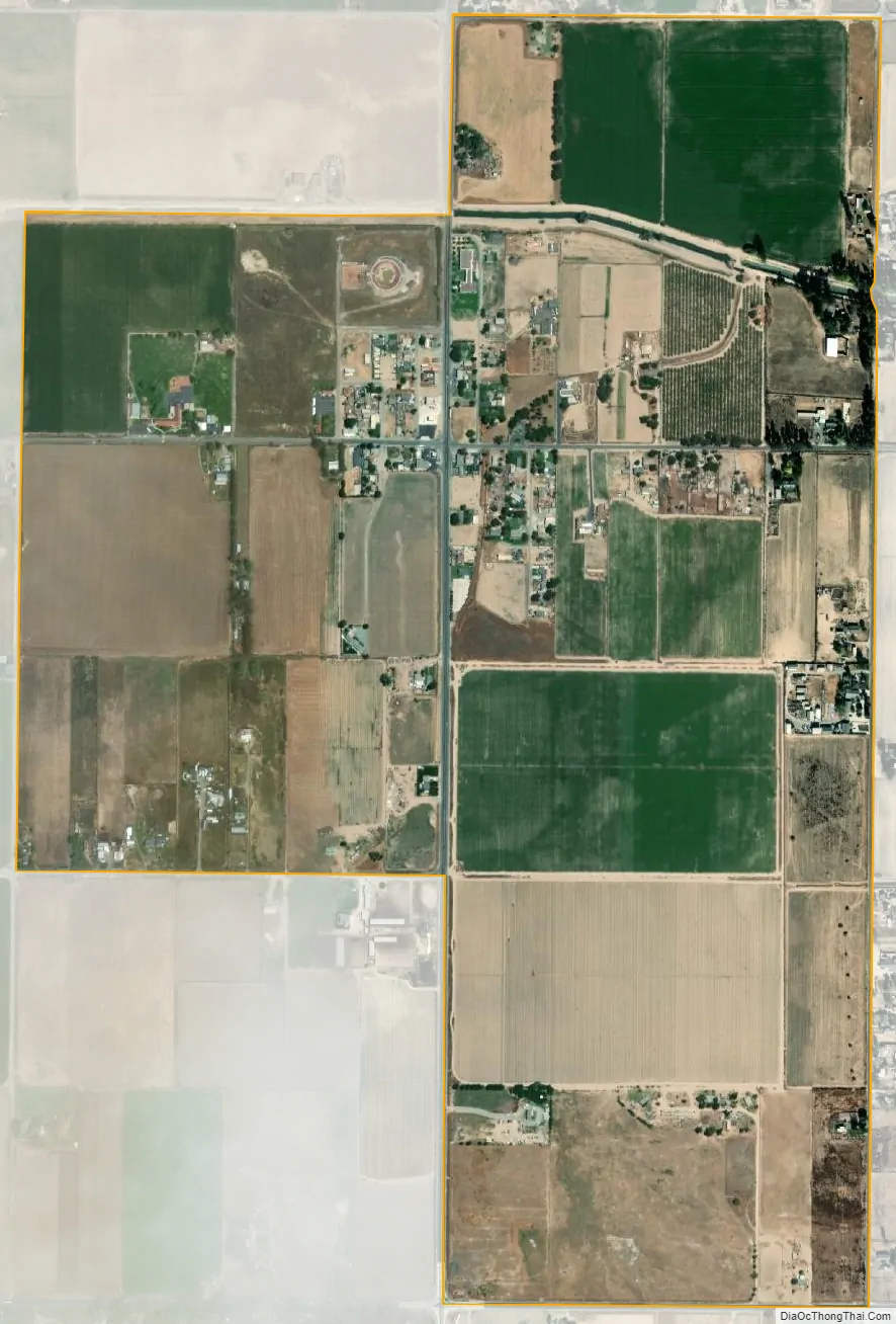
Stevinson city Satellite Map
Geography
Stevinson is in northwestern Merced County, north of the intersection of State Routes 140 and 165. SR 140 leads east 20 miles (32 km) to Merced, the county seat, and southwest 10 miles (16 km) to Gustine, while SR 165 leads north 12 miles (19 km) to Turlock and south 19 miles (31 km) to Los Banos.
According to the United States Census Bureau, the Stevinson CDP covers an area of 1.1 square miles (2.8 km), all of it land.
Climate
This region experiences warm (but not hot) and dry summers, with no average monthly temperatures above 71.6 °F (22.0 °C). According to the Köppen Climate Classification system, Stevinson has a warm-summer Mediterranean climate, abbreviated “Csb” on climate maps.
See also
Map of California State and its subdivision:- Alameda
- Alpine
- Amador
- Butte
- Calaveras
- Colusa
- Contra Costa
- Del Norte
- El Dorado
- Fresno
- Glenn
- Humboldt
- Imperial
- Inyo
- Kern
- Kings
- Lake
- Lassen
- Los Angeles
- Madera
- Marin
- Mariposa
- Mendocino
- Merced
- Modoc
- Mono
- Monterey
- Napa
- Nevada
- Orange
- Placer
- Plumas
- Riverside
- Sacramento
- San Benito
- San Bernardino
- San Diego
- San Francisco
- San Joaquin
- San Luis Obispo
- San Mateo
- Santa Barbara
- Santa Clara
- Santa Cruz
- Shasta
- Sierra
- Siskiyou
- Solano
- Sonoma
- Stanislaus
- Sutter
- Tehama
- Trinity
- Tulare
- Tuolumne
- Ventura
- Yolo
- Yuba
- Alabama
- Alaska
- Arizona
- Arkansas
- California
- Colorado
- Connecticut
- Delaware
- District of Columbia
- Florida
- Georgia
- Hawaii
- Idaho
- Illinois
- Indiana
- Iowa
- Kansas
- Kentucky
- Louisiana
- Maine
- Maryland
- Massachusetts
- Michigan
- Minnesota
- Mississippi
- Missouri
- Montana
- Nebraska
- Nevada
- New Hampshire
- New Jersey
- New Mexico
- New York
- North Carolina
- North Dakota
- Ohio
- Oklahoma
- Oregon
- Pennsylvania
- Rhode Island
- South Carolina
- South Dakota
- Tennessee
- Texas
- Utah
- Vermont
- Virginia
- Washington
- West Virginia
- Wisconsin
- Wyoming