Walnut is a city in the eastern part of Los Angeles County in the U.S. state of California. At the 2010 census, the city had a population of 29,172, and in 2019 the population was estimated at 29,685.
The greater Walnut Valley is located between the steep San Jose Hills mountain range to the north, and the gentle Puente Hills to the south. Quality housing consists of master-planned single family homes ranging in size from 1,800 to 11,200 square feet (170 to 1,040 m). The city hosts a highly ranked public school system—the Walnut Valley Unified School District, which has been ranked by numerous sources as one of the top public school districts in Southern California as well as Mt. San Antonio College. Walnut is one of the cities with the lowest crime rates in the San Gabriel Valley.
The city covers nearly 9 square miles (23 km) and is home to hundreds of businesses. According to the 2010 United States Census, Walnut has a median household income at one of the top-earning percentiles in the country at $101,250.
The city’s name is derived from the Rancho Los Nogales Mexican land grant, nogales being the Spanish word for “walnut trees”; the native California black walnut is a common tree, native to the San Jose Hills. The City of Walnut is a general law city incorporated on January 19, 1959. It is governed by a city council/city manager form of government. A five-member city council is elected by the residents, and a mayor is elected annually by the council to serve a twelve-month term. A city manager is appointed by the council to oversee the daily activities of the city.
| Name: | Walnut city |
|---|---|
| LSAD Code: | 25 |
| LSAD Description: | city (suffix) |
| State: | California |
| County: | Los Angeles County |
| Elevation: | 561 ft (171 m) |
| Total Area: | 9.00 sq mi (23.30 km²) |
| Land Area: | 8.99 sq mi (23.29 km²) |
| Water Area: | 0.00 sq mi (0.01 km²) 0.04% |
| Population Density: | 3,301.27/sq mi (1,274.67/km²) |
| Area code: | 909, 626 |
| FIPS code: | 0683332 |
| Website: | www.ci.walnut.ca.us |
Online Interactive Map
Click on ![]() to view map in "full screen" mode.
to view map in "full screen" mode.
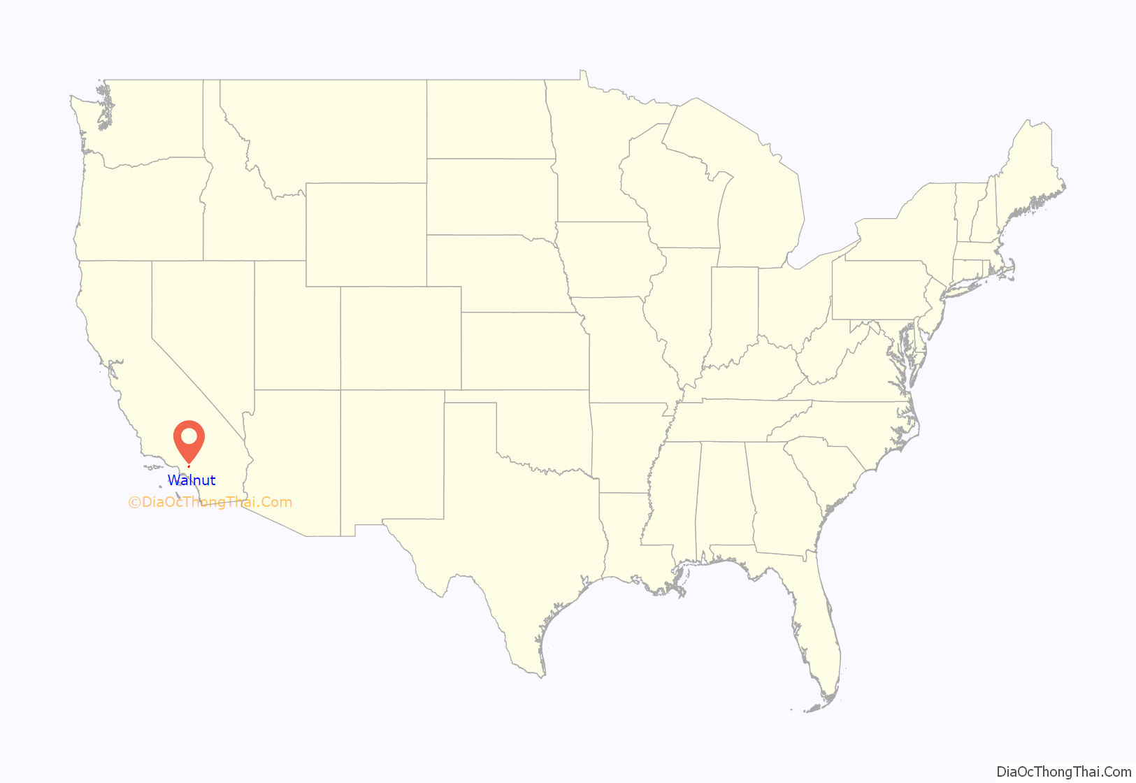
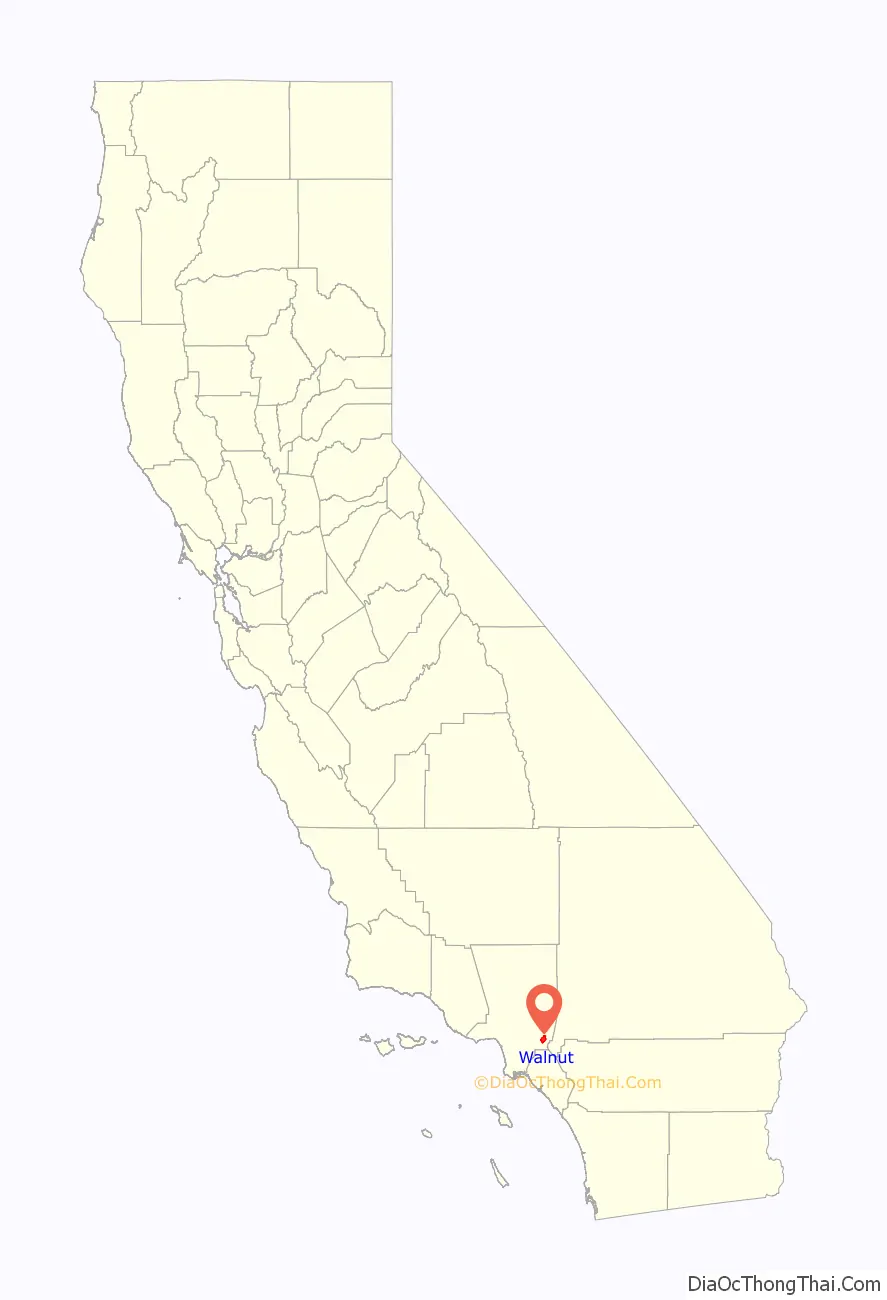
Walnut location map. Where is Walnut city?
History
The area are the traditional lands of the Tongva people. Spanish missionaries who arrived in the 18th century called the indigenes Gabrieleño, because the area where they lived was controlled by the San Gabriel Mission. The Walnut area was part of the network of outlying ranches used for the grazing of cattle and sheep by the Mission.
Following secularization of the missions in the 1830s, former mission lands were divided into ranchos, and given away as land grants by the Mexican government of Alta California. In the Walnut area, the first grants were Rancho San Jose (granted to Ricardo Vejar and Ygnacio Palomares in 1837); Rancho Los Nogales (granted to Jose De La Cruz Linares in 1840); and Rancho La Puente (granted to John Rowland and William Workman in 1842). In 1868, John Rowland and William Workman divided Rancho La Puente, leaving Rowland the eastern half and Workman the western half. Rowland’s land included the western portion of Walnut and the adjacent community now called Rowland Heights. The land was used mainly for raising cattle and growing wheat, grapes, and fruit trees (mostly citrus).
In 1895, the first U.S. post office was established and given the name “Lemon”. In 1908, the post office name was changed to Walnut. As a reminder of those early days, the U.S. Post Office is on Lemon Avenue, one of the town’s main streets.
The City of Walnut’s Bicentennial Commission selected the construction of Lemon Creek Park and the restoration of the William R. Rowland Adobe Redwood Ranch House as Walnut’s bicentennial project. In 1872, the Lemon Creek Park area became the property of Sheriff William Rowland, who inherited the 29,000-acre (120 km) ranch from his father, John Rowland. The modest structure built in 1883 served as the home of Mr. Meridith, ranch foreman for William Rowland. The adobe redwood ranch house is one of the few remaining original ranch style redwood and adobe structures in the area. On October 1, 1975, the State Landmark Committee placed the W.R. Rowland ranch house in the National Registry of Historical Places.
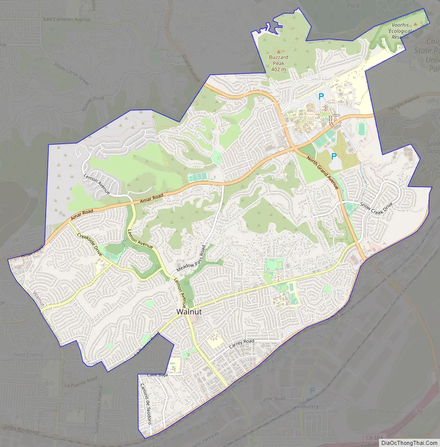
Walnut Road Map
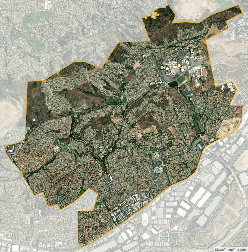
Walnut city Satellite Map
Geography
Walnut is located on the southern slopes of the San Jose Hills, with West Covina to the northwest, Covina to the north, San Dimas to the northeast, Pomona to the east, Diamond Bar, Rowland Heights, and the City of Industry to the south, and La Puente to the west. Several small creeks (i.e. Snow Creek, Lemon Creek) run mostly to the south toward the valley of San Jose Creek, which runs west to the San Gabriel River.
Climate
See also
Map of California State and its subdivision:- Alameda
- Alpine
- Amador
- Butte
- Calaveras
- Colusa
- Contra Costa
- Del Norte
- El Dorado
- Fresno
- Glenn
- Humboldt
- Imperial
- Inyo
- Kern
- Kings
- Lake
- Lassen
- Los Angeles
- Madera
- Marin
- Mariposa
- Mendocino
- Merced
- Modoc
- Mono
- Monterey
- Napa
- Nevada
- Orange
- Placer
- Plumas
- Riverside
- Sacramento
- San Benito
- San Bernardino
- San Diego
- San Francisco
- San Joaquin
- San Luis Obispo
- San Mateo
- Santa Barbara
- Santa Clara
- Santa Cruz
- Shasta
- Sierra
- Siskiyou
- Solano
- Sonoma
- Stanislaus
- Sutter
- Tehama
- Trinity
- Tulare
- Tuolumne
- Ventura
- Yolo
- Yuba
- Alabama
- Alaska
- Arizona
- Arkansas
- California
- Colorado
- Connecticut
- Delaware
- District of Columbia
- Florida
- Georgia
- Hawaii
- Idaho
- Illinois
- Indiana
- Iowa
- Kansas
- Kentucky
- Louisiana
- Maine
- Maryland
- Massachusetts
- Michigan
- Minnesota
- Mississippi
- Missouri
- Montana
- Nebraska
- Nevada
- New Hampshire
- New Jersey
- New Mexico
- New York
- North Carolina
- North Dakota
- Ohio
- Oklahoma
- Oregon
- Pennsylvania
- Rhode Island
- South Carolina
- South Dakota
- Tennessee
- Texas
- Utah
- Vermont
- Virginia
- Washington
- West Virginia
- Wisconsin
- Wyoming


