Covina is a city in the San Gabriel Valley region of Los Angeles County, California, United States, about 22 miles (35 km) east of Downtown Los Angeles The population was 51,268 according to the 2020 census, up from 47,796 at the 2010 census. The city’s slogan, “One Mile Square and All There”, was coined when the incorporated area of the city was only one square mile (2.6 km).
Covina is bordered by West Covina, to its south and west side. Irwindale lies to the west, as well as the unincorporated area of Vincent, and the city of Baldwin Park. Azusa and Glendora are to the north, the unincorporated community of Charter Oak to the northeast, San Dimas to the east, the unincorporated area of Ramona and city of Pomona to the southeast.
| Name: | Covina city |
|---|---|
| LSAD Code: | 25 |
| LSAD Description: | city (suffix) |
| State: | California |
| County: | Los Angeles County |
| Founded: | 1882 |
| Incorporated: | August 14, 1901 |
| Elevation: | 558 ft (170 m) |
| Total Area: | 7.05 sq mi (18.26 km²) |
| Land Area: | 7.04 sq mi (18.22 km²) |
| Water Area: | 0.01 sq mi (0.03 km²) 0.22% |
| Total Population: | 51,268 |
| Population Density: | 7,286.53/sq mi (2,813.39/km²) |
| Area code: | 626 |
| FIPS code: | 0616742 |
Online Interactive Map
Click on ![]() to view map in "full screen" mode.
to view map in "full screen" mode.
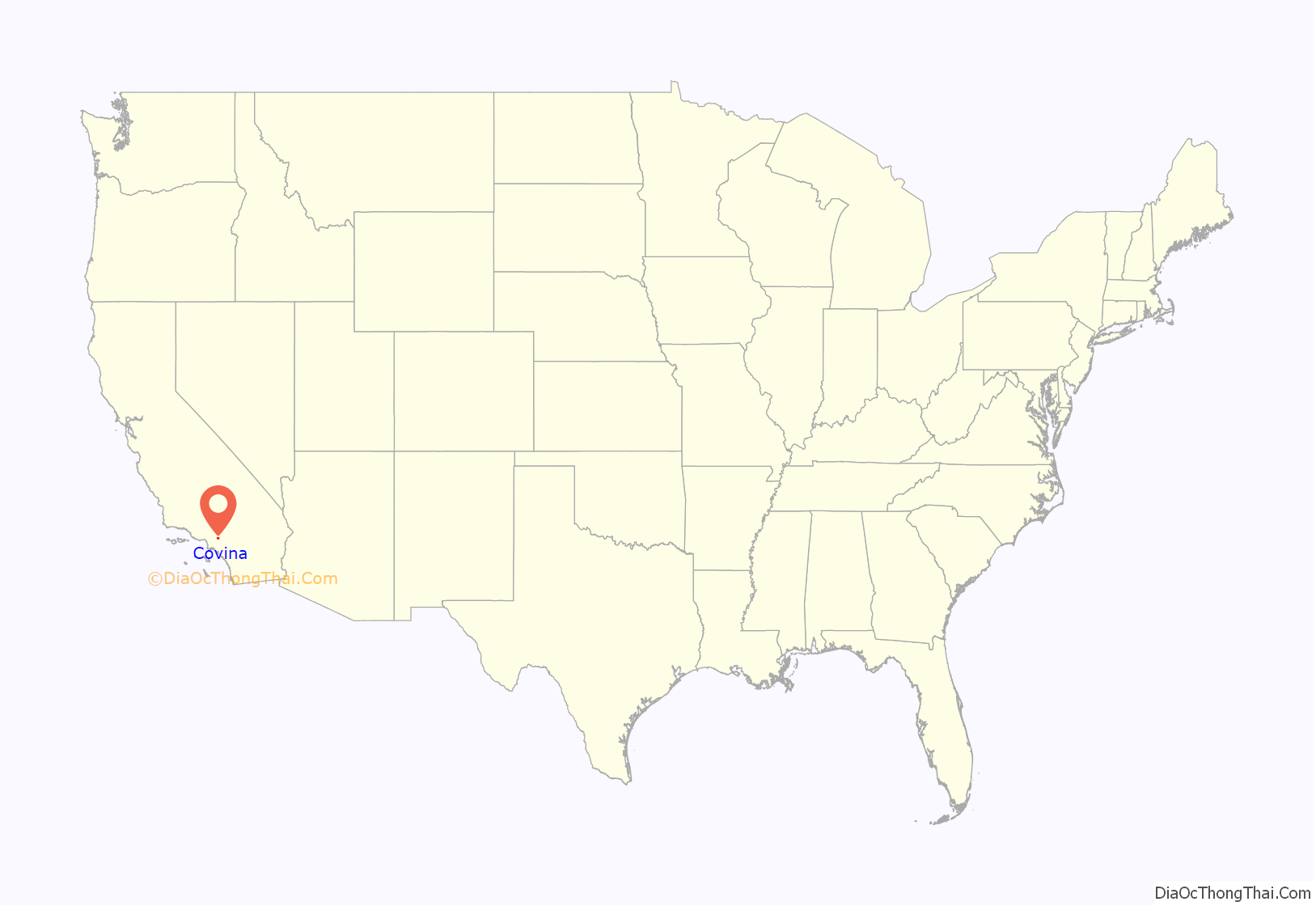
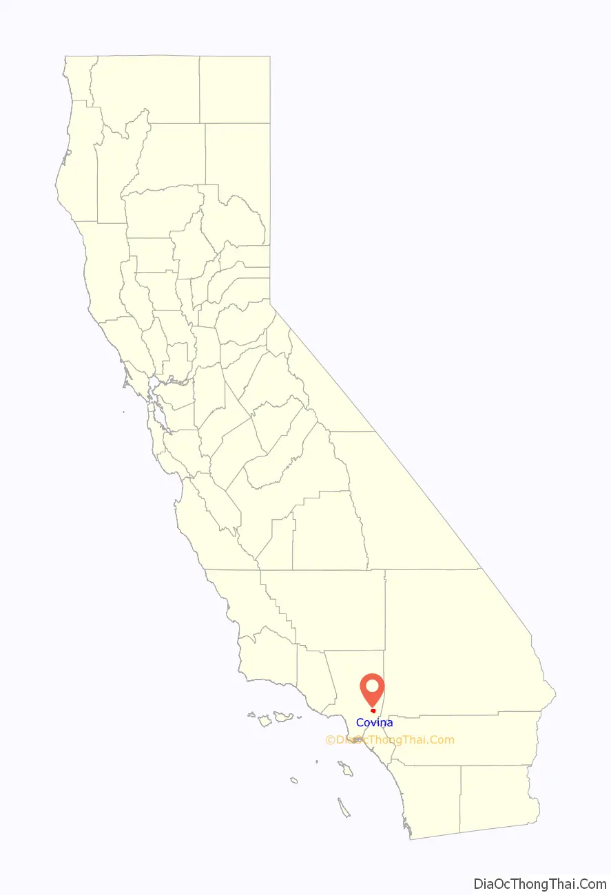
Covina location map. Where is Covina city?
History
Present-day Covina was originally within the homelands of the indigenous Tongva people for 5,000 to 8,000 years. In the 18th century it the became part of Rancho La Puente in Alta California, a 1770s Spanish colonial and 1842 Mexican land grant.
The city of Covina was founded in 1882 by Joseph Swift Phillips, on a 2,000-acre (8.1 km) tract that was purchased from the holdings of John Edward Hollenbeck, one of the 1842 grantees of Rancho La Puente. In 1875 Hollenbeck had purchased a failed coffee plantation from three Costa Rican brothers, Pedro Maria Badilla, Julian Badilla, and Pedro Antonio Badilla; the latter purchased it from the heirs of Hollenbeck’s 1842 co-grantee John A. Rowland. Four streets of Covina were named after these people, as well as Rancho La Puente, which include Badillo Street, Puente Street, Rowland Street, and Hollenbeck Avenue.
The City of Covina was named by a young engineer, Frederick Eaton, who was hired by Phillips to survey the area. Impressed by the way that the valleys of the adjacent San Gabriel Mountains formed a natural cove around the vineyards that had been planted by the region’s earlier pioneers, Eaton merged the words “cove” and “vine”, and in 1885, created the name Covina for the new township.
The city was incorporated in 1901, the townsite bounded by Puente Street on the south, 1st Avenue on the east, the alley north of College Street on the north, and 4th Avenue on the west. The city’s slogan, “One Mile Square and All There”, was coined by Mrs F. E. Wolfarth, the winner of a 1922 slogan contest sponsored by the chamber of commerce.
It was not vineyards but orange and grapefruit groves that blanketed the city. By 1909, the city was the third-largest orange producer in the world, and it still claimed to have “the best oranges in the world” as late as the 1950s. Since World War II, however, the orange groves have been largely replaced by single-family (houses) and multiple-family (apartments) dwellings.
The Covina Valley Historical Society maintains an archive illustrating the city’s history in the 1911-built Firehouse Jail Museum, Covina’s first municipal building, located immediately behind City Hall in Covina’s Old Town.
Opened in 1997, the Covina AMC 30 located at Arrow Highway and Azusa Avenue is one of the busiest theatres in the United States. The movie theater was built on the site of a former Sears building and claims to have the largest movie multiplex in Los Angeles County.
It has been a sister city of Xalapa, Mexico, since 1964. A replica of a giant stone Olmec head, located in a place of honor in Parque Xalapa, was given to the city in 1989 by the state of Veracruz. According to the placard placed below the head, it was originally excavated from San Lorenzo de Tenochtitlan. The statue was later moved from its location in front of the police department to Jalapa Park in the southeast portion of the city.
2008 marked both the opening and the charter season of the Covina Center for the Performing Arts, a newly remodeled multimillion-dollar theatrical venue in downtown Covina.
2008 massacre
On December 24, 2008, a shooting and arson occurred. Bruce Jeffrey Pardo, dressed in a Santa Claus costume, entered a Christmas party at his ex-wife’s residence and opened fire. After the shootings, Pardo unwrapped a Christmas package containing a homemade flamethrower and used it to set the home ablaze. When he left, nine family members were dead and the house was engulfed in flames. After the massacre, Pardo drove his rental car to his brother’s house in Sylmar, approximately 30 miles (48 km) away from the attack. He was later found dead from a self-inflicted gunshot wound. The slayings left 15 children without one or both parents.
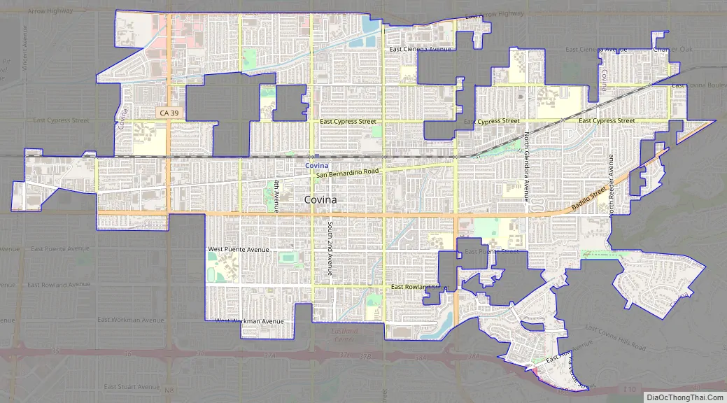
Covina Road Map
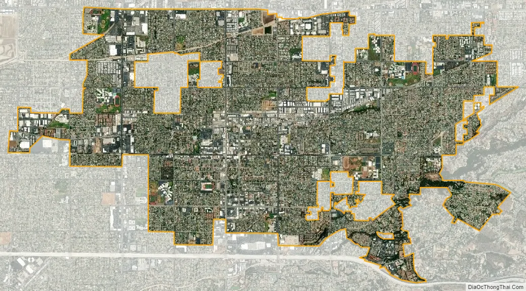
Covina city Satellite Map
Geography
Covina is located at 34°5′30″N 117°52′45″W / 34.09167°N 117.87917°W / 34.09167; -117.87917 (34.091609, -117.879193).
The only freeway that passes through the area is a very small stretch of Interstate 10. Covina is centered in the midst of Interstate 210 (Foothill Freeway) to the north, Interstate 605 (San Gabriel River Freeway) to the west, State Route 57 (Orange Freeway) to the east, and Interstate 10 to the south.
The Southern Pacific Railroad, which reached Covina in 1884, and the Metrolink San Bernardino Line pass through the city just north of the downtown area. The town is located at the foot of the San Gabriel Mountains in the San Gabriel Valley. According to the United States Census Bureau, the city has a total area of 7.0 square miles (18 km)—99.78% of it is land and 0.22% of it is water.
Climate
This region experiences hot, dry summers and mild, occasionally rainy winters. According to the Köppen climate classification system, Covina has a hot-summer Mediterranean climate, abbreviated “Csa” on climate maps.
See also
Map of California State and its subdivision:- Alameda
- Alpine
- Amador
- Butte
- Calaveras
- Colusa
- Contra Costa
- Del Norte
- El Dorado
- Fresno
- Glenn
- Humboldt
- Imperial
- Inyo
- Kern
- Kings
- Lake
- Lassen
- Los Angeles
- Madera
- Marin
- Mariposa
- Mendocino
- Merced
- Modoc
- Mono
- Monterey
- Napa
- Nevada
- Orange
- Placer
- Plumas
- Riverside
- Sacramento
- San Benito
- San Bernardino
- San Diego
- San Francisco
- San Joaquin
- San Luis Obispo
- San Mateo
- Santa Barbara
- Santa Clara
- Santa Cruz
- Shasta
- Sierra
- Siskiyou
- Solano
- Sonoma
- Stanislaus
- Sutter
- Tehama
- Trinity
- Tulare
- Tuolumne
- Ventura
- Yolo
- Yuba
- Alabama
- Alaska
- Arizona
- Arkansas
- California
- Colorado
- Connecticut
- Delaware
- District of Columbia
- Florida
- Georgia
- Hawaii
- Idaho
- Illinois
- Indiana
- Iowa
- Kansas
- Kentucky
- Louisiana
- Maine
- Maryland
- Massachusetts
- Michigan
- Minnesota
- Mississippi
- Missouri
- Montana
- Nebraska
- Nevada
- New Hampshire
- New Jersey
- New Mexico
- New York
- North Carolina
- North Dakota
- Ohio
- Oklahoma
- Oregon
- Pennsylvania
- Rhode Island
- South Carolina
- South Dakota
- Tennessee
- Texas
- Utah
- Vermont
- Virginia
- Washington
- West Virginia
- Wisconsin
- Wyoming


