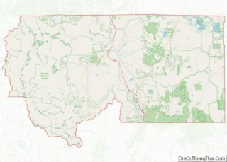
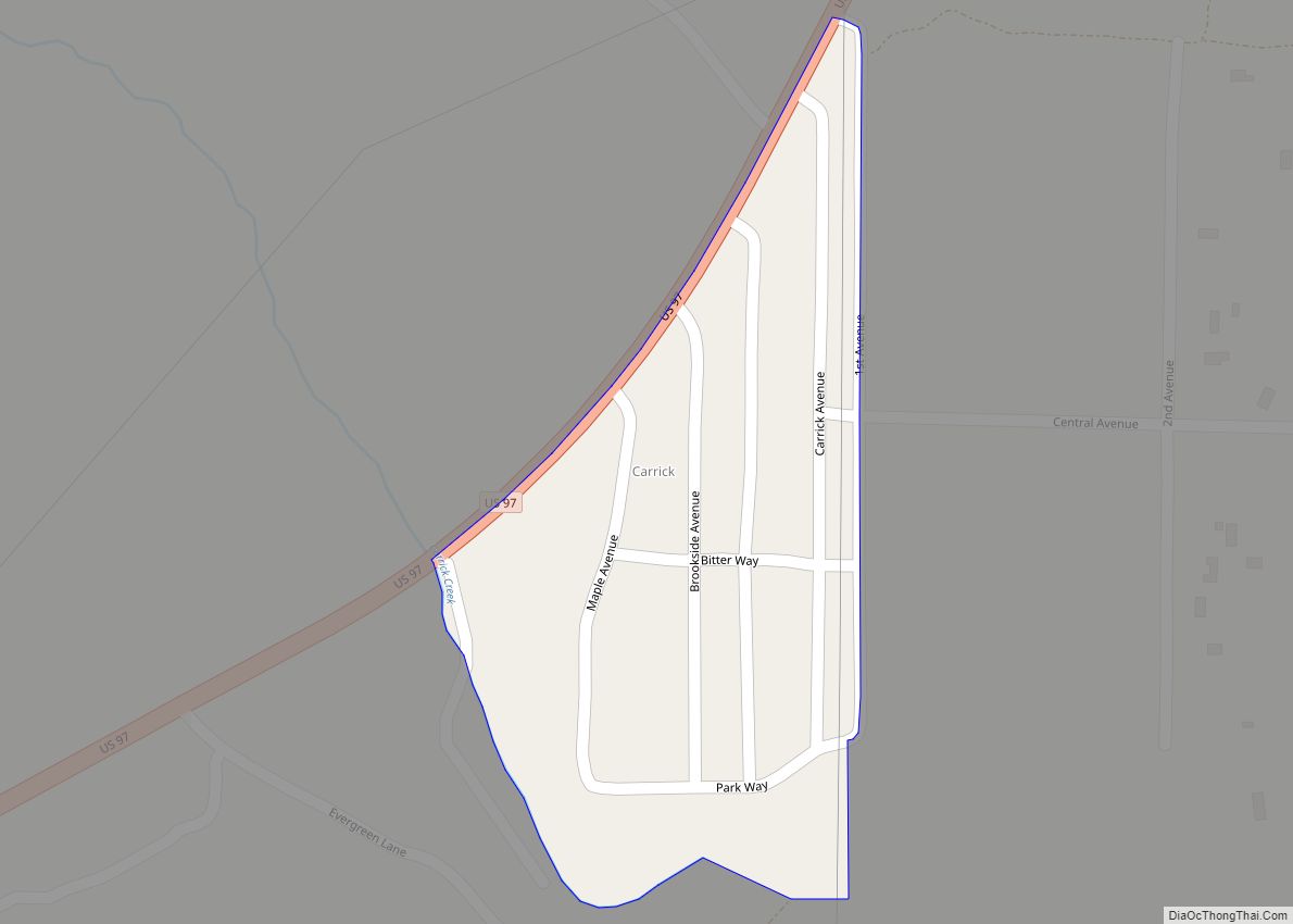
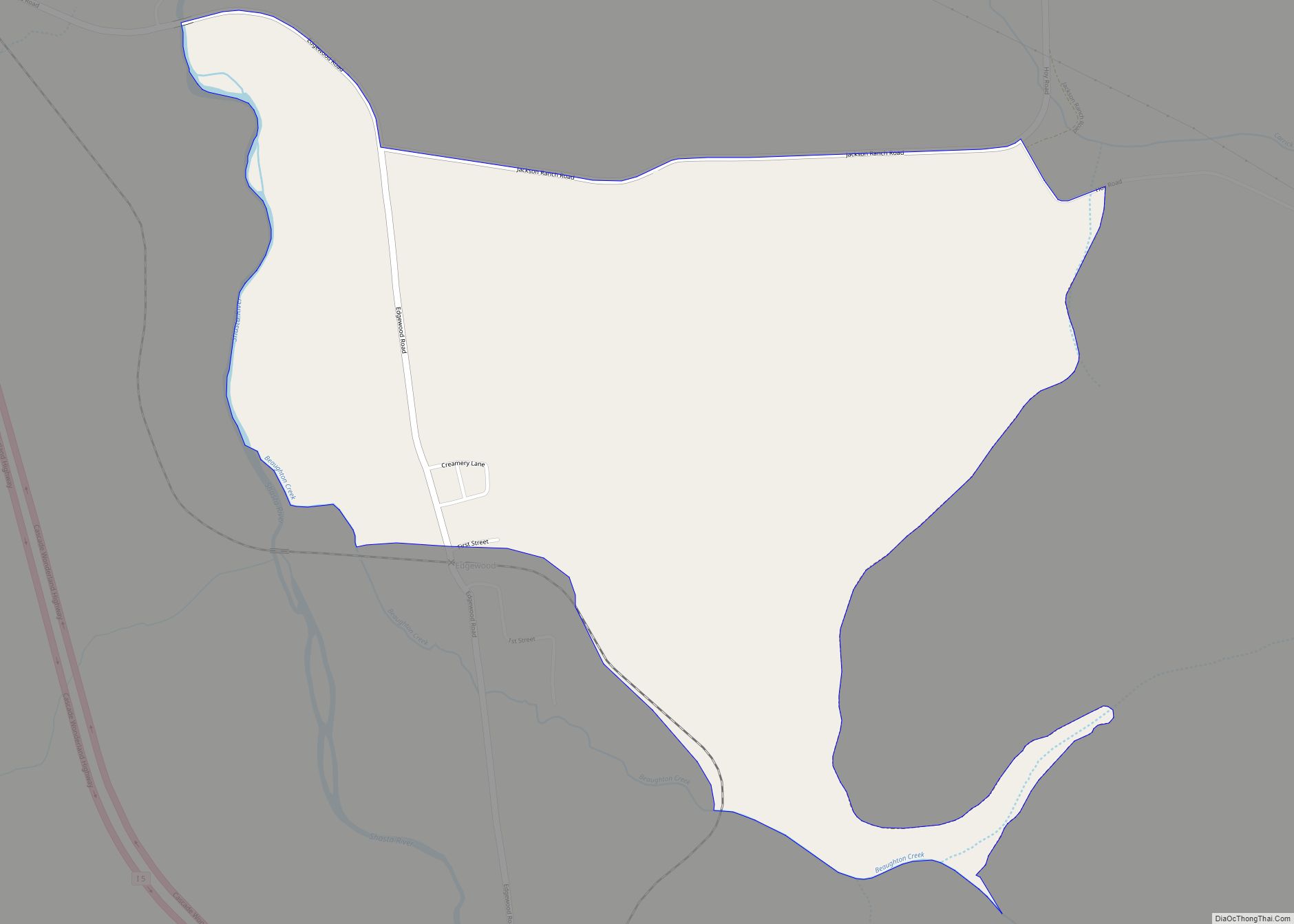
Weed is a city in Siskiyou County, California, United States. As of the 2020 Census, the city had a total population of 2,862, down from 2,967 in 2010. There are several unincorporated communities adjacent to, or just outside, Weed proper, including Edgewood, Carrick, and Lake Shastina. These communities generally have mailing addresses that use Weed or its ZIP code. Weed is about 10 miles (16 km) west-northwest of Mount Shasta, a prominent northern California landmark, and the second-tallest volcano in the Cascade Range.
Weed’s city motto is “Weed like to welcome you”. Weed has frequently been noted on lists of unusual place names.
| Name: | Weed city |
|---|---|
| LSAD Code: | 25 |
| LSAD Description: | city (suffix) |
| State: | California |
| County: | Siskiyou County |
| Incorporated: | January 25, 1961 |
| Elevation: | 3,425 ft (1,044 m) |
| Total Area: | 4.79 sq mi (12.40 km²) |
| Land Area: | 4.78 sq mi (12.38 km²) |
| Water Area: | 0.01 sq mi (0.01 km²) 0.10% |
| Total Population: | 2,862 |
| Population Density: | 600/sq mi (230/km²) |
| ZIP code: | 96094 |
| Area code: | 530 |
| FIPS code: | 0683850 |
| GNISfeature ID: | 1652650 |
| Website: | www.ci.weed.ca.us |
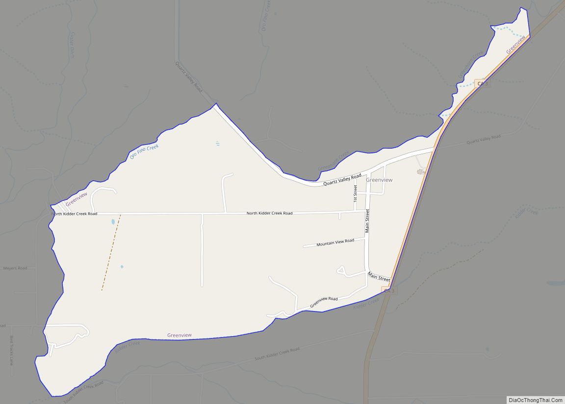
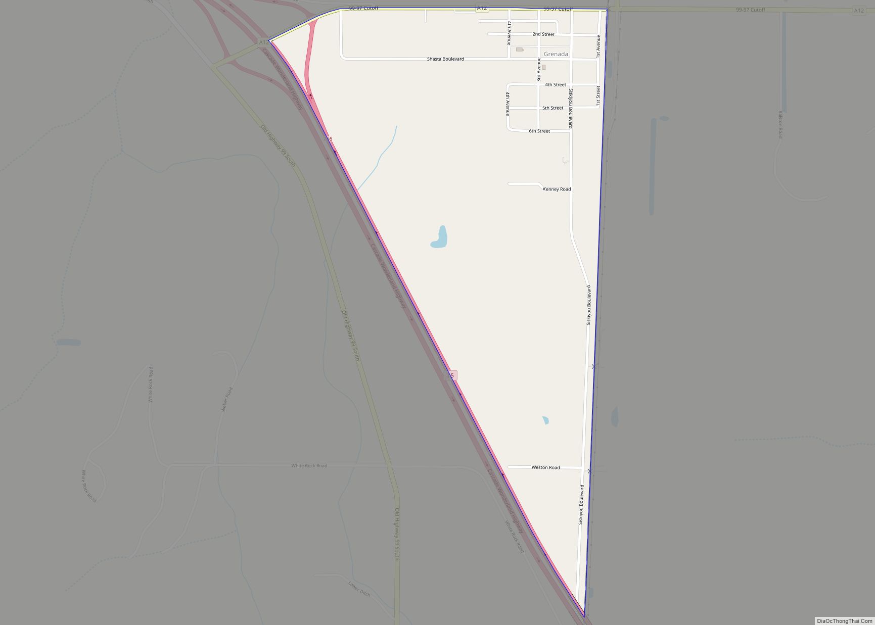
Online Interactive Map
Click on ![]() to view map in "full screen" mode.
to view map in "full screen" mode.
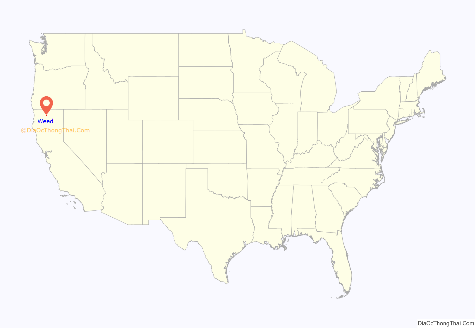
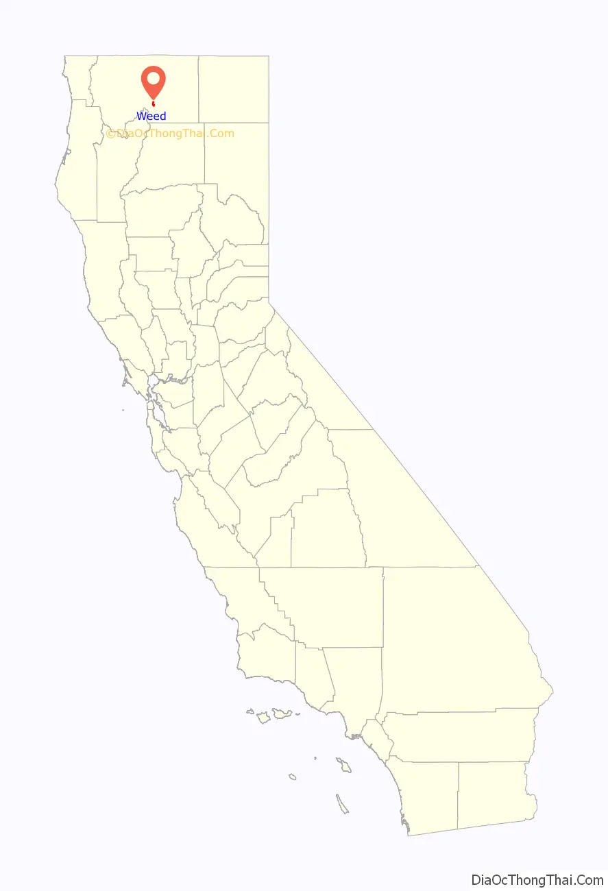
Weed location map. Where is Weed city?
History
The City of Weed derives its name from the founder of the local lumber mill and pioneer Abner Weed, who discovered that the area’s strong winds were helpful in drying lumber. In 1897, Abner Weed bought the Siskiyou Lumber and Mercantile Mill and 280 acres (110 hectares) of land in what is now the City of Weed, for $400. By the 1940s Weed boasted the world’s largest sawmill.
Boles Fire
On September 15, 2014, the Boles Fire spread through Weed, driven by 40-mph winds. The fire started behind the Boles Creek Apartments in the central part of Weed at approximately 1:30 p.m., and within four hours quickly spread to over 200 acres (80 hectares). Evacuations were immediately ordered, and a shelter was first set up at College of the Siskiyous, but as fire headed towards the college, the evacuation center was relocated first to the Siskiyou Golden Fairgrounds in Yreka, then to Yreka and Mount Shasta High Schools, then to the armory in Mt. Shasta.
Over 200 structures were damaged or destroyed, including two churches, the elementary school, high school, and Roseburg mill. The schools and mill sustained only minimal damage to outbuildings. About 7,678 Pacific Power customers in both Weed and Mt. Shasta lost power as a result of the fire.
Beaughan Spring
The City of Weed gets its water from the Beaughan Spring, with the water being piped directly to homes.
In September 2016, The New York Times reported French billionaire Pierre Papillaud demanded that Weed give up its Beaughan Spring spring water source so that Papillaud’s bottle water company could have more water to sell. Disconnecting from Beaughan Spring would leave Weed without public water. In March 2021, it was reported that the parties involved had reached a compromise which will allow Weed to continue to have access to water from Beaughan Spring in perpetuity.
Mill Fire
In early September 2022, the Mill Fire started in or near Weed, burning down the Lincoln Heights neighborhood.
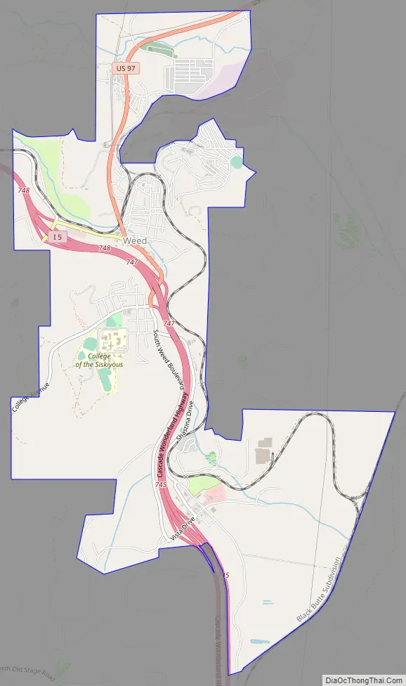
Weed Road Map
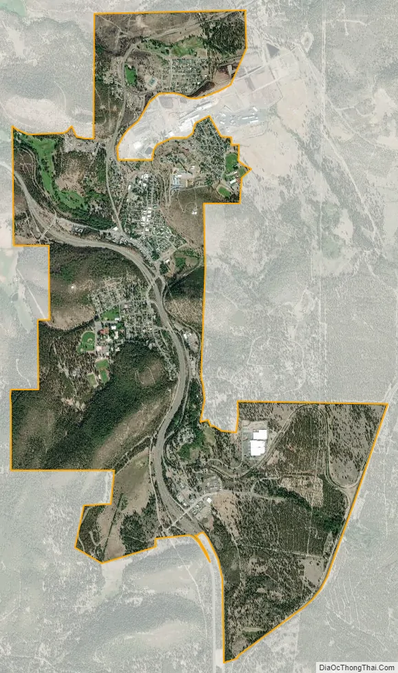
Weed city Satellite Map
Geography
Weed is off Interstate 5, 49 miles (79 km) south of the California–Oregon border. The next large settlement to the north on I-5 is Yreka; to the south is the City of Mount Shasta. U.S. Route 97 runs to the northeast and Klamath Falls, Oregon.
According to the United States Census Bureau, the city has a total area of 4.8 square miles (12 km), of which 0.10% is covered by water. The closest cities with a population greater than 50,000 are Redding, California (69 miles south) and Medford, Oregon (91 miles north).
Climate
Weed has a warm-summer Mediterranean climate (Csb according to the Köppen climate classification system), featuring cool, wet winters with occasional snowfall, and hot, dry summers. Its average annual precipitation is 23.64 in (600 mm). Its USDA hardiness zone is 7b.
See also
Map of California State and its subdivision:- Alameda
- Alpine
- Amador
- Butte
- Calaveras
- Colusa
- Contra Costa
- Del Norte
- El Dorado
- Fresno
- Glenn
- Humboldt
- Imperial
- Inyo
- Kern
- Kings
- Lake
- Lassen
- Los Angeles
- Madera
- Marin
- Mariposa
- Mendocino
- Merced
- Modoc
- Mono
- Monterey
- Napa
- Nevada
- Orange
- Placer
- Plumas
- Riverside
- Sacramento
- San Benito
- San Bernardino
- San Diego
- San Francisco
- San Joaquin
- San Luis Obispo
- San Mateo
- Santa Barbara
- Santa Clara
- Santa Cruz
- Shasta
- Sierra
- Siskiyou
- Solano
- Sonoma
- Stanislaus
- Sutter
- Tehama
- Trinity
- Tulare
- Tuolumne
- Ventura
- Yolo
- Yuba
- Alabama
- Alaska
- Arizona
- Arkansas
- California
- Colorado
- Connecticut
- Delaware
- District of Columbia
- Florida
- Georgia
- Hawaii
- Idaho
- Illinois
- Indiana
- Iowa
- Kansas
- Kentucky
- Louisiana
- Maine
- Maryland
- Massachusetts
- Michigan
- Minnesota
- Mississippi
- Missouri
- Montana
- Nebraska
- Nevada
- New Hampshire
- New Jersey
- New Mexico
- New York
- North Carolina
- North Dakota
- Ohio
- Oklahoma
- Oregon
- Pennsylvania
- Rhode Island
- South Carolina
- South Dakota
- Tennessee
- Texas
- Utah
- Vermont
- Virginia
- Washington
- West Virginia
- Wisconsin
- Wyoming