Brighton is a home rule municipality city located in Adams and Weld counties, Colorado, United States. Brighton is the county seat of Adams County and a part of the Denver–Aurora–Lakewood, CO Metropolitan Statistical Area and the Front Range Urban Corridor. The city population was 40,083 at the 2020 United States Census with 39,718 residing in Adams County and 365 residing in Weld County.
| Name: | Brighton city |
|---|---|
| LSAD Code: | 25 |
| LSAD Description: | city (suffix) |
| State: | Colorado |
| County: | Adams County, Weld County |
| Incorporated: | September 1, 1887 |
| Elevation: | 4,984 ft (1,519 m) |
| Total Area: | 21.536 sq mi (55.777 km²) |
| Land Area: | 21.247 sq mi (55.030 km²) |
| Water Area: | 0.288 sq mi (0.747 km²) |
| Total Population: | 40,083 |
| Population Density: | 1,887/sq mi (729/km²) |
| ZIP code: | 80601-80603 |
| Area code: | 303, 720 |
| FIPS code: | 0808675 |
| GNISfeature ID: | 0204736 |
| Website: | brightonco.gov |
Online Interactive Map
Click on ![]() to view map in "full screen" mode.
to view map in "full screen" mode.
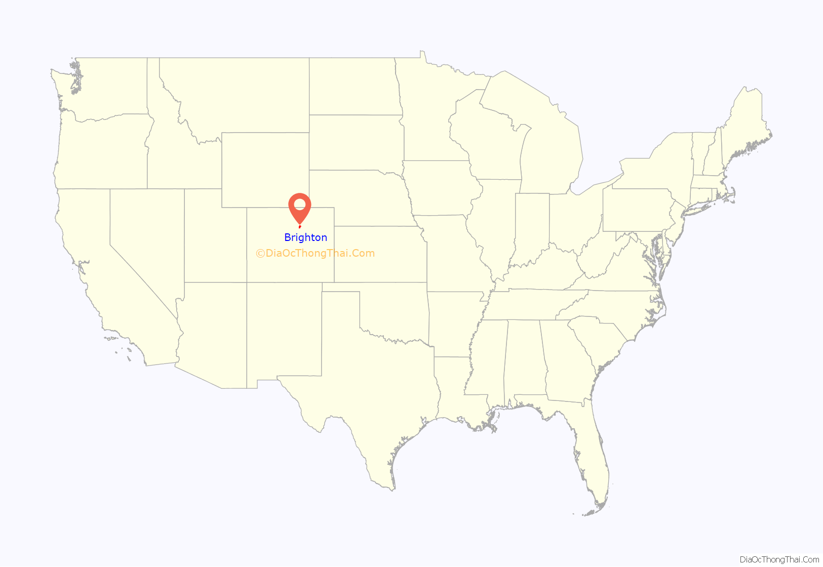
Brighton location map. Where is Brighton city?
History
The town was named for Brighton Beach, New York. Brighton was founded in the 1870s as a stage/railroad depot and farming community. The town was originally named Hughes Station. The town was incorporated in 1887. Among the notable scholars born there are Richard Ling, founding editor of Mobile Media & Communication, currently the Shaw Foundation Professor of Media Technology at Nanyang Technological University, and Max Pfeffer, Senior Associate Dean of the Cornell University College of Agriculture and Life Sciences.
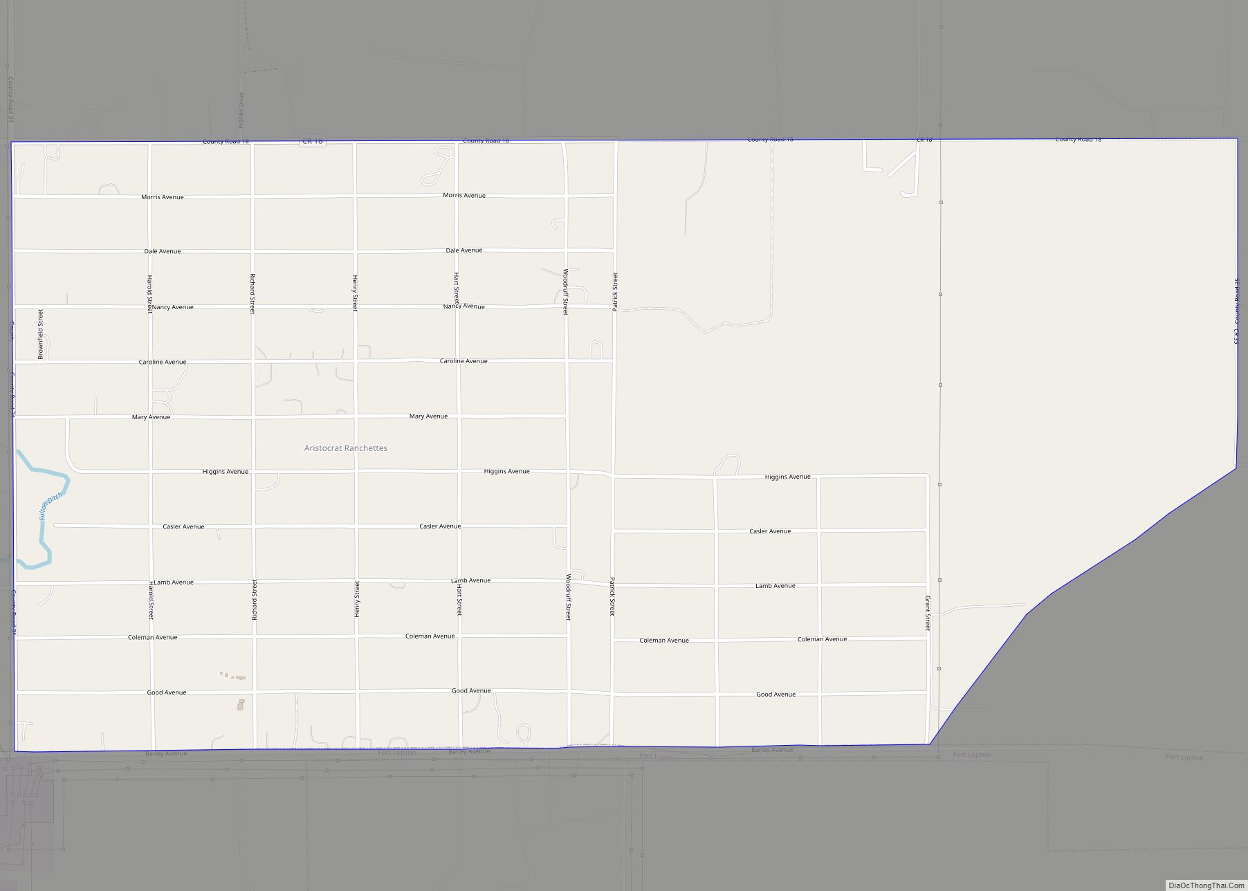
Brighton Road Map
Brighton city Satellite Map
Geography
Brighton is a suburb of Denver.
At the 2020 United States Census, the city had a total area of 13,783 acres (55.777 km) including 185 acres (0.747 km) of water.
Climate
According to the Köppen Climate Classification system, Brighton has a cold semi-arid climate, abbreviated “BSk” on climate maps.
See also
Map of Colorado State and its subdivision:- Adams
- Alamosa
- Arapahoe
- Archuleta
- Baca
- Bent
- Boulder
- Broomfield
- Chaffee
- Cheyenne
- Clear Creek
- Conejos
- Costilla
- Crowley
- Custer
- Delta
- Denver
- Dolores
- Douglas
- Eagle
- El Paso
- Elbert
- Fremont
- Garfield
- Gilpin
- Grand
- Gunnison
- Hinsdale
- Huerfano
- Jackson
- Jefferson
- Kiowa
- Kit Carson
- La Plata
- Lake
- Larimer
- Las Animas
- Lincoln
- Logan
- Mesa
- Mineral
- Moffat
- Montezuma
- Montrose
- Morgan
- Otero
- Ouray
- Park
- Phillips
- Pitkin
- Prowers
- Pueblo
- Rio Blanco
- Rio Grande
- Routt
- Saguache
- San Juan
- San Miguel
- Sedgwick
- Summit
- Teller
- Washington
- Weld
- Yuma
- Alabama
- Alaska
- Arizona
- Arkansas
- California
- Colorado
- Connecticut
- Delaware
- District of Columbia
- Florida
- Georgia
- Hawaii
- Idaho
- Illinois
- Indiana
- Iowa
- Kansas
- Kentucky
- Louisiana
- Maine
- Maryland
- Massachusetts
- Michigan
- Minnesota
- Mississippi
- Missouri
- Montana
- Nebraska
- Nevada
- New Hampshire
- New Jersey
- New Mexico
- New York
- North Carolina
- North Dakota
- Ohio
- Oklahoma
- Oregon
- Pennsylvania
- Rhode Island
- South Carolina
- South Dakota
- Tennessee
- Texas
- Utah
- Vermont
- Virginia
- Washington
- West Virginia
- Wisconsin
- Wyoming
