Capulin is an unincorporated town, a post office, and a census-designated place (CDP) located in and governed by Conejos County, Colorado, United States. The Capulin post office has the ZIP Code 81124. At the United States Census 2020, the population of the Capulin CDP was 134.
| Name: | Capulin CDP |
|---|---|
| LSAD Code: | 57 |
| LSAD Description: | CDP (suffix) |
| State: | Colorado |
| County: | Conejos County |
| Elevation: | 7,822 ft (2,384 m) |
| Total Area: | 0.947 sq mi (2.453 km²) |
| Land Area: | 0.947 sq mi (2.453 km²) |
| Water Area: | 0.000 sq mi (0.000 km²) |
| Total Population: | 134 |
| Population Density: | 140/sq mi (55/km²) |
| ZIP code: | 81124 (PO Box) |
| Area code: | 719 |
| FIPS code: | 0811975 |
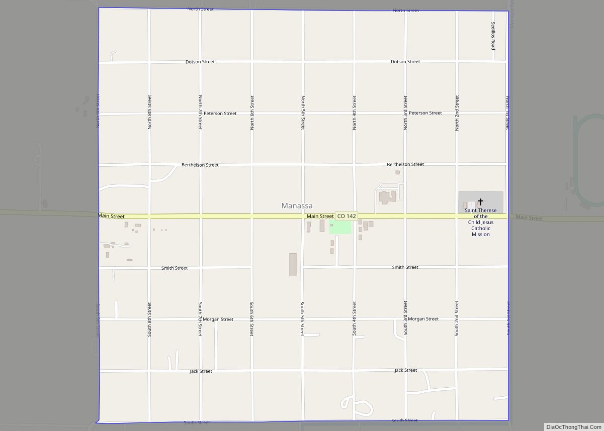
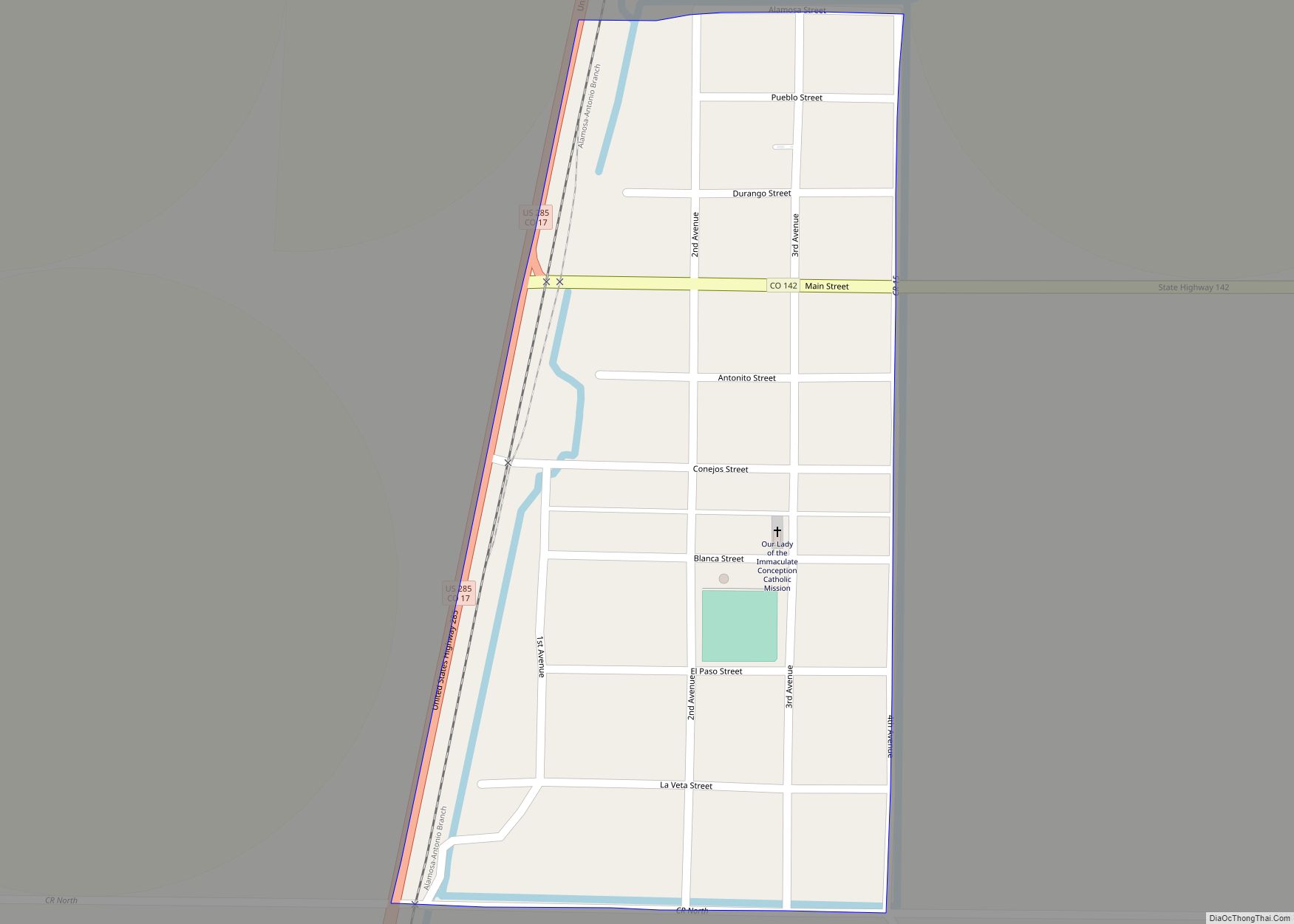
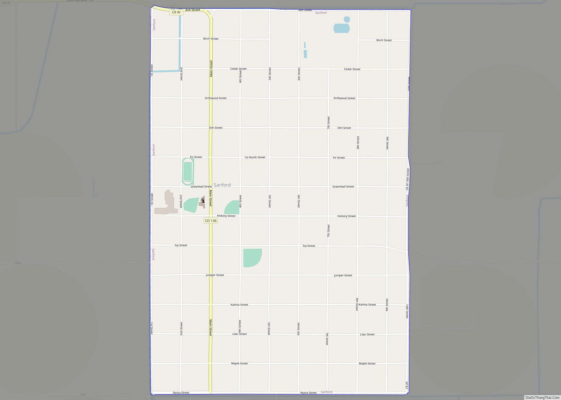
Online Interactive Map
Click on ![]() to view map in "full screen" mode.
to view map in "full screen" mode.
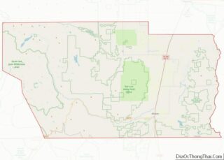
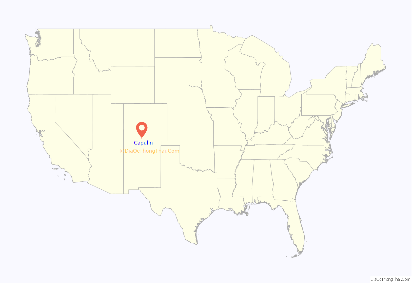
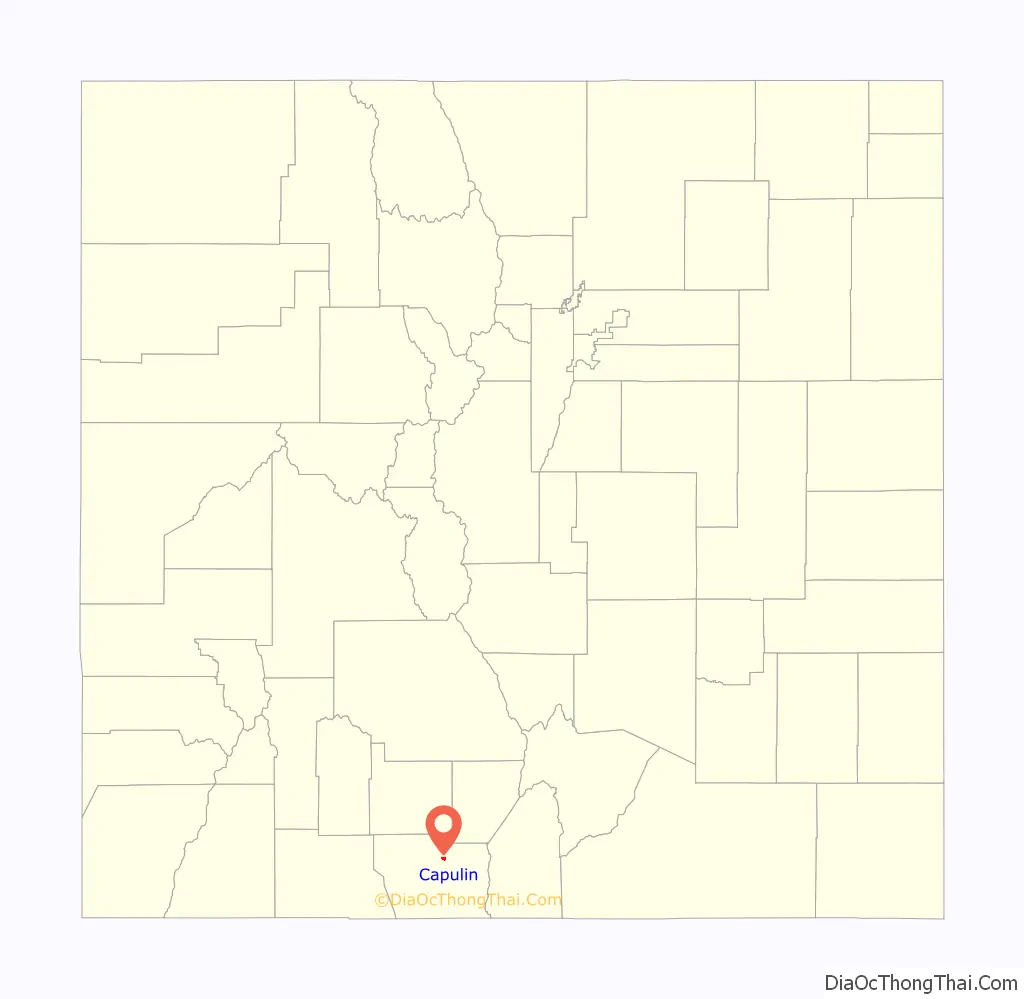
Capulin location map. Where is Capulin CDP?
History
The town of Capulin was established by settlers from Ojo Caliente, New Mexico, in 1867. “Capulin” is a regional word for chokecherry. The Capulin Post Office opened on August 10, 1881.
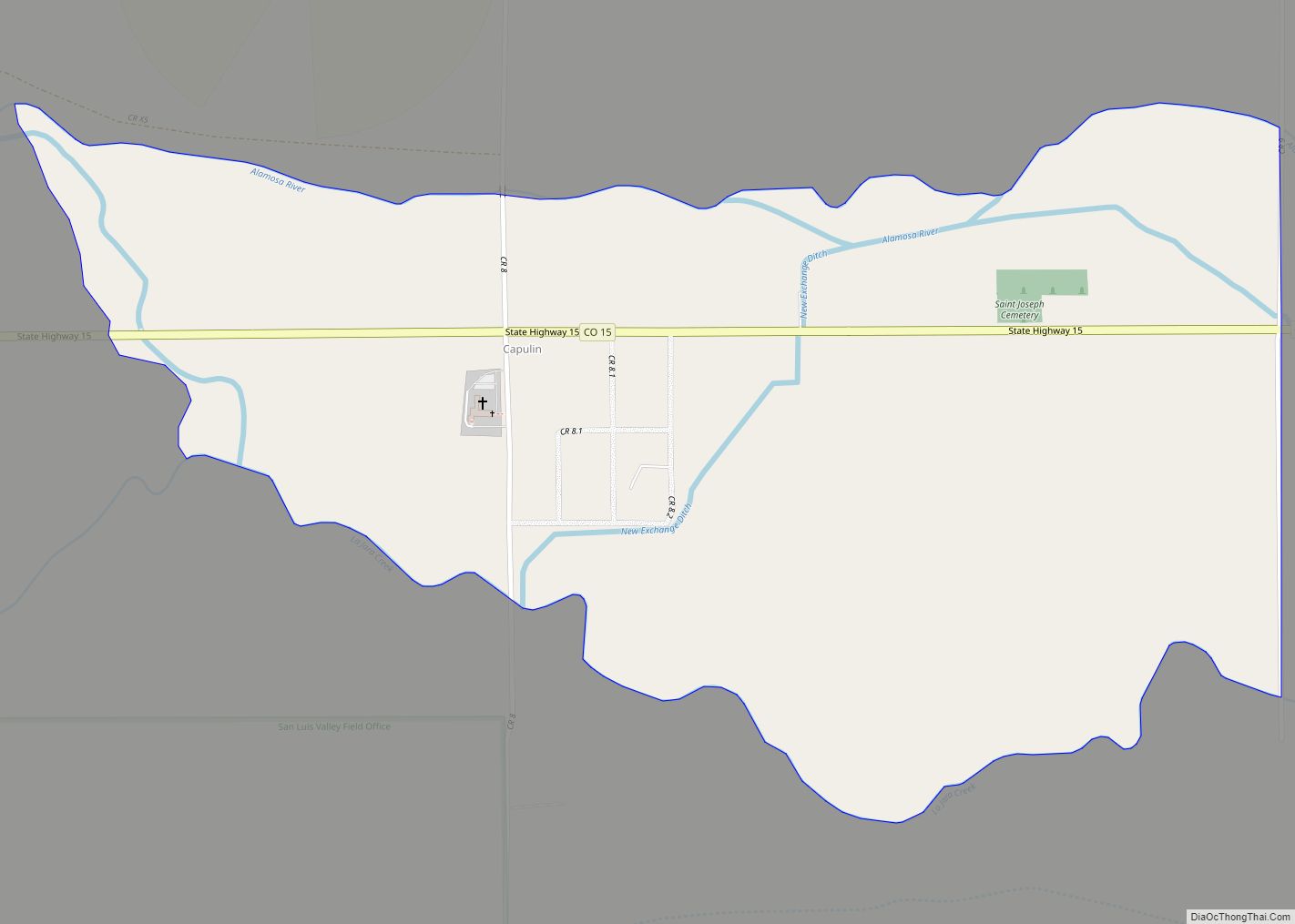
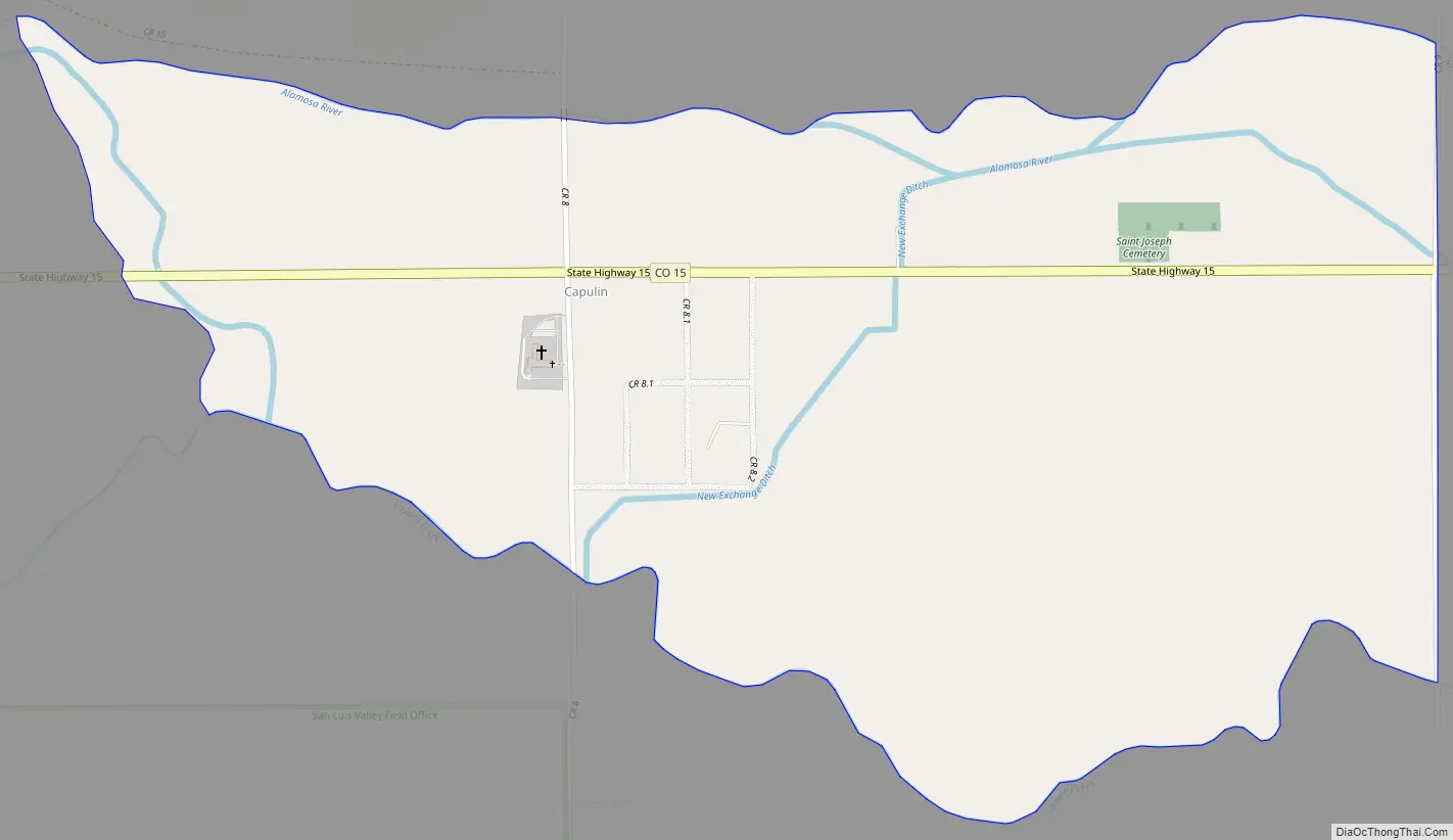
Capulin Road Map
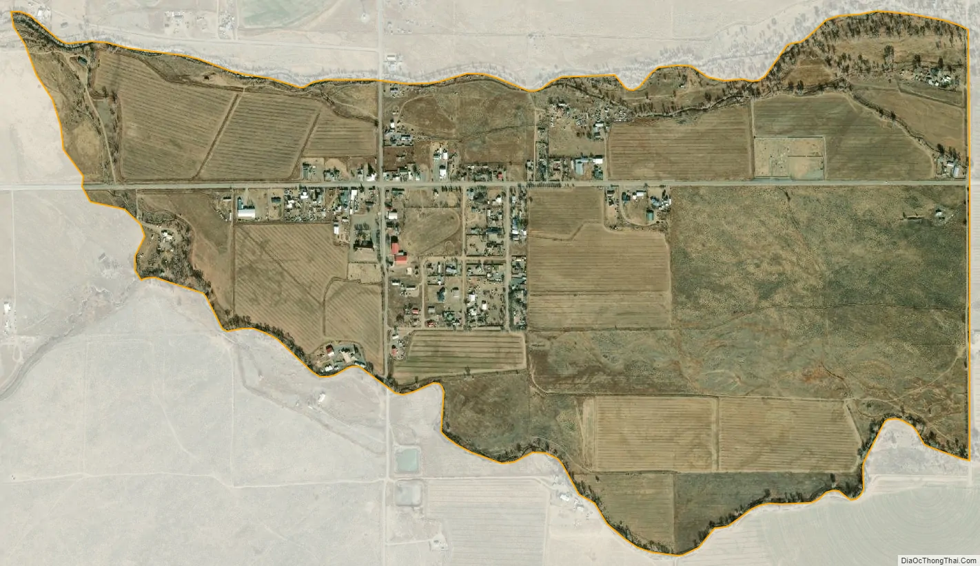
Capulin city Satellite Map
Geography
Capulin is located in northern Conejos County. Colorado State Highway 15 leads east 8 miles (13 km) to U.S. Route 285, just north of La Jara, and west then north 22 miles (35 km) to Monte Vista.
The Capulin CDP has an area of 606 acres (2.453 km), all land.
See also
Map of Colorado State and its subdivision:- Adams
- Alamosa
- Arapahoe
- Archuleta
- Baca
- Bent
- Boulder
- Broomfield
- Chaffee
- Cheyenne
- Clear Creek
- Conejos
- Costilla
- Crowley
- Custer
- Delta
- Denver
- Dolores
- Douglas
- Eagle
- El Paso
- Elbert
- Fremont
- Garfield
- Gilpin
- Grand
- Gunnison
- Hinsdale
- Huerfano
- Jackson
- Jefferson
- Kiowa
- Kit Carson
- La Plata
- Lake
- Larimer
- Las Animas
- Lincoln
- Logan
- Mesa
- Mineral
- Moffat
- Montezuma
- Montrose
- Morgan
- Otero
- Ouray
- Park
- Phillips
- Pitkin
- Prowers
- Pueblo
- Rio Blanco
- Rio Grande
- Routt
- Saguache
- San Juan
- San Miguel
- Sedgwick
- Summit
- Teller
- Washington
- Weld
- Yuma
- Alabama
- Alaska
- Arizona
- Arkansas
- California
- Colorado
- Connecticut
- Delaware
- District of Columbia
- Florida
- Georgia
- Hawaii
- Idaho
- Illinois
- Indiana
- Iowa
- Kansas
- Kentucky
- Louisiana
- Maine
- Maryland
- Massachusetts
- Michigan
- Minnesota
- Mississippi
- Missouri
- Montana
- Nebraska
- Nevada
- New Hampshire
- New Jersey
- New Mexico
- New York
- North Carolina
- North Dakota
- Ohio
- Oklahoma
- Oregon
- Pennsylvania
- Rhode Island
- South Carolina
- South Dakota
- Tennessee
- Texas
- Utah
- Vermont
- Virginia
- Washington
- West Virginia
- Wisconsin
- Wyoming