Castle Rock is a home rule town that is the county seat and the most populous municipality of Douglas County, Colorado, United States. The town population was 73,158 at the 2020 United States Census, a 51.68% increase since the 2010 United States Census. Castle Rock is the most populous Colorado town (rather than city) and the 16th most populous Colorado municipality. Castle Rock is a part of the Denver-Aurora-Lakewood, CO Metropolitan Statistical Area and the Front Range Urban Corridor.
The town is named for the prominent, castle-shaped butte near the center of town.
| Name: | Castle Rock town |
|---|---|
| LSAD Code: | 43 |
| LSAD Description: | town (suffix) |
| State: | Colorado |
| County: | Douglas County |
| Founded: | 1874 |
| Elevation: | 6,224 ft (1,897 m) |
| Total Area: | 34.290 sq mi (88.811 km²) |
| Land Area: | 34.290 sq mi (88.811 km²) |
| Water Area: | 0.000 sq mi (0.000 km²) |
| Total Population: | 73,158 |
| Population Density: | 2,134/sq mi (824/km²) |
| Area code: | 303 & 720 |
| FIPS code: | 0812415 |
| Website: | www.crgov.com |
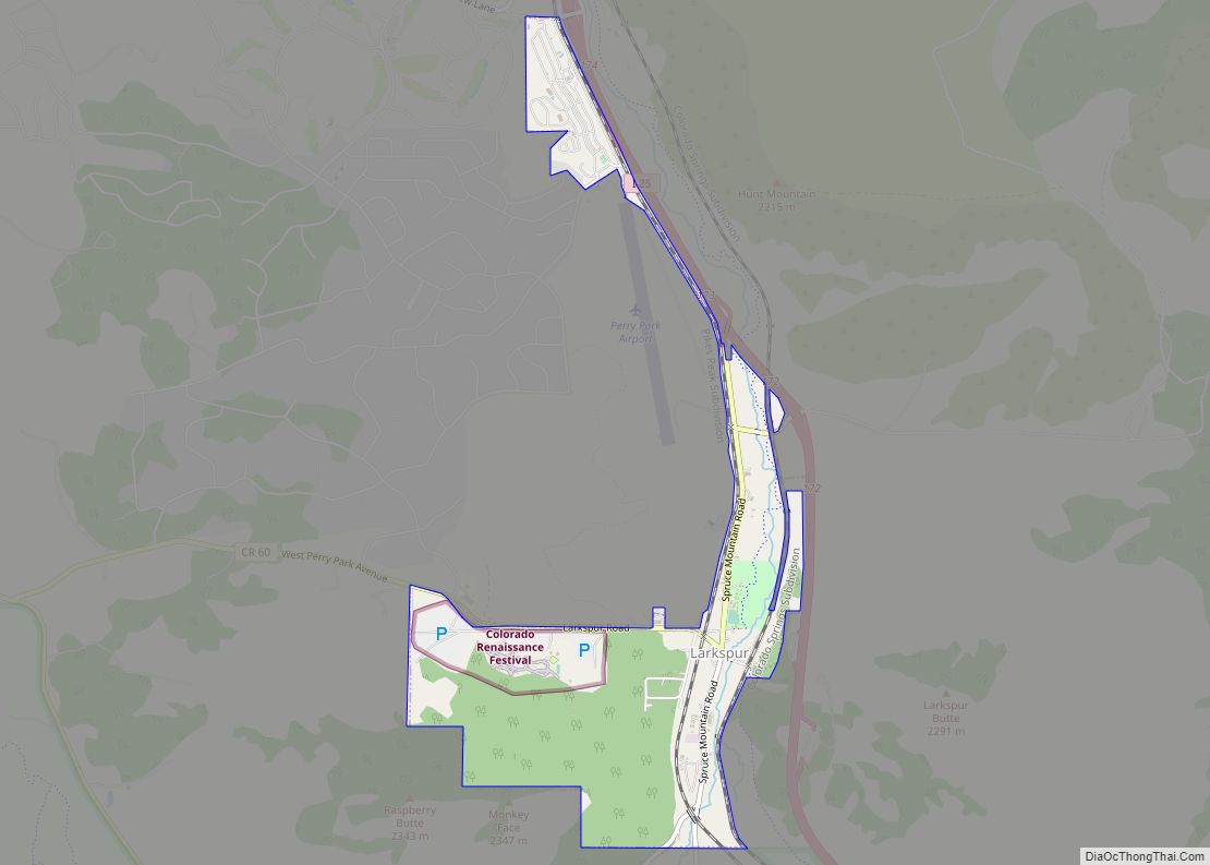
Online Interactive Map
Click on ![]() to view map in "full screen" mode.
to view map in "full screen" mode.
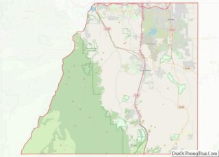
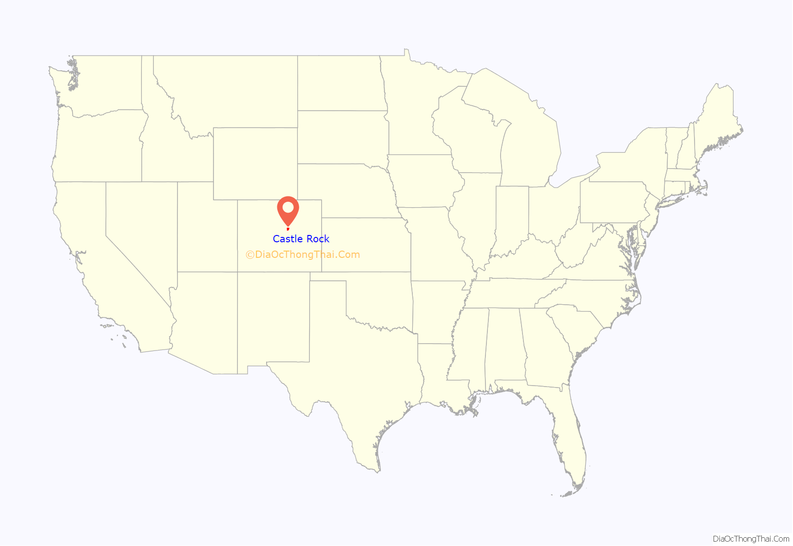
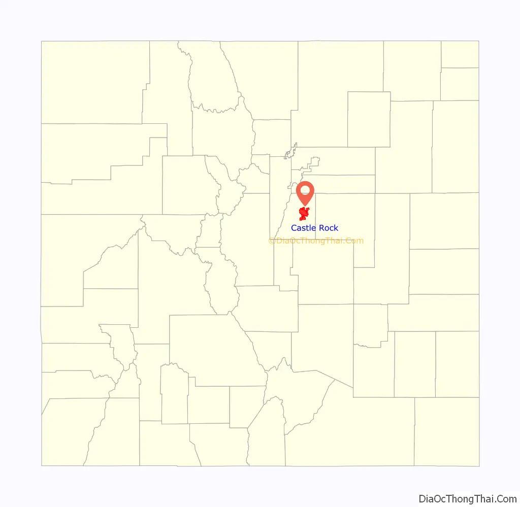
Castle Rock location map. Where is Castle Rock town?
History
The region in and around Castle Rock was originally home to the Arapaho and Cheyenne peoples. They occupied the land between the Arkansas and South Platte Rivers.
White settlers were drawn to the area by rumors of gold and by land opened through the Homestead Act of 1862. However, the discovery of rhyolite stone, not gold, ultimately led to the settlement of Castle Rock.
Castle Rock was founded in 1874 when the eastern Douglas County border was redrawn to its present location. Castle Rock was chosen as the county seat because of its central location.
One of the first homesteaders in the area near today’s Castle Rock was Jeremiah Gould. He owned about 160 acres (0.65 km) to the south of “the (Castle) Rock.” At that time, the settlement consisted of just a few buildings for prospectors, workers, and cowboys. In 1874, Gould donated 120 acres (0.49 km) to the new town, which was also now home to the Douglas County government. Six streets named Elbert, Jerry, Wilcox, Perry, Castle, and Front were laid out to build the actual town of Castle Rock. The courthouse square was defined and about 77 lots, each 50 by 112 feet (34 m), were auctioned off for a total profit of US$3,400.
A new train depot brought the Denver and Rio Grande Railway to the area.
During the late 1800s and early 1900s, Castle Rock had a very active rhyolite quarrying industry. Many immigrants arrived in the area to work in the quarries.
In 1936, the town received a donation of land that included its namesake geographical feature. Men employed by the Works Progress Administration constructed a star atop the butte shortly after Castle Rock received that donation. The star was lit every year from 1936 to 1941. After World War II began, the star was left unlit as a symbol of sacrifice in support of the war effort. On August 14, 1945, shortly after V-J Day, the star was modified into a V-for-victory symbol. On December 7, 1945, the star was lit for the holiday season. It has been lit every year since around the same time.
The town’s historic county courthouse, which was built in 1889–1890, burned down on March 11, 1978, the result of arson.
Castle Rock’s municipal government experienced significant financial difficulties during the early 1980s. In 1984, the town’s voters approved a charter amendment that authorized the creation of a home-rule charter commission. The home-rule charter was finalized in 1987.
The original Douglas County courthouse was one of seven buildings in Castle Rock that have been added to the National Register of Historic Places. The other buildings include Castle Rock Depot, Castle Rock Elementary School, First National Bank of Douglas County, Samuel Dyer House, Benjamin Hammer House, and Keystone Hotel.
A dispute about whether the Castle Rock Police Department was required to enforce a civil restraining order was decided by the U.S. Supreme Court in 2005. The court held, in Town of Castle Rock v. Gonzales, that a municipality cannot be held liable under a federal civil-rights statute, 42 U.S.C. § 1983, for failing to enforce civil restraining orders. The case had arisen from a 1999 murder of three young girls by their father outside the Castle Rock Police Department building. The children were abducted by their father, in violation of the restraining order that had been obtained by their mother, within several hours of being killed. The mother had asked the Castle Rock police to enforce the restraining order, by finding and apprehending the father after he removed the children from her home and before the murders. Castle Rock police officers declined to do so, refusing even to contact the Denver Police Department after the mother notified them that the father had taken the children to an amusement park in that city.
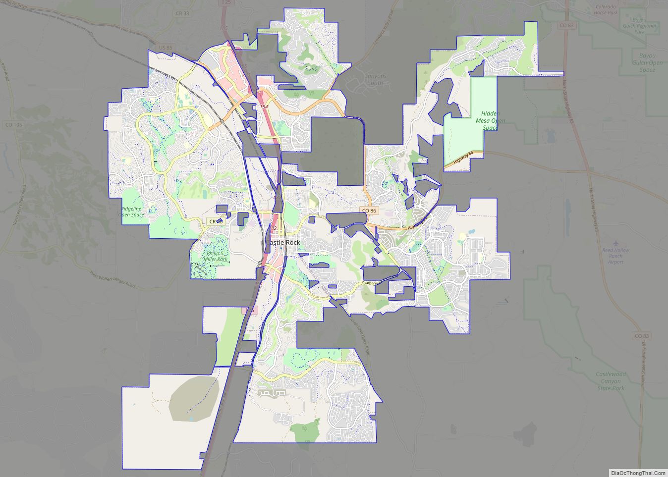
Castle Rock Road Map
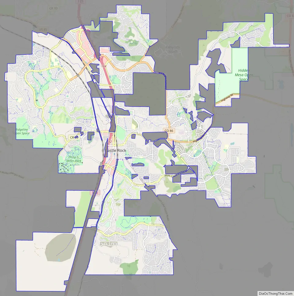
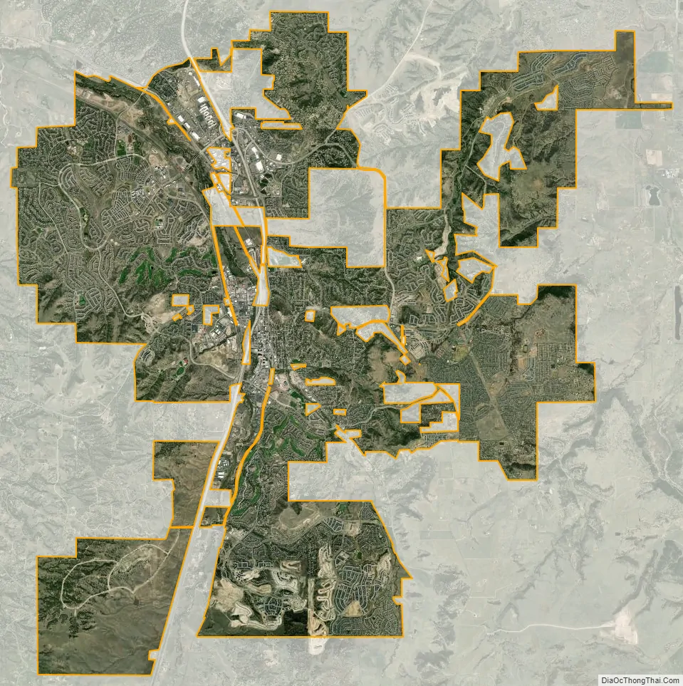
Castle Rock city Satellite Map
Geography
Castle Rock is located at 39°22′20″N 104°51′22″W / 39.37222°N 104.85611°W / 39.37222; -104.85611 (39.372212, −104.856090) at an elevation of 6,224 feet (1,897 m). Castle Rock is in central Colorado at the junction of Interstate 25 and State Highway 86, 28 mi (45 km) south of downtown Denver and 37 mi (60 km) north of Colorado Springs.
The town lies a few miles east of the Rampart Range of the Rocky Mountains on the western edge of the Great Plains. Castle Rock, the butte for which the town is named, is just north of the town center. Other prominent landforms visible from Castle Rock include Dawson Butte, Devils Head, Mount Evans, and Pikes Peak.
East Plum Creek, a stream within the South Platte River watershed, flows generally north through Castle Rock. Hangman’s Gulch, which runs northwest then west around the north side of the town center, drains into East Plum Creek, as do multiple unnamed gulches in the southern and western areas of town. McMurdo Gulch and Mitchell Gulch run north then northeast through eastern Castle Rock and drain into Cherry Creek east of town.
Castle Rock is in the Colorado Foothills Life Zone. The hillsides are covered with meadows of grass, small plants, scattered juniper trees and open ponderosa pine woodlands. Other trees common in the area include Gambel oak (scrub oak or oak brush) and pinyon pine. Local wildlife includes the American badger, American black bear, bobcat, coyote, Colorado chipmunk, crow, garter snakes, gray fox, mountain cottontail rabbit, mountain lion, mule deer, pocket gopher, porcupine, skunk, and tadpoles. Birds found in the area include the golden eagle, peregrine falcon, sharp-shinned hawk, black-billed magpie, red-tailed hawk, pinyon jay, and western tanager.
At the 2020 United States Census, the town had a total area of 21,946 acres (88.811 km), all of it land.
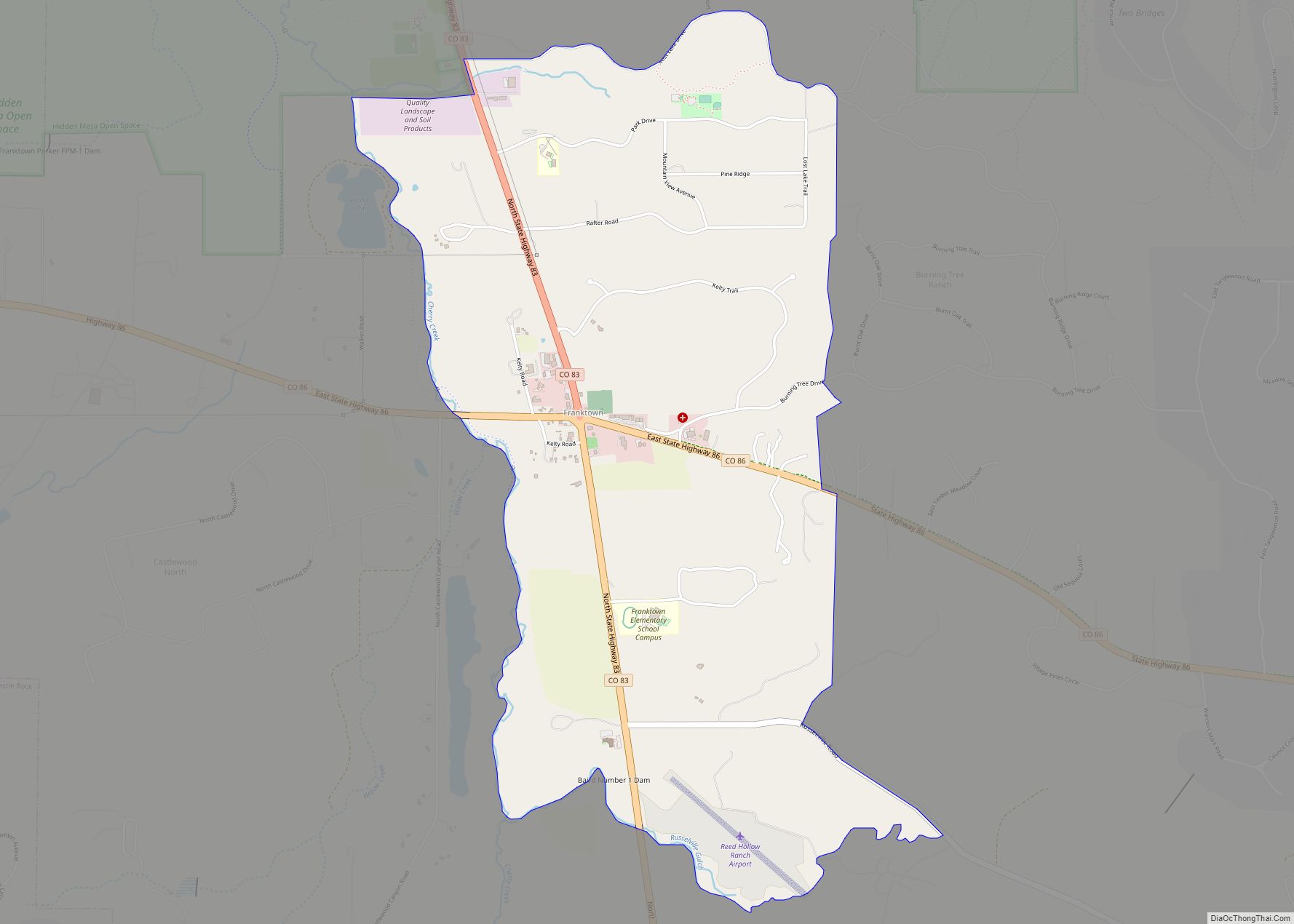
Lying within the Front Range Urban Corridor, the town is part of the greater Denver metropolitan area. Castle Rock borders three communities, all to its north; from west to east, they are Castle Pines Village, the city of Castle Pines, and The Pinery. Other nearby communities include Franktown to the east, Larkspur to the south, Perry Park to the southwest, and Sedalia to the northwest.
Climate
Castle Rock has a semiarid climate (Köppen BSk) with cold, dry, snowy winters, and hot, wetter summers. January is the coldest month, July the hottest, and August the month with the most precipitation.
Statewide, Colorado has experienced an average temperature increase of about 2.5 °F (1.4 °C) over the past half-century. Given its location in the center of the state, it is expected that Castle Rock will experience continuing warming and higher average temperatures through the 21st century as the effects of climate change continue to be felt. Daily minimum temperatures are also expected to continue rising, as they have for the past 30 years. The town will also likely experience less snowfall, earlier snowmelt and runoff during the spring, and increased water uptake by plants.
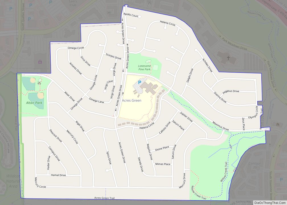
Neighborhoods
Castle Rock’s ZIP codes include many neighborhoods:
Castle Rock encompasses about 35 square miles (91 km), with a population of more than 42,000 in town and 70,000 in the surrounding area.
See also
Map of Colorado State and its subdivision:- Adams
- Alamosa
- Arapahoe
- Archuleta
- Baca
- Bent
- Boulder
- Broomfield
- Chaffee
- Cheyenne
- Clear Creek
- Conejos
- Costilla
- Crowley
- Custer
- Delta
- Denver
- Dolores
- Douglas
- Eagle
- El Paso
- Elbert
- Fremont
- Garfield
- Gilpin
- Grand
- Gunnison
- Hinsdale
- Huerfano
- Jackson
- Jefferson
- Kiowa
- Kit Carson
- La Plata
- Lake
- Larimer
- Las Animas
- Lincoln
- Logan
- Mesa
- Mineral
- Moffat
- Montezuma
- Montrose
- Morgan
- Otero
- Ouray
- Park
- Phillips
- Pitkin
- Prowers
- Pueblo
- Rio Blanco
- Rio Grande
- Routt
- Saguache
- San Juan
- San Miguel
- Sedgwick
- Summit
- Teller
- Washington
- Weld
- Yuma
- Alabama
- Alaska
- Arizona
- Arkansas
- California
- Colorado
- Connecticut
- Delaware
- District of Columbia
- Florida
- Georgia
- Hawaii
- Idaho
- Illinois
- Indiana
- Iowa
- Kansas
- Kentucky
- Louisiana
- Maine
- Maryland
- Massachusetts
- Michigan
- Minnesota
- Mississippi
- Missouri
- Montana
- Nebraska
- Nevada
- New Hampshire
- New Jersey
- New Mexico
- New York
- North Carolina
- North Dakota
- Ohio
- Oklahoma
- Oregon
- Pennsylvania
- Rhode Island
- South Carolina
- South Dakota
- Tennessee
- Texas
- Utah
- Vermont
- Virginia
- Washington
- West Virginia
- Wisconsin
- Wyoming