Castle Pines Village, also known as The Village at Castle Pines or The Village, is an unincorporated community and a census-designated place (CDP) located in and governed by Douglas County, Colorado, United States. The CDP is a part of the Denver–Aurora–Lakewood, CO Metropolitan Statistical Area. The population of the Castle Pines Village CDP was 4,327 at the United States Census 2020. Douglas County governs the unincorporated community and the Castle Pines Metropolitan District provides services. The Castle Rock post office (Zip Code 80108) serves the area.
| Name: | Castle Pines Village CDP |
|---|---|
| LSAD Code: | 57 |
| LSAD Description: | CDP (suffix) |
| State: | Colorado |
| County: | Douglas County |
| Founded: | 1981 |
| Elevation: | 6,329 ft (1,929 m) |
| Total Area: | 4.453 sq mi (11.532 km²) |
| Land Area: | 4.453 sq mi (11.532 km²) |
| Water Area: | 0.000 sq mi (0.000 km²) |
| Total Population: | 4,327 |
| Population Density: | 970/sq mi (380/km²) |
| ZIP code: | Castle Rock 80108 |
| FIPS code: | 0812393 |
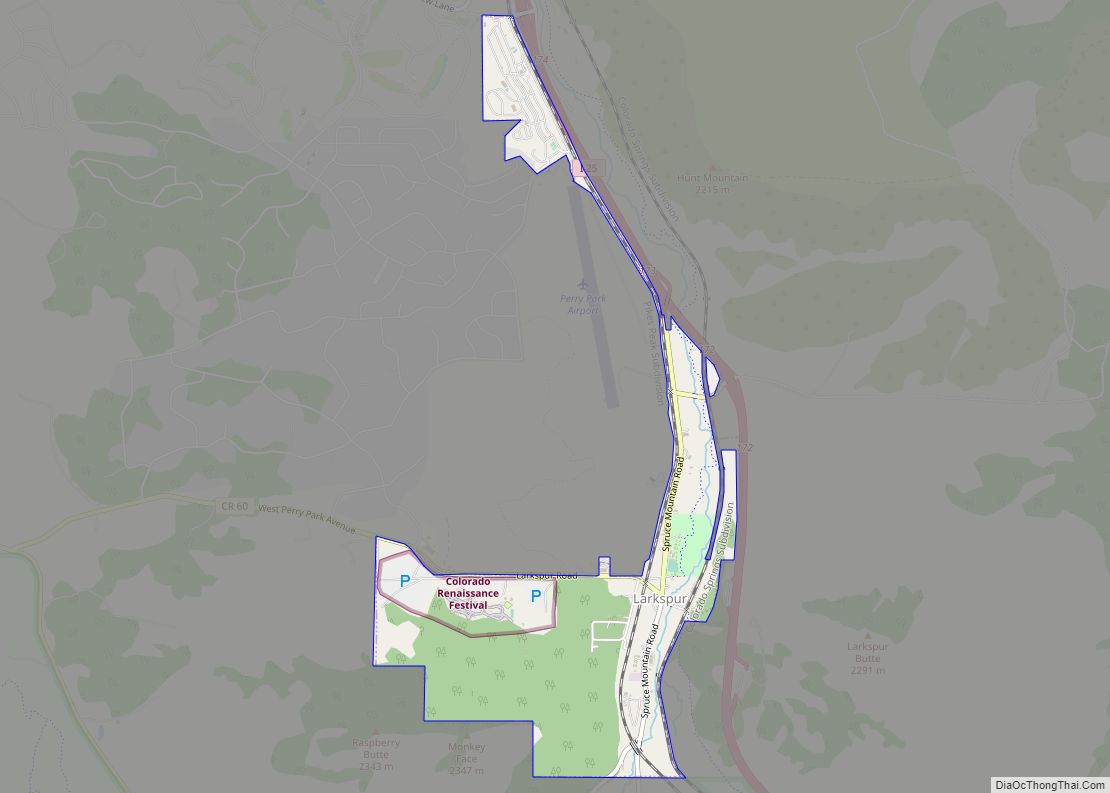
Online Interactive Map
Click on ![]() to view map in "full screen" mode.
to view map in "full screen" mode.
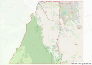
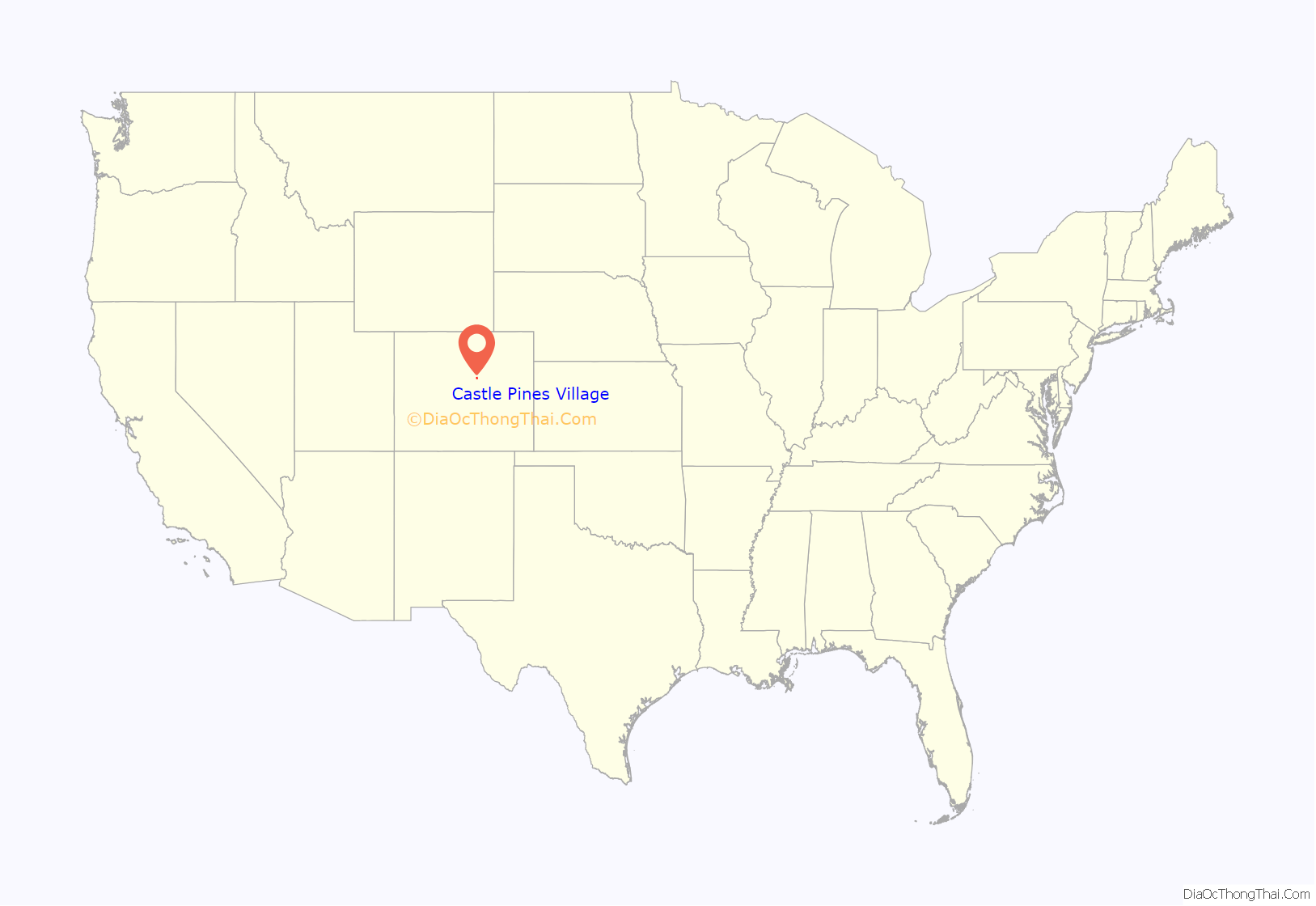
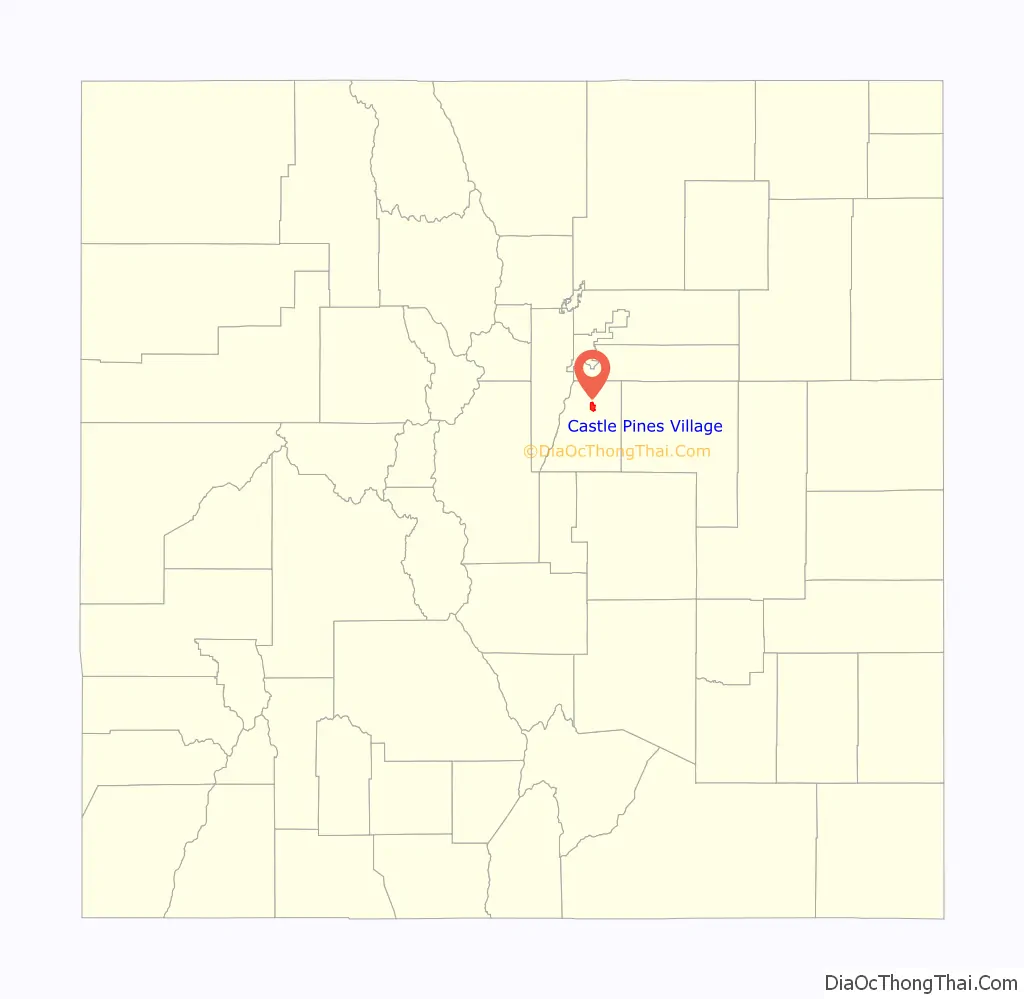
Castle Pines Village location map. Where is Castle Pines Village CDP?
History
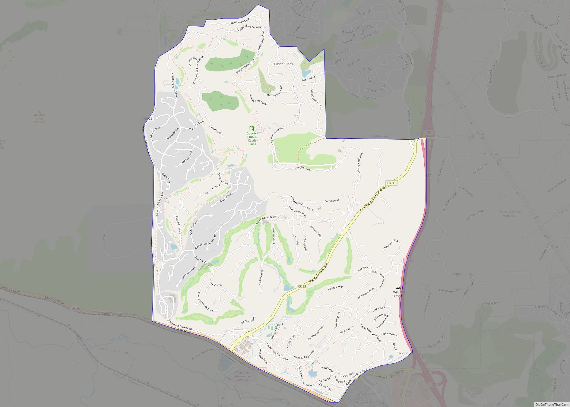
Castle Pines Village was founded as a gated residential community and lies at an elevation of 6,000 to 6,500 feet (1,800 to 2,000 m) along the Front Range of the Rocky Mountains. It is the northernmost incidence of tablelands along the Front Range with views of Pikes Peak, Mount Evans and the Rocky Mountains. The community surrounds the Castle Pines Golf Club and the Country Club at Castle Pines.
Castle Pines Golf Club, founded by Jack A. Vickers and designed by Jack Nicklaus, opened in 1981. The International professional golf tournament was an annual PGA Tour event contested at Castle Pines Golf Club from 1986 through 2006.
On September 11, 2018, the Castle Pines Homes Association changed the name of the community to The Village at Castle Pines to better distinguish the community from the neighboring areas.
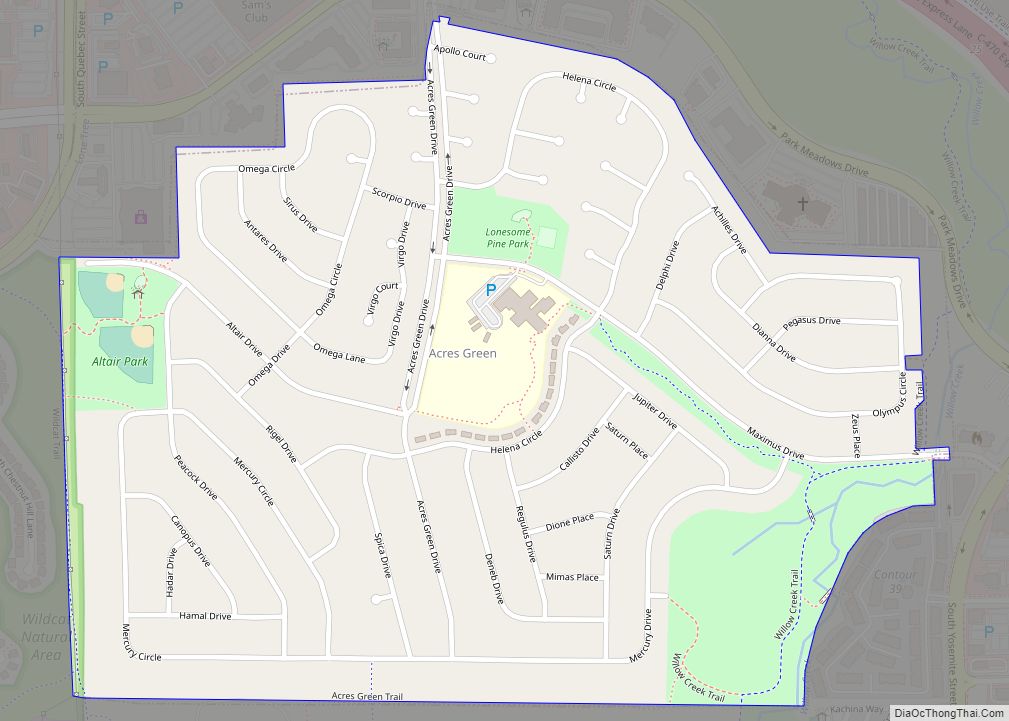
Castle Pines Village Road Map

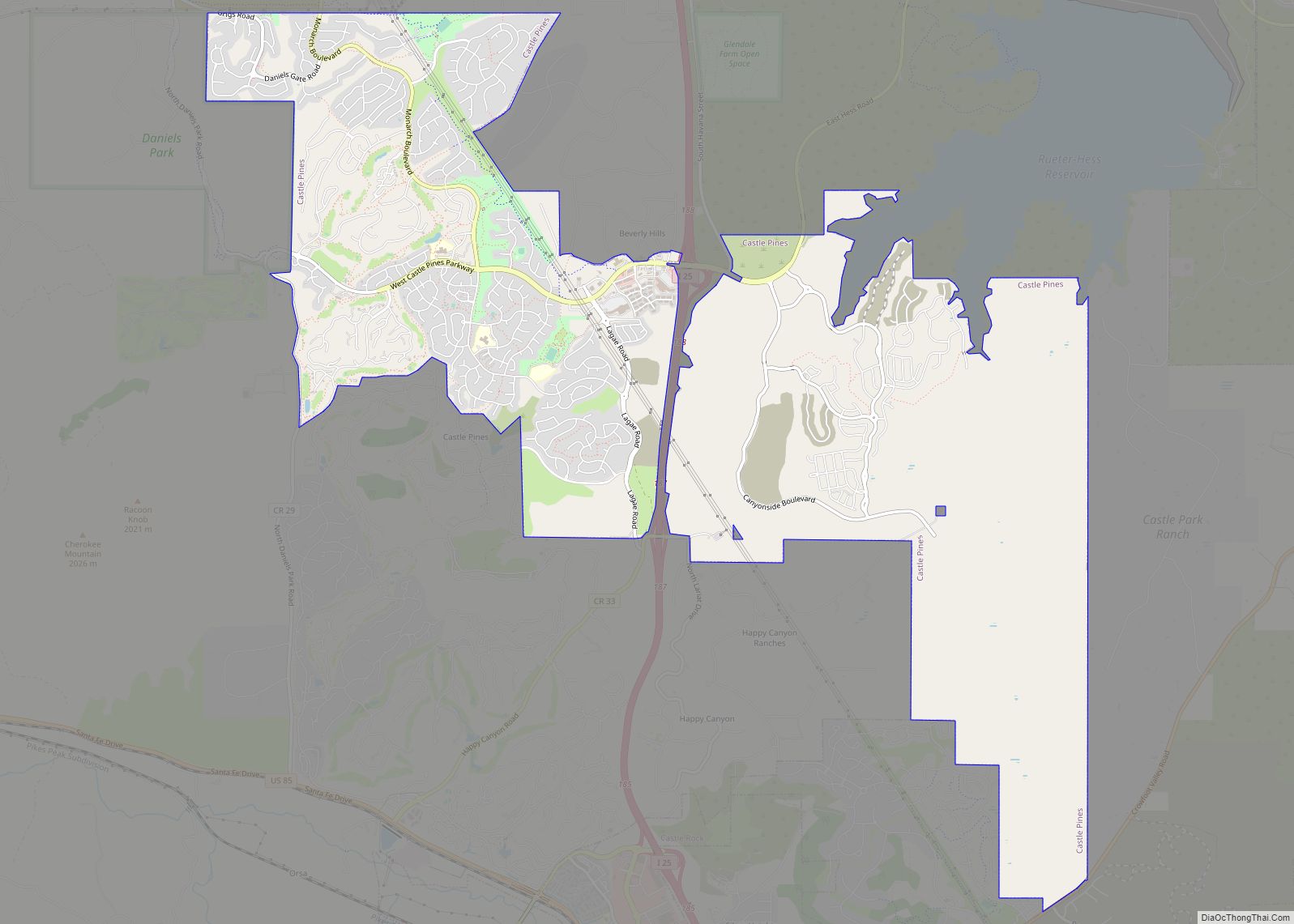
Castle Pines Village city Satellite Map

Geography
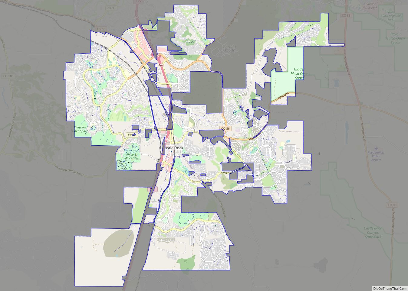
Castle Pines Village is bordered to the north by the City of Castle Pines and to the south by the town of Castle Rock, the Douglas County seat. The community surrounds the Castle Pines Golf Club and the Country Club at Castle Pines.
The Castle Pines Village CDP has an area of 2,850 acres (11.532 km), all land.
See also
Map of Colorado State and its subdivision:- Adams
- Alamosa
- Arapahoe
- Archuleta
- Baca
- Bent
- Boulder
- Broomfield
- Chaffee
- Cheyenne
- Clear Creek
- Conejos
- Costilla
- Crowley
- Custer
- Delta
- Denver
- Dolores
- Douglas
- Eagle
- El Paso
- Elbert
- Fremont
- Garfield
- Gilpin
- Grand
- Gunnison
- Hinsdale
- Huerfano
- Jackson
- Jefferson
- Kiowa
- Kit Carson
- La Plata
- Lake
- Larimer
- Las Animas
- Lincoln
- Logan
- Mesa
- Mineral
- Moffat
- Montezuma
- Montrose
- Morgan
- Otero
- Ouray
- Park
- Phillips
- Pitkin
- Prowers
- Pueblo
- Rio Blanco
- Rio Grande
- Routt
- Saguache
- San Juan
- San Miguel
- Sedgwick
- Summit
- Teller
- Washington
- Weld
- Yuma
- Alabama
- Alaska
- Arizona
- Arkansas
- California
- Colorado
- Connecticut
- Delaware
- District of Columbia
- Florida
- Georgia
- Hawaii
- Idaho
- Illinois
- Indiana
- Iowa
- Kansas
- Kentucky
- Louisiana
- Maine
- Maryland
- Massachusetts
- Michigan
- Minnesota
- Mississippi
- Missouri
- Montana
- Nebraska
- Nevada
- New Hampshire
- New Jersey
- New Mexico
- New York
- North Carolina
- North Dakota
- Ohio
- Oklahoma
- Oregon
- Pennsylvania
- Rhode Island
- South Carolina
- South Dakota
- Tennessee
- Texas
- Utah
- Vermont
- Virginia
- Washington
- West Virginia
- Wisconsin
- Wyoming