The City of Castle Pines is a home rule municipality located in Douglas County, Colorado, United States. The city population was 11,036 at the 2020 United States Census. Castle Pines is a part of the Denver–Aurora–Lakewood, CO Metropolitan Statistical Area and the Front Range Urban Corridor. The city is located north of the Town of Castle Rock and south of the City of Lone Tree, Colorado.
| Name: | Castle Pines city |
|---|---|
| LSAD Code: | 25 |
| LSAD Description: | city (suffix) |
| State: | Colorado |
| County: | Douglas County |
| Incorporated: | November 6, 2007 |
| Elevation: | 6,368 ft (1,941 m) |
| Total Area: | 9.594 sq mi (24.849 km²) |
| Land Area: | 9.594 sq mi (24.849 km²) |
| Water Area: | 0.000 sq mi (0.000 km²) |
| Total Population: | 11,036 |
| Population Density: | 1,150/sq mi (440/km²) |
| ZIP code: | 80108 |
| Area code: | 303, 720 |
| FIPS code: | 0812387 |
| Website: | www.castlepinesgov.com |
Online Interactive Map
Click on ![]() to view map in "full screen" mode.
to view map in "full screen" mode.
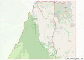
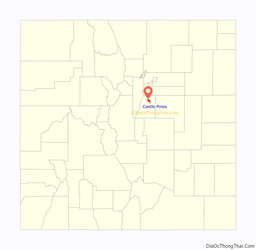
Castle Pines location map. Where is Castle Pines city?

History
The “City of Castle Pines North” was approved by popular vote on November 6, 2007, and officially incorporated with the first election of municipal officers on February 12, 2008. At the time of incorporation, Castle Pines was Douglas County’s first new city since 1995, and Colorado’s 271st municipality. The city’s stated vision is to “Enhance our community’s unique character by ensuring excellent infrastructure, safe neighborhoods, maximum citizen participation and conscientious development that balances open space, residential and commercial uses.”
The “City of Castle Pines North” was officially renamed the “City of Castle Pines” by popular vote on November 2, 2010.
The city originally incorporated as a statutory city and on May 14, 2019, residents voted in favor of home rule and now follows the Council-manager government system.
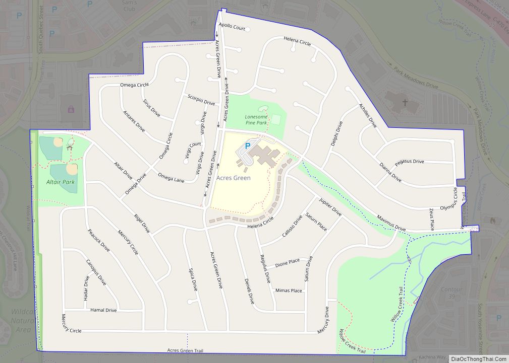
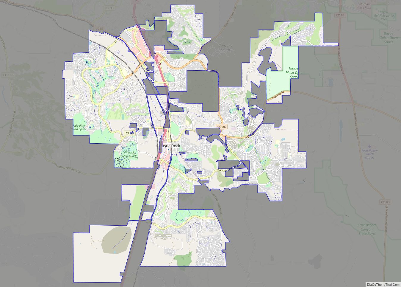
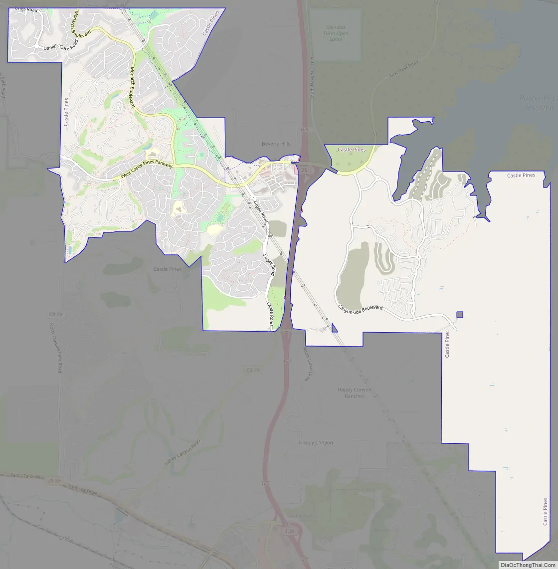
Castle Pines Road Map
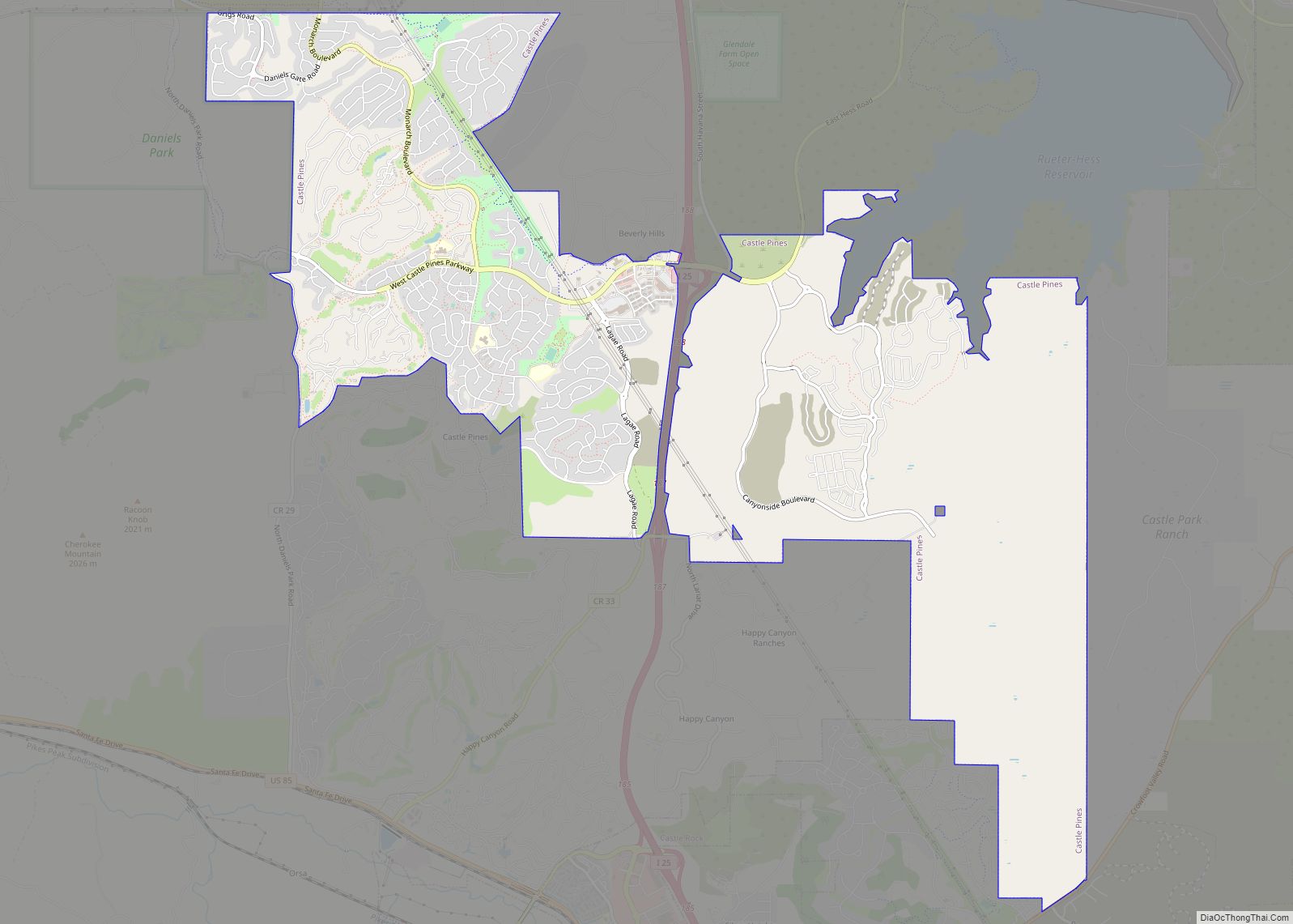
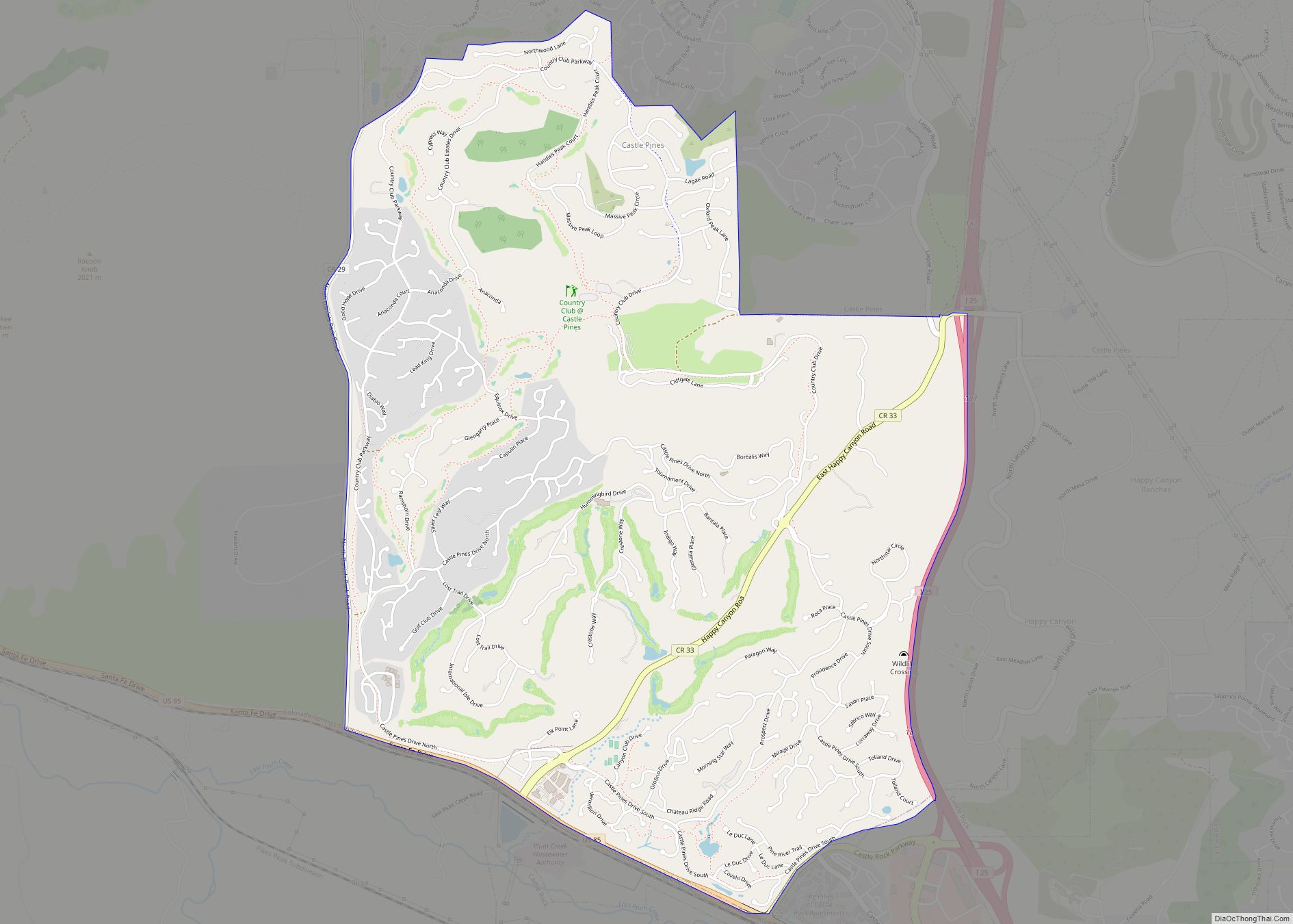
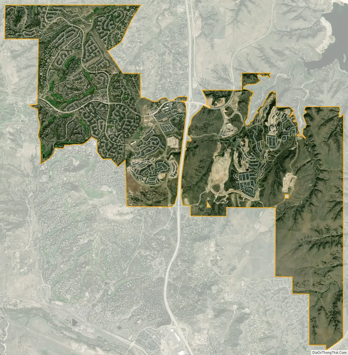
Castle Pines city Satellite Map
Geography
Castle Pines is located at 39°28′18″N 104°53′41″W / 39.471742°N 104.894827°W / 39.471742; -104.894827 (39.471742, -104.894827) at an elevation of 6,368 feet (1,941 m). Located on Interstate 25 in central Colorado, Castle Pines is 20 mi (32 km) south of downtown Denver and 43 mi (69 km) north of Colorado Springs.
The city lies in the Colorado Piedmont on the western edge of the Great Plains. Happy Canyon Creek runs north-northeast through the western part of the city, and Newlin Gulch and its tributary, South Newlin Gulch, run north-northeast and north, respectively, through the eastern part of the city. All three streams are part of the Cherry Creek watershed.
At the 2020 United States Census, the city had a total area of 6,140 acres (24.849 km), all of it land.
Lying within the Front Range Urban Corridor, the city is part of the greater Denver metropolitan area, and it borders two communities to its south: Castle Pines Village and Castle Rock, the county seat.
See also
Map of Colorado State and its subdivision:- Adams
- Alamosa
- Arapahoe
- Archuleta
- Baca
- Bent
- Boulder
- Broomfield
- Chaffee
- Cheyenne
- Clear Creek
- Conejos
- Costilla
- Crowley
- Custer
- Delta
- Denver
- Dolores
- Douglas
- Eagle
- El Paso
- Elbert
- Fremont
- Garfield
- Gilpin
- Grand
- Gunnison
- Hinsdale
- Huerfano
- Jackson
- Jefferson
- Kiowa
- Kit Carson
- La Plata
- Lake
- Larimer
- Las Animas
- Lincoln
- Logan
- Mesa
- Mineral
- Moffat
- Montezuma
- Montrose
- Morgan
- Otero
- Ouray
- Park
- Phillips
- Pitkin
- Prowers
- Pueblo
- Rio Blanco
- Rio Grande
- Routt
- Saguache
- San Juan
- San Miguel
- Sedgwick
- Summit
- Teller
- Washington
- Weld
- Yuma
- Alabama
- Alaska
- Arizona
- Arkansas
- California
- Colorado
- Connecticut
- Delaware
- District of Columbia
- Florida
- Georgia
- Hawaii
- Idaho
- Illinois
- Indiana
- Iowa
- Kansas
- Kentucky
- Louisiana
- Maine
- Maryland
- Massachusetts
- Michigan
- Minnesota
- Mississippi
- Missouri
- Montana
- Nebraska
- Nevada
- New Hampshire
- New Jersey
- New Mexico
- New York
- North Carolina
- North Dakota
- Ohio
- Oklahoma
- Oregon
- Pennsylvania
- Rhode Island
- South Carolina
- South Dakota
- Tennessee
- Texas
- Utah
- Vermont
- Virginia
- Washington
- West Virginia
- Wisconsin
- Wyoming