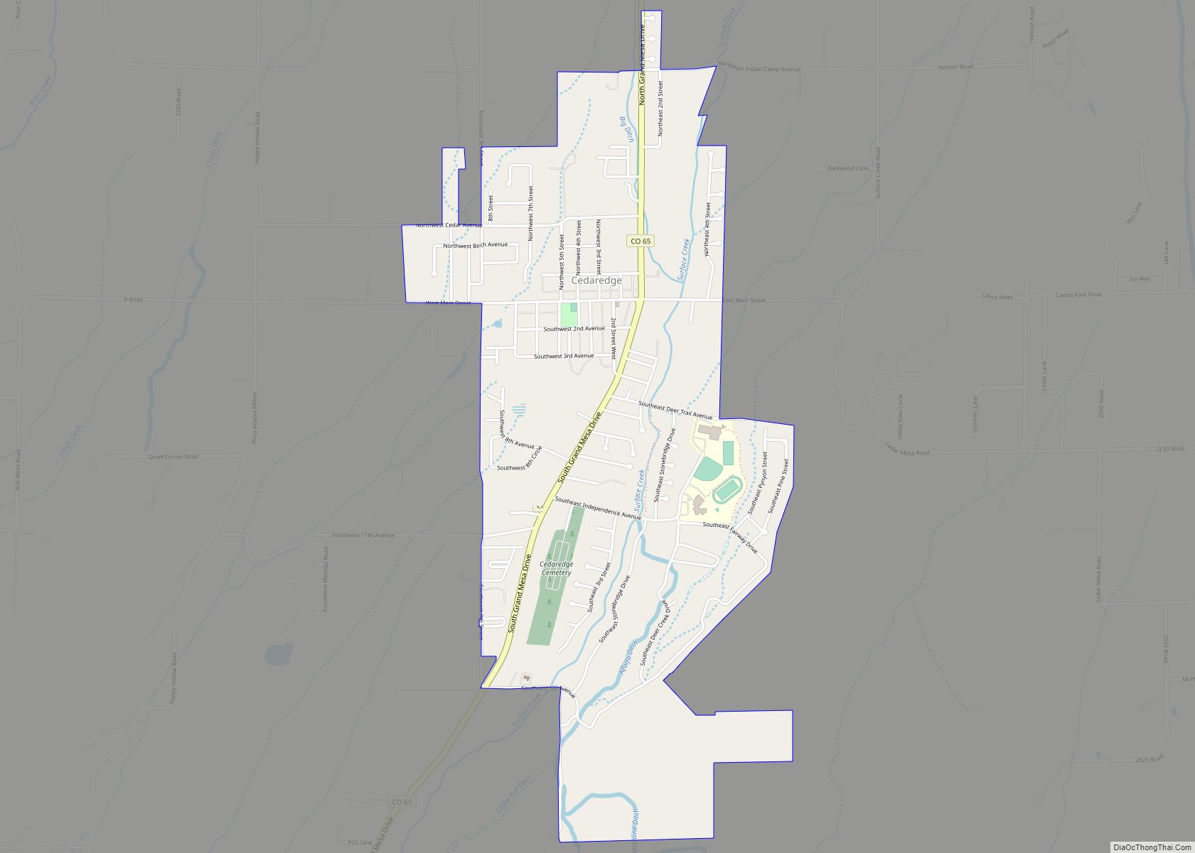
The Town of Cedaredge is a home rule municipality located in Delta County, Colorado, United States. The town population was 2,279 at the 2020 United States Census. Cedaredge sits in the Surface Creek Valley beneath the southern slopes of the Grand Mesa, the largest mesa in the world. Its elevated vantage point affords southern views of the San Juan Mountains, the Black Canyon of the Gunnison National Park, and the communities of Delta, Olathe, and Montrose. Cedaredge is a small, agricultural community which produces beef cattle, elk, apples, peaches, and wine from the region’s few basic vineyards. Tourist attractions include Cedaredge Golf Club, Historic Pioneer Town, and an art gallery and craft store housed in a renovated apple packing shed. Regional sporting activities include camping, trophy hunting, hiking and Gold Medal fishing at more than 250 lakes on the Grand Mesa. During the winter locals partake in snowmobiling and Nordic skiing on the Mesa’s trails. Powderhorn Resort is located 30 miles (48 km) north of Cedaredge and has ski terrain such as groomers, bumps, glades, and boulder fields, as well as two terrain parks.
| Name: | Cedaredge town |
|---|---|
| LSAD Code: | 43 |
| LSAD Description: | town (suffix) |
| State: | Colorado |
| County: | Delta County |
| Incorporated: | May 2, 1907 |
| Elevation: | 6,230 ft (1,899 m) |
| Total Area: | 1.961 sq mi (5.078 km²) |
| Land Area: | 1.961 sq mi (5.078 km²) |
| Water Area: | 0.000 sq mi (0.000 km²) |
| Total Population: | 2,279 |
| Population Density: | 1,162/sq mi (449/km²) |
| ZIP code: | 81413 |
| Area code: | 970 |
| FIPS code: | 0812635 |
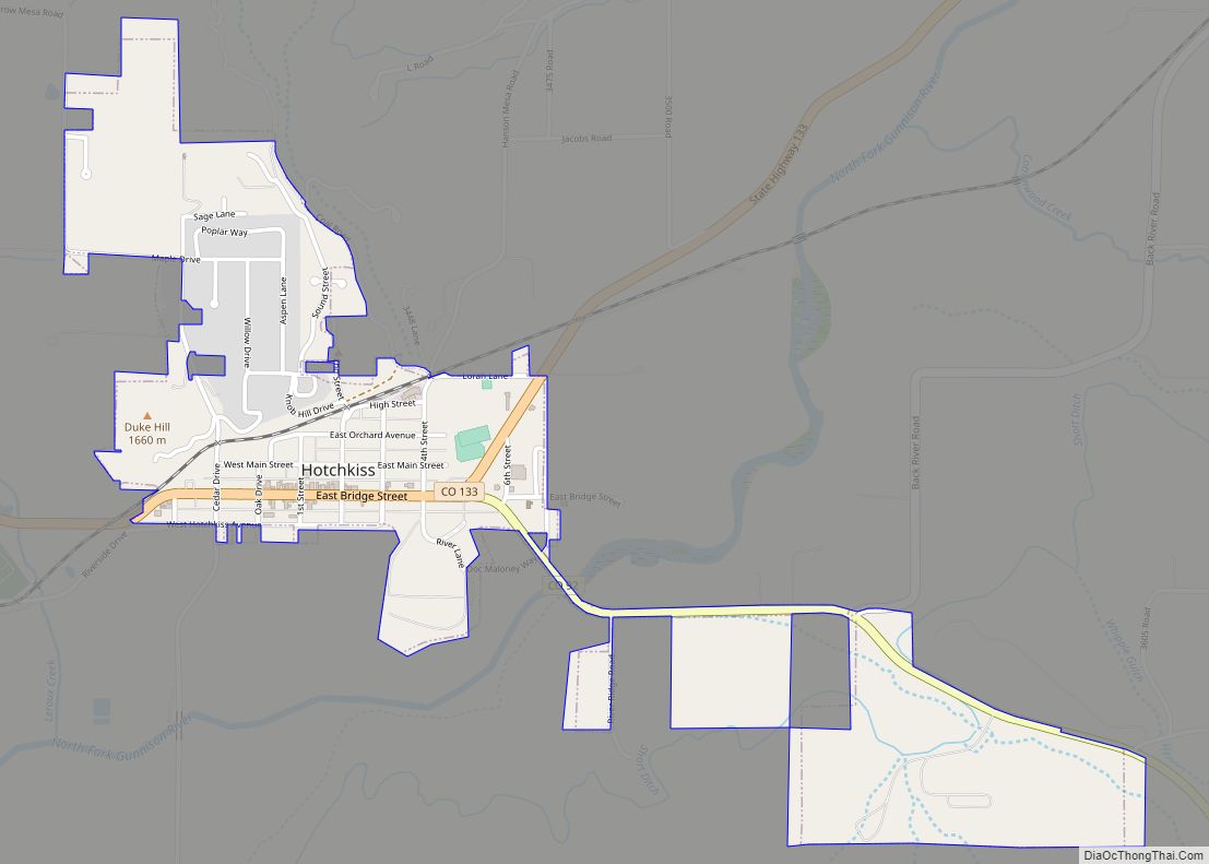
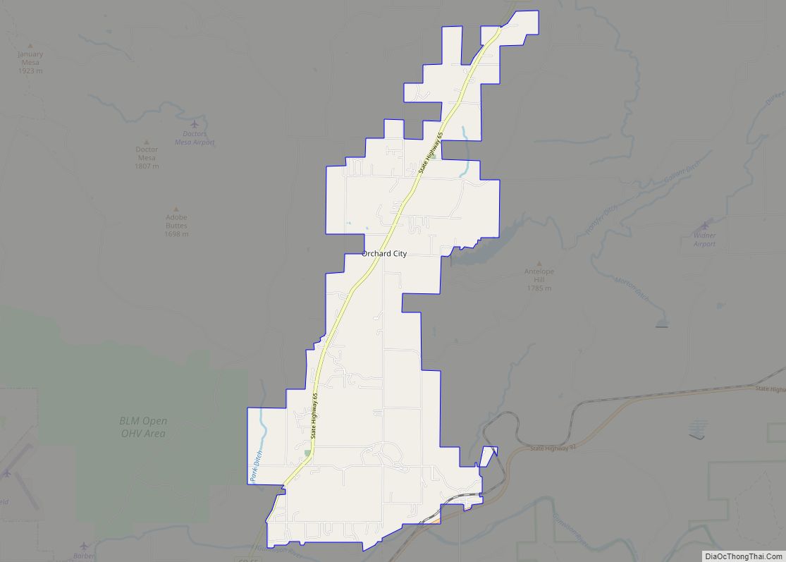
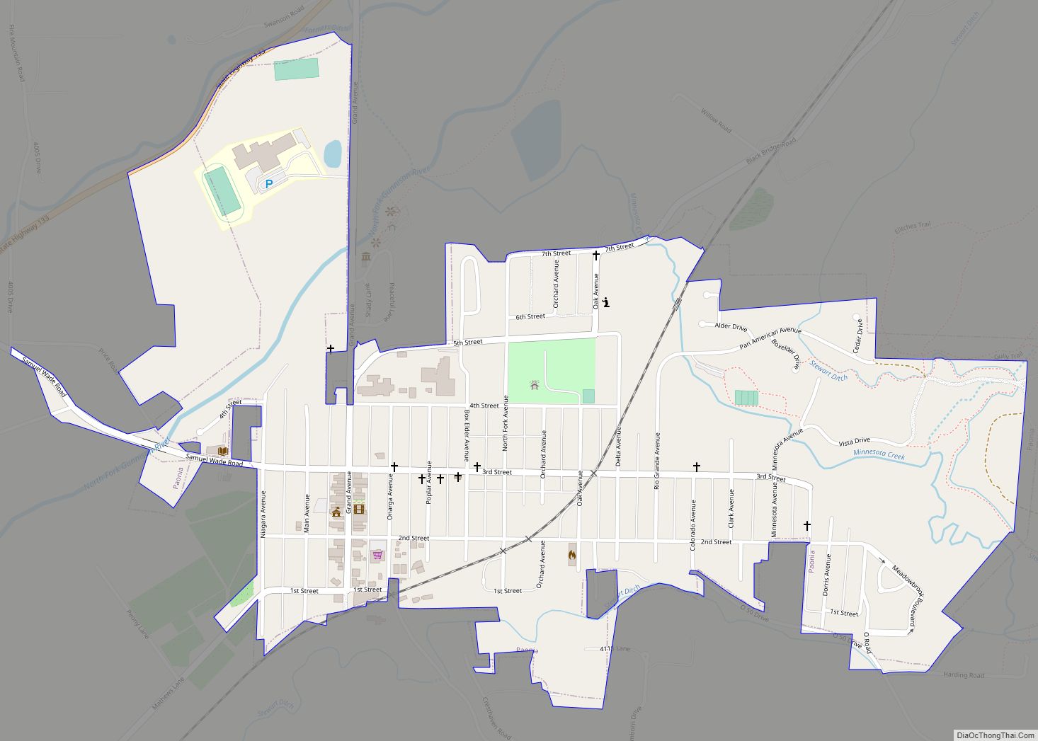
Online Interactive Map
Click on ![]() to view map in "full screen" mode.
to view map in "full screen" mode.
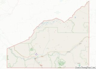
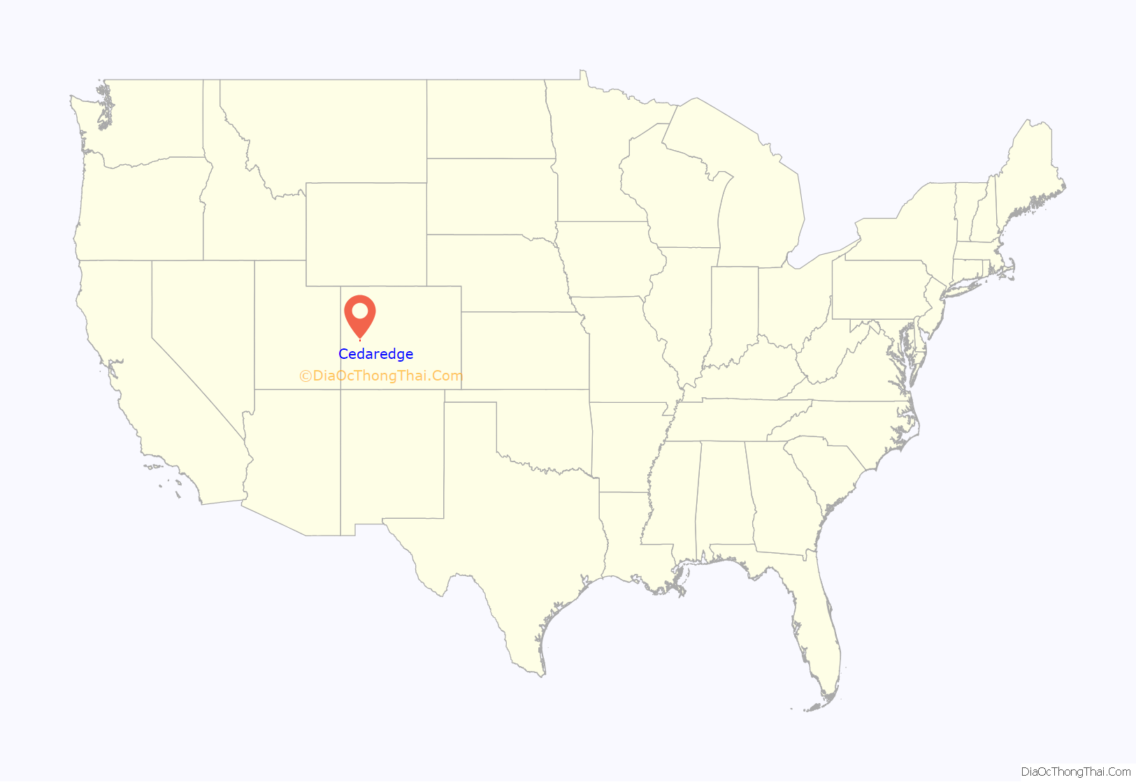
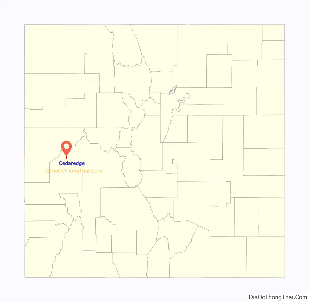
Cedaredge location map. Where is Cedaredge town?
History
Early history
Up until 1880 much of central and western Colorado was inhabited by the Ute Indians. Under the Act of June 15, 1880, the Utes ceded a large portion of their land to the United States, including the Surface Creek Valley. On September 1, 1881, the last band of Utes made their exodus from western Colorado to the northeastern part of Utah under escort of troops from Fort Crawford. Settlers soon began arriving, building homesteads, barns, businesses, and ranches. Much of the land was carved up into cattle ranches, fruit orchards, and fields of alfalfa, and grass, but the most successful business is cattle ranching to the west of the town.
The town of Cedaredge was officially incorporated on March 25, 1907 by a few ranchers.
McGruder Fire
Lightning struck a tree on Friday July 2, 2004. The fire smoldered overnight and hot dry winds fanned the flames into a large wildfire on July 3, 2004. By Sunday July 11, the fire was considered 100 percent contained. Thanks to the efforts of the Cedaredge volunteer and other area fire departments, San Juan Hot Shots, the BLM and Forest Service, no homes or lives were lost. The total area consumed by the McGruder fire was estimated at about 3,000 acres (12 km), 1,467 acres (5.94 km) of which was private land, the rest belonging to BLM and Forest Service.
Centennial celebration
The Town of Cedaredge celebrated its centennial in 2007.
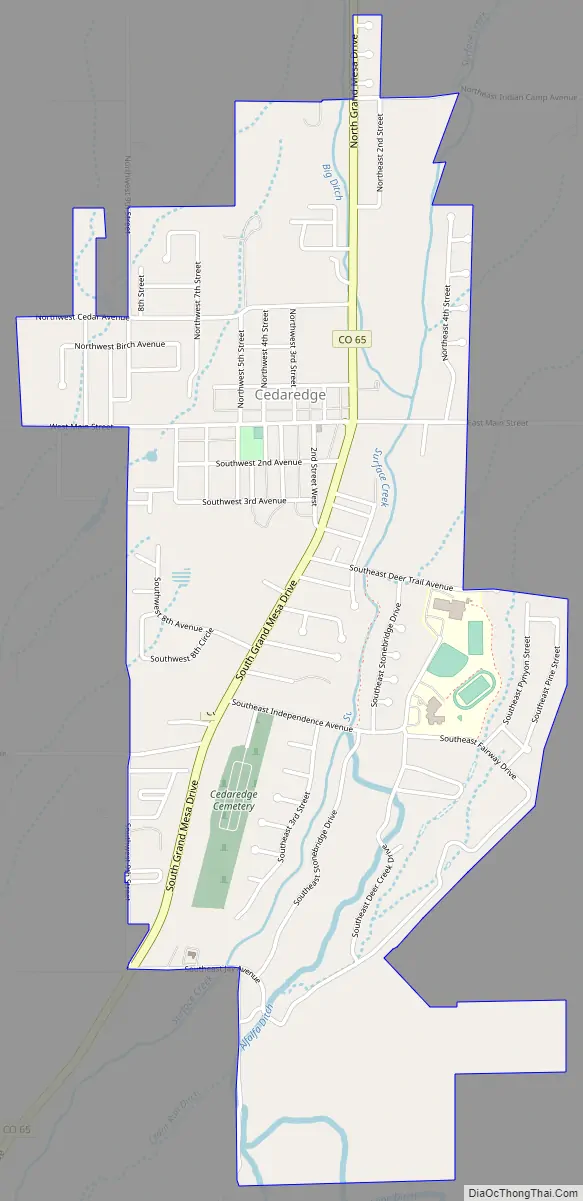
Cedaredge Road Map
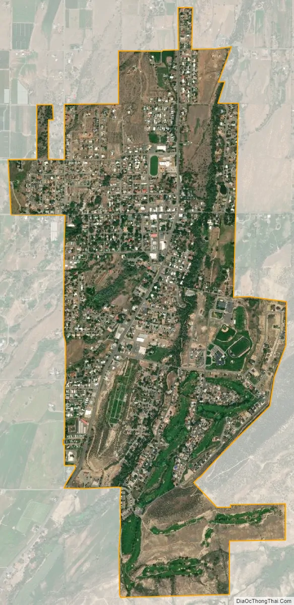
Cedaredge city Satellite Map
Geography
Cedaredge is located at 38°54′06″N 107°55′35″W / 38.90167°N 107.92639°W / 38.90167; -107.92639 (38.9016487,-107.9264540).
At the 2020 United States Census, the town had a total area of 1,255 acres (5.078 km), all of it land.
Climate
The climate in Cedaredge, like much of the Grand Valley and Uncompahgre Valley, consists of mild, snowy winters; summers are hot and dry with scattered afternoon thunderstorms occurring often but delivering a small amount of total precipitation. Summers see typical highs of 92 and lows of 60, winters can see highs in the 50s and lows of 11 °F (−12 °C).
See also
Map of Colorado State and its subdivision:- Adams
- Alamosa
- Arapahoe
- Archuleta
- Baca
- Bent
- Boulder
- Broomfield
- Chaffee
- Cheyenne
- Clear Creek
- Conejos
- Costilla
- Crowley
- Custer
- Delta
- Denver
- Dolores
- Douglas
- Eagle
- El Paso
- Elbert
- Fremont
- Garfield
- Gilpin
- Grand
- Gunnison
- Hinsdale
- Huerfano
- Jackson
- Jefferson
- Kiowa
- Kit Carson
- La Plata
- Lake
- Larimer
- Las Animas
- Lincoln
- Logan
- Mesa
- Mineral
- Moffat
- Montezuma
- Montrose
- Morgan
- Otero
- Ouray
- Park
- Phillips
- Pitkin
- Prowers
- Pueblo
- Rio Blanco
- Rio Grande
- Routt
- Saguache
- San Juan
- San Miguel
- Sedgwick
- Summit
- Teller
- Washington
- Weld
- Yuma
- Alabama
- Alaska
- Arizona
- Arkansas
- California
- Colorado
- Connecticut
- Delaware
- District of Columbia
- Florida
- Georgia
- Hawaii
- Idaho
- Illinois
- Indiana
- Iowa
- Kansas
- Kentucky
- Louisiana
- Maine
- Maryland
- Massachusetts
- Michigan
- Minnesota
- Mississippi
- Missouri
- Montana
- Nebraska
- Nevada
- New Hampshire
- New Jersey
- New Mexico
- New York
- North Carolina
- North Dakota
- Ohio
- Oklahoma
- Oregon
- Pennsylvania
- Rhode Island
- South Carolina
- South Dakota
- Tennessee
- Texas
- Utah
- Vermont
- Virginia
- Washington
- West Virginia
- Wisconsin
- Wyoming