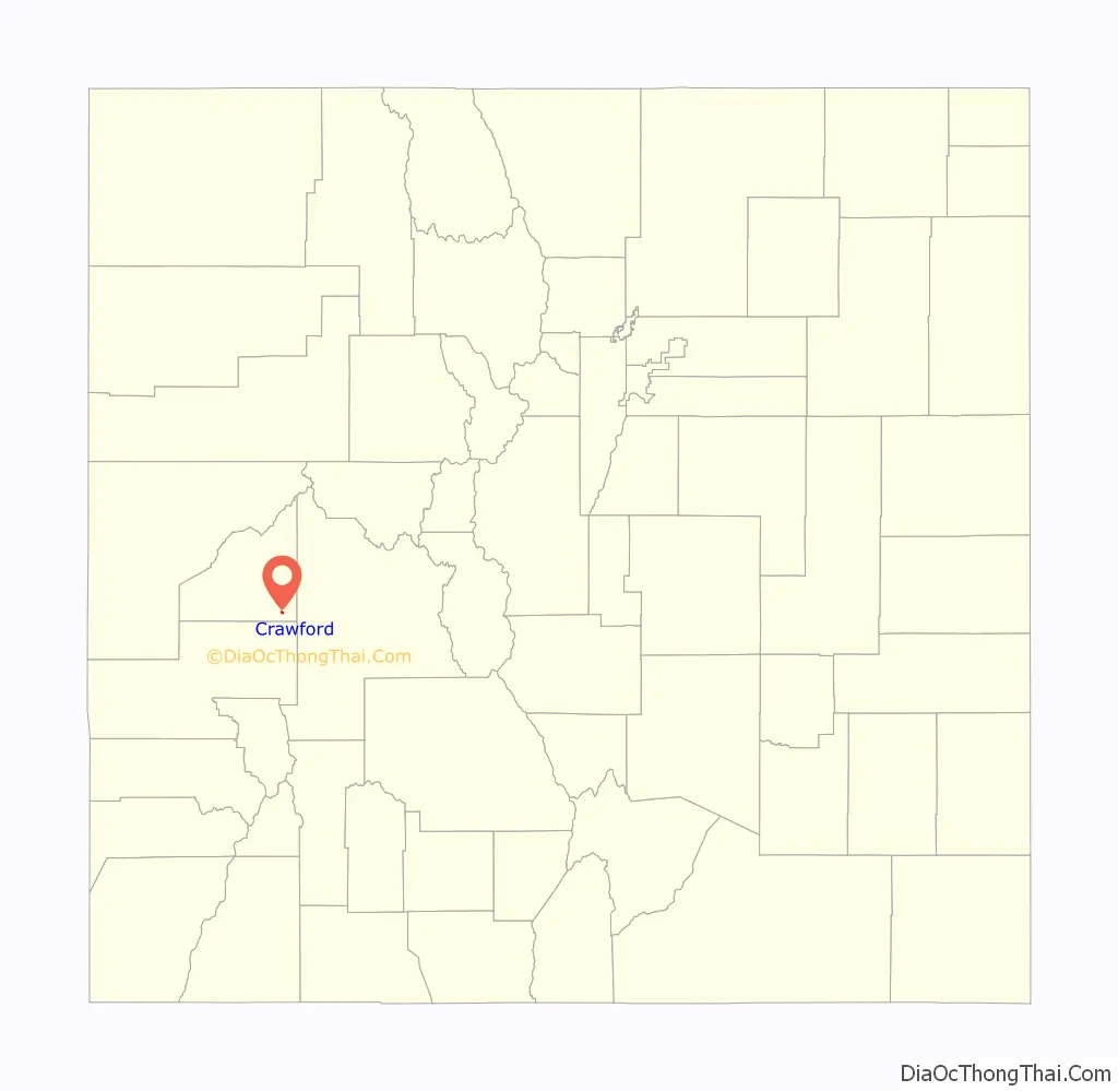
The Town of Crawford is a Statutory Town in Delta County, Colorado, United States. The town population was 403 at the 2020 United States Census. The surrounding mesas and valleys support a farming and ranching community.
| Name: | Crawford town |
|---|---|
| LSAD Code: | 43 |
| LSAD Description: | town (suffix) |
| State: | Colorado |
| County: | Delta County |
| Incorporated: | December 19, 1910 |
| Elevation: | 6,800 ft (2,073 m) |
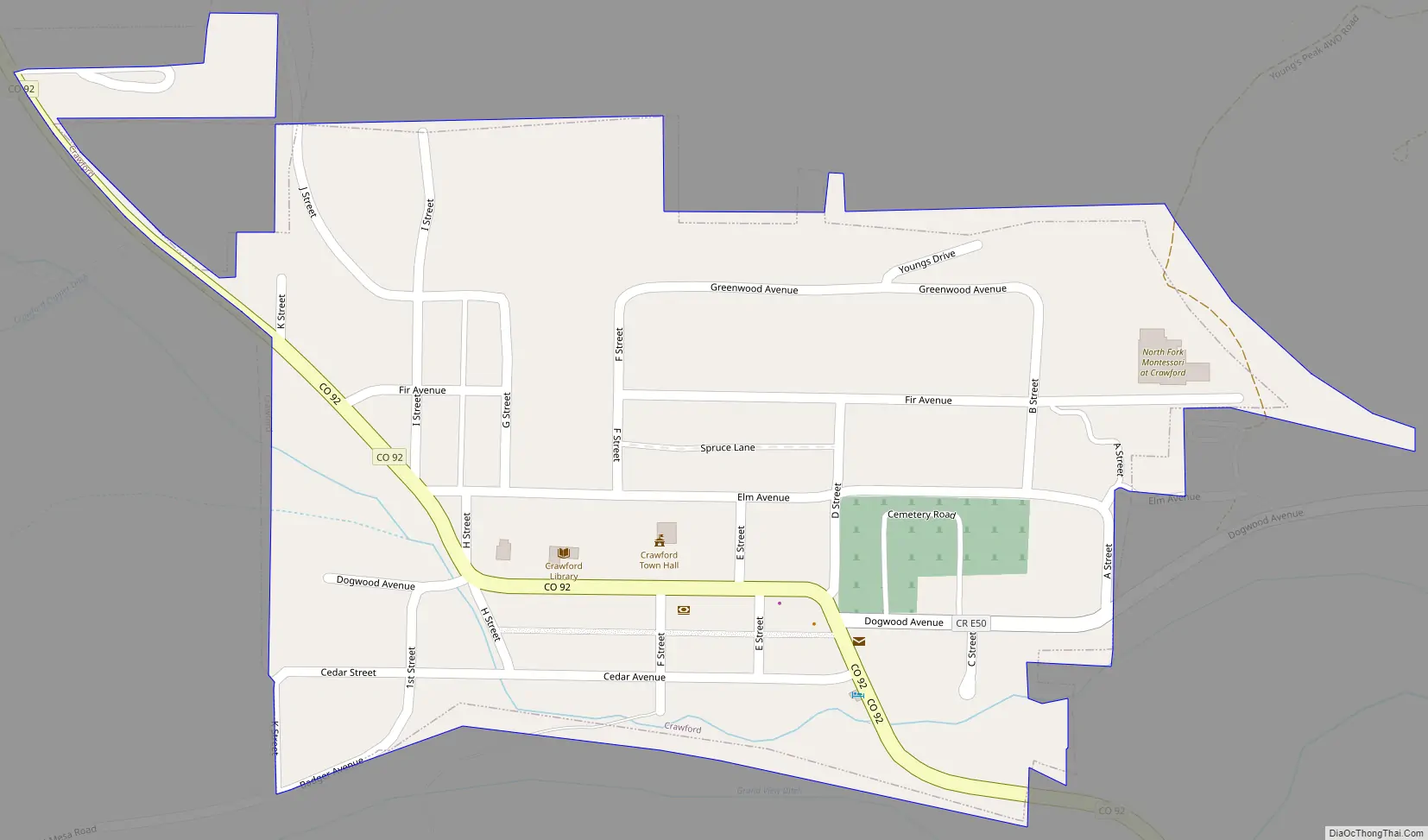
| Total Area: | 0.251 sq mi (0.651 km²) |
| Land Area: | 0.251 sq mi (0.651 km²) |
| Water Area: | 0.000 sq mi (0.000 km²) |
| Total Population: | 403 |
| Population Density: | 1,603/sq mi (619/km²) |
| ZIP code: | 81415 |
| Area code: | 970 |
| FIPS code: | 0817925 |
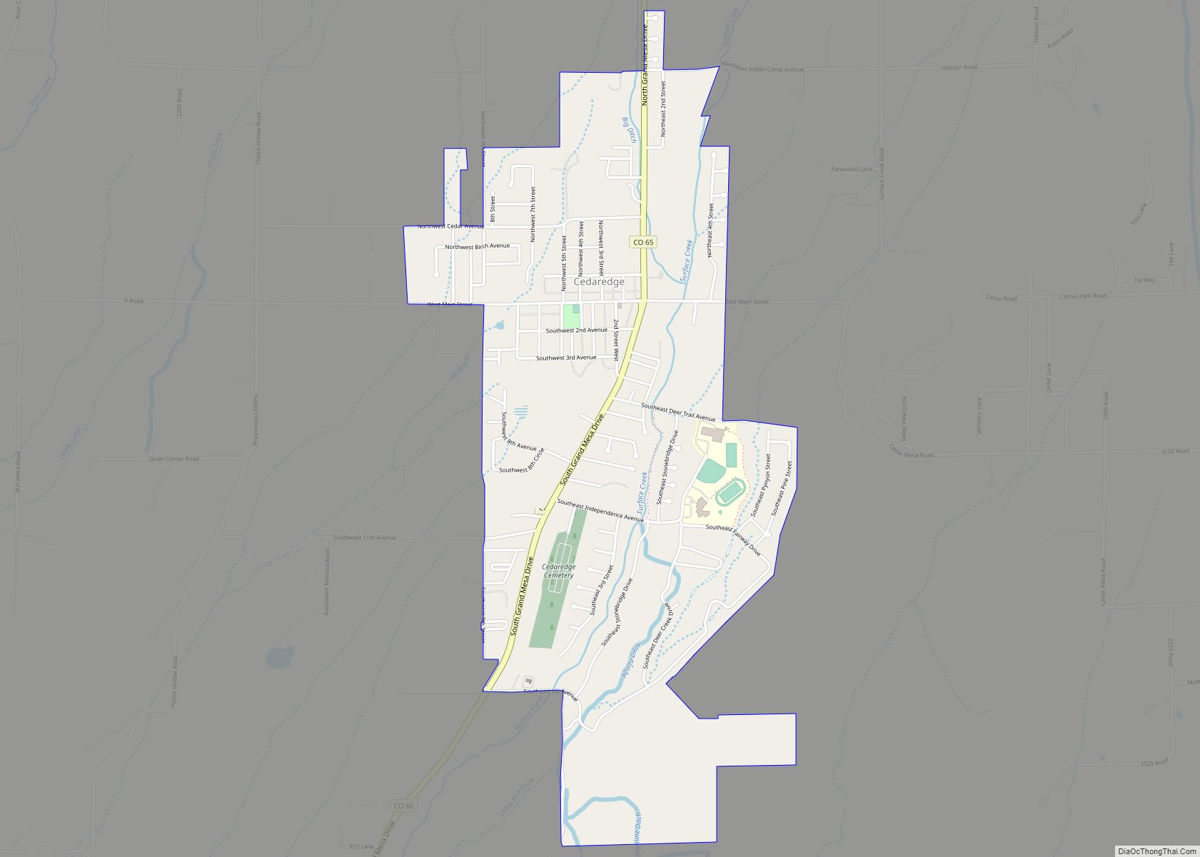
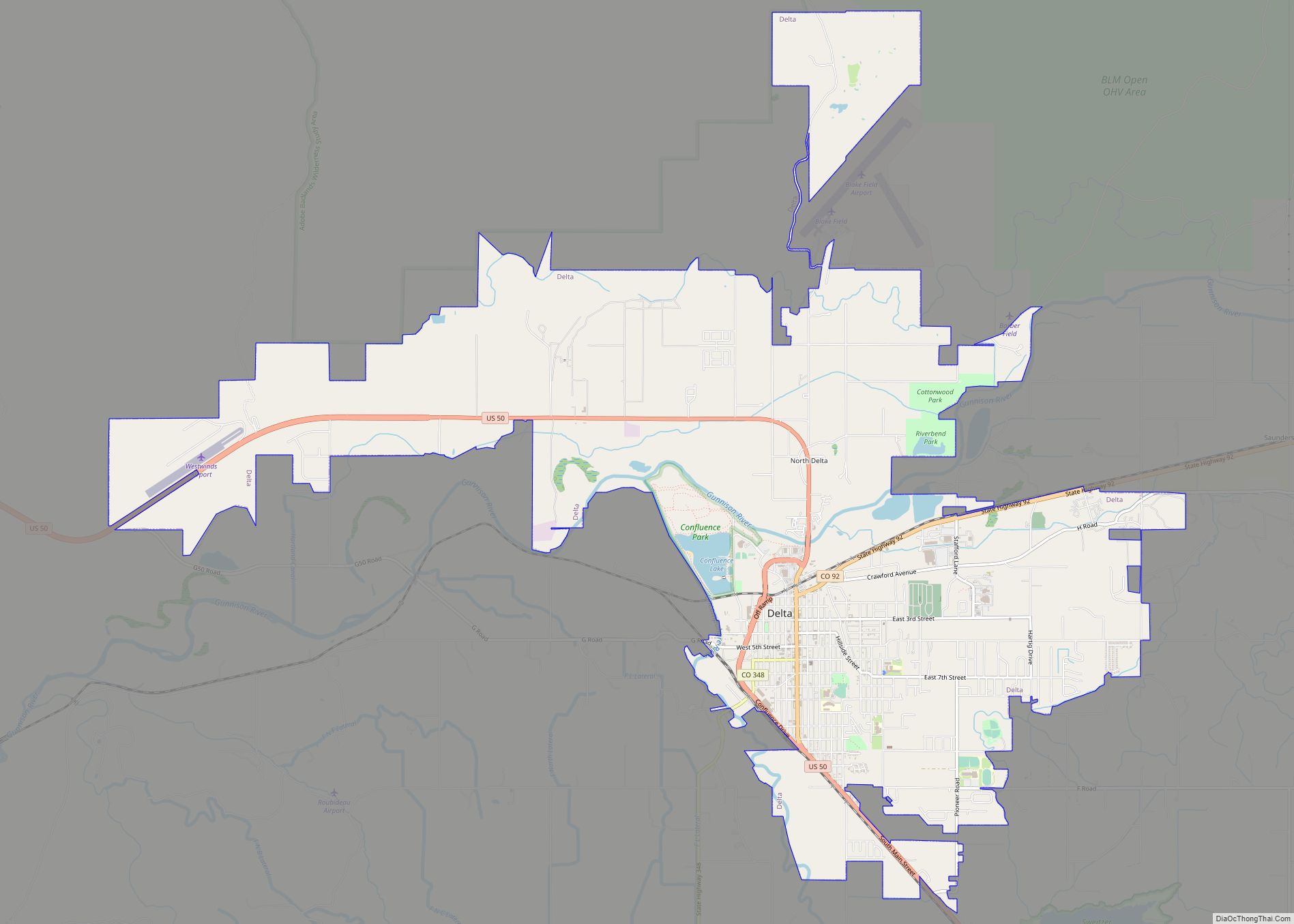
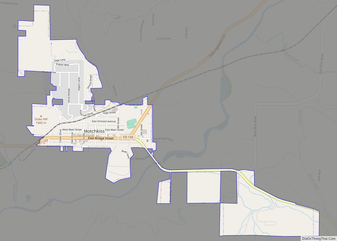
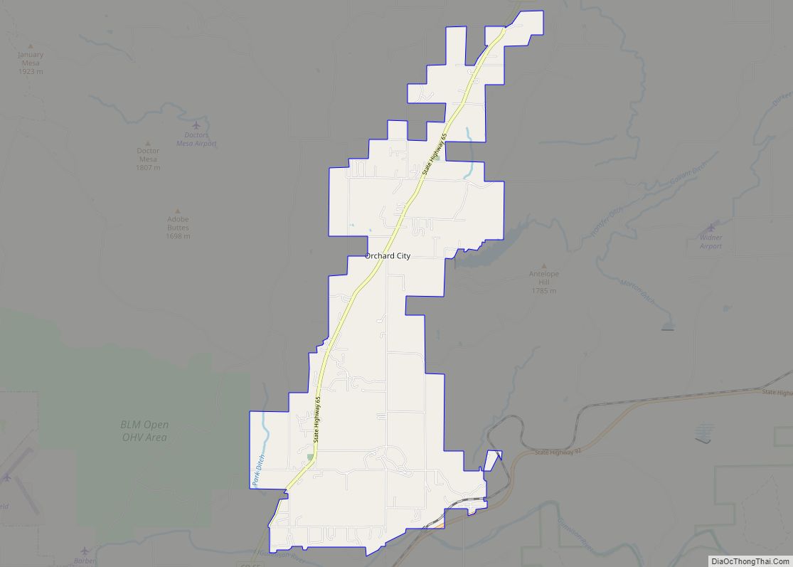
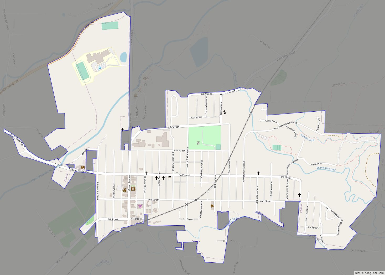
Online Interactive Map
Click on ![]() to view map in "full screen" mode.
to view map in "full screen" mode.
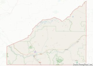
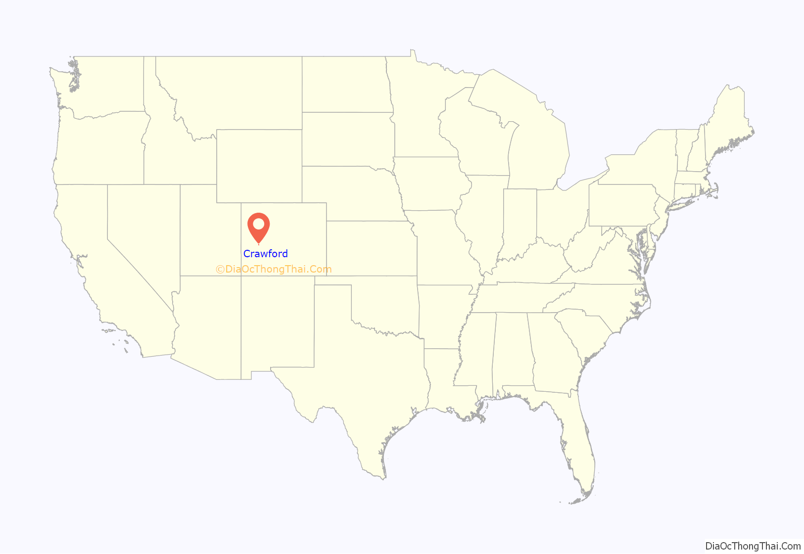
Crawford location map. Where is Crawford town?
History
Crawford was founded in 1882. The town was named for George A. Crawford, governor-elect of Kansas and a founder of Grand Junction, Colorado. A post office has been in operation at Crawford since 1883.
Pioneer Days
For 40 years during the second weekend in June, Crawford Country holds a town festival called Pioneer Days, starting with a parade and ending with a fireworks display over the reservoir at Crawford State Park.
The Pioneer Days’ schedule usually includes a locally-produced Melodrama starting on Thursday evening and followed by 2 shows on Saturday. Friday evening includes a benefit auction, baking contest, and Fire Auxiliary BBQ dinner at Town Hall. Saturday includes craft booths, throwing a horseshoe, and racing outhouses. The finale is the fireworks display on Saturday evening at Crawford State Park.
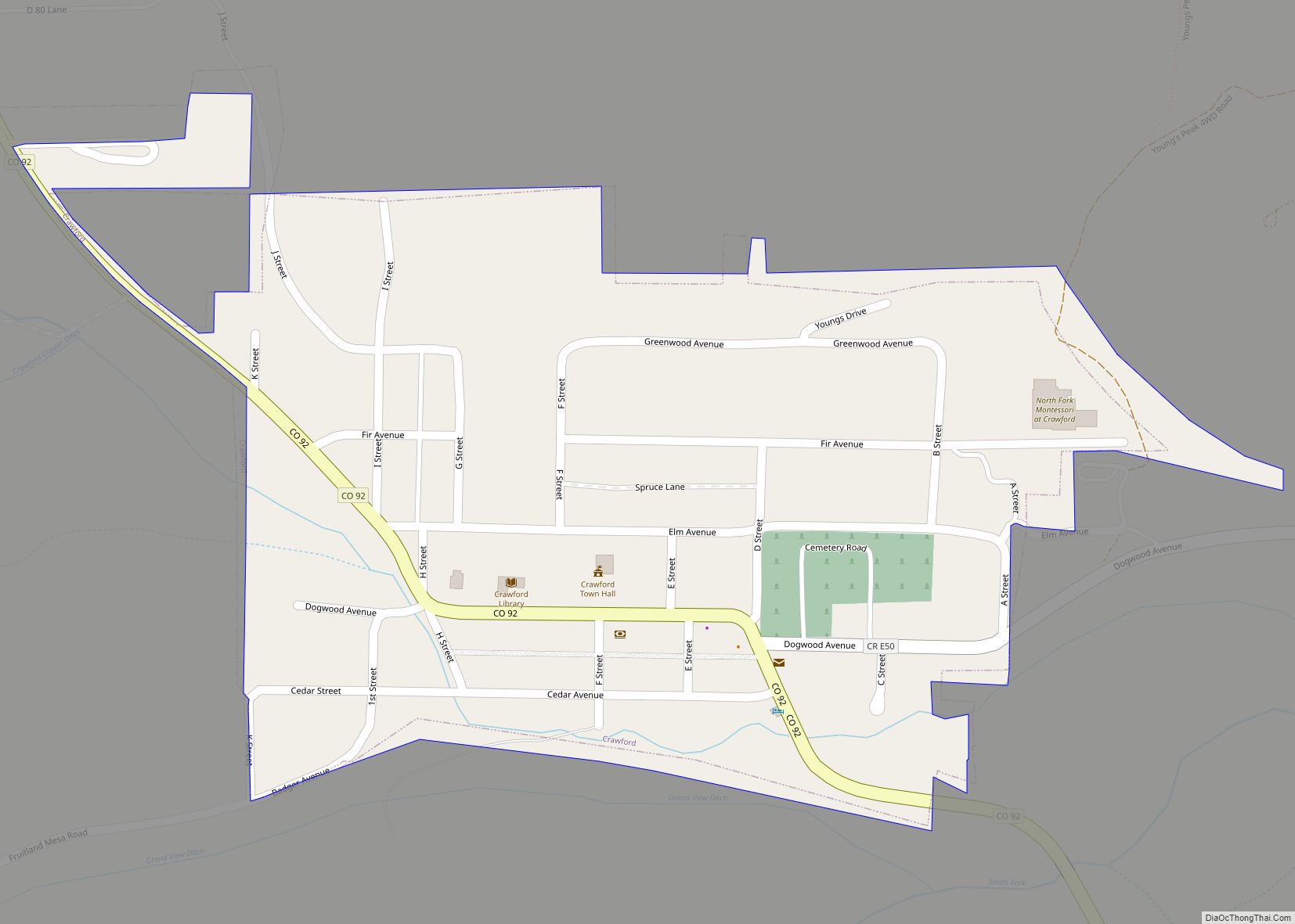
Crawford Road Map
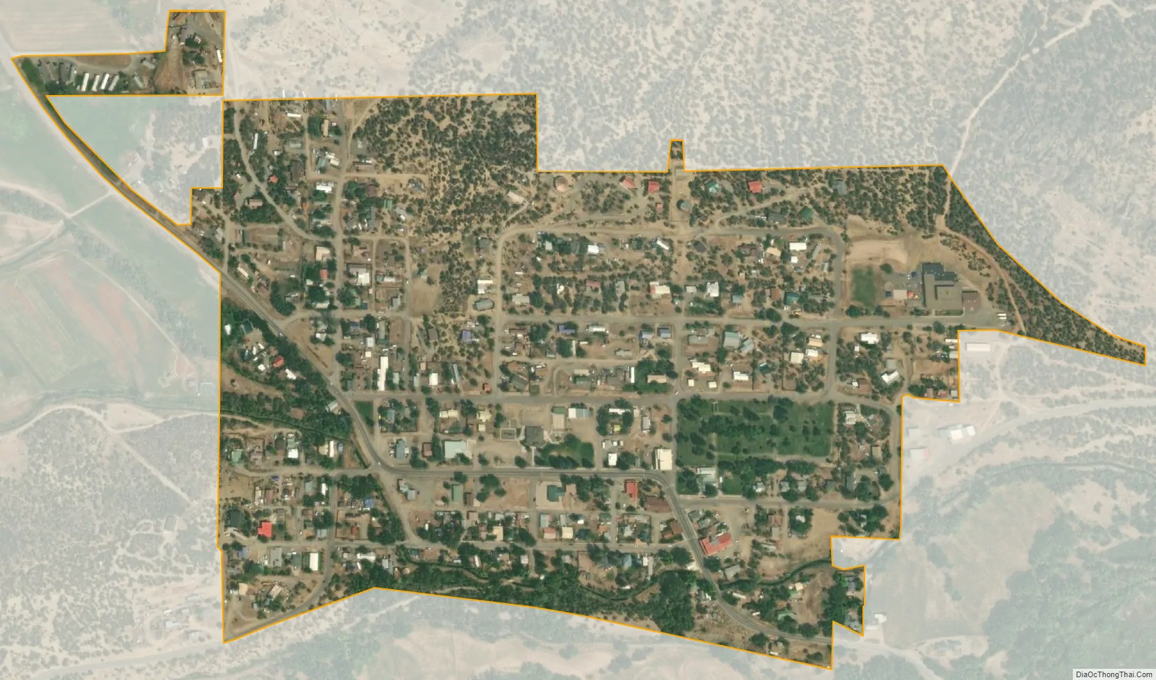
Crawford city Satellite Map
Geography
Crawford is located at 38°42′15″N 107°36′39″W / 38.70417°N 107.61083°W / 38.70417; -107.61083 (38.704235, −107.610925). It is seventy highway miles southeast of Grand Junction.
At the 2020 United States Census, the town had a total area of 161 acres (0.651 km), all of it land.
See also
Map of Colorado State and its subdivision:- Adams
- Alamosa
- Arapahoe
- Archuleta
- Baca
- Bent
- Boulder
- Broomfield
- Chaffee
- Cheyenne
- Clear Creek
- Conejos
- Costilla
- Crowley
- Custer
- Delta
- Denver
- Dolores
- Douglas
- Eagle
- El Paso
- Elbert
- Fremont
- Garfield
- Gilpin
- Grand
- Gunnison
- Hinsdale
- Huerfano
- Jackson
- Jefferson
- Kiowa
- Kit Carson
- La Plata
- Lake
- Larimer
- Las Animas
- Lincoln
- Logan
- Mesa
- Mineral
- Moffat
- Montezuma
- Montrose
- Morgan
- Otero
- Ouray
- Park
- Phillips
- Pitkin
- Prowers
- Pueblo
- Rio Blanco
- Rio Grande
- Routt
- Saguache
- San Juan
- San Miguel
- Sedgwick
- Summit
- Teller
- Washington
- Weld
- Yuma
- Alabama
- Alaska
- Arizona
- Arkansas
- California
- Colorado
- Connecticut
- Delaware
- District of Columbia
- Florida
- Georgia
- Hawaii
- Idaho
- Illinois
- Indiana
- Iowa
- Kansas
- Kentucky
- Louisiana
- Maine
- Maryland
- Massachusetts
- Michigan
- Minnesota
- Mississippi
- Missouri
- Montana
- Nebraska
- Nevada
- New Hampshire
- New Jersey
- New Mexico
- New York
- North Carolina
- North Dakota
- Ohio
- Oklahoma
- Oregon
- Pennsylvania
- Rhode Island
- South Carolina
- South Dakota
- Tennessee
- Texas
- Utah
- Vermont
- Virginia
- Washington
- West Virginia
- Wisconsin
- Wyoming