Evergreen is an unincorporated town, a post office, and a census-designated place (CDP) located in and governed by Jefferson County, Colorado, U.S. The CDP is a part of the Denver–Aurora–Lakewood, CO Metropolitan Statistical Area. The Evergreen post office has the ZIP Codes 80439 and 80437 (for post office boxes). At the 2020 census, the population of the Evergreen CDP was 9,307. The Evergreen Metropolitan District provides services.
| Name: | Evergreen CDP |
|---|---|
| LSAD Code: | 57 |
| LSAD Description: | CDP (suffix) |
| State: | Colorado |
| County: | Jefferson County |
| Elevation: | 7,165 ft (2,184 m) |
| Total Area: | 11.605 sq mi (30.056 km²) |
| Land Area: | 11.522 sq mi (29.843 km²) |
| Water Area: | 0.082 sq mi (0.213 km²) |
| Total Population: | 9,307 |
| Population Density: | 800/sq mi (310/km²) |
| ZIP code: | 80439 |
| FIPS code: | 0825390 |
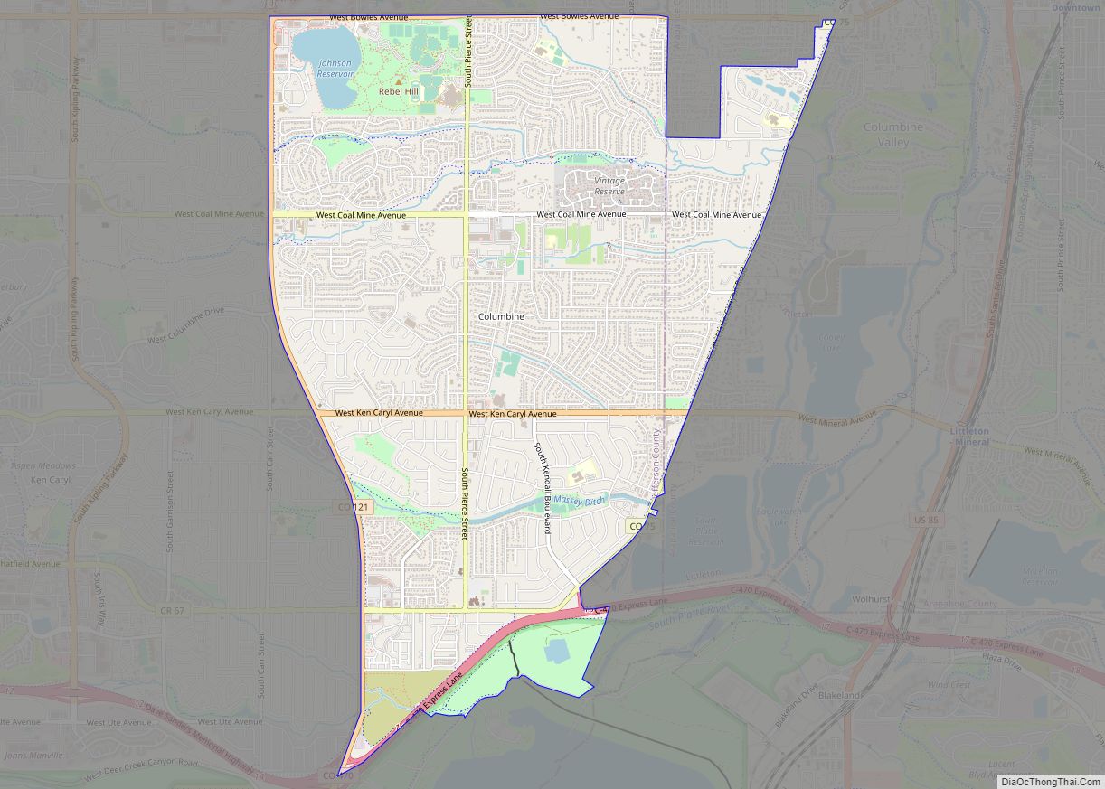
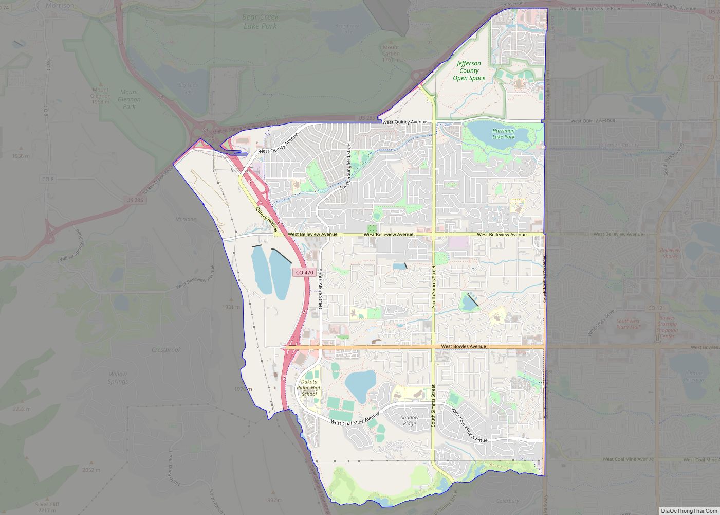
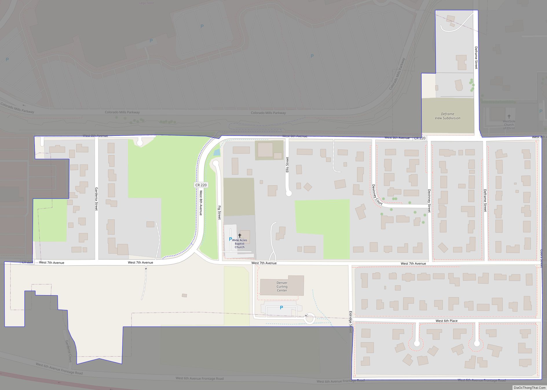
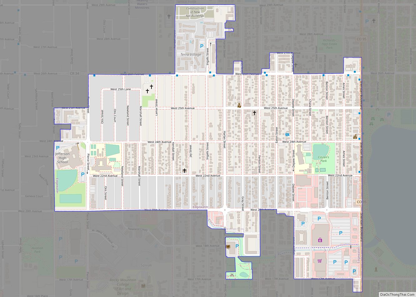
Online Interactive Map
Click on ![]() to view map in "full screen" mode.
to view map in "full screen" mode.
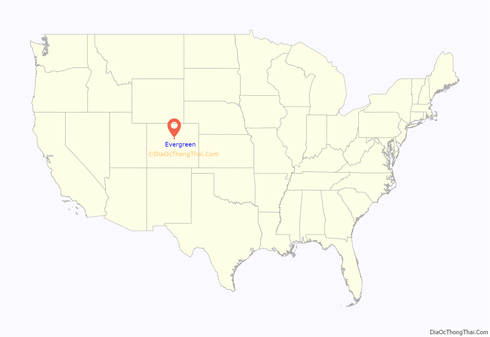
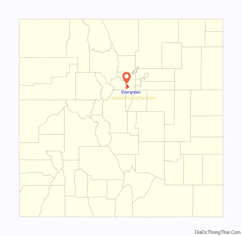
Evergreen location map. Where is Evergreen CDP?
History
The Evergreen post office has been in operation since 1876. The community was named for evergreen trees surrounding the town. The Colorado Blue Spruce Monument is located in the town, in honor of the Colorado state tree.
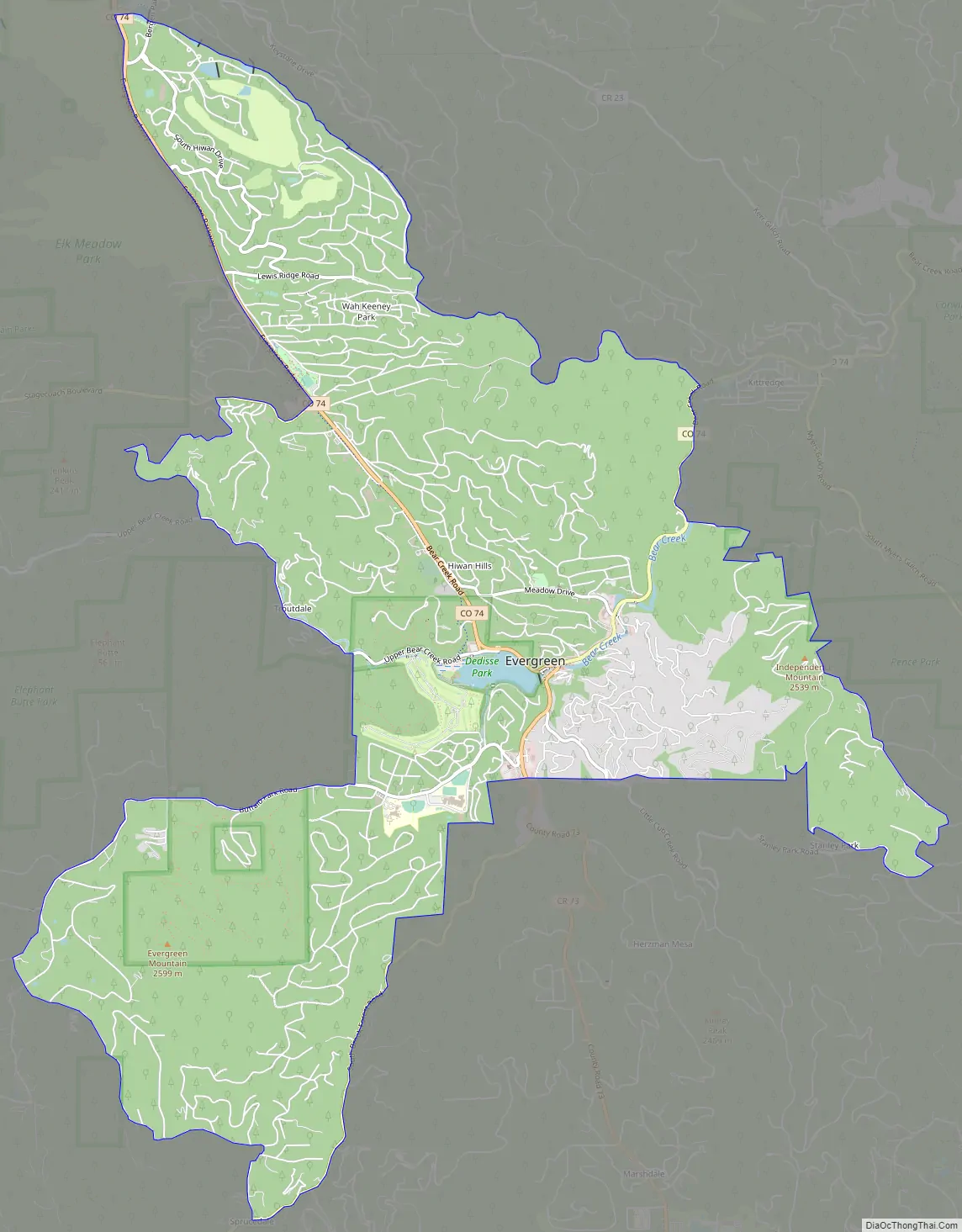
Evergreen Road Map
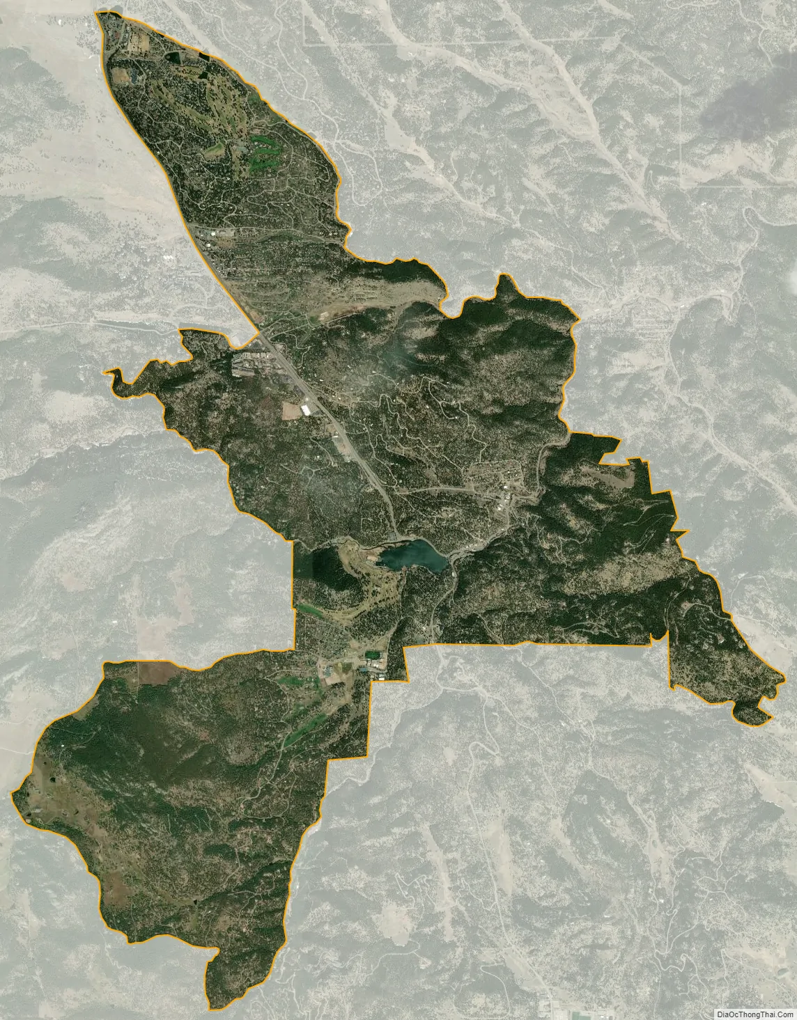
Evergreen city Satellite Map
Geography
Evergreen sits at an elevation of 7,220 feet (2,200 m) in the Rocky Mountains, 19 miles west of Denver, Colorado.
The Evergreen CDP has an area of 7,427 acres (30.056 km), including 53 acres (0.213 km) of water, most of which being the Evergreen Reservoir.
Climate
According to the Köppen Climate Classification system, Evergreen has an oceanic climate, abbreviated “Cfb” on climate maps.
See also
Map of Colorado State and its subdivision:- Adams
- Alamosa
- Arapahoe
- Archuleta
- Baca
- Bent
- Boulder
- Broomfield
- Chaffee
- Cheyenne
- Clear Creek
- Conejos
- Costilla
- Crowley
- Custer
- Delta
- Denver
- Dolores
- Douglas
- Eagle
- El Paso
- Elbert
- Fremont
- Garfield
- Gilpin
- Grand
- Gunnison
- Hinsdale
- Huerfano
- Jackson
- Jefferson
- Kiowa
- Kit Carson
- La Plata
- Lake
- Larimer
- Las Animas
- Lincoln
- Logan
- Mesa
- Mineral
- Moffat
- Montezuma
- Montrose
- Morgan
- Otero
- Ouray
- Park
- Phillips
- Pitkin
- Prowers
- Pueblo
- Rio Blanco
- Rio Grande
- Routt
- Saguache
- San Juan
- San Miguel
- Sedgwick
- Summit
- Teller
- Washington
- Weld
- Yuma
- Alabama
- Alaska
- Arizona
- Arkansas
- California
- Colorado
- Connecticut
- Delaware
- District of Columbia
- Florida
- Georgia
- Hawaii
- Idaho
- Illinois
- Indiana
- Iowa
- Kansas
- Kentucky
- Louisiana
- Maine
- Maryland
- Massachusetts
- Michigan
- Minnesota
- Mississippi
- Missouri
- Montana
- Nebraska
- Nevada
- New Hampshire
- New Jersey
- New Mexico
- New York
- North Carolina
- North Dakota
- Ohio
- Oklahoma
- Oregon
- Pennsylvania
- Rhode Island
- South Carolina
- South Dakota
- Tennessee
- Texas
- Utah
- Vermont
- Virginia
- Washington
- West Virginia
- Wisconsin
- Wyoming