The City of Fruita /ˈfruːtə/ is a home rule municipality located in western Mesa County, Colorado, United States. The city population was 13,395 at the 2020 United States Census. Fruita is a part of the Grand Junction, CO Metropolitan Statistical Area and lies within the Grand Valley. The geography is identified by the bordering Colorado River (historically known as the Grand River) on the southern edge of town, the Uncompahgre Plateau known for its pinyon-juniper landscape, and the Book Cliffs range on the northern edge of the Grand Valley. Originally home to the Ute people, white farmers settled the town after founder William Pabor in 1884. Ten years later, Fruita was incorporated.
Economically, it started out as a fruit-producing region, but today it is well known for its outdoor sports such as mountain biking, hiking, and rafting, its proximity to the Colorado National Monument, and its annual festivals. Fruita has been the winner of the Governor’s Smart Growth and Development Award for four consecutive years. The city motto is “Honor the Past, Envision the Future”.
| Name: | Fruita city |
|---|---|
| LSAD Code: | 25 |
| LSAD Description: | city (suffix) |
| State: | Colorado |
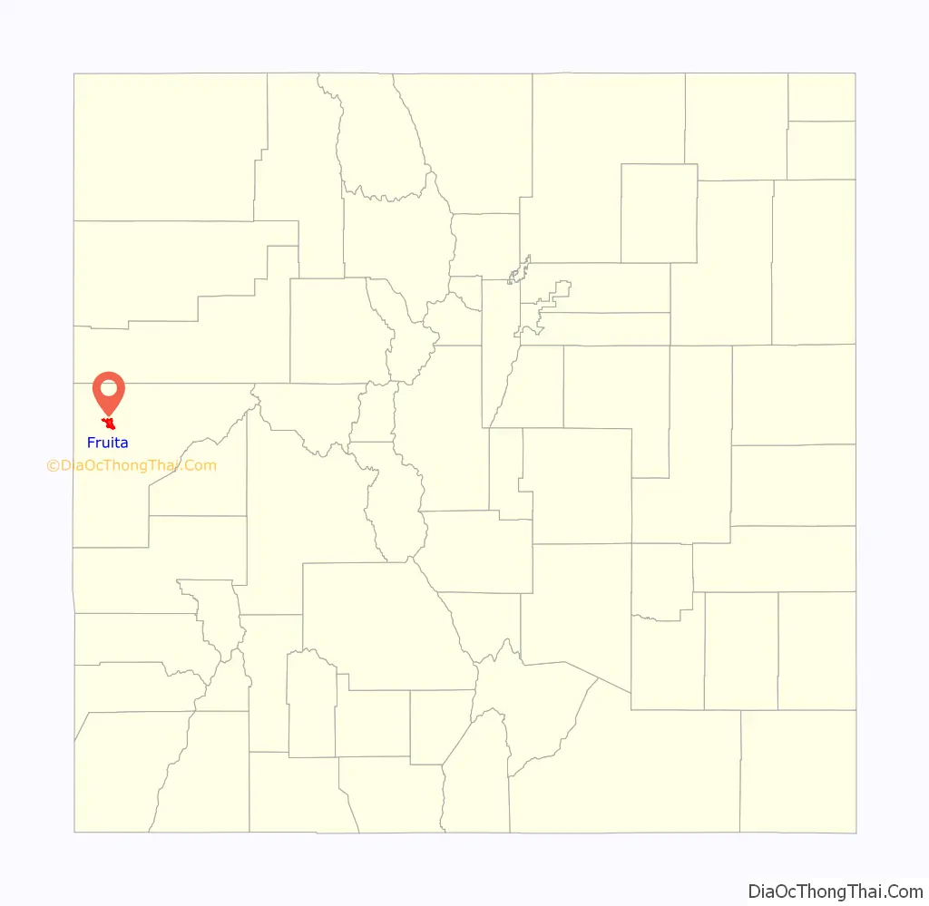
| County: | Mesa County |
| Incorporated: | April 18, 1894 |
| Elevation: | 4,514 ft (1,376 m) |
| Total Area: | 8.183 sq mi (21.193 km²) |
| Land Area: | 7.892 sq mi (20.439 km²) |
| Water Area: | 0.291 sq mi (0.754 km²) |
| Total Population: | 13,395 |
| Population Density: | 1,697/sq mi (655/km²) |
| ZIP code: | 81521 |
| Area code: | 970 |
| FIPS code: | 0828745 |
| GNISfeature ID: | 0204660 |
| Website: | www.fruita.org |
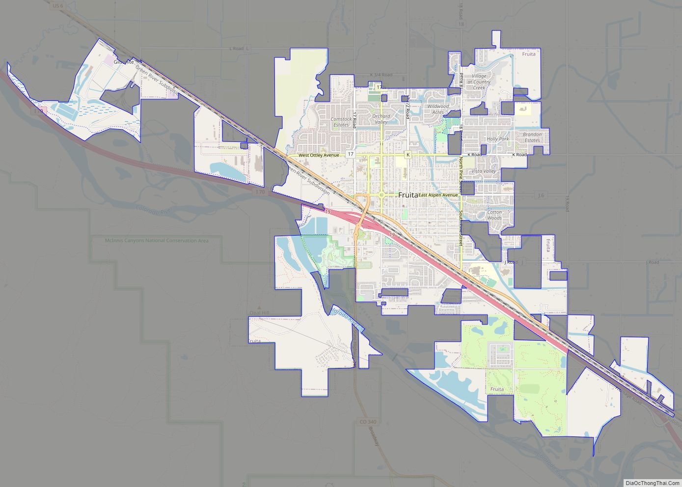
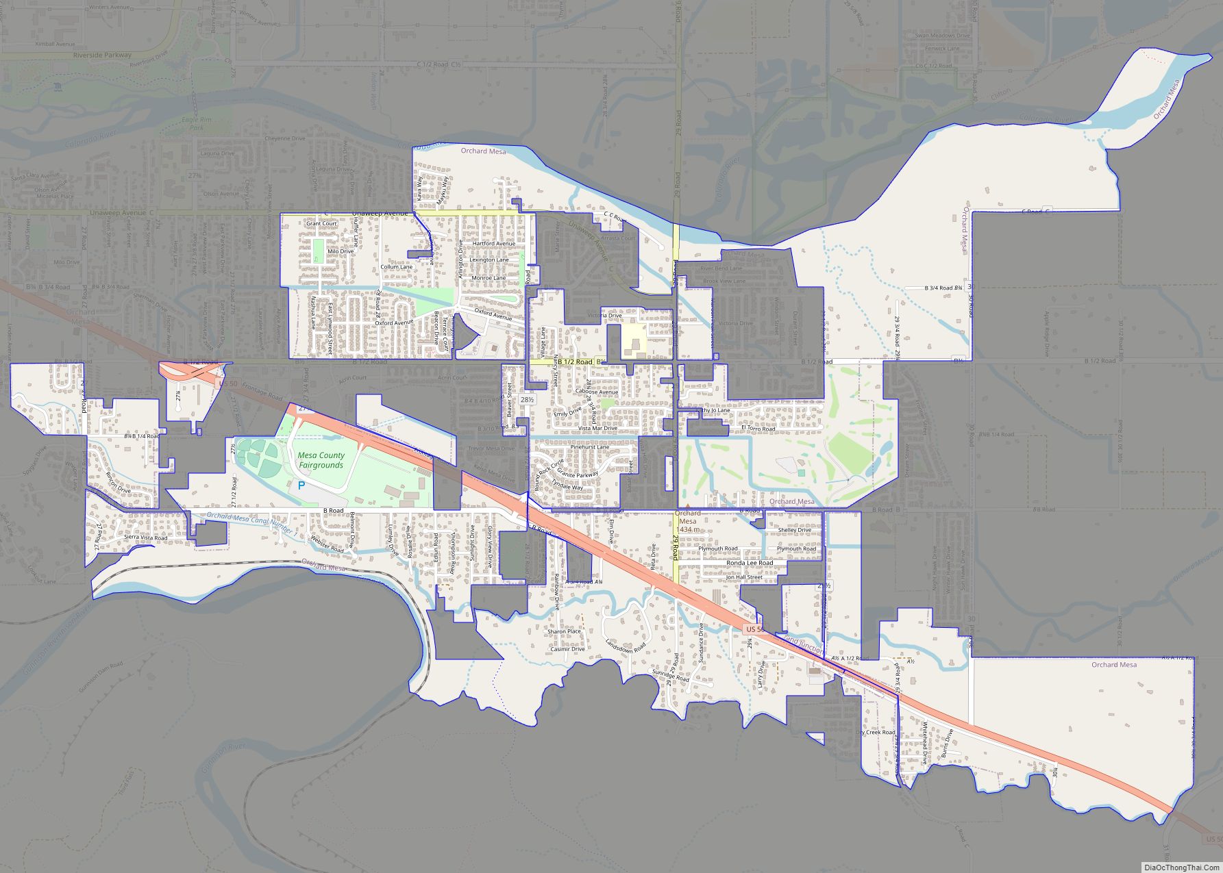
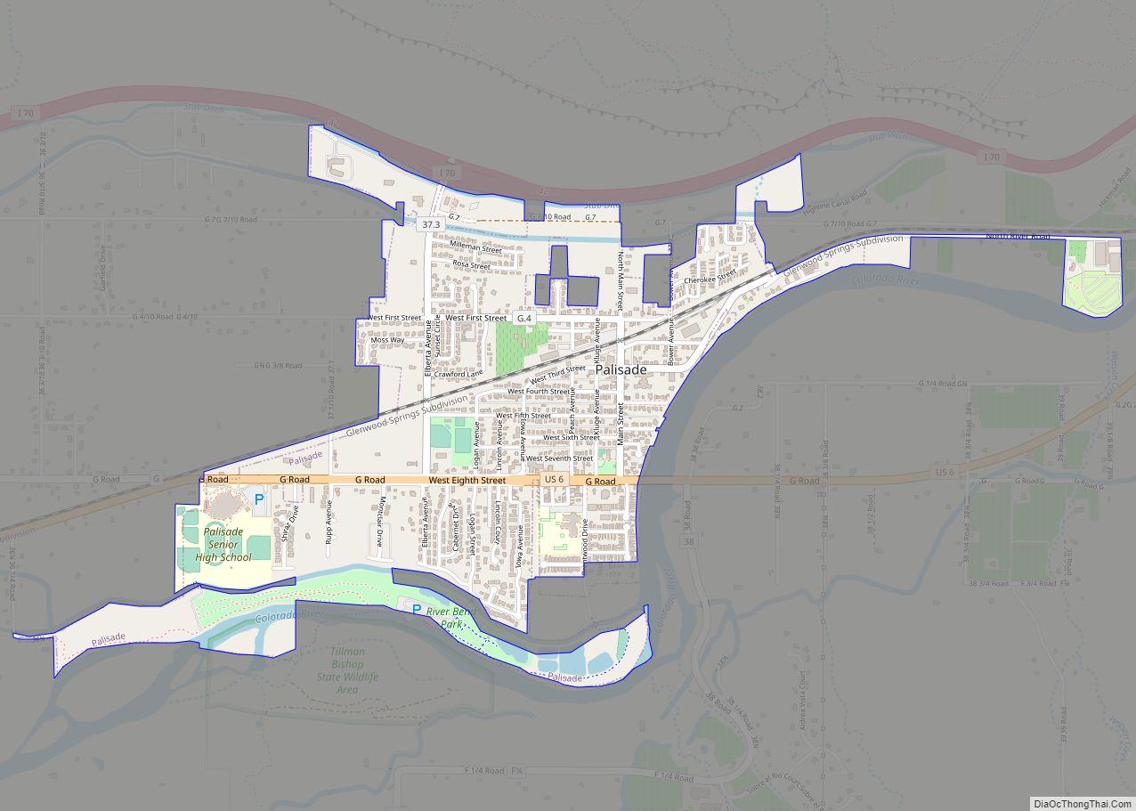
Online Interactive Map
Click on ![]() to view map in "full screen" mode.
to view map in "full screen" mode.
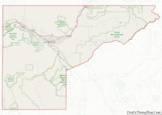
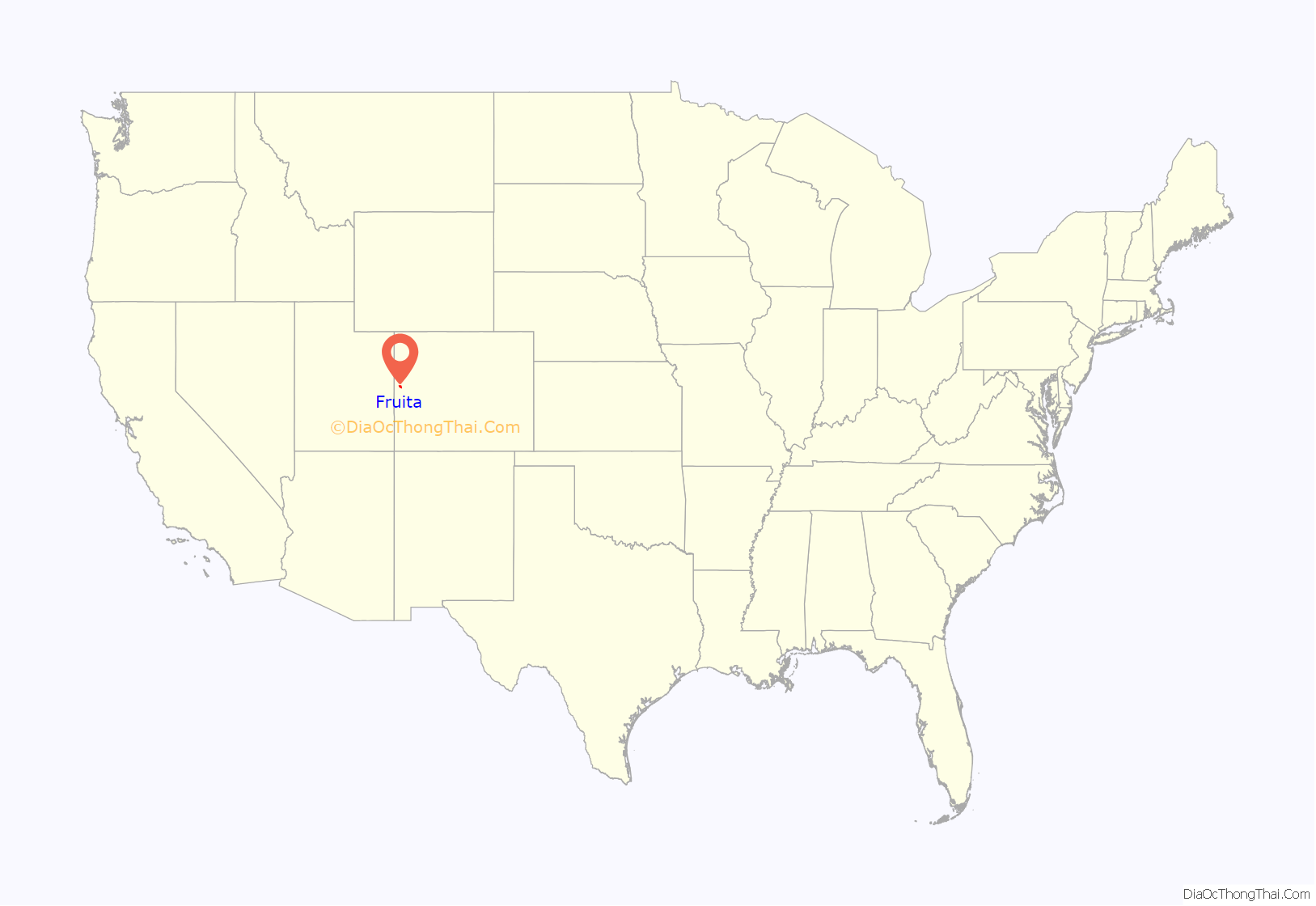
Fruita location map. Where is Fruita city?
History
Fruita has had steady population growth for over a century, with descendants of many of the original pioneers still living in the area. The first permanent homesteaders in the Fruita area were possibly Mr. and Mrs. Albert Lapham who settled in late 1882. They resided in a pre-existing cabin with a dirt floor and a blanket door. They were followed by other settlers, nearly all of whom were farmers of one sort or another. The present town was established on May 1, 1884, by William E. Pabor, when he formed the Fruita Town and Land Company. In 1886, for the cost of $500 a farmer could buy five acres, 200 fruit trees and water. Pabor recognized the great promise of the Grand Valley and penned a 300-page volume, Colorado as an Agricultural State, in which he spoke of the fruit-growing potential of this area. Having worked with the Horace Greeley Union Colony, he founded the town in a similar way, including the provision that no liquor be sold or manufactured in the town. This provision lasted until it was voted out in the late 1970s.
The original town site was planned for 80 acres (32 ha) with a park in the middle. The first water reached the town from the Colorado River in 1907. By 1909, the town center was linked with electricity. In the 1930s, Fruita participated in several government projects, including the Grand Valley Resettlement Project (later Western Slope Farms). Settled in groups of two or three families per area, 34 families were relocated by 1937. Later, the Rural Electrification Project brought electricity to around 800 or 900 farms. Fruita also had a Civilian Conservation Corps, several Works Progress Administration projects including the town library (now the Chamber of Commerce), a federal loan for the new central school (now the Civic Center) and the construction of the spectacular Rim Rock Drive to the top of the Colorado National Monument, elevation 8,000 feet (2,400 m). Today, the historic activities of Fruita are supported by the efforts of the Fruita Historic Preservation Board and the Lower Valley Heritage Chapter.
On April 6, 2010, Fruita became the first city in the world to enact a marijuana tax.
Paleontology
In 1900, paleontologist Elmer Riggs and crew, from the Field Museum of Natural History in Chicago, found the first known Brachiosaurus altithorax at a location later called “Riggs Hill,” located off what is now State Highway 340 in Grand Junction. Led here by communications with Dr. S.M. Bradbury of Grand Puns, Riggs had heard that ranchers had been collecting fossils around the area for 20 years. In 1901, Riggs and crew found nearly two thirds of a Brontosaurus skeleton on the northeast side of Dinosaur Hill, in Fruita. This is still considered to be one of the finest specimens known. Later, other sauropod bones were also found, which eventually led to the landmark’s name. The animals were from the late Jurassic Age (150 million years ago) and within the 600-foot-thick (180 m) Morrison Formation.
Fossils of the Fruitadens (a heterodontosaurid dinosaur), the world’s smallest known plant-eating dinosaur, were first found in the Fruita Paleontological Area (within the McInnis Canyons National Conservation Area) off Kings View Road in the 1970s and 1980s. The name means “Fruita tooth”. There is a replica on display at the Dinosaur Journey Museum. The museum is a part of the Museum of Western Colorado and has information on local paleontology and geology.
Also found here and named after the town is the Mesozoic mammal Fruitafossor (“Fruita digger”), discovered 2005. It was a small animal at less than 10 grams body mass, and had a lifestyle similar to modern-day armadillos but was not related to them, but rather close to the ancestor of all therian mammals. Thus, this important find proves that the first “modern” mammals lived in the Jurassic already.
The region is within the Dinosaur Diamond Scenic Byway and includes two other nearby dinosaur-related sites: Mygatt-Moore Quarry and Trail Through Time off Interstate 70 exit 2.
Properties
The stone cottage building located at 432 East Aspen Avenue was built in 1938 by the Works Progress Administration. Originally built as the Fruita Museum in order to house geological displays, it has served as the home of the Fruita Times, the town library (1948–1996), and is currently in use by the Fruita Area Chamber of Commerce. Owned by the City of Fruita, it has been on the National Register of Historic Places since 1996.
The two-and-a-half-story, Queen Anne Style stone house at 798 North Mesa Street was built in 1908 by builder A.B. Mahany and first owner Harry Alvah Phillips. It is known locally as the Phillips House and currently run as the Stonehaven Bed and Breakfast. It is bordered by mature cottonwoods, agricultural land, and the Elmwood Cemetery. It is on the National Register of Historic Places.
The two-story Neoclassical building located on 325 East Aspen Avenue was built in 1912 with an addition added in 1936. It was built by the Works Progress Administration as the Central Grade School. In 1993, city and state funds enabled a major renovation, placing it on the State Register of Historic Properties. It currently is the home to the Fruita Civic Center.
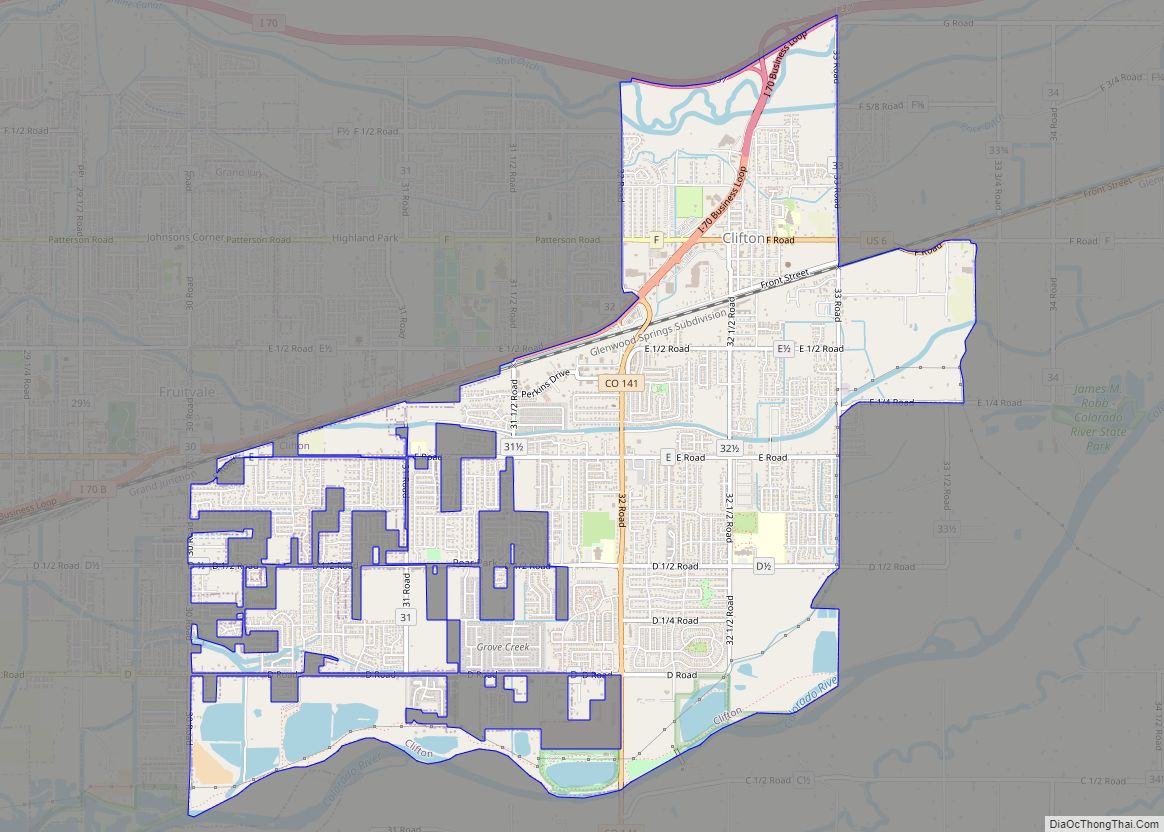
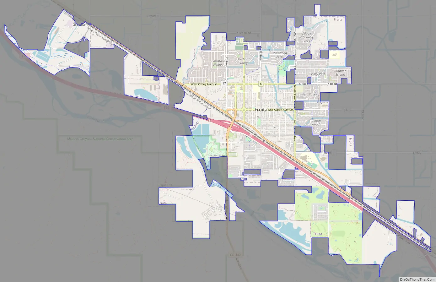
Fruita Road Map
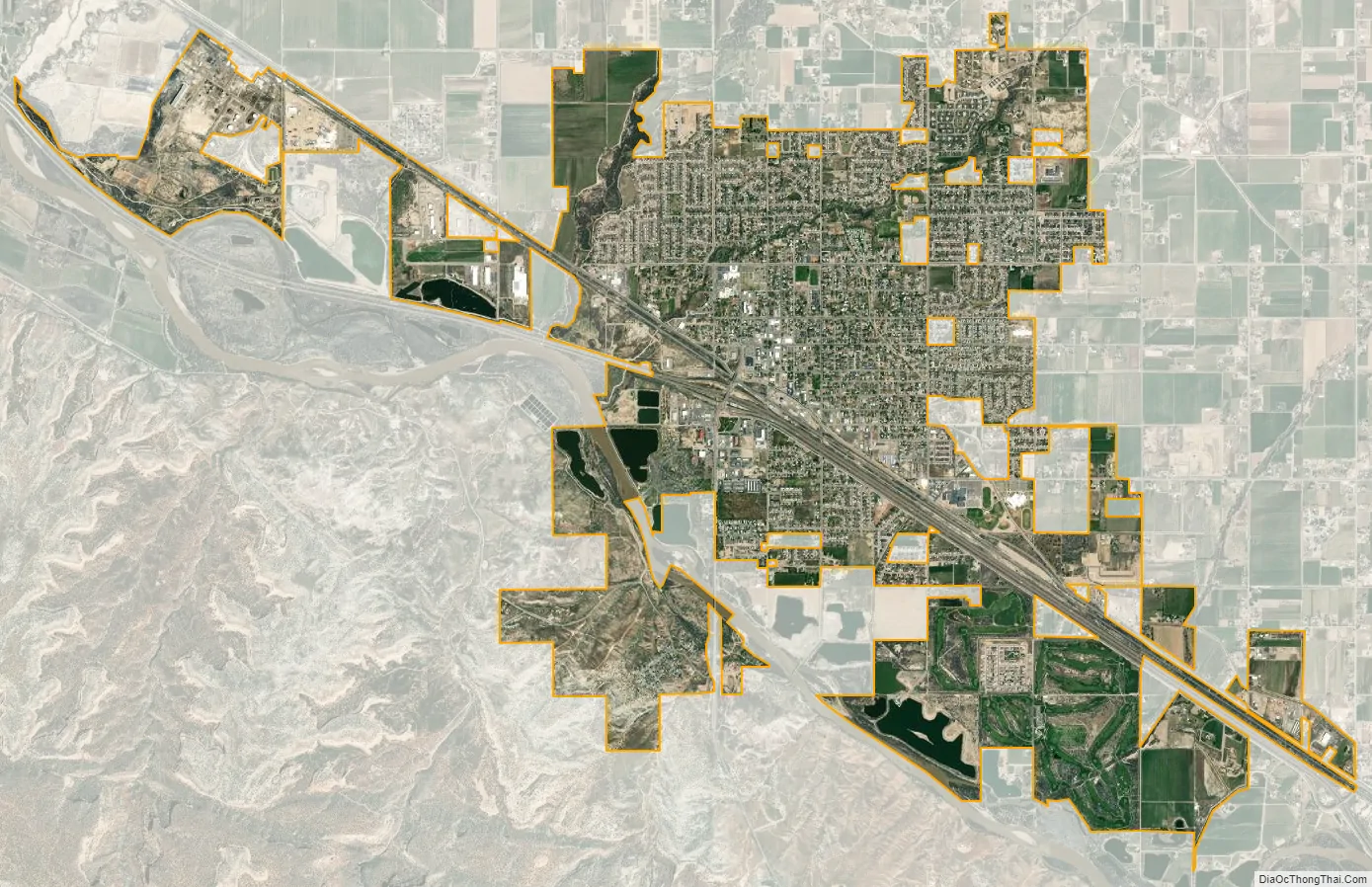
Fruita city Satellite Map
Geography
Fruita is located at 39°9′N 108°43′W / 39.150°N 108.717°W / 39.150; -108.717 (39.156594, −108.724554). It is 4,514 feet (1,376 m) above sea level in the high desert climate zone on the Colorado Plateau. Surrounding the city limits is the Colorado River, the Colorado National Monument and the Book Cliffs range which extends west into the state of Utah north of Interstate 70.
At the 2020 United States Census, the city had a total area of 5,237 acres (21.193 km) including 186 acres (0.754 km) of water.
Distance from Fruita to: Grand Junction-15 mi (24 km), Utah-17 mi (27 km), Montrose-73 mi (117 km), Glenwood Springs-99 mi (159 km), Denver-255 mi (410 km), Salt Lake City-265 mi (426 km).
Climate
Under the Köppen climate classification Fruita has a cold semi-arid climate, being a dry continental climate. Seasonal differences between the hot summers and cold winters are drastic. Even so, winter days average well above freezing due to solar warming during daytime. The coldest and hottest months of the year are January and July respectively. The annual average precipitation is 9.89 inches (251 mm). Due to the low precipitation, in spite of winter average lows of about 15 °F (−9 °C), the average year sees just three inches of snow on the ground at the accumulation maximum. The average annual number of growing days is 145 days. The average annual temperature is around 52 °F (11 °C). Fruita experiences an average of 300 days of sunshine per year.
See also
Map of Colorado State and its subdivision:- Adams
- Alamosa
- Arapahoe
- Archuleta
- Baca
- Bent
- Boulder
- Broomfield
- Chaffee
- Cheyenne
- Clear Creek
- Conejos
- Costilla
- Crowley
- Custer
- Delta
- Denver
- Dolores
- Douglas
- Eagle
- El Paso
- Elbert
- Fremont
- Garfield
- Gilpin
- Grand
- Gunnison
- Hinsdale
- Huerfano
- Jackson
- Jefferson
- Kiowa
- Kit Carson
- La Plata
- Lake
- Larimer
- Las Animas
- Lincoln
- Logan
- Mesa
- Mineral
- Moffat
- Montezuma
- Montrose
- Morgan
- Otero
- Ouray
- Park
- Phillips
- Pitkin
- Prowers
- Pueblo
- Rio Blanco
- Rio Grande
- Routt
- Saguache
- San Juan
- San Miguel
- Sedgwick
- Summit
- Teller
- Washington
- Weld
- Yuma
- Alabama
- Alaska
- Arizona
- Arkansas
- California
- Colorado
- Connecticut
- Delaware
- District of Columbia
- Florida
- Georgia
- Hawaii
- Idaho
- Illinois
- Indiana
- Iowa
- Kansas
- Kentucky
- Louisiana
- Maine
- Maryland
- Massachusetts
- Michigan
- Minnesota
- Mississippi
- Missouri
- Montana
- Nebraska
- Nevada
- New Hampshire
- New Jersey
- New Mexico
- New York
- North Carolina
- North Dakota
- Ohio
- Oklahoma
- Oregon
- Pennsylvania
- Rhode Island
- South Carolina
- South Dakota
- Tennessee
- Texas
- Utah
- Vermont
- Virginia
- Washington
- West Virginia
- Wisconsin
- Wyoming