Idledale is an unincorporated town, a post office, and a census-designated place (CDP) located in and governed by Jefferson County, Colorado, United States. The CDP is a part of the Denver–Aurora–Lakewood, CO Metropolitan Statistical Area. The Idledale post office has the ZIP code 80453. At the United States Census 2020, the population of the Idledale CDP was 244.
| Name: | Idledale CDP |
|---|---|
| LSAD Code: | 57 |
| LSAD Description: | CDP (suffix) |
| State: | Colorado |
| County: | Jefferson County |
| Elevation: | 6,598 ft (2,011 m) |
| Total Area: | 0.277 sq mi (0.717 km²) |
| Land Area: | 0.277 sq mi (0.717 km²) |
| Water Area: | 0.000 sq mi (0.000 km²) |
| Total Population: | 244 |
| Population Density: | 880/sq mi (340/km²) |
| ZIP code: | 80453 |
| FIPS code: | 0838480 |
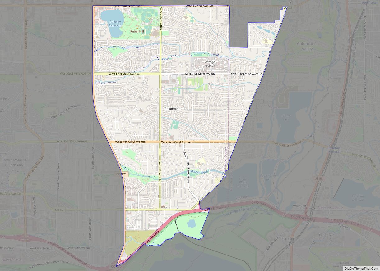
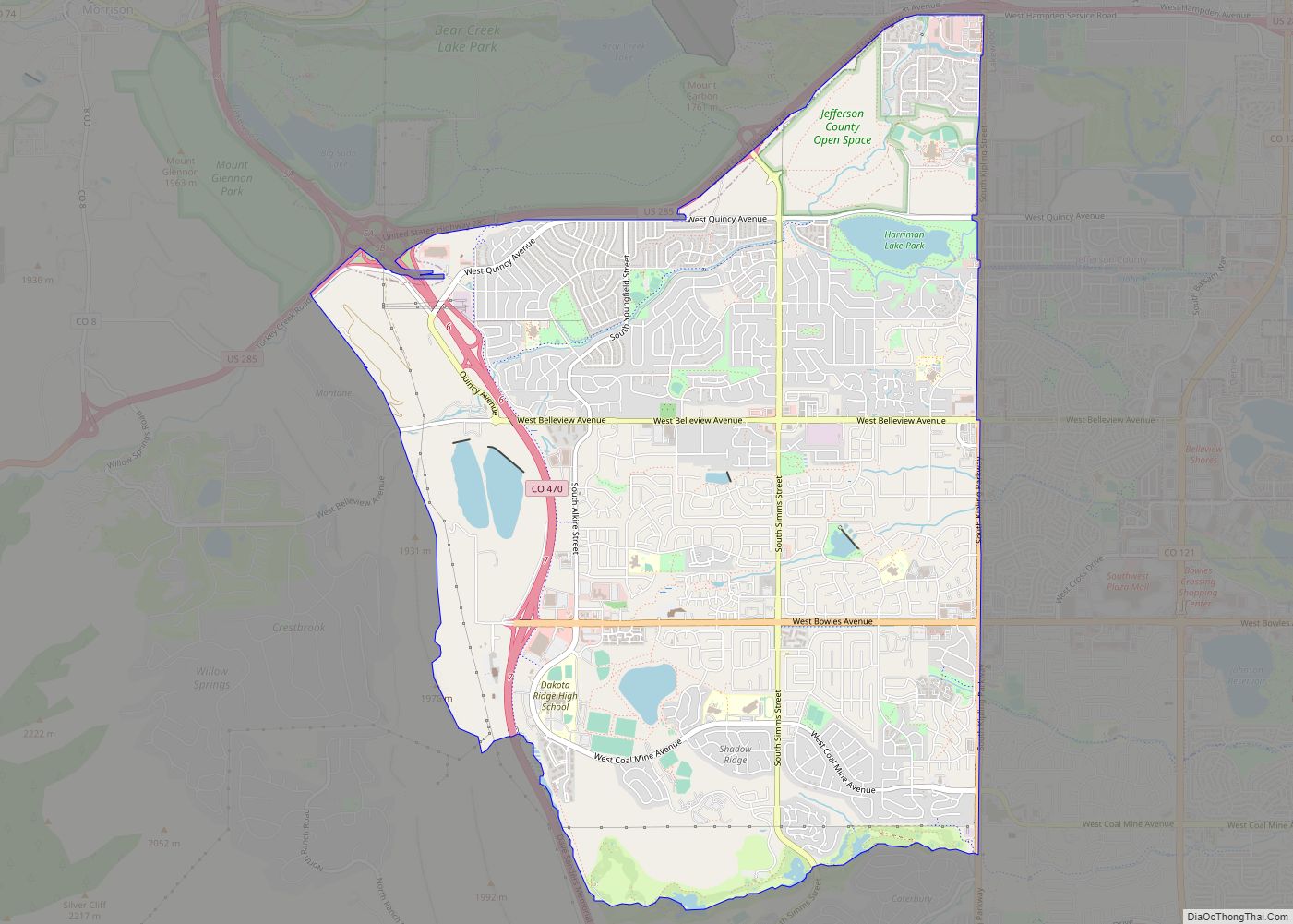
Online Interactive Map
Click on ![]() to view map in "full screen" mode.
to view map in "full screen" mode.
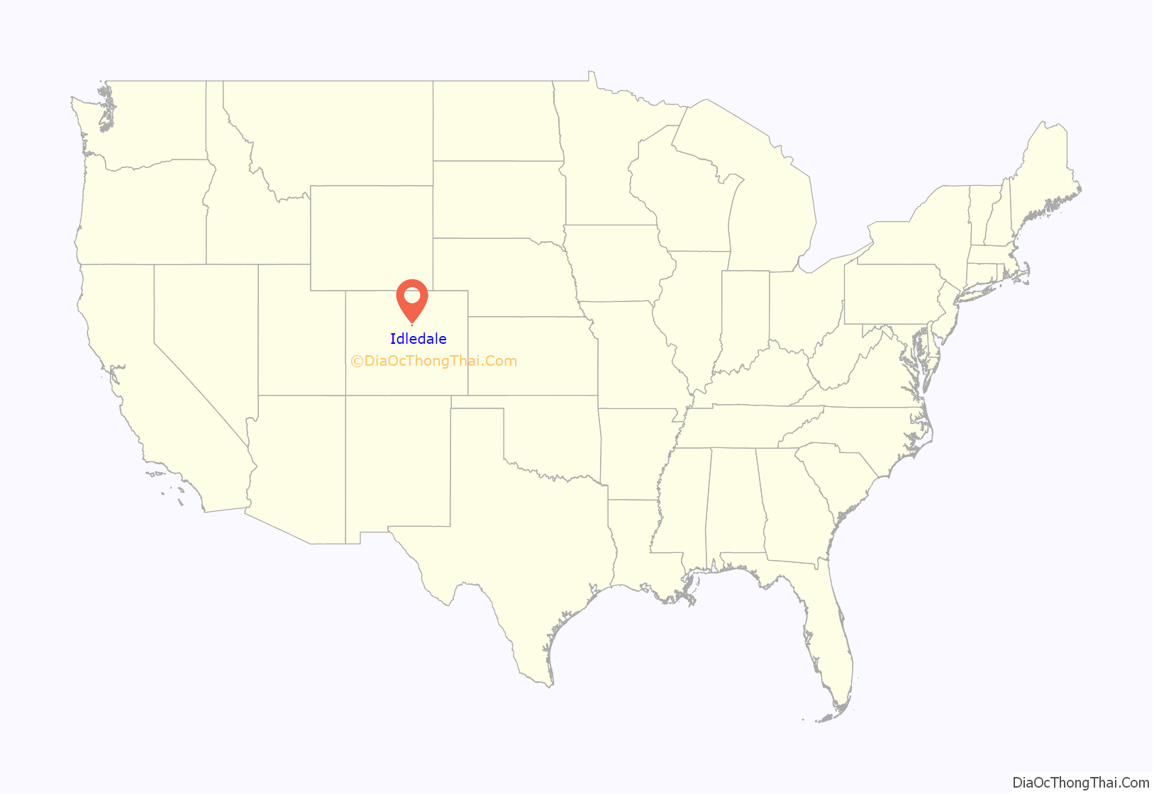
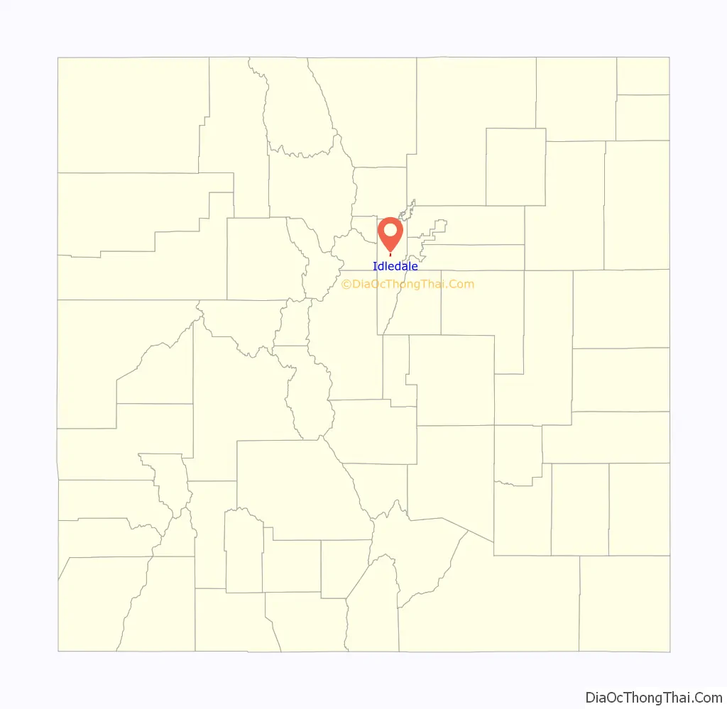
Idledale location map. Where is Idledale CDP?
History
Originally called “Starbuck Heights”, the town was almost washed out by a storm in 1933. When it was rebuilt, the town became known as Idledale.
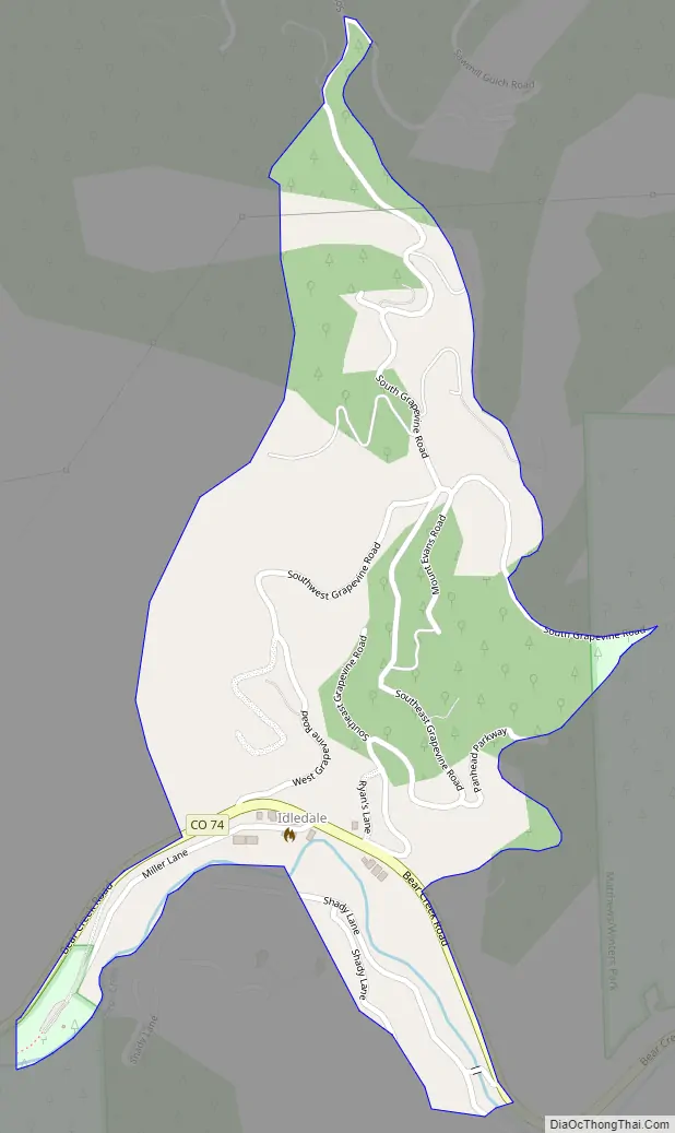
Idledale Road Map
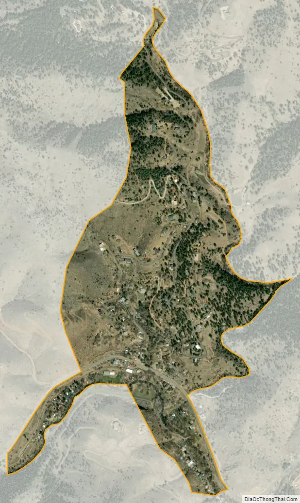
Idledale city Satellite Map
Geography
Idledale is located on the north side of Bear Creek. Colorado State Highway 74 passes through the community as it traverses Bear Creek Canyon; to the east, the highway is known as Bear Creek Canyon Scenic Mountain Drive and leads downstream 4 miles (6 km) to Morrison; to the west the highway leads up the canyon the same distance to Kittredge.
The Idledale CDP has an area of 177 acres (0.717 km), all land.
See also
Map of Colorado State and its subdivision:- Adams
- Alamosa
- Arapahoe
- Archuleta
- Baca
- Bent
- Boulder
- Broomfield
- Chaffee
- Cheyenne
- Clear Creek
- Conejos
- Costilla
- Crowley
- Custer
- Delta
- Denver
- Dolores
- Douglas
- Eagle
- El Paso
- Elbert
- Fremont
- Garfield
- Gilpin
- Grand
- Gunnison
- Hinsdale
- Huerfano
- Jackson
- Jefferson
- Kiowa
- Kit Carson
- La Plata
- Lake
- Larimer
- Las Animas
- Lincoln
- Logan
- Mesa
- Mineral
- Moffat
- Montezuma
- Montrose
- Morgan
- Otero
- Ouray
- Park
- Phillips
- Pitkin
- Prowers
- Pueblo
- Rio Blanco
- Rio Grande
- Routt
- Saguache
- San Juan
- San Miguel
- Sedgwick
- Summit
- Teller
- Washington
- Weld
- Yuma
- Alabama
- Alaska
- Arizona
- Arkansas
- California
- Colorado
- Connecticut
- Delaware
- District of Columbia
- Florida
- Georgia
- Hawaii
- Idaho
- Illinois
- Indiana
- Iowa
- Kansas
- Kentucky
- Louisiana
- Maine
- Maryland
- Massachusetts
- Michigan
- Minnesota
- Mississippi
- Missouri
- Montana
- Nebraska
- Nevada
- New Hampshire
- New Jersey
- New Mexico
- New York
- North Carolina
- North Dakota
- Ohio
- Oklahoma
- Oregon
- Pennsylvania
- Rhode Island
- South Carolina
- South Dakota
- Tennessee
- Texas
- Utah
- Vermont
- Virginia
- Washington
- West Virginia
- Wisconsin
- Wyoming