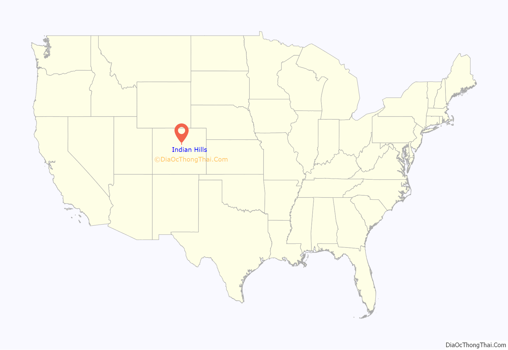
Indian Hills is an unincorporated town, a post office, and a census-designated place (CDP) located in and governed by Jefferson County, Colorado, United States. The CDP is a part of the Denver–Aurora–Lakewood, CO Metropolitan Statistical Area. The Indian Hills post office has the ZIP code 80454. At the United States Census 2020, the population of the Indian Hills CDP was 1,474.
| Name: | Indian Hills CDP |
|---|---|
| LSAD Code: | 57 |
| LSAD Description: | CDP (suffix) |
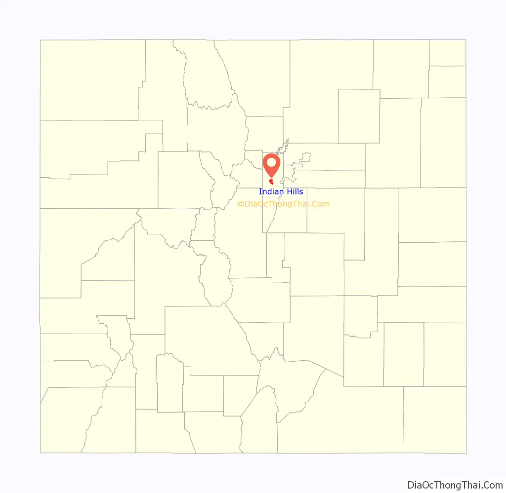
| State: | Colorado |
| County: | Jefferson County |
| Elevation: | 7,211 ft (2,198 m) |
| Total Area: | 5.429 sq mi (14.060 km²) |
| Land Area: | 5.425 sq mi (14.051 km²) |
| Water Area: | 0.003 sq mi (0.009 km²) |
| Total Population: | 1,474 |
| Population Density: | 270/sq mi (100/km²) |
| ZIP code: | 80454 |
| FIPS code: | 0838810 |
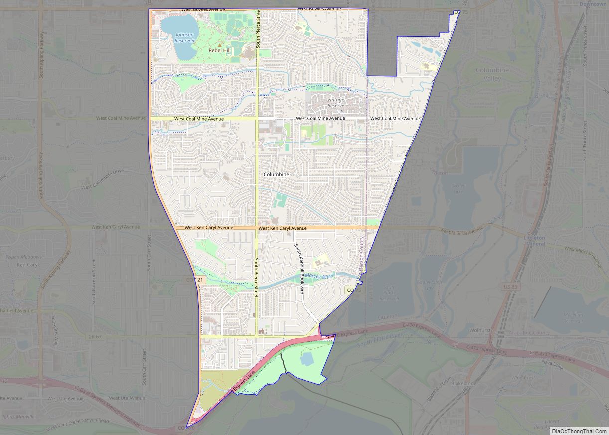
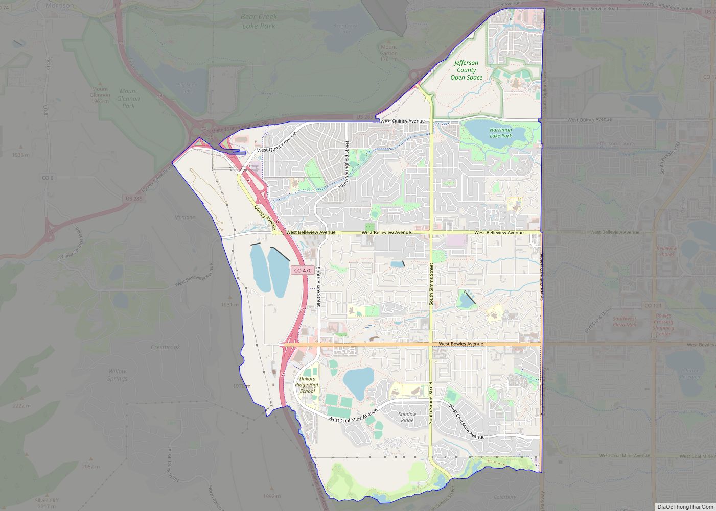
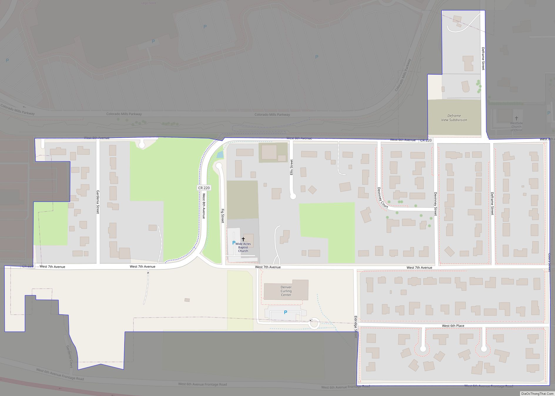
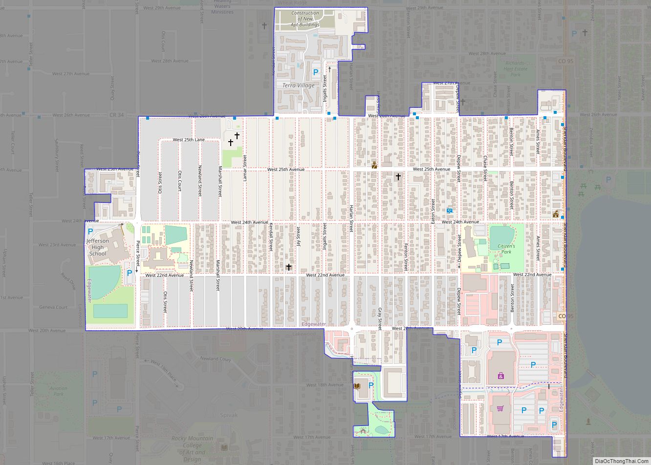
Online Interactive Map
Click on ![]() to view map in "full screen" mode.
to view map in "full screen" mode.
Indian Hills location map. Where is Indian Hills CDP?
History
John D. Parmalee (1813–1885) came to Colorado in 1860 and settled in Mount Vernon. In 1866, he was granted a charter for a toll road between Morrison and Bradford Junction (Conifer); the Denver and Turkey Creek Toll Road opened in 1870. Parmalee also operated sawmills and shingle mills in the area. He was later commissioned to build a road from Turkey Creek to Bergen Park, along what is known as Parmalee Gulch.
In 1885, Parmalee sold his interest in the toll road to Benjamin F. Eden (1848–1932), who became tollgate keeper from 1877 to 1883. In 1886, Eden sold the road to Jefferson County. Eden bought properties in the northern end of Parmalee Gulch, which became known as Eden Park. In time he acquired more than 1,000 acres (4.0 km), attracting the interest of developers. With the Panic of 1893 and crash in silver prices, the development foundered and Eden recovered the property. He continued to farm the area, raising cattle, horses, hay, and potatoes.
George W. Olinger, son of mortuary founders John and Emma Olinger, became interested in the area in 1918, and purchased the Eden property in 1921. Olinger planned a development to be called “Indian Hills,” and built a golf course on part of Eden’s land. The first filing was recorded at Jefferson County in June 1923, making Indian Hills the community’s official name. Filings were named to recall the association with original inhabitants: Arrowhead Park, Ute & Cherokee Village, and Shawnee Village. “Eden Park” became the fifth filing of Olinger’s development, and was platted in 1926. Models of summer cabins were built of logs, and small lots were sold to Denver residents seeking summer homes in the mountains.
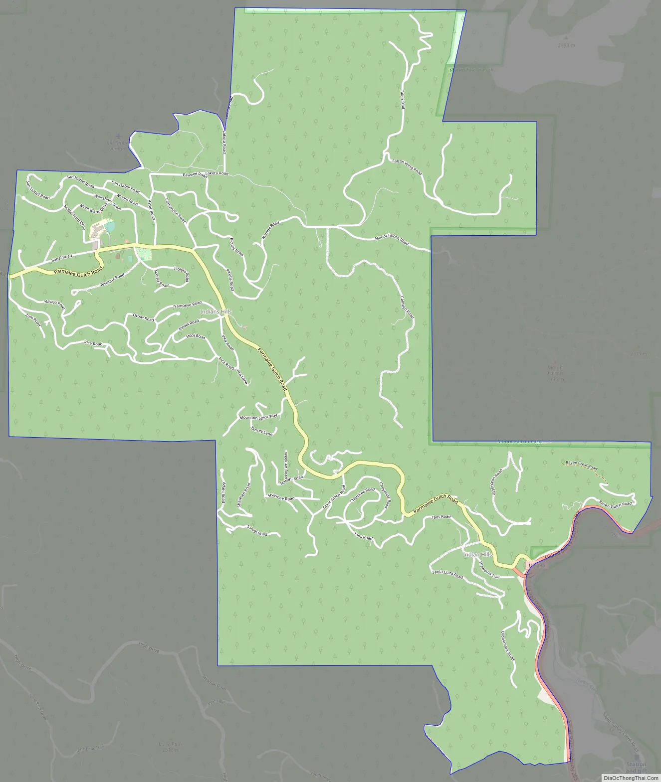
Indian Hills Road Map
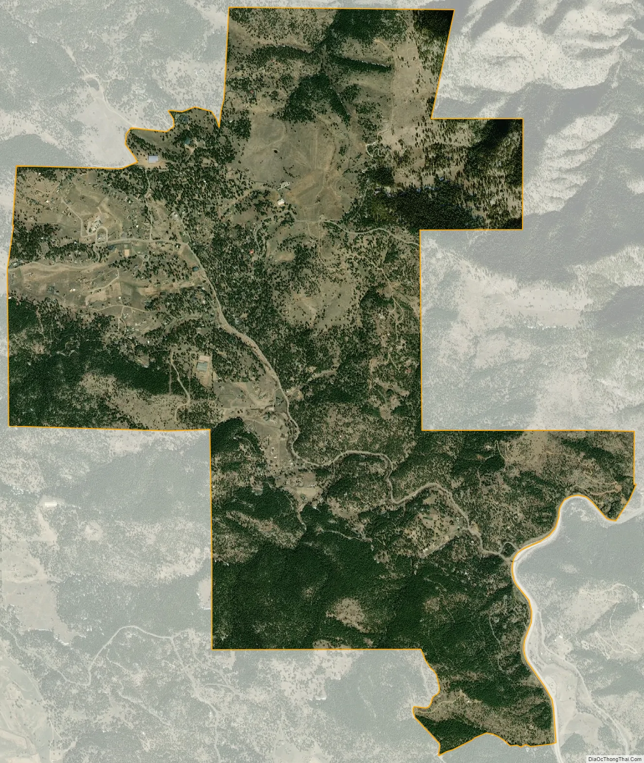
Indian Hills city Satellite Map
Geography
Indian Hills extends along the Parmalee Gulch and Myers Gulch Roads between State Highway 74 at Kittredge, Colorado, and U.S. Highway 285 at Turkey Creek.
The Indian Hills CDP has an area of 3,474 acres (14.060 km), including 2.2 acres (0.009 km) of water.
See also
Map of Colorado State and its subdivision:- Adams
- Alamosa
- Arapahoe
- Archuleta
- Baca
- Bent
- Boulder
- Broomfield
- Chaffee
- Cheyenne
- Clear Creek
- Conejos
- Costilla
- Crowley
- Custer
- Delta
- Denver
- Dolores
- Douglas
- Eagle
- El Paso
- Elbert
- Fremont
- Garfield
- Gilpin
- Grand
- Gunnison
- Hinsdale
- Huerfano
- Jackson
- Jefferson
- Kiowa
- Kit Carson
- La Plata
- Lake
- Larimer
- Las Animas
- Lincoln
- Logan
- Mesa
- Mineral
- Moffat
- Montezuma
- Montrose
- Morgan
- Otero
- Ouray
- Park
- Phillips
- Pitkin
- Prowers
- Pueblo
- Rio Blanco
- Rio Grande
- Routt
- Saguache
- San Juan
- San Miguel
- Sedgwick
- Summit
- Teller
- Washington
- Weld
- Yuma
- Alabama
- Alaska
- Arizona
- Arkansas
- California
- Colorado
- Connecticut
- Delaware
- District of Columbia
- Florida
- Georgia
- Hawaii
- Idaho
- Illinois
- Indiana
- Iowa
- Kansas
- Kentucky
- Louisiana
- Maine
- Maryland
- Massachusetts
- Michigan
- Minnesota
- Mississippi
- Missouri
- Montana
- Nebraska
- Nevada
- New Hampshire
- New Jersey
- New Mexico
- New York
- North Carolina
- North Dakota
- Ohio
- Oklahoma
- Oregon
- Pennsylvania
- Rhode Island
- South Carolina
- South Dakota
- Tennessee
- Texas
- Utah
- Vermont
- Virginia
- Washington
- West Virginia
- Wisconsin
- Wyoming