The Town of Lakeside is a Statutory Town in Jefferson County, Colorado, United States. The town population was 16 at the 2020 United States Census, making Lakeside the least populous municipality in the State of Colorado. Lakeside is immediately west of the City and County of Denver, the most populous municipality in the state. The Denver Post Office (ZIP Code 80212) serves Lakeside.
The town’s namesake lake is Lake Rhoda, which covers 20% of its total area. A year after its incorporation on November 12, 1907, the Lakeside Amusement Park, nicknamed “White City”, opened on the eastern shores. Both town and park were founded by a syndicate led by prominent Denver brewer Adolph Zang, who endeavored to build the resort just across the county line from Denver, and incorporated to move beyond the reach of Denver liquor laws. A shopping mall, Lakeside Center, was built in 1956 on the southern shore, but fell into financial troubles due to lack of business around the turn of the century and was converted into a Walmart and strip mall circa 2010. The amusement park, shopping area, and lake occupy almost all of the tiny municipality. Residences are limited to a handful of houses in the southeast corner of the town occupied by employees of the amusement park.
| Name: | Lakeside town |
|---|---|
| LSAD Code: | 43 |
| LSAD Description: | town (suffix) |
| State: | Colorado |
| County: | Jefferson County |
| Incorporated: | November 25, 1907 |
| Elevation: | 5,364 ft (1,635 m) |
| Total Area: | 0.25 sq mi (0.64 km²) |
| Land Area: | 0.19 sq mi (0.49 km²) |
| Water Area: | 0.06 sq mi (0.16 km²) |
| Total Population: | 16 |
| Population Density: | 64/sq mi (25/km²) |
| ZIP code: | Denver CO 80212 |
| Area code: | Both 303 and 720 |
| FIPS code: | 0842495 |
| GNISfeature ID: | 1669462 |
Online Interactive Map
Click on ![]() to view map in "full screen" mode.
to view map in "full screen" mode.
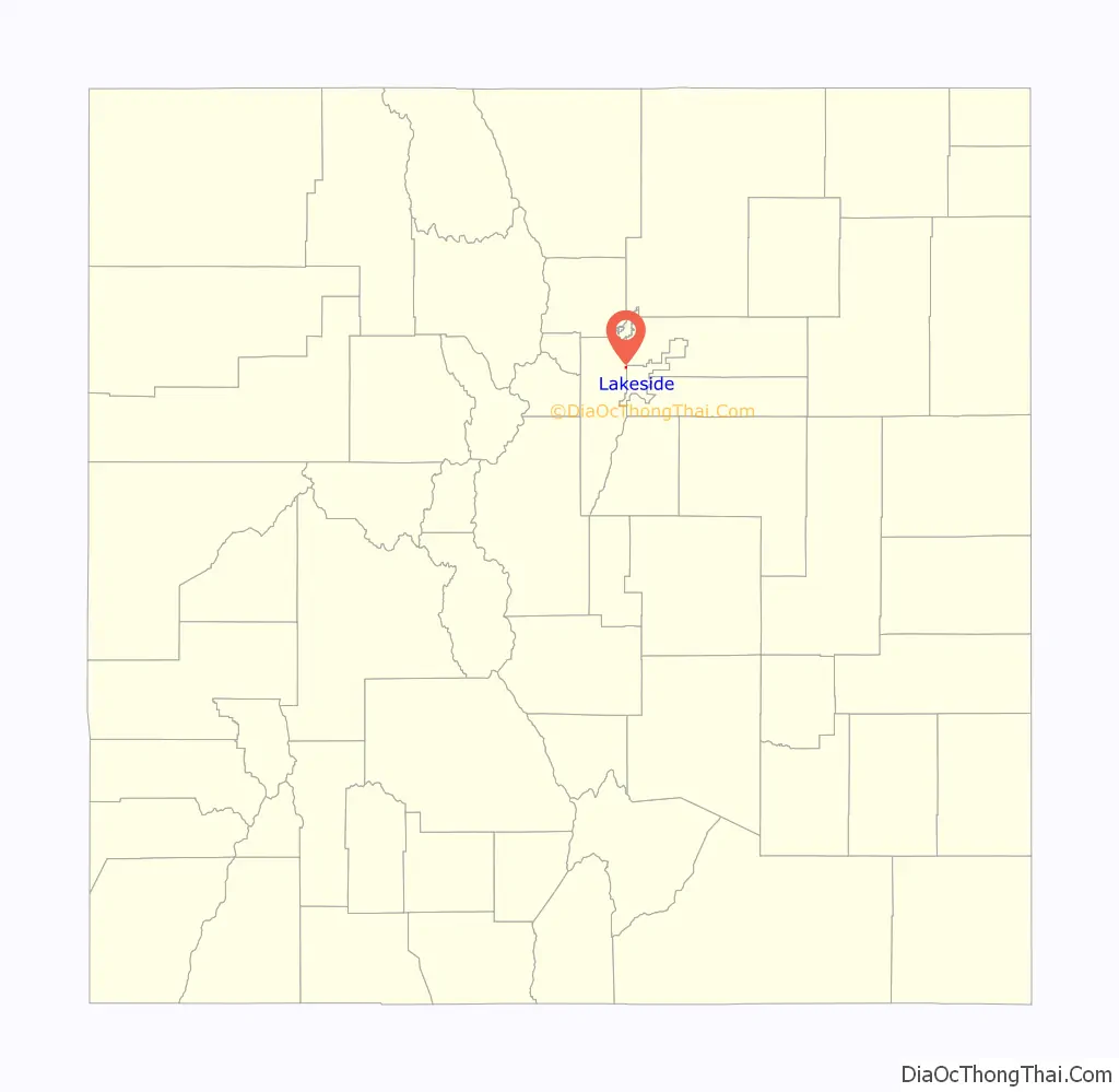
Lakeside location map. Where is Lakeside town?
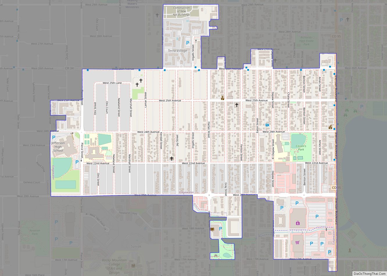
Lakeside Road Map
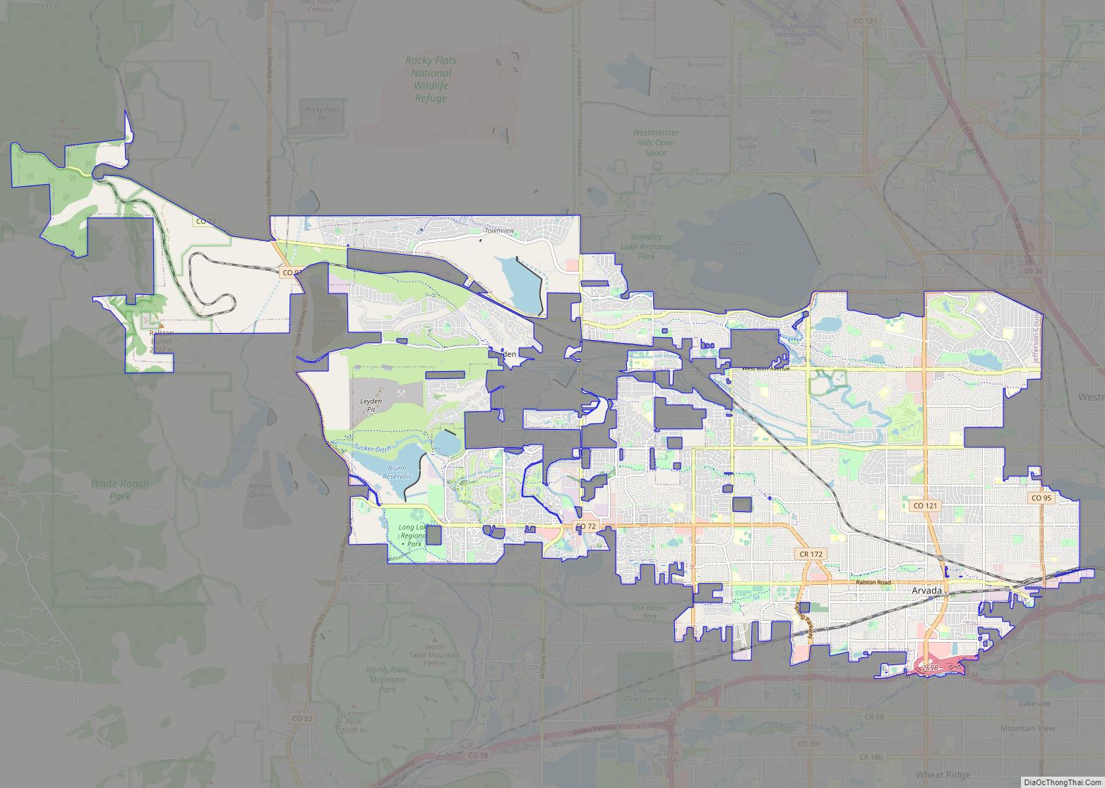
Lakeside city Satellite Map
Geography
Lakeside is located at 39°47′0″N 105°3′25″W / 39.78333°N 105.05694°W / 39.78333; -105.05694. According to the United States Census Bureau, the town has a total area of 0.2 square miles (0.52 km), of which, 0.2 square miles (0.52 km) of it is land and 0.1 square miles (0.26 km) of it (20.83%) is water.
See also
Map of Colorado State and its subdivision:- Adams
- Alamosa
- Arapahoe
- Archuleta
- Baca
- Bent
- Boulder
- Broomfield
- Chaffee
- Cheyenne
- Clear Creek
- Conejos
- Costilla
- Crowley
- Custer
- Delta
- Denver
- Dolores
- Douglas
- Eagle
- El Paso
- Elbert
- Fremont
- Garfield
- Gilpin
- Grand
- Gunnison
- Hinsdale
- Huerfano
- Jackson
- Jefferson
- Kiowa
- Kit Carson
- La Plata
- Lake
- Larimer
- Las Animas
- Lincoln
- Logan
- Mesa
- Mineral
- Moffat
- Montezuma
- Montrose
- Morgan
- Otero
- Ouray
- Park
- Phillips
- Pitkin
- Prowers
- Pueblo
- Rio Blanco
- Rio Grande
- Routt
- Saguache
- San Juan
- San Miguel
- Sedgwick
- Summit
- Teller
- Washington
- Weld
- Yuma
- Alabama
- Alaska
- Arizona
- Arkansas
- California
- Colorado
- Connecticut
- Delaware
- District of Columbia
- Florida
- Georgia
- Hawaii
- Idaho
- Illinois
- Indiana
- Iowa
- Kansas
- Kentucky
- Louisiana
- Maine
- Maryland
- Massachusetts
- Michigan
- Minnesota
- Mississippi
- Missouri
- Montana
- Nebraska
- Nevada
- New Hampshire
- New Jersey
- New Mexico
- New York
- North Carolina
- North Dakota
- Ohio
- Oklahoma
- Oregon
- Pennsylvania
- Rhode Island
- South Carolina
- South Dakota
- Tennessee
- Texas
- Utah
- Vermont
- Virginia
- Washington
- West Virginia
- Wisconsin
- Wyoming

