The Town of Lochbuie (/lɒkˈbuːi/ lok-BOO-ee) is a statutory town located in Weld and Adams counties in the U.S. state of Colorado. The town population was 8,088 at the 2020 United States Census.
| Name: | Lochbuie town |
|---|---|
| LSAD Code: | 43 |
| LSAD Description: | town (suffix) |
| State: | Colorado |
| County: | Adams County, Weld County |
| Incorporated: | May 1974 |
| Elevation: | 5,020 ft (1,530 m) |
| Total Area: | 3.71 sq mi (9.60 km²) |
| Land Area: | 3.69 sq mi (9.54 km²) |
| Water Area: | 0.02 sq mi (0.06 km²) |
| Total Population: | 8,088 |
| Population Density: | 2,200/sq mi (840/km²) |
| ZIP code: | 80603 |
| Area code: | Both 303 and 720 |
| FIPS code: | 0845530 |
| GNISfeature ID: | 1669461 |
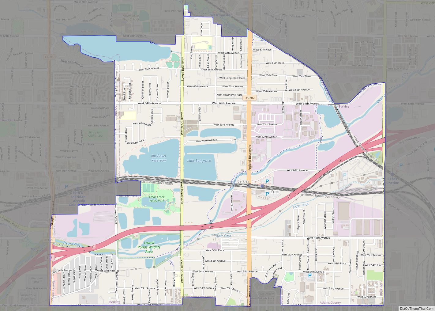
Online Interactive Map
Click on ![]() to view map in "full screen" mode.
to view map in "full screen" mode.
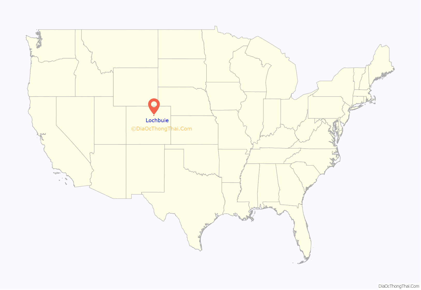
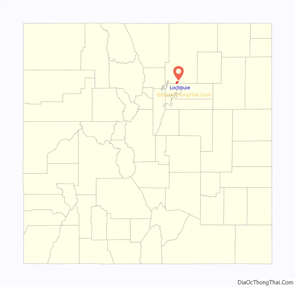
Lochbuie location map. Where is Lochbuie town?
History
Lochbuie was developed in the 1960s as the Spacious Living Mobile Home Park and known as Space City until it was incorporated in 1974. The town was named Lochbuie after Lochbuie, Mull, in Scotland.
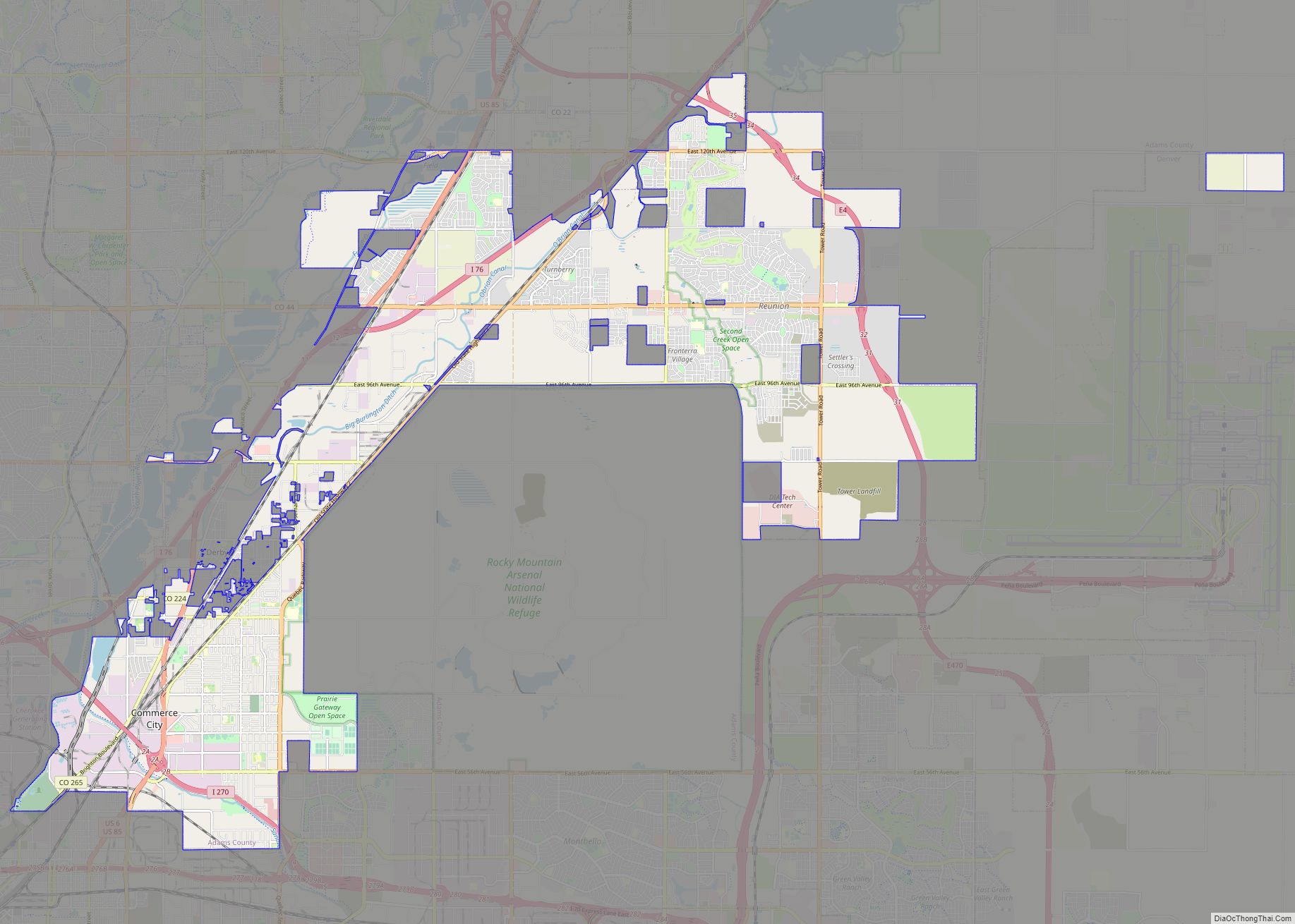
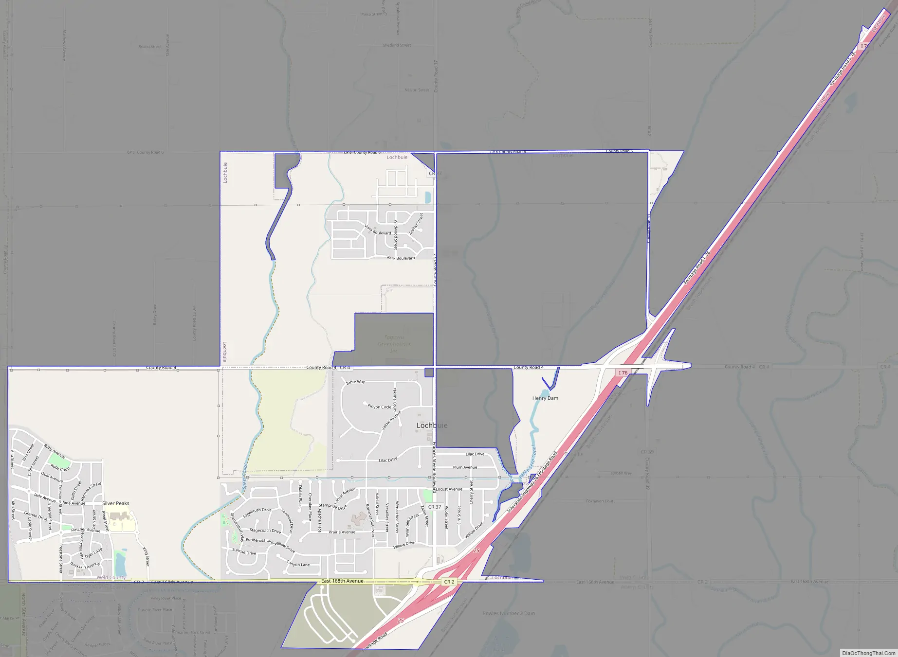
Lochbuie Road Map
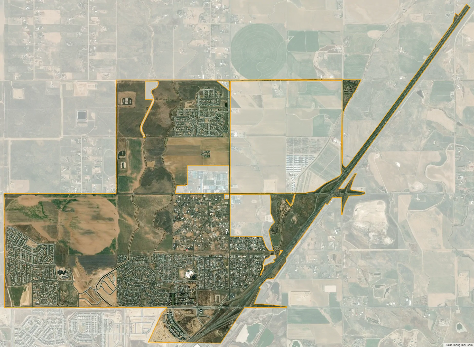
Lochbuie city Satellite Map
Geography
Lochbuie is located at 40°0′36″N 104°42′29″W / 40.01000°N 104.70806°W / 40.01000; -104.70806 (40.009864, -104.708080).
According to the United States Census Bureau, the town has a total area of 1.4 square miles (3.5 km), of which, 1.3 square miles (3.5 km) of it is land and 0.04 square miles (0.1 km) of it (1.47%) is water.
See also
Map of Colorado State and its subdivision:- Adams
- Alamosa
- Arapahoe
- Archuleta
- Baca
- Bent
- Boulder
- Broomfield
- Chaffee
- Cheyenne
- Clear Creek
- Conejos
- Costilla
- Crowley
- Custer
- Delta
- Denver
- Dolores
- Douglas
- Eagle
- El Paso
- Elbert
- Fremont
- Garfield
- Gilpin
- Grand
- Gunnison
- Hinsdale
- Huerfano
- Jackson
- Jefferson
- Kiowa
- Kit Carson
- La Plata
- Lake
- Larimer
- Las Animas
- Lincoln
- Logan
- Mesa
- Mineral
- Moffat
- Montezuma
- Montrose
- Morgan
- Otero
- Ouray
- Park
- Phillips
- Pitkin
- Prowers
- Pueblo
- Rio Blanco
- Rio Grande
- Routt
- Saguache
- San Juan
- San Miguel
- Sedgwick
- Summit
- Teller
- Washington
- Weld
- Yuma
- Alabama
- Alaska
- Arizona
- Arkansas
- California
- Colorado
- Connecticut
- Delaware
- District of Columbia
- Florida
- Georgia
- Hawaii
- Idaho
- Illinois
- Indiana
- Iowa
- Kansas
- Kentucky
- Louisiana
- Maine
- Maryland
- Massachusetts
- Michigan
- Minnesota
- Mississippi
- Missouri
- Montana
- Nebraska
- Nevada
- New Hampshire
- New Jersey
- New Mexico
- New York
- North Carolina
- North Dakota
- Ohio
- Oklahoma
- Oregon
- Pennsylvania
- Rhode Island
- South Carolina
- South Dakota
- Tennessee
- Texas
- Utah
- Vermont
- Virginia
- Washington
- West Virginia
- Wisconsin
- Wyoming