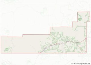
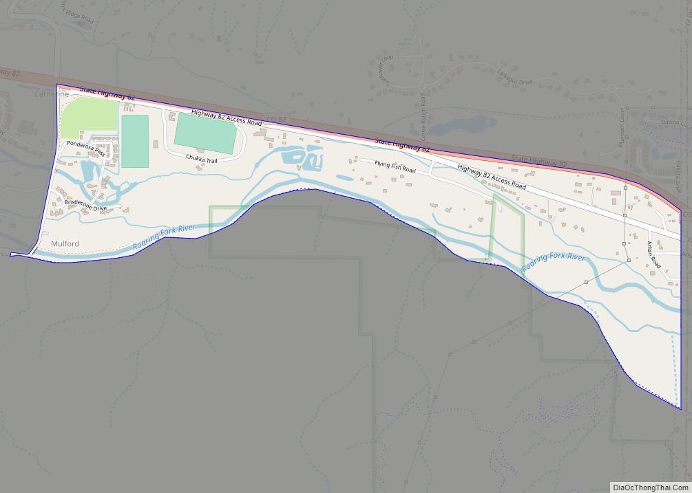
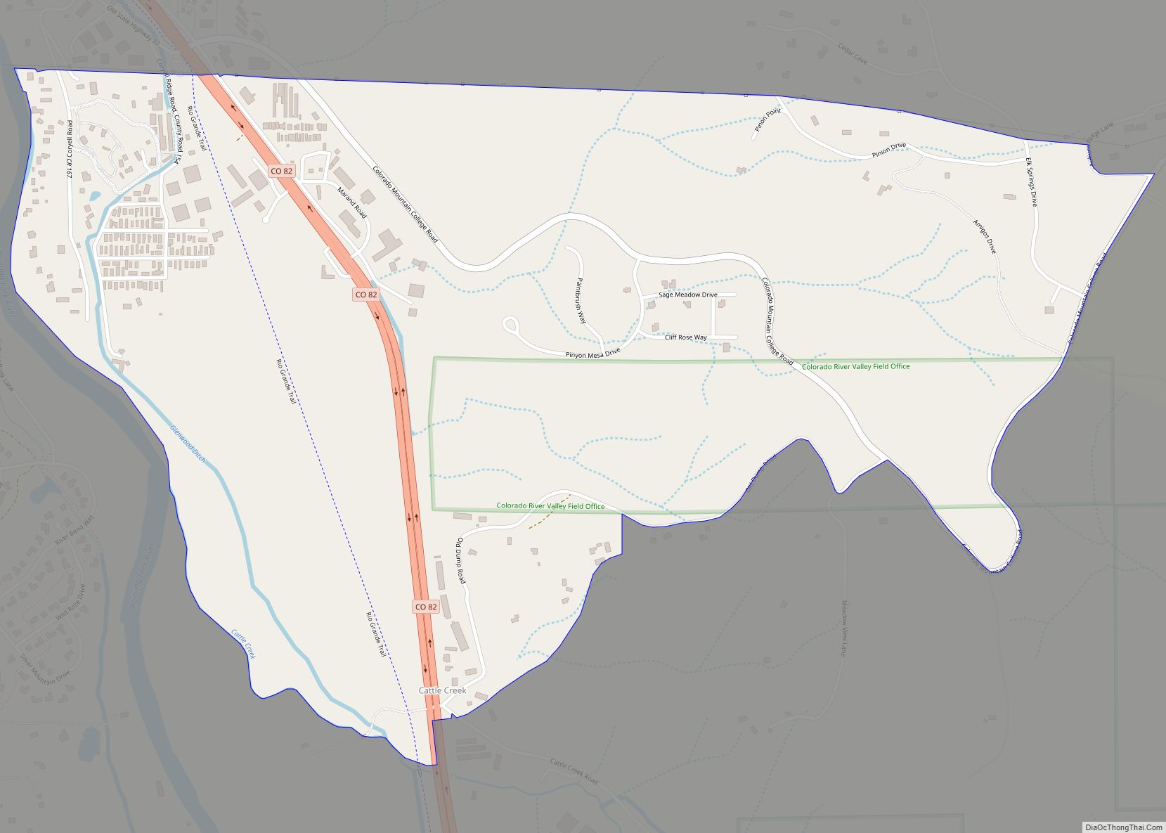
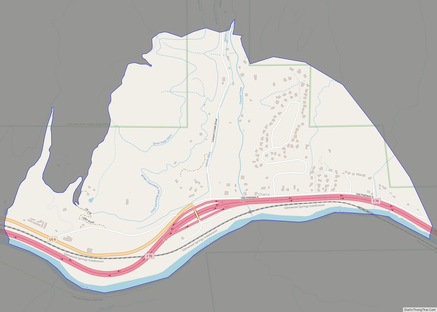
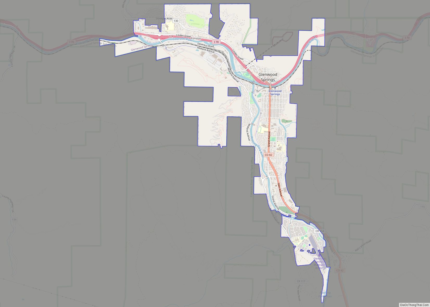
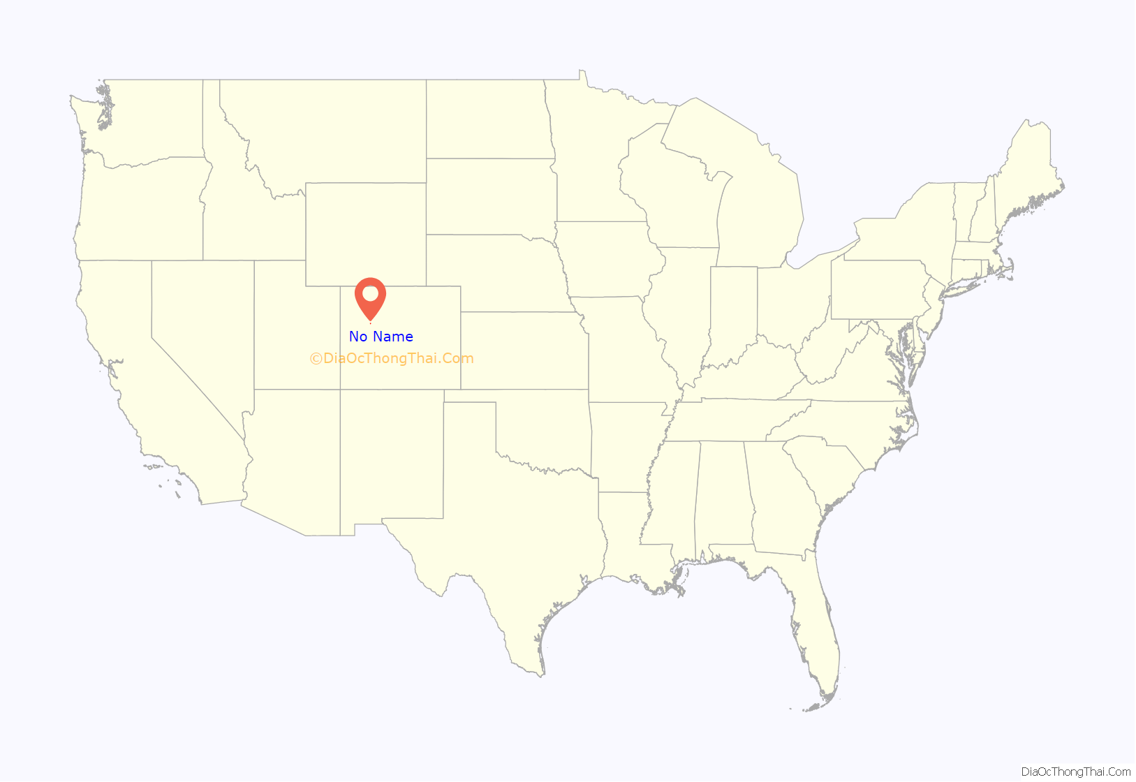
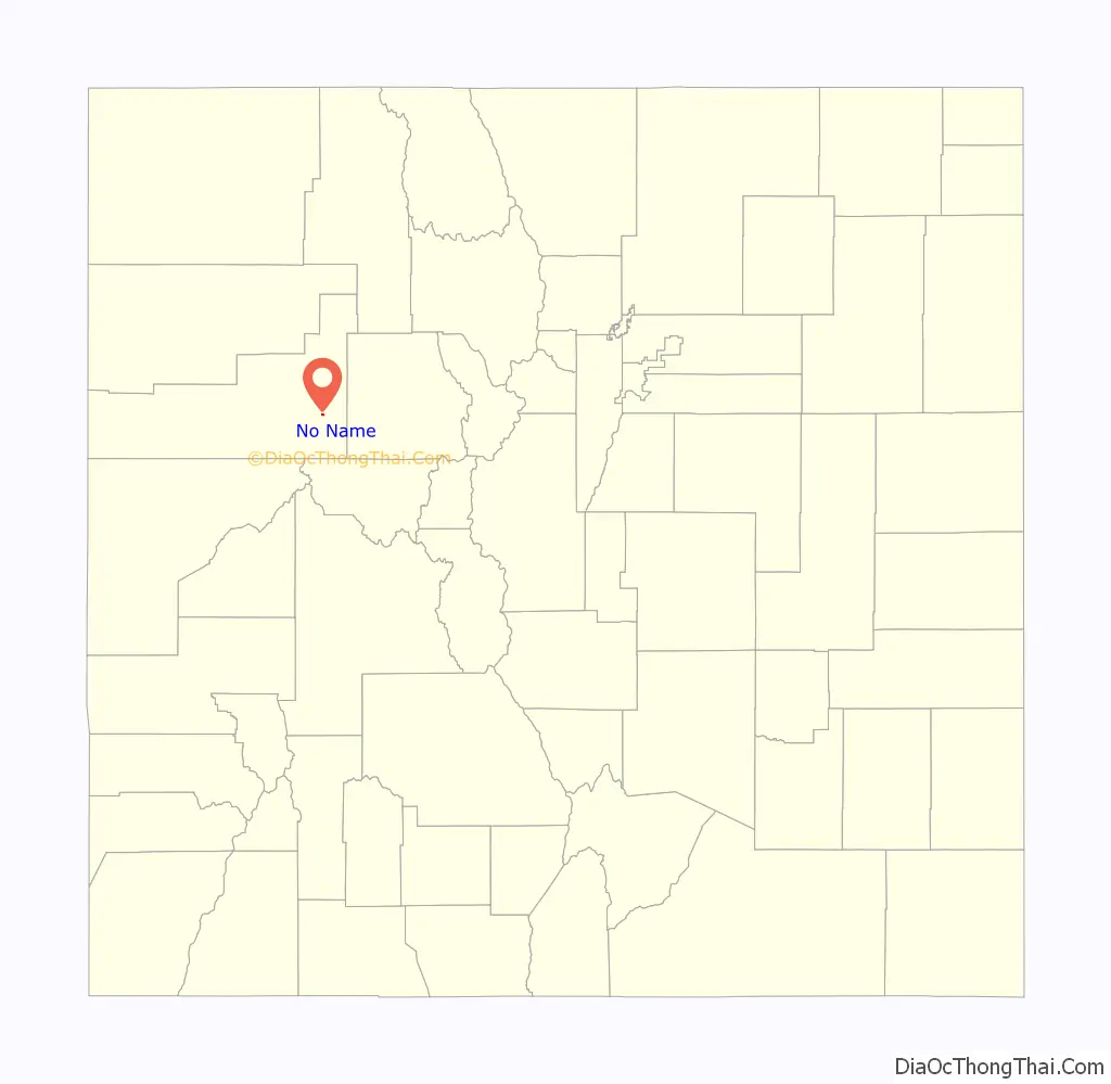
No Name is a census-designated place (CDP) in and governed by Garfield County, Colorado, United States. The CDP is a part of the Glenwood Springs, CO Micropolitan Statistical Area. The population of the No Name CDP was 117 at the United States Census 2020. The Glenwood Springs post office (Zip Code 81601) serves the area.
| Name: | No Name CDP |
|---|---|
| LSAD Code: | 57 |
| LSAD Description: | CDP (suffix) |
| State: | Colorado |
| County: | Garfield County |
| Elevation: | 5,869 ft (1,789 m) |
| Total Area: | 0.179 sq mi (0.463 km²) |
| Land Area: | 0.179 sq mi (0.463 km²) |
| Water Area: | 0.000 sq mi (0.000 km²) |
| Total Population: | 117 |
| Population Density: | 650/sq mi (250/km²) |
| ZIP code: | Glenwood Springs 81601 |
| Area code: | 970 |
| FIPS code: | 0853875 |
Online Interactive Map
Click on ![]() to view map in "full screen" mode.
to view map in "full screen" mode.
No Name location map. Where is No Name CDP?
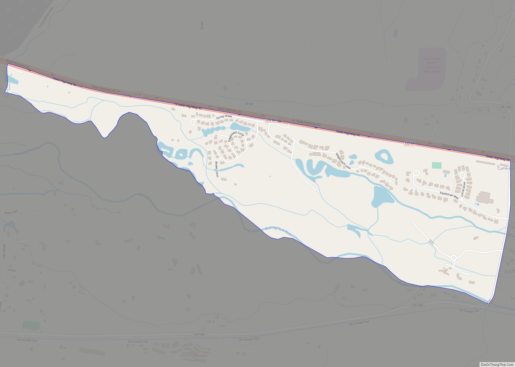
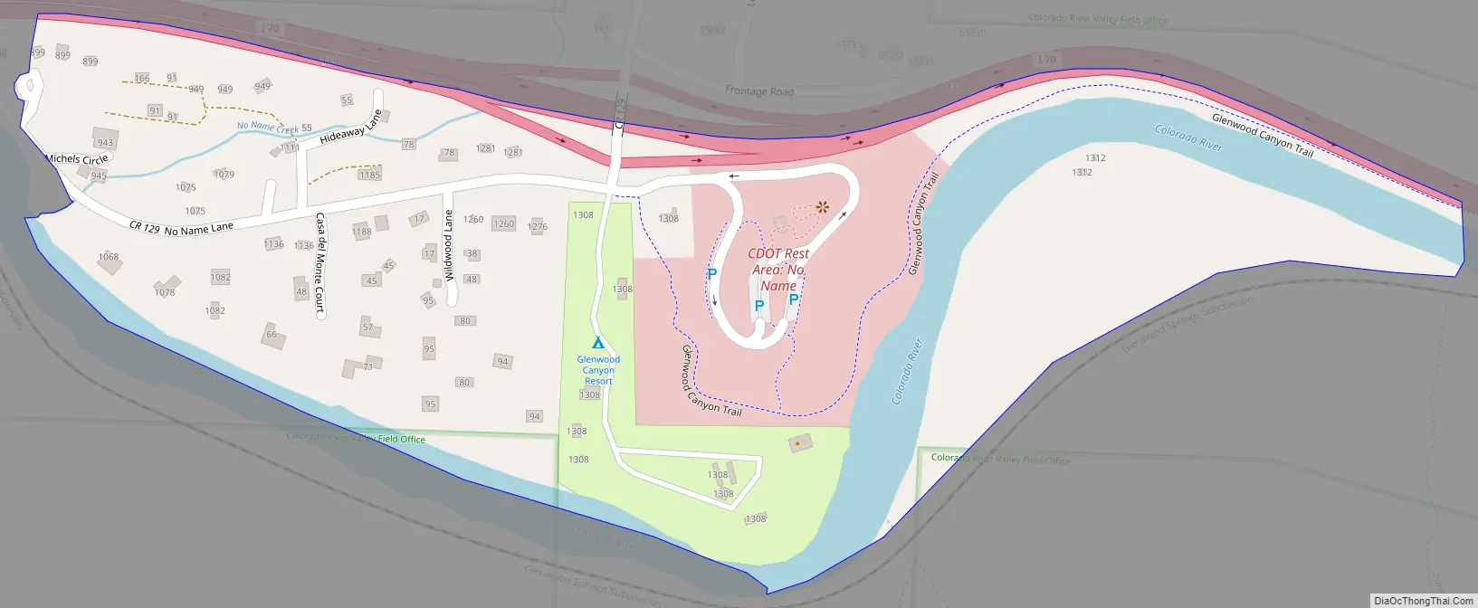
No Name Road Map
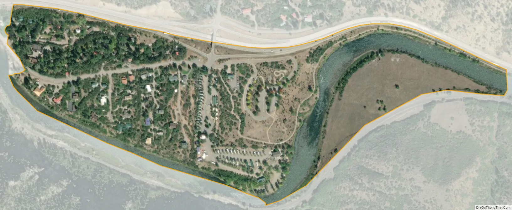
No Name city Satellite Map
Geography
No Name is located east of Glenwood Springs, off Exit 119 of Interstate 70/U.S. Route 6 (I-70/US 6}}in Glenwood Canyon. It is named for No Name Creek and No Name Canyon. The No-Name was one of the boats on John Wesley Powell’s expedition in 1869 to map out the COLORADO River along with the other boats including the Emma Dean, Kitty Clyde’s sister and Maid of the Canyon. The No Name Tunnel of I-70/US 6 is nearby. It has frequently been noted on lists of unusual place names.
The exit sign for No Name is visible in passing in the 1971 film Vanishing Point.
The No Name CDP has an area of 114 acres (0.463 km), all land.
See also
Map of Colorado State and its subdivision:- Adams
- Alamosa
- Arapahoe
- Archuleta
- Baca
- Bent
- Boulder
- Broomfield
- Chaffee
- Cheyenne
- Clear Creek
- Conejos
- Costilla
- Crowley
- Custer
- Delta
- Denver
- Dolores
- Douglas
- Eagle
- El Paso
- Elbert
- Fremont
- Garfield
- Gilpin
- Grand
- Gunnison
- Hinsdale
- Huerfano
- Jackson
- Jefferson
- Kiowa
- Kit Carson
- La Plata
- Lake
- Larimer
- Las Animas
- Lincoln
- Logan
- Mesa
- Mineral
- Moffat
- Montezuma
- Montrose
- Morgan
- Otero
- Ouray
- Park
- Phillips
- Pitkin
- Prowers
- Pueblo
- Rio Blanco
- Rio Grande
- Routt
- Saguache
- San Juan
- San Miguel
- Sedgwick
- Summit
- Teller
- Washington
- Weld
- Yuma
- Alabama
- Alaska
- Arizona
- Arkansas
- California
- Colorado
- Connecticut
- Delaware
- District of Columbia
- Florida
- Georgia
- Hawaii
- Idaho
- Illinois
- Indiana
- Iowa
- Kansas
- Kentucky
- Louisiana
- Maine
- Maryland
- Massachusetts
- Michigan
- Minnesota
- Mississippi
- Missouri
- Montana
- Nebraska
- Nevada
- New Hampshire
- New Jersey
- New Mexico
- New York
- North Carolina
- North Dakota
- Ohio
- Oklahoma
- Oregon
- Pennsylvania
- Rhode Island
- South Carolina
- South Dakota
- Tennessee
- Texas
- Utah
- Vermont
- Virginia
- Washington
- West Virginia
- Wisconsin
- Wyoming