Pompano Beach (/ˈpɒmpənoʊ/ POMP-ə-noh) is a city in Broward County, Florida, United States. It is located along the coast of the Atlantic Ocean, just north of Fort Lauderdale. The nearby Hillsboro Inlet forms part of the Atlantic Intracoastal Waterway. As of the 2020 census, the city’s population was 112,046. Located 36 miles (58 km) north of Miami, it is a principal city in the Miami–Fort Lauderdale–West Palm Beach metropolitan area, which was home to an estimated 6,158,824 people in 2017.
Pompano Beach Airpark, located within the city, is the home of the Goodyear Blimp Spirit of Innovation.
| Name: | Pompano Beach city |
|---|---|
| LSAD Code: | 25 |
| LSAD Description: | city (suffix) |
| State: | Florida |
| County: | Broward County |
| Elevation: | 13 ft (4 m) |
| Land Area: | 24.02 sq mi (62.22 km²) |
| Water Area: | 0.67 sq mi (1.74 km²) 5.54% |
| Population Density: | 4,664.31/sq mi (1,800.91/km²) |
| ZIP code: | 33060-33077, 33093, 33097 |
| Area code: | 754, 954 |
| FIPS code: | 1258050 |
| GNISfeature ID: | 0289162 |
| Website: | pompanobeachfl.gov |
Online Interactive Map
Click on ![]() to view map in "full screen" mode.
to view map in "full screen" mode.
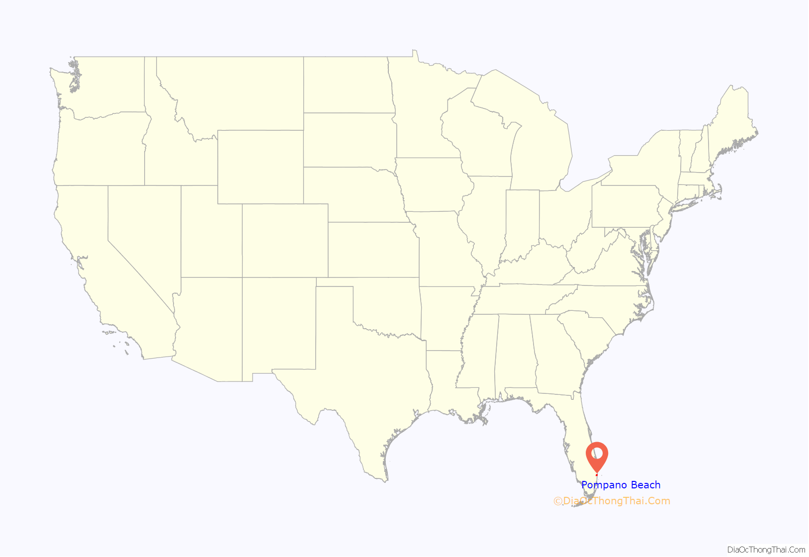
Pompano Beach location map. Where is Pompano Beach city?
History
Its name is derived from the Florida Pompano (Trachinotus carolinus), a fish found off the Atlantic coast.
There had been scattered settlers in the area since at least the mid-1880s, but the first documented permanent residents of the Pompano area were George Butler and Frank Sheen and their families, who arrived in 1896 as railway employees. The first train arrived in the small Pompano settlement on February 22, 1896. It is said that Sheen gave the community its name after jotting down on his survey of the area the name of the fish he had for dinner. The coming of the railroad led to development farther west from the coast. In 1906, Pompano became the southernmost settlement in newly-created Palm Beach County. That year, the Hillsboro Lighthouse was completed on the beach.
On July 3, 1908, a new municipality was incorporated in what was then Dade County: the Town of Pompano. John R. Mizell was elected the first mayor. In 1915, Broward County was established, with a northern boundary at the Hillsboro Canal. Thus, within eight years, Pompano had been in three counties. Pompano Beach experienced significant growth during the Florida land boom of the 1920s. In 1940, the U.S. Supreme Court disallowed forced confessions in Chambers v. Florida, a dispute stemming from a murder in Pompano Beach.
Following the population boom due to World War II, in 1947, the City of Pompano merged with the newly-formed municipality on the beach and became the City of Pompano Beach. In 1950, the population of the city reached 5,682. Like most of southeast Florida, Pompano Beach experienced great growth in the late 20th century as many people moved there from northern parts of the United States. A substantial seasonal population also spends its winters in the area. The city of Pompano Beach celebrated its centennial in 2008.
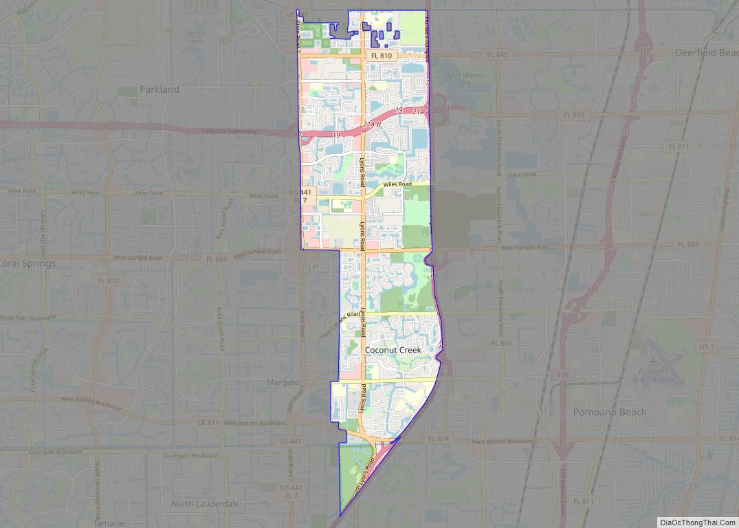
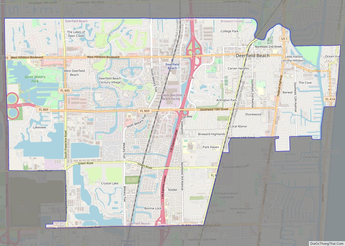
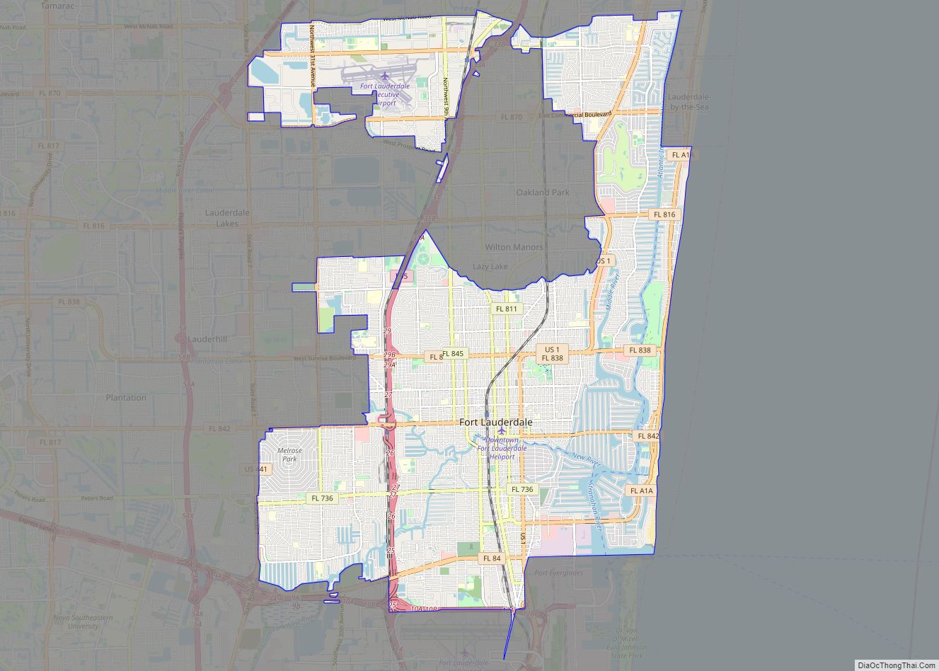
Pompano Beach Road Map
Pompano Beach city Satellite Map
Geography
According to the United States Census Bureau, the city has a total area of 25.4 square miles (65.8 km), of which 24.0 square miles (62.2 km) is land and 1.4 square miles (3.6 km), or 5.54%, is water.
A 2017 study showed 73,000 residents living within FEMA’s coastal floodplain.
Pompano Beach is in northeastern Broward County along the Atlantic Ocean. It includes about 3 miles (5 km) of beachfront, extending from the intersection of State Road A1A and Terra Mar Drive to the Hillsboro Inlet. The city is bounded by the following municipalities:
On its northeast:
On its north:
On its west:
On its southwest:
On its south:
On its southeast:
Climate
Pompano Beach has a tropical monsoon climate (Am) with hot, humid summers and warm winters.
See also
Map of Florida State and its subdivision:- Alachua
- Baker
- Bay
- Bradford
- Brevard
- Broward
- Calhoun
- Charlotte
- Citrus
- Clay
- Collier
- Columbia
- Desoto
- Dixie
- Duval
- Escambia
- Flagler
- Franklin
- Gadsden
- Gilchrist
- Glades
- Gulf
- Hamilton
- Hardee
- Hendry
- Hernando
- Highlands
- Hillsborough
- Holmes
- Indian River
- Jackson
- Jefferson
- Lafayette
- Lake
- Lee
- Leon
- Levy
- Liberty
- Madison
- Manatee
- Marion
- Martin
- Miami-Dade
- Monroe
- Nassau
- Okaloosa
- Okeechobee
- Orange
- Osceola
- Palm Beach
- Pasco
- Pinellas
- Polk
- Putnam
- Saint Johns
- Saint Lucie
- Santa Rosa
- Sarasota
- Seminole
- Sumter
- Suwannee
- Taylor
- Union
- Volusia
- Wakulla
- Walton
- Washington
- Alabama
- Alaska
- Arizona
- Arkansas
- California
- Colorado
- Connecticut
- Delaware
- District of Columbia
- Florida
- Georgia
- Hawaii
- Idaho
- Illinois
- Indiana
- Iowa
- Kansas
- Kentucky
- Louisiana
- Maine
- Maryland
- Massachusetts
- Michigan
- Minnesota
- Mississippi
- Missouri
- Montana
- Nebraska
- Nevada
- New Hampshire
- New Jersey
- New Mexico
- New York
- North Carolina
- North Dakota
- Ohio
- Oklahoma
- Oregon
- Pennsylvania
- Rhode Island
- South Carolina
- South Dakota
- Tennessee
- Texas
- Utah
- Vermont
- Virginia
- Washington
- West Virginia
- Wisconsin
- Wyoming
