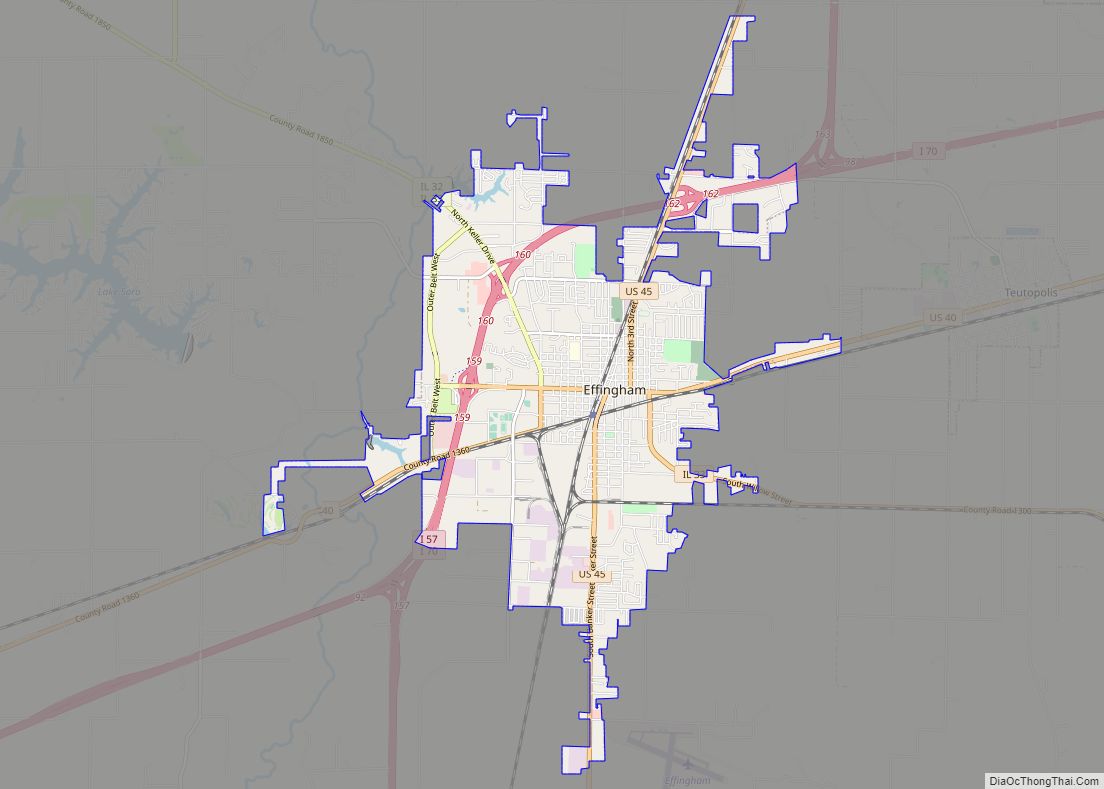
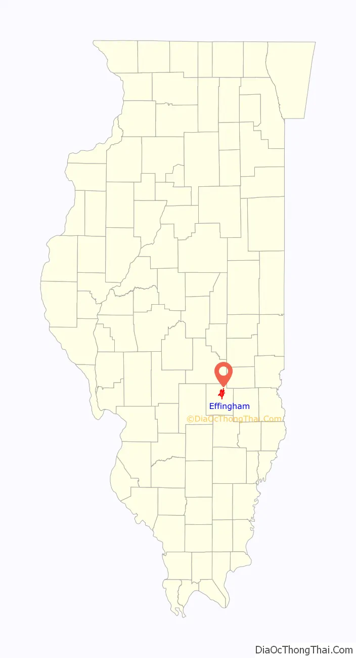
Effingham is a city in and the county seat of Effingham County, Illinois, United States. It is in South Central Illinois. Its population was 12,252 at the 2020 census. The city is part of the Effingham, IL Micropolitan Statistical Area.
The city bills itself as “The Crossroads of Opportunity” because of its location at the intersection of two major Interstate highways: I-57 running from Chicago to Sikeston, Missouri, and I-70 running from Utah to Maryland. It is also served by U.S. Route 45, which runs from Ontonagon, Michigan to Mobile, Alabama, U.S. Route 40, the historic National Road, which stretches from Atlantic City, New Jersey to Silver Summit, Utah, and Illinois routes 32 and 33 also run through the city. It is also a major railroad junction, the crossing of the Illinois Central main line from Chicago to Memphis with the Pennsylvania Railroad line from Indianapolis to St. Louis. For this reason, Effingham has a much broader range of restaurants and lodging facilities than other typical towns of its size.
| Name: | Effingham city |
|---|---|
| LSAD Code: | 25 |
| LSAD Description: | city (suffix) |
| State: | Illinois |
| County: | Effingham County |
| Elevation: | 594 ft (181 m) |
| Total Area: | 10.55 sq mi (27.34 km²) |
| Land Area: | 10.48 sq mi (27.16 km²) |
| Water Area: | 0.07 sq mi (0.18 km²) |
| Total Population: | 12,252 |
| Population Density: | 1,168.53/sq mi (451.16/km²) |
| FIPS code: | 1722736 |
| Website: | www.effinghamil.com |
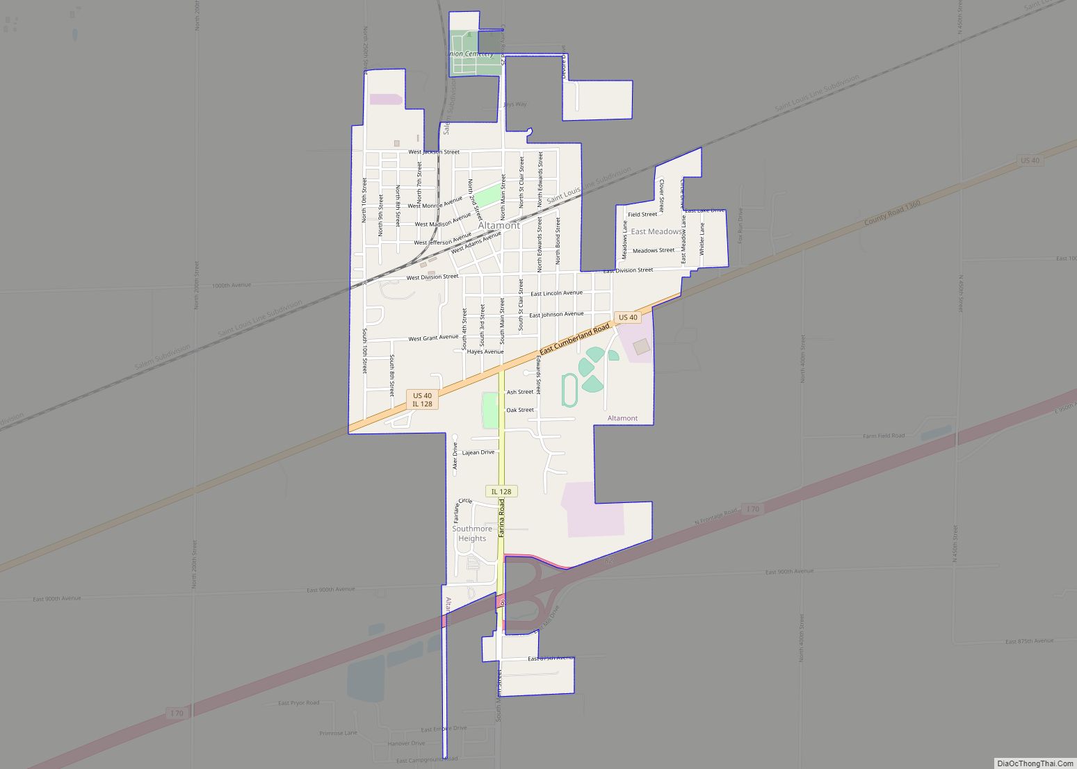
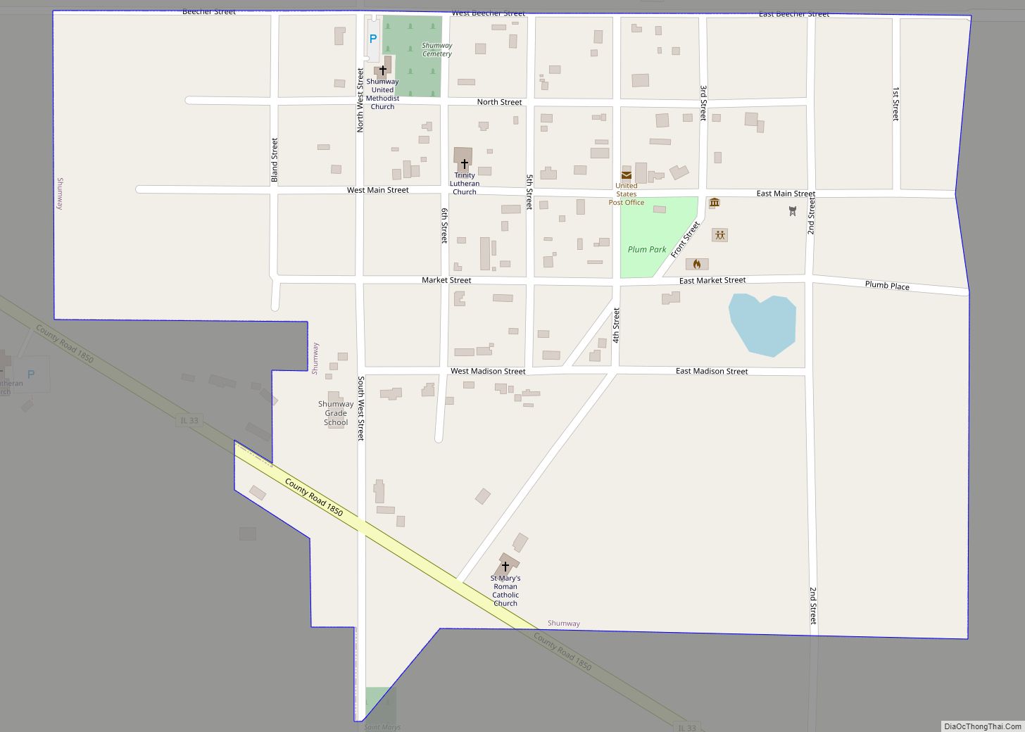
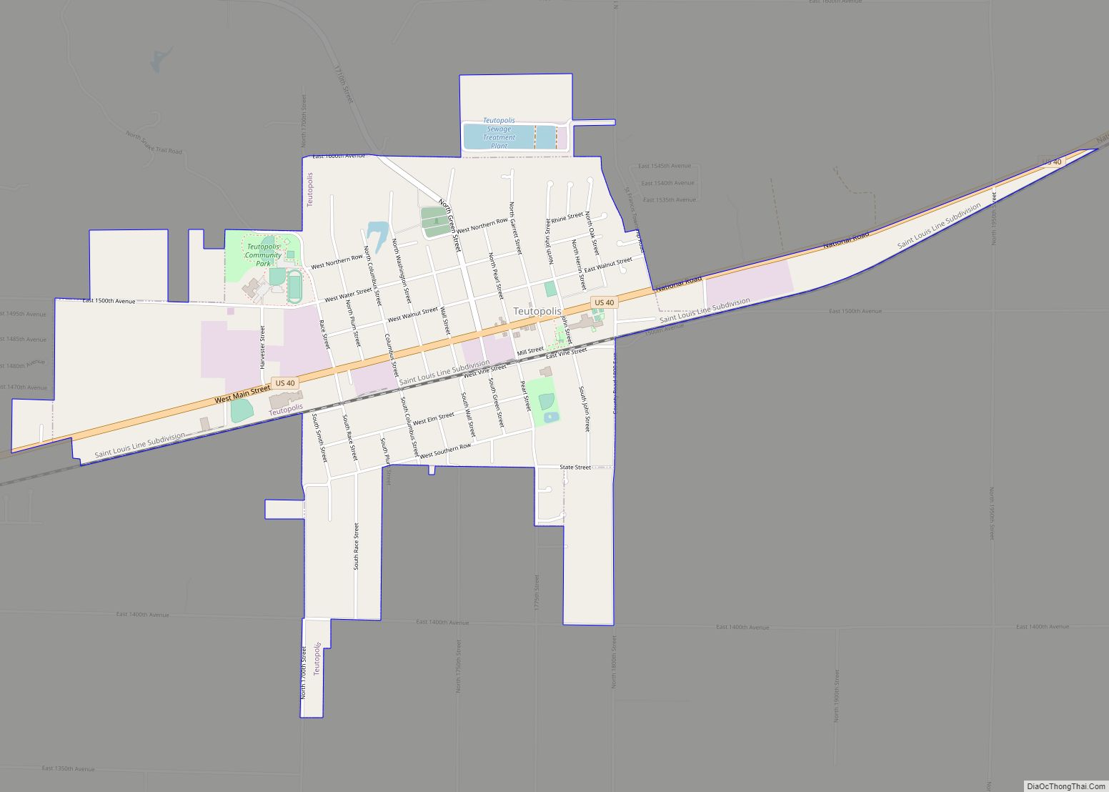
Online Interactive Map
Click on ![]() to view map in "full screen" mode.
to view map in "full screen" mode.
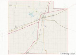
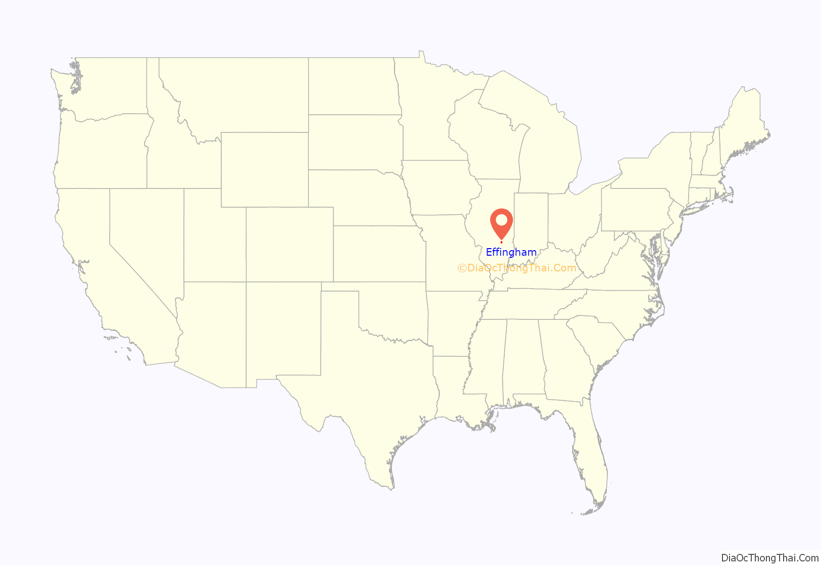
Effingham location map. Where is Effingham city?
History
Effingham was first settled in 1814, and was known from then until 1859 as Broughton. In 1859, it became the county seat with buildings relocated from nearby (now deserted) Ewington. The community was named after General E. Effingham, a local surveyor.
In the late 1880s, local citizens founded Austin College, which lasted for several decades, and ultimately was purchased to become the Illinois College of Photography, also known as Bissel College. That school closed due to the Great Depression in the 1930s.
On April 4, 1949, St. Anthony’s Hospital caught fire and burned to the ground, killing 74 people. As a result, fire codes nationwide were improved. Due to extensive media coverage, including a Life magazine cover story, donations for rebuilding the hospital came from all 48 states and several foreign countries.
Effingham was a sundown town; daytime segregation was enforced until at least the mid-1960s.
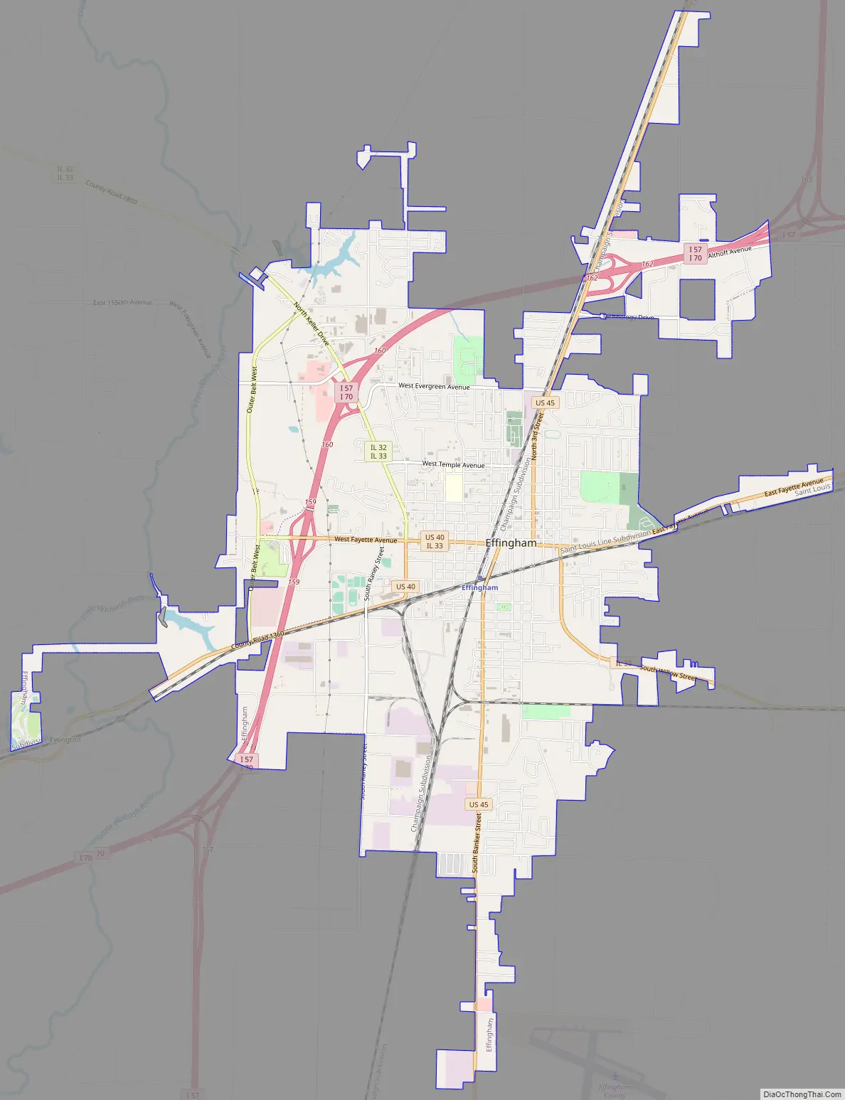
Effingham Road Map
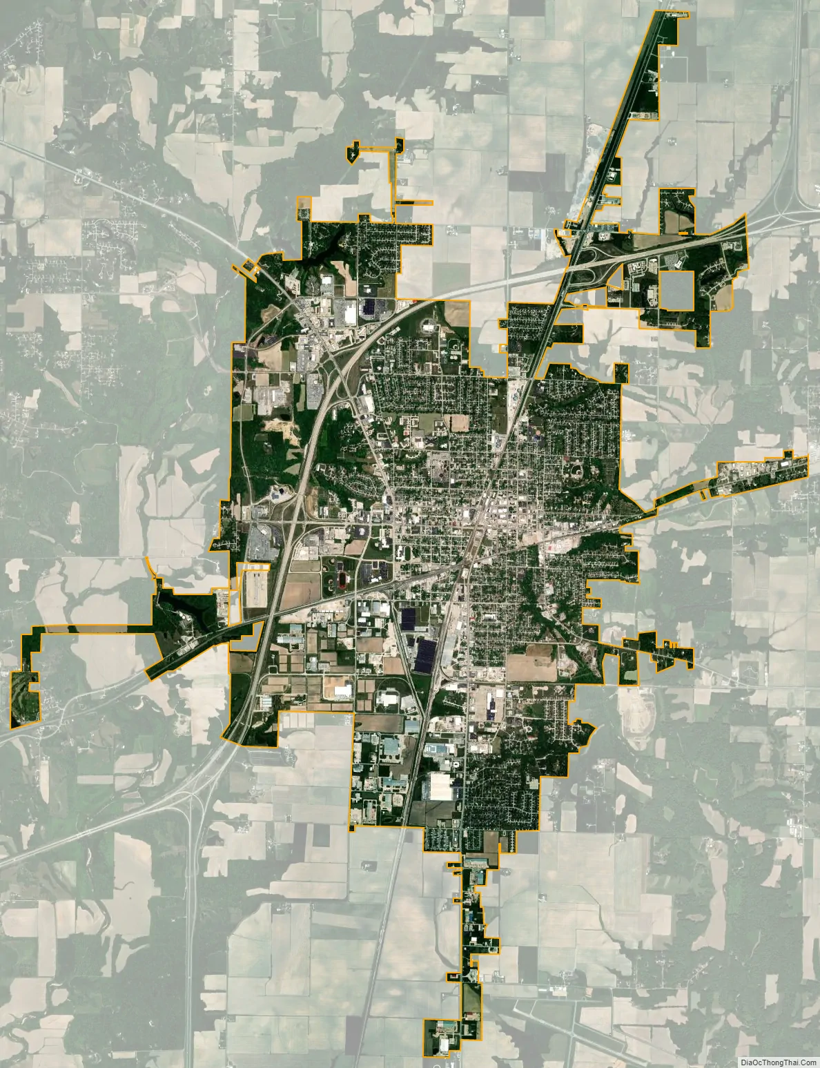
Effingham city Satellite Map
Geography
Effingham is located at 39°7′15″N 88°32′45″W / 39.12083°N 88.54583°W / 39.12083; -88.54583 (39.120903, −88.545909).
According to the 2010 census, Effingham has a total area of 9.921 square miles (25.70 km), of which 9.86 square miles (25.54 km) (or 99.39%) is land and 0.061 square miles (0.16 km) (or 0.61%) is water.
Effingham is served by a total of 5 highways, only 2 of them being interstates. Interstate 57 comes into Effingham County with Edgewood, Illinois. It officially comes into Effingham was a cross Directional T interchange with Interstate 70 west towards St. Louis. It runs concurrently with Interstate 57 as it goes through the city’s southside exits. It makes its first with W Fayette Avenue and then takes a short curve east and makes a half diamond and half partial cloverleaf interchange with N Keller Drive and Illinois Route 33. After the interchange, it makes an interchange with U.S. Route 45 and the concurrency ends with a last Directional T interchange with Interstate 70. This time, Interstate 70 runs off east towards Indianapolis making Interstate 57 continue its route towards Mattoon, Illinois, Champaign, Illinois, and finally Chicago.
See also
Map of Illinois State and its subdivision:- Adams
- Alexander
- Bond
- Boone
- Brown
- Bureau
- Calhoun
- Carroll
- Cass
- Champaign
- Christian
- Clark
- Clay
- Clinton
- Coles
- Cook
- Crawford
- Cumberland
- De Kalb
- De Witt
- Douglas
- Dupage
- Edgar
- Edwards
- Effingham
- Fayette
- Ford
- Franklin
- Fulton
- Gallatin
- Greene
- Grundy
- Hamilton
- Hancock
- Hardin
- Henderson
- Henry
- Iroquois
- Jackson
- Jasper
- Jefferson
- Jersey
- Jo Daviess
- Johnson
- Kane
- Kankakee
- Kendall
- Knox
- La Salle
- Lake
- Lake Michigan
- Lawrence
- Lee
- Livingston
- Logan
- Macon
- Macoupin
- Madison
- Marion
- Marshall
- Mason
- Massac
- McDonough
- McHenry
- McLean
- Menard
- Mercer
- Monroe
- Montgomery
- Morgan
- Moultrie
- Ogle
- Peoria
- Perry
- Piatt
- Pike
- Pope
- Pulaski
- Putnam
- Randolph
- Richland
- Rock Island
- Saint Clair
- Saline
- Sangamon
- Schuyler
- Scott
- Shelby
- Stark
- Stephenson
- Tazewell
- Union
- Vermilion
- Wabash
- Warren
- Washington
- Wayne
- White
- Whiteside
- Will
- Williamson
- Winnebago
- Woodford
- Alabama
- Alaska
- Arizona
- Arkansas
- California
- Colorado
- Connecticut
- Delaware
- District of Columbia
- Florida
- Georgia
- Hawaii
- Idaho
- Illinois
- Indiana
- Iowa
- Kansas
- Kentucky
- Louisiana
- Maine
- Maryland
- Massachusetts
- Michigan
- Minnesota
- Mississippi
- Missouri
- Montana
- Nebraska
- Nevada
- New Hampshire
- New Jersey
- New Mexico
- New York
- North Carolina
- North Dakota
- Ohio
- Oklahoma
- Oregon
- Pennsylvania
- Rhode Island
- South Carolina
- South Dakota
- Tennessee
- Texas
- Utah
- Vermont
- Virginia
- Washington
- West Virginia
- Wisconsin
- Wyoming