Attica is a city in Harper County, Kansas, United States. As of the 2020 census, the population of the city was 516. The town was named after the historical region of Attica, in Greece.
| Name: | Attica city |
|---|---|
| LSAD Code: | 25 |
| LSAD Description: | city (suffix) |
| State: | Kansas |
| County: | Harper County |
| Founded: | 1884 |
| Incorporated: | 1885 |
| Elevation: | 1,457 ft (444 m) |
| Total Area: | 0.63 sq mi (1.64 km²) |
| Land Area: | 0.63 sq mi (1.64 km²) |
| Water Area: | 0.00 sq mi (0.00 km²) |
| Total Population: | 516 |
| Population Density: | 820/sq mi (310/km²) |
| ZIP code: | 67009 |
| Area code: | 620 |
| FIPS code: | 2003100 |
| Website: | cityofatticaks.com |
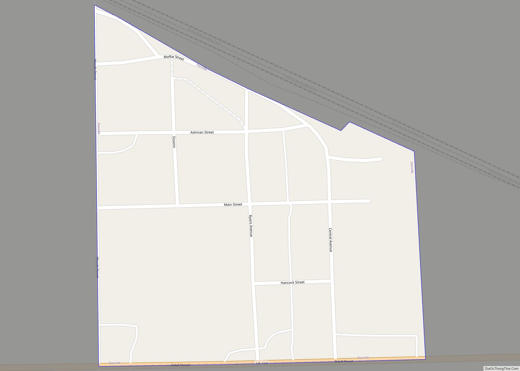
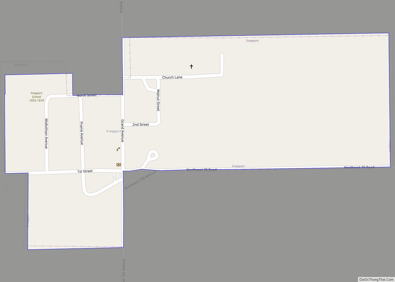
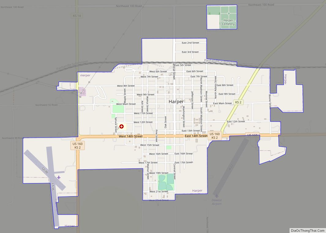
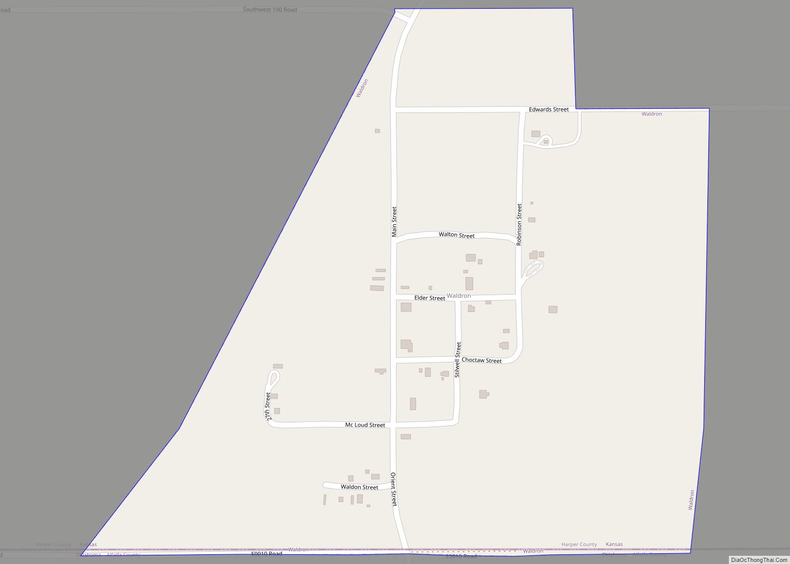
Online Interactive Map
Click on ![]() to view map in "full screen" mode.
to view map in "full screen" mode.
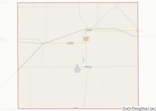
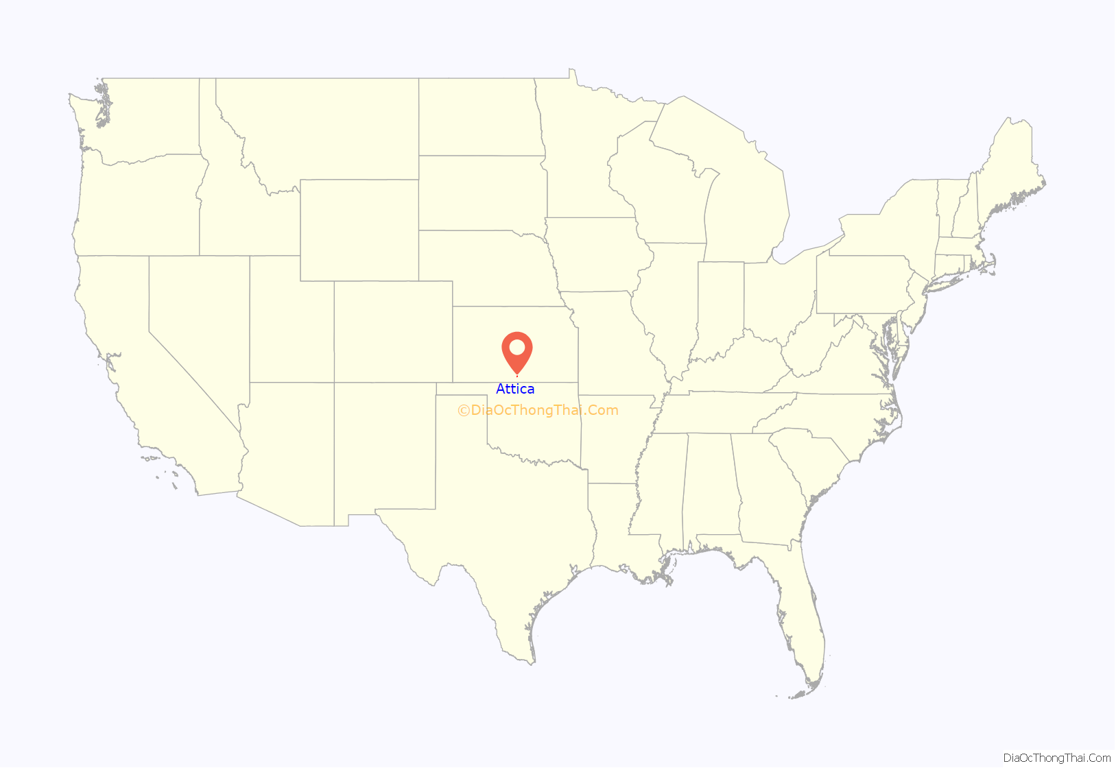
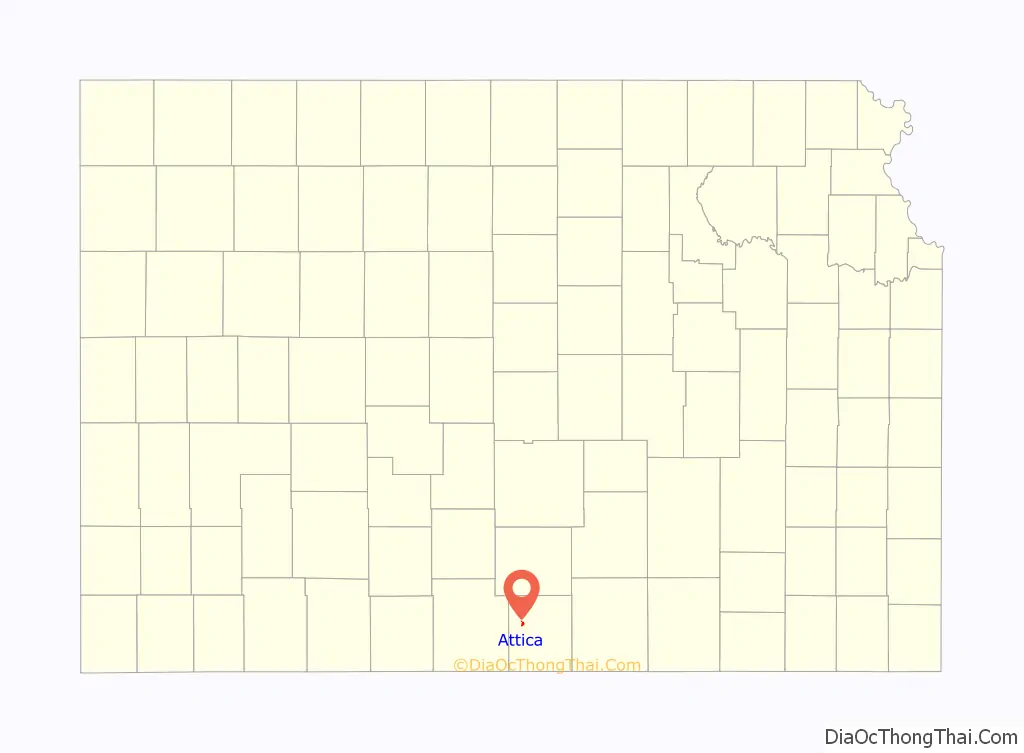
Attica location map. Where is Attica city?
History
Land for the community was purchased in late June 1884 and became the end of the Atchison, Topeka, and Santa Fe Railway. The town was incorporated on February 16, 1885, with a population of 1,500 people. The population grew further until the Cherokee Outlet in northern Oklahoma was opened by a Land run in 1893, at which point many people moved south to that territory.
Most of Attica is in Section 3 of Township 32 South of Range 9 West (S3-T32S-R9W) of the 6th Principal Meridian. The land for Attica was purchased from the Osage Land Trust, which also held the surrounding farmland. According to documents from Attica, the Osage Land Trust was held by the US government for the Osage tribe. Settlers could buy tracts of 160 acres (quarter-sections) for $1.25 / acre, and the money would go to the tribe. For reference, some of that land sold in 1909 for $12/acre.
On May 12, 2004, the town was damaged by an F2 tornado that was received widespread coverage on local and national television.
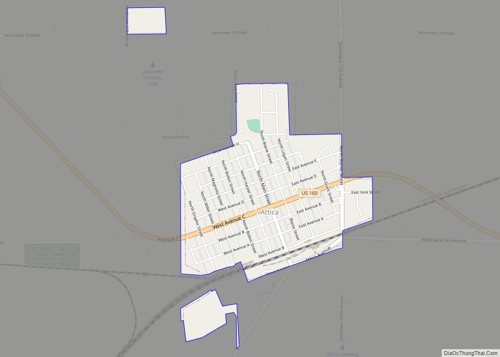
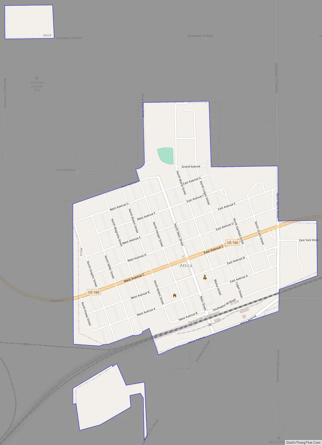
Attica Road Map
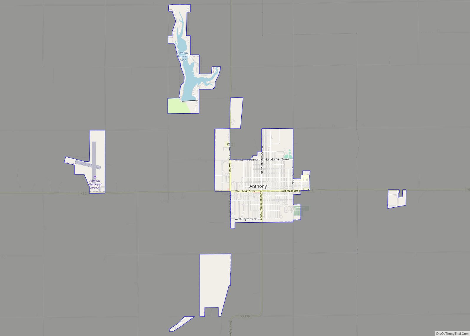
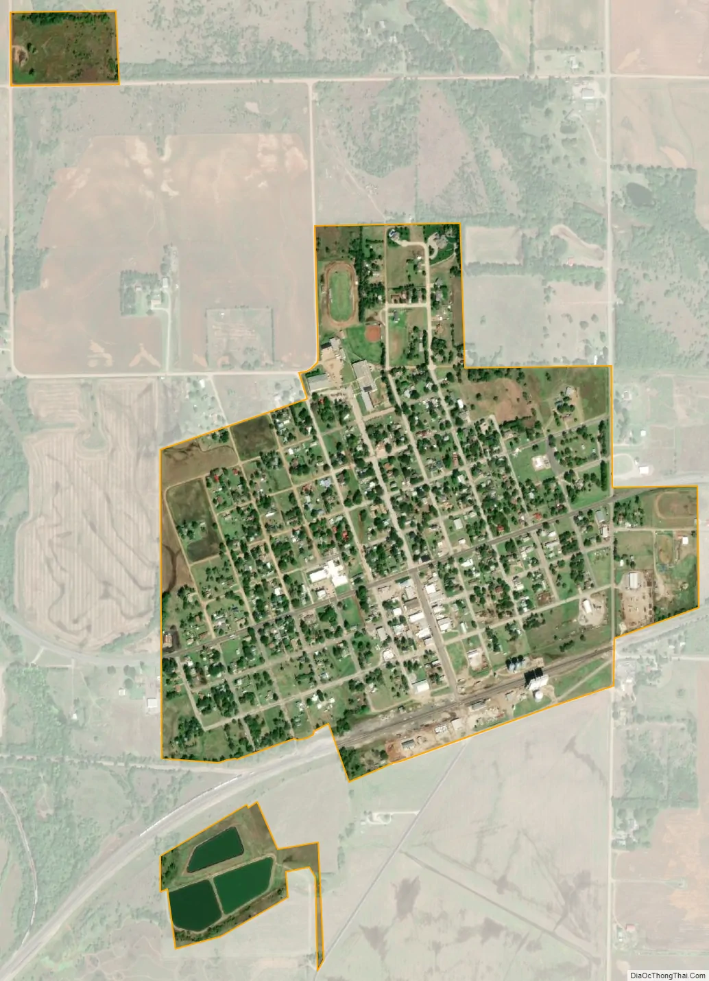
Attica city Satellite Map
Geography
Attica is located at 37°14′32″N 98°13′39″W / 37.24222°N 98.22750°W / 37.24222; -98.22750 (37.242124, -98.227489). According to the United States Census Bureau, the city has a total area of 0.64 square miles (1.66 km), all of it land.
Climate
The climate in this area is characterized by hot, humid summers and generally mild to cool winters. According to the Köppen Climate Classification system, Attica has a humid subtropical climate, abbreviated “Cfa” on climate maps.
See also
Map of Kansas State and its subdivision:- Allen
- Anderson
- Atchison
- Barber
- Barton
- Bourbon
- Brown
- Butler
- Chase
- Chautauqua
- Cherokee
- Cheyenne
- Clark
- Clay
- Cloud
- Coffey
- Comanche
- Cowley
- Crawford
- Decatur
- Dickinson
- Doniphan
- Douglas
- Edwards
- Elk
- Ellis
- Ellsworth
- Finney
- Ford
- Franklin
- Geary
- Gove
- Graham
- Grant
- Gray
- Greeley
- Greenwood
- Hamilton
- Harper
- Harvey
- Haskell
- Hodgeman
- Jackson
- Jefferson
- Jewell
- Johnson
- Kearny
- Kingman
- Kiowa
- Labette
- Lane
- Leavenworth
- Lincoln
- Linn
- Logan
- Lyon
- Marion
- Marshall
- McPherson
- Meade
- Miami
- Mitchell
- Montgomery
- Morris
- Morton
- Nemaha
- Neosho
- Ness
- Norton
- Osage
- Osborne
- Ottawa
- Pawnee
- Phillips
- Pottawatomie
- Pratt
- Rawlins
- Reno
- Republic
- Rice
- Riley
- Rooks
- Rush
- Russell
- Saline
- Scott
- Sedgwick
- Seward
- Shawnee
- Sheridan
- Sherman
- Smith
- Stafford
- Stanton
- Stevens
- Sumner
- Thomas
- Trego
- Wabaunsee
- Wallace
- Washington
- Wichita
- Wilson
- Woodson
- Wyandotte
- Alabama
- Alaska
- Arizona
- Arkansas
- California
- Colorado
- Connecticut
- Delaware
- District of Columbia
- Florida
- Georgia
- Hawaii
- Idaho
- Illinois
- Indiana
- Iowa
- Kansas
- Kentucky
- Louisiana
- Maine
- Maryland
- Massachusetts
- Michigan
- Minnesota
- Mississippi
- Missouri
- Montana
- Nebraska
- Nevada
- New Hampshire
- New Jersey
- New Mexico
- New York
- North Carolina
- North Dakota
- Ohio
- Oklahoma
- Oregon
- Pennsylvania
- Rhode Island
- South Carolina
- South Dakota
- Tennessee
- Texas
- Utah
- Vermont
- Virginia
- Washington
- West Virginia
- Wisconsin
- Wyoming