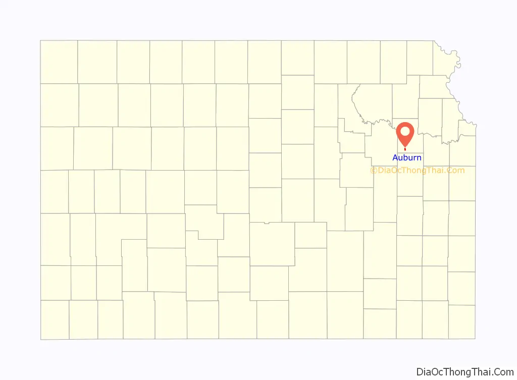
Auburn is a city in Shawnee County, Kansas, United States. As of the 2020 census, the population of the city was 1,273.
| Name: | Auburn city |
|---|---|
| LSAD Code: | 25 |
| LSAD Description: | city (suffix) |
| State: | Kansas |
| County: | Shawnee County |
| Founded: | 1856 |
| Incorporated: | 1963 |
| Elevation: | 1,083 ft (330 m) |
| Total Area: | 0.70 sq mi (1.81 km²) |
| Land Area: | 0.70 sq mi (1.80 km²) |
| Water Area: | 0.00 sq mi (0.01 km²) |
| Total Population: | 1,273 |
| Population Density: | 1,800/sq mi (700/km²) |
| ZIP code: | 66402 |
| Area code: | 785 |
| FIPS code: | 2003250 |
| Website: | auburnks.com |
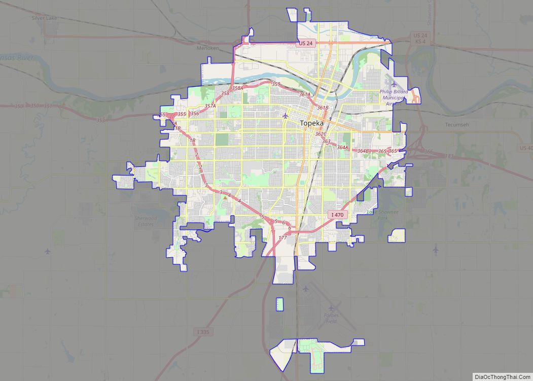
Online Interactive Map
Click on ![]() to view map in "full screen" mode.
to view map in "full screen" mode.
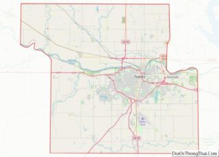
Auburn location map. Where is Auburn city?

History
19th century
In July 1854, John W. Brown came to this area and found it highly suitable for a homestead. He acquired 800 acres (3.2 km) through bartering with local Indians. He later returned home to Missouri to tell his family and friends about the area. Some returned with him. In 1856, Mr. Brown along with M. C. Dickey, Loring Farnsworth and Henry Fox pre-empted 320 acres (1.3 km) for the purpose of a town. They christened it Brownville, although it was changed in 1857 to present name “Auburn” due to the fact there was another settlement with the same name. This was before the introduction of postal codes. It was located on the California Road and work began at once on the many buildings needed in a town of Brownville’s size. Two daily stage lines brought mail and people to the town and business was very good.
Robert Simmerwell was a missionary to the Indians in Auburn. He originally served as a missionary among the Pottawatomie Indians in Michigan Territory, while he apprenticed to a blacksmith and attended school at night. He later came to the Baptist Shawnee Mission on Pottawatomie Creek in eastern Kansas. In 1848 the government set up a new mission a few miles west of Topeka. In a three-story stone building with twelve rooms, boys and girls were given instruction in the manual arts, as well as in reading, writing, arithmetic, and religious subjects. In the fall of 1854, he and his wife had retired from active work in the Pottawatomie Mission, to homestead on 160 acres (0.6 km)southwest of the town.
In the 1850s, the city grew fast, and was often referred to as a “boom town”. It was one of the largest in the state, and nearly became the state capital. However, Auburn was cast aside as an option, as the railroad bypassed the city. Topeka was chosen to be the capital because it had the railroad and an important ferry site along the Kansas River. Auburn’s population dwindled, but continued to hover around 100 for many decades.
20th century
A description of the town from a 1912 volume of Kansas: A Cyclopedia of State History is as follows:
Auburn, a money order post office of Shawnee county, is in the township of the same name, about 15 miles (24 km) southwest of Topeka and 8 miles (13 km) west of Wakarusa, which is the nearest railroad station. It is a trading center for that section of the county, has Baptist, Methodist and Presbyterian churches, telephone connection with Topeka and other adjacent points, and in 1910 reported a population of 72. Two rural free delivery routes start from the Auburn office and supply daily mail to the farmers of the vicinity.
Auburn finally began to grow in population in the 1950s. An important issue at this time was the city’s small school system. It consisted of Auburn Grade School (grades K-5) and Auburn High School (grades 6-12). The Highschool was quickly becoming overcrowded. It was eventually decided that the Auburn School district would merge with the Washburn School District to increase efficiency. The last class graduated from Auburn High in 1966. The high school was razed to construct Auburn Middle School, and in 1990 this school closed and was converted to a community center, and the grade school remains open to this day.
In the 1960s and 1970s, the city’s population shrank, but was re-vitalized with large housing projects. Between 1975 and 1985, roughly 100 new split-level homes were built.
21st century
The city itself contains several businesses. There is a BP gas station, a dentist, a veterinary clinic, a chiropractor, a pizza restaurant, a liquor store, a Dollar General (which opened in late 2009), and a premium used car dealership as well as others. Most Auburn residents commute to other surrounding cities for work, often Topeka. Currently, there are three churches in Auburn: Presbyterian, Christian, and Methodist. The Auburn Community Center houses a community library.
Auburn has a full-time police department and a fully equipped volunteer fire department (Shawnee County Fire No. 2). There is also a road maintenance and utilities department.
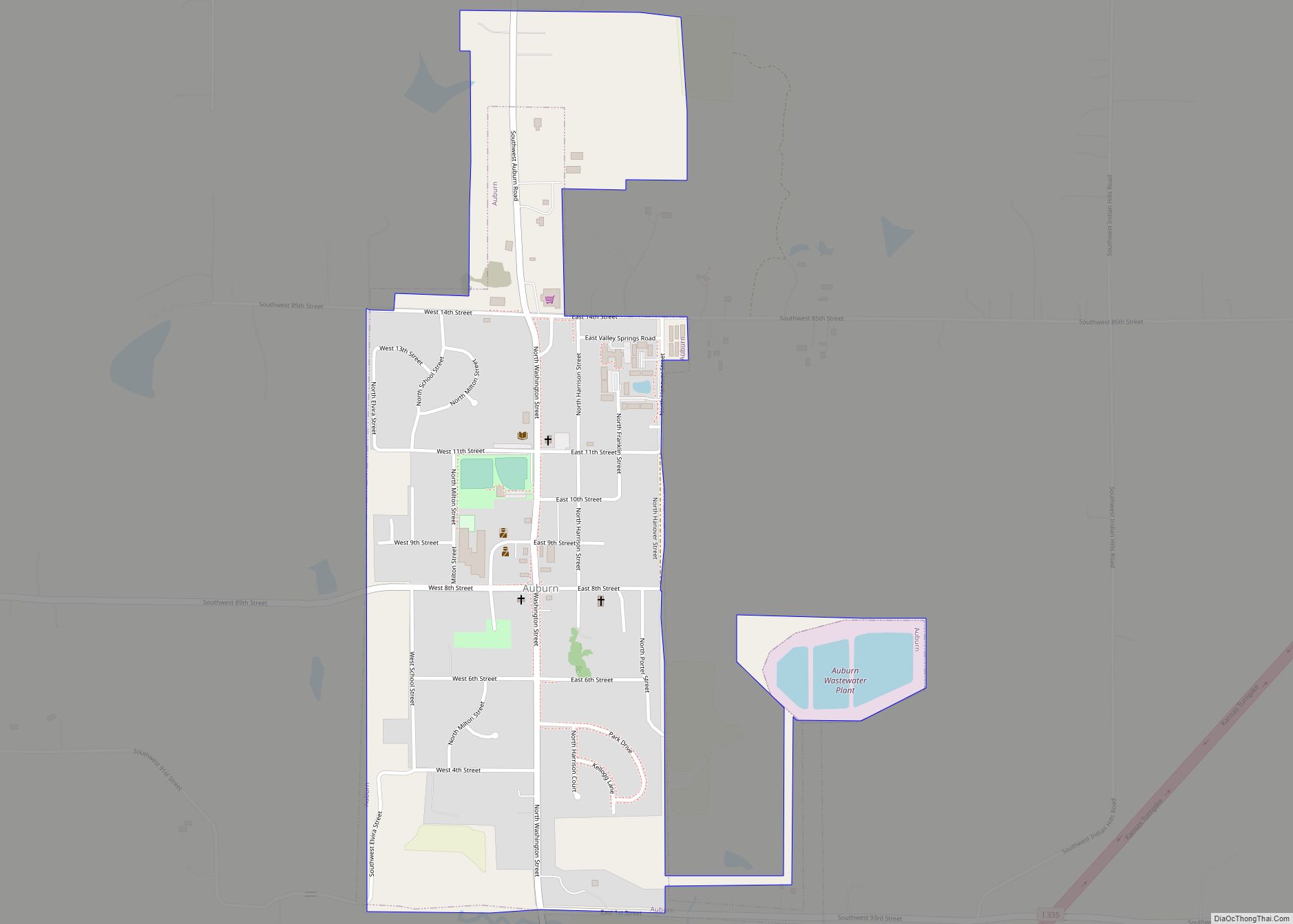
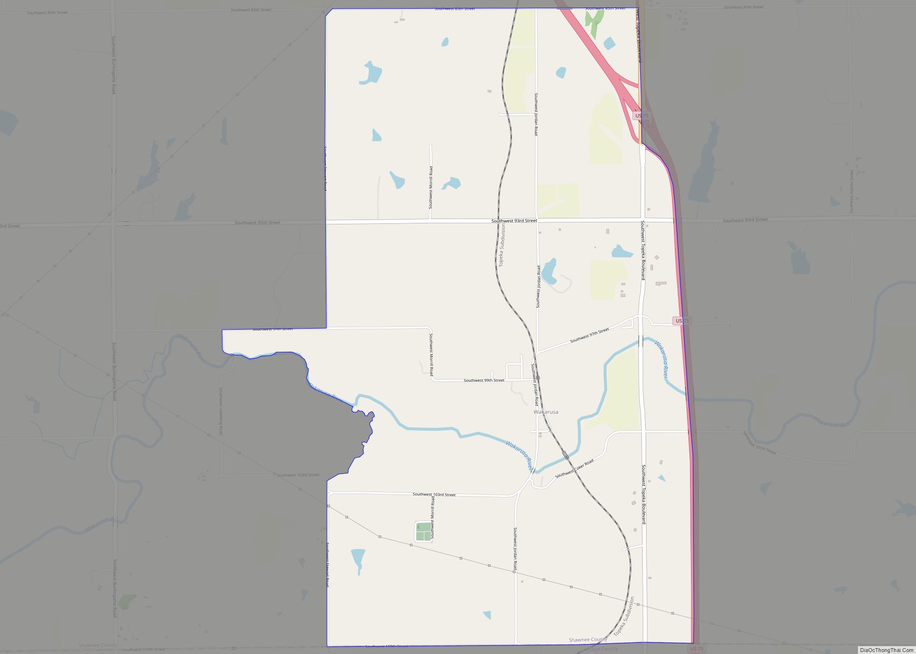
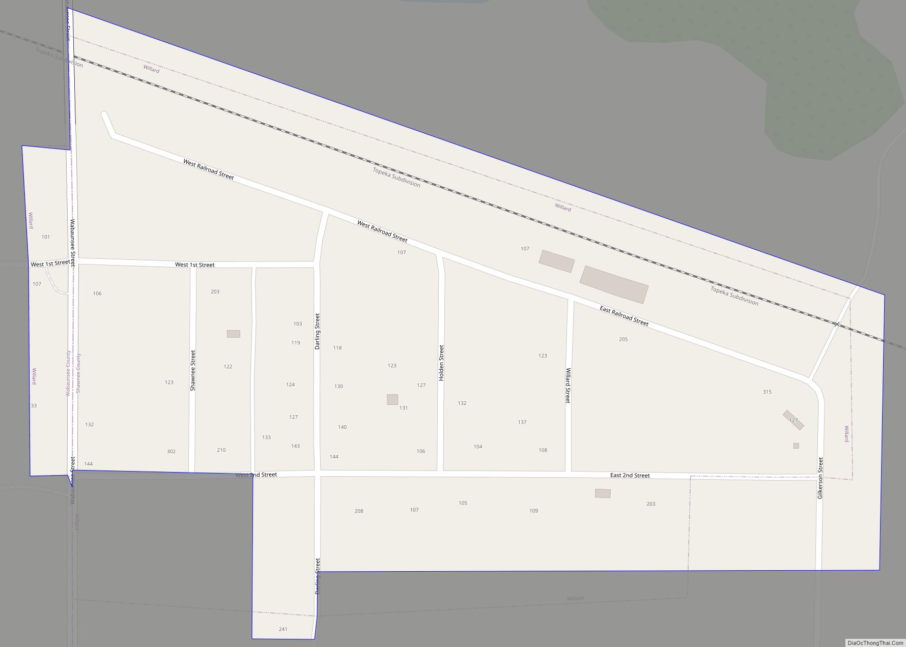
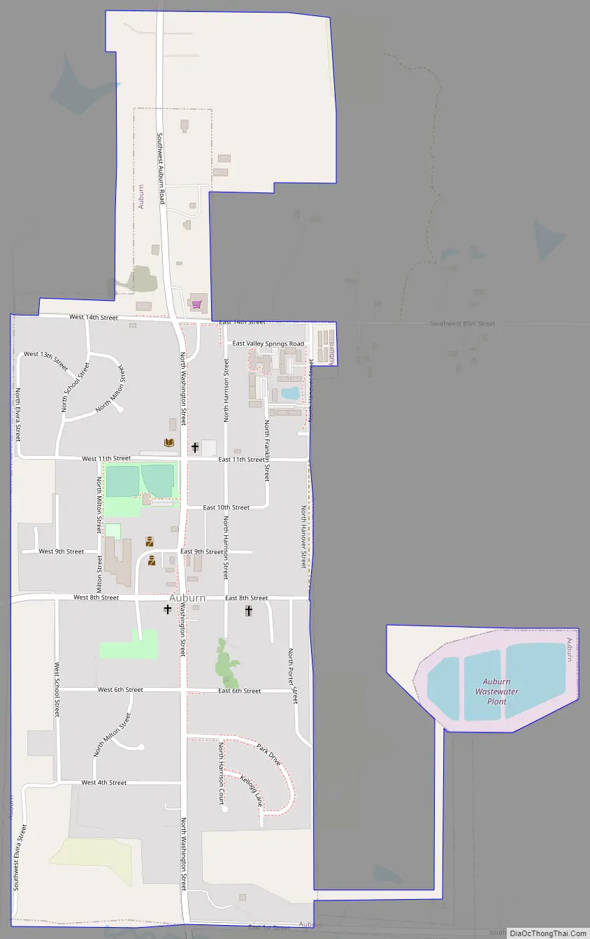
Auburn Road Map
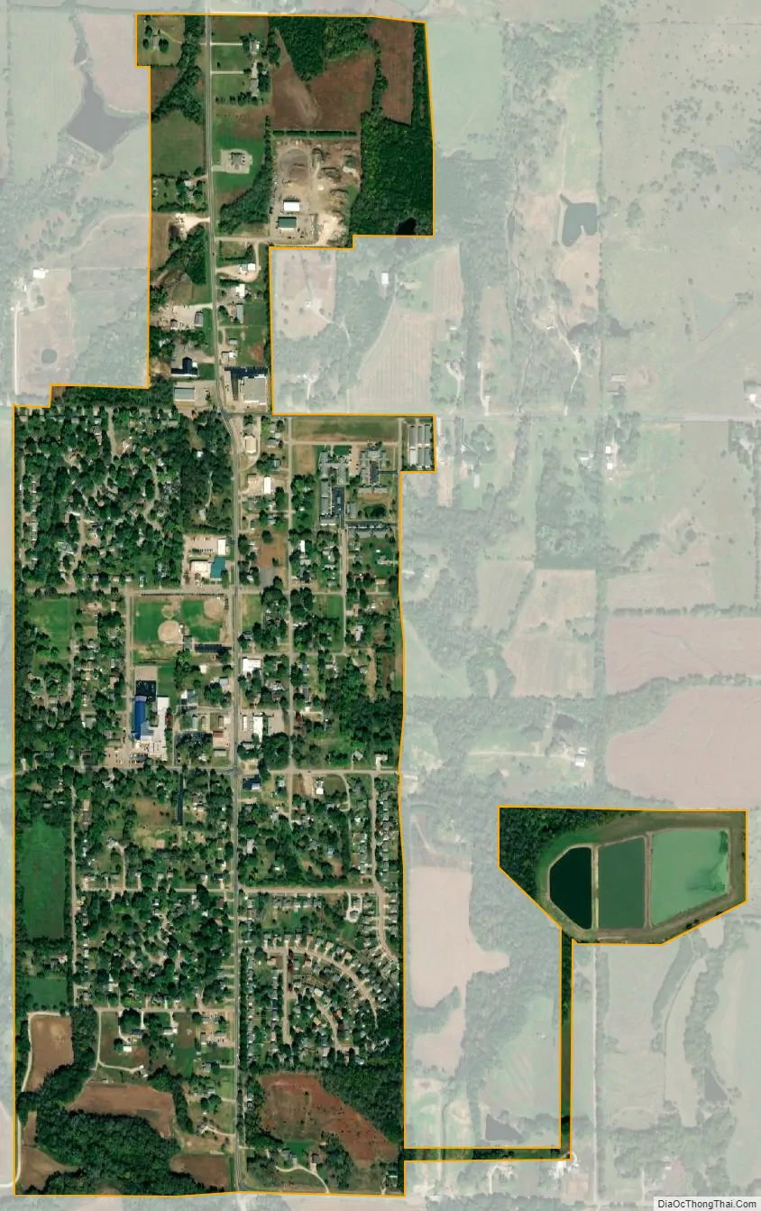
Auburn city Satellite Map
Geography
Auburn is located at 38°54′24″N 95°49′0″W / 38.90667°N 95.81667°W / 38.90667; -95.81667 (38.906709, -95.816789). According to the United States Census Bureau, the city has a total area of 0.64 square miles (1.66 km), all of it land.
Climate
The climate in this area is characterized by hot, humid summers and generally mild to cool winters. According to the Köppen Climate Classification system, Auburn has a humid subtropical climate, abbreviated “Cfa” on climate maps.
See also
Map of Kansas State and its subdivision:- Allen
- Anderson
- Atchison
- Barber
- Barton
- Bourbon
- Brown
- Butler
- Chase
- Chautauqua
- Cherokee
- Cheyenne
- Clark
- Clay
- Cloud
- Coffey
- Comanche
- Cowley
- Crawford
- Decatur
- Dickinson
- Doniphan
- Douglas
- Edwards
- Elk
- Ellis
- Ellsworth
- Finney
- Ford
- Franklin
- Geary
- Gove
- Graham
- Grant
- Gray
- Greeley
- Greenwood
- Hamilton
- Harper
- Harvey
- Haskell
- Hodgeman
- Jackson
- Jefferson
- Jewell
- Johnson
- Kearny
- Kingman
- Kiowa
- Labette
- Lane
- Leavenworth
- Lincoln
- Linn
- Logan
- Lyon
- Marion
- Marshall
- McPherson
- Meade
- Miami
- Mitchell
- Montgomery
- Morris
- Morton
- Nemaha
- Neosho
- Ness
- Norton
- Osage
- Osborne
- Ottawa
- Pawnee
- Phillips
- Pottawatomie
- Pratt
- Rawlins
- Reno
- Republic
- Rice
- Riley
- Rooks
- Rush
- Russell
- Saline
- Scott
- Sedgwick
- Seward
- Shawnee
- Sheridan
- Sherman
- Smith
- Stafford
- Stanton
- Stevens
- Sumner
- Thomas
- Trego
- Wabaunsee
- Wallace
- Washington
- Wichita
- Wilson
- Woodson
- Wyandotte
- Alabama
- Alaska
- Arizona
- Arkansas
- California
- Colorado
- Connecticut
- Delaware
- District of Columbia
- Florida
- Georgia
- Hawaii
- Idaho
- Illinois
- Indiana
- Iowa
- Kansas
- Kentucky
- Louisiana
- Maine
- Maryland
- Massachusetts
- Michigan
- Minnesota
- Mississippi
- Missouri
- Montana
- Nebraska
- Nevada
- New Hampshire
- New Jersey
- New Mexico
- New York
- North Carolina
- North Dakota
- Ohio
- Oklahoma
- Oregon
- Pennsylvania
- Rhode Island
- South Carolina
- South Dakota
- Tennessee
- Texas
- Utah
- Vermont
- Virginia
- Washington
- West Virginia
- Wisconsin
- Wyoming