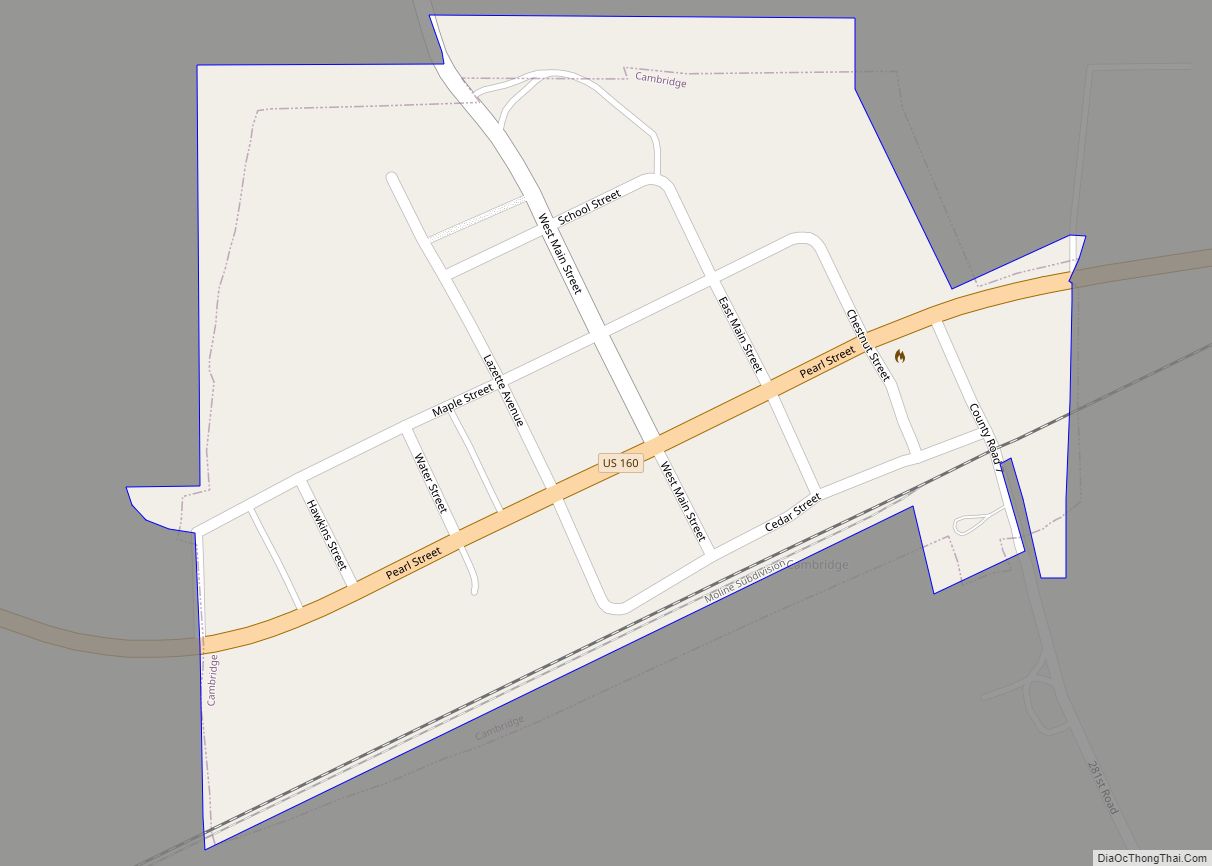
Burden is a city in Cowley County, Kansas, United States. As of the 2020 census, the population of the city was 512.
| Name: | Burden city |
|---|---|
| LSAD Code: | 25 |
| LSAD Description: | city (suffix) |
| State: | Kansas |
| County: | Cowley County |
| Incorporated: | 1883 |
| Elevation: | 1,378 ft (420 m) |
| Total Area: | 0.52 sq mi (1.34 km²) |
| Land Area: | 0.52 sq mi (1.34 km²) |
| Water Area: | 0.00 sq mi (0.00 km²) |
| Total Population: | 512 |
| Population Density: | 980/sq mi (380/km²) |
| ZIP code: | 67019 |
| Area code: | 620 |
| FIPS code: | 2009250 |
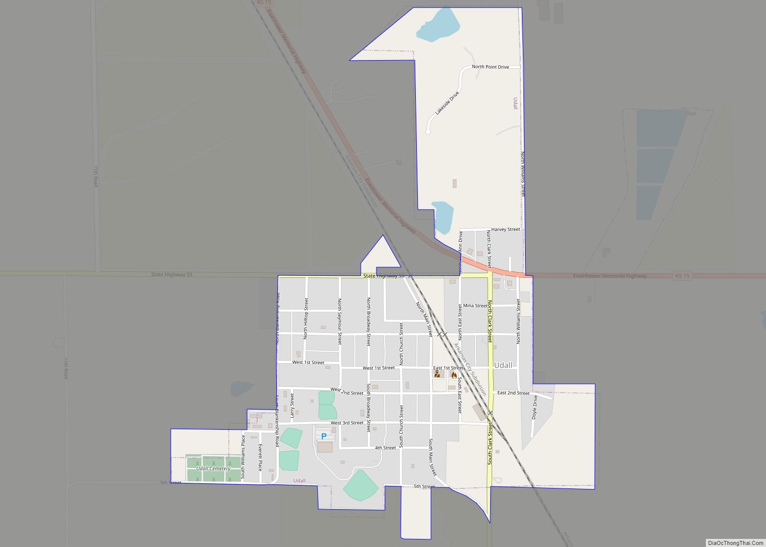
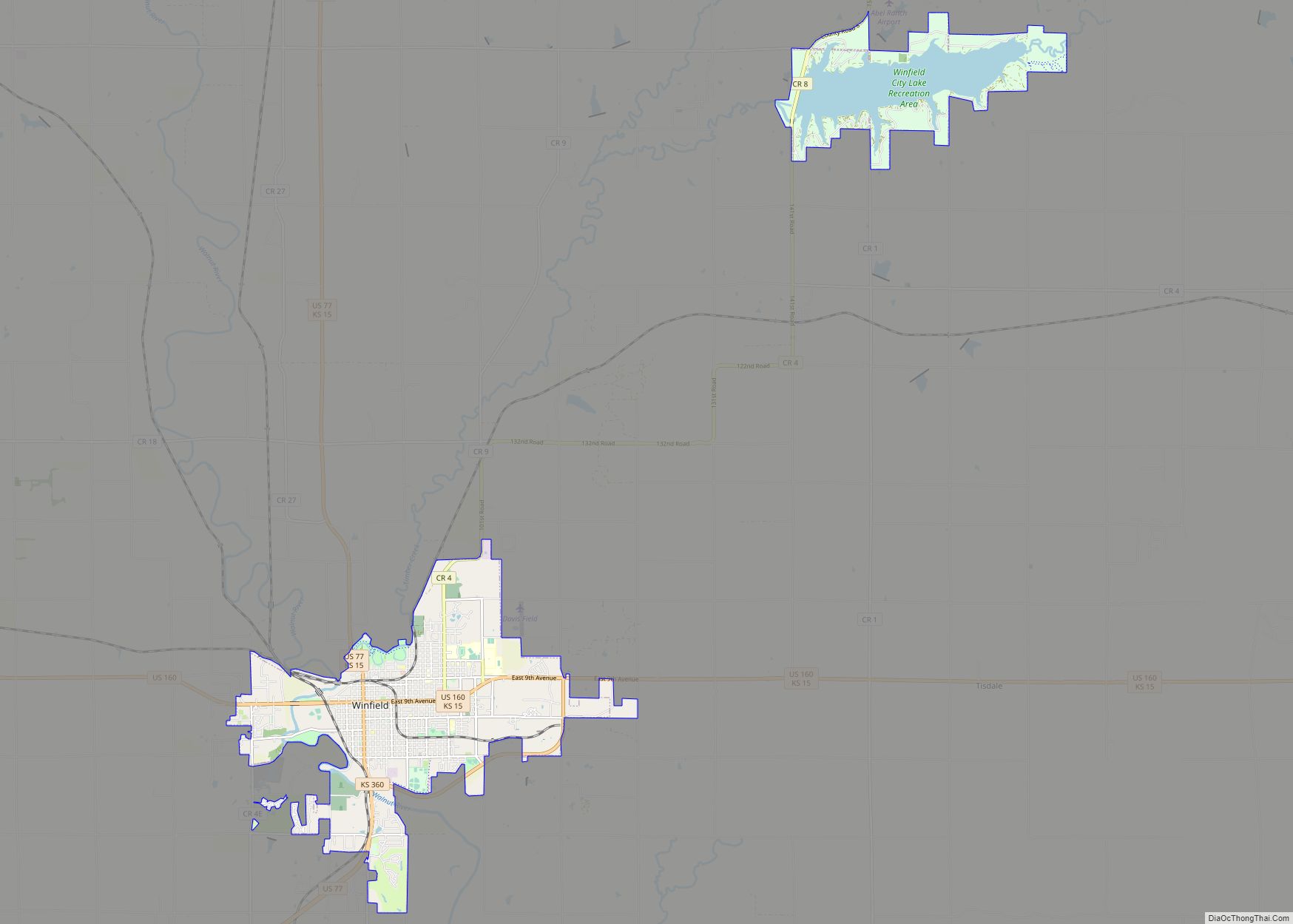
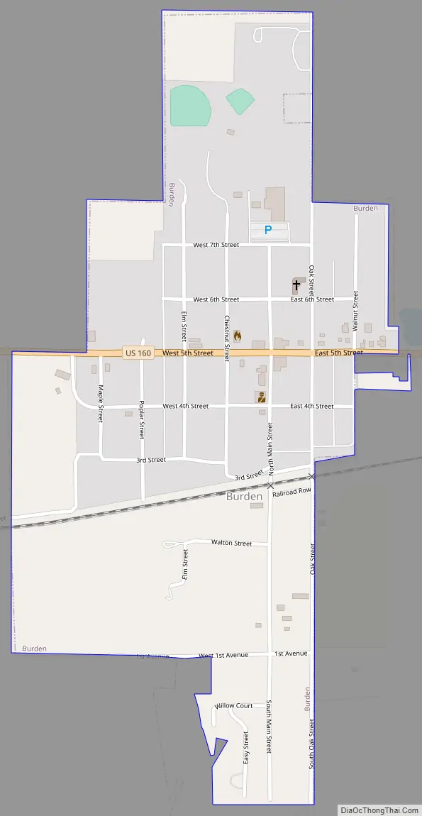
Online Interactive Map
Click on ![]() to view map in "full screen" mode.
to view map in "full screen" mode.
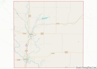
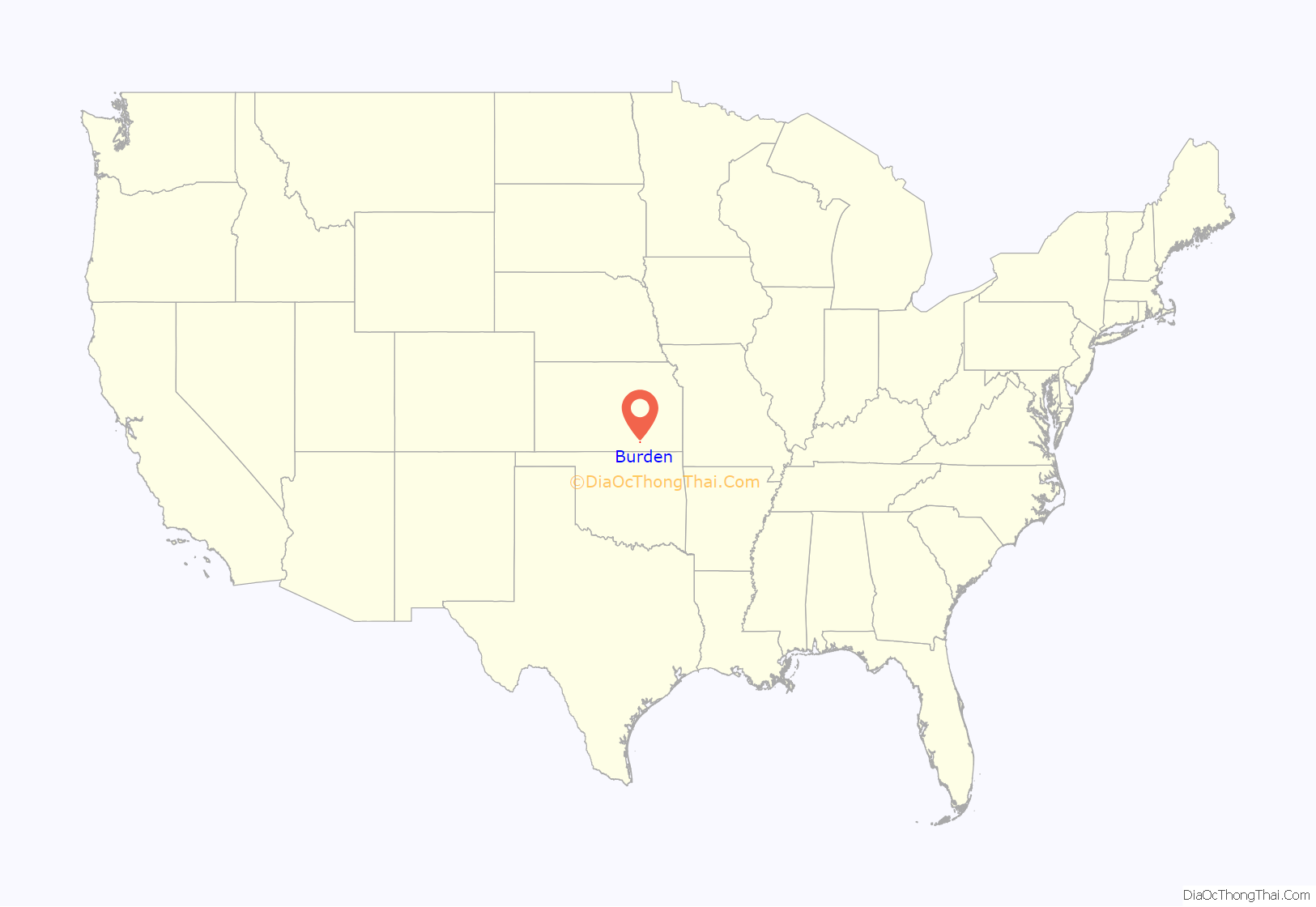
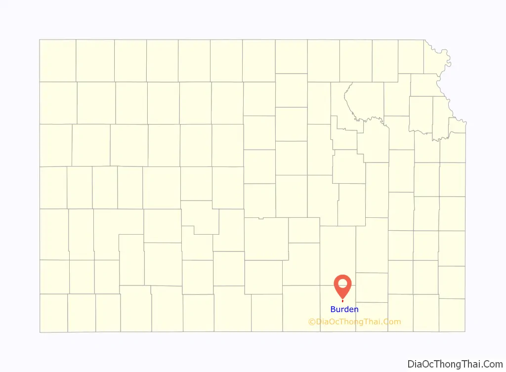
Burden location map. Where is Burden city?
History
In 1879, in anticipation of the coming of the Kansas City, Lawrence and Southern Railroad, the town of Burden was surveyed and laid out by a town company including Robert F. Burden, for whom the town is named. The railroad, whose name changed to the Atchison, Topeka and Santa Fe, arrived on February 1, 1882.
The early buildings included a general store, drug store, and post office. The post office, called Burdenville until 1884, was established in 1879. The first newspaper, printed in 1880, was the Enterprise with a circulation in 1882 of 900. A school which had been located one mile north of the town site was relocated to the town in the summer of 1881.
Burden was a station and shipping point on the Atchison, Topeka and Santa Fe Railway.
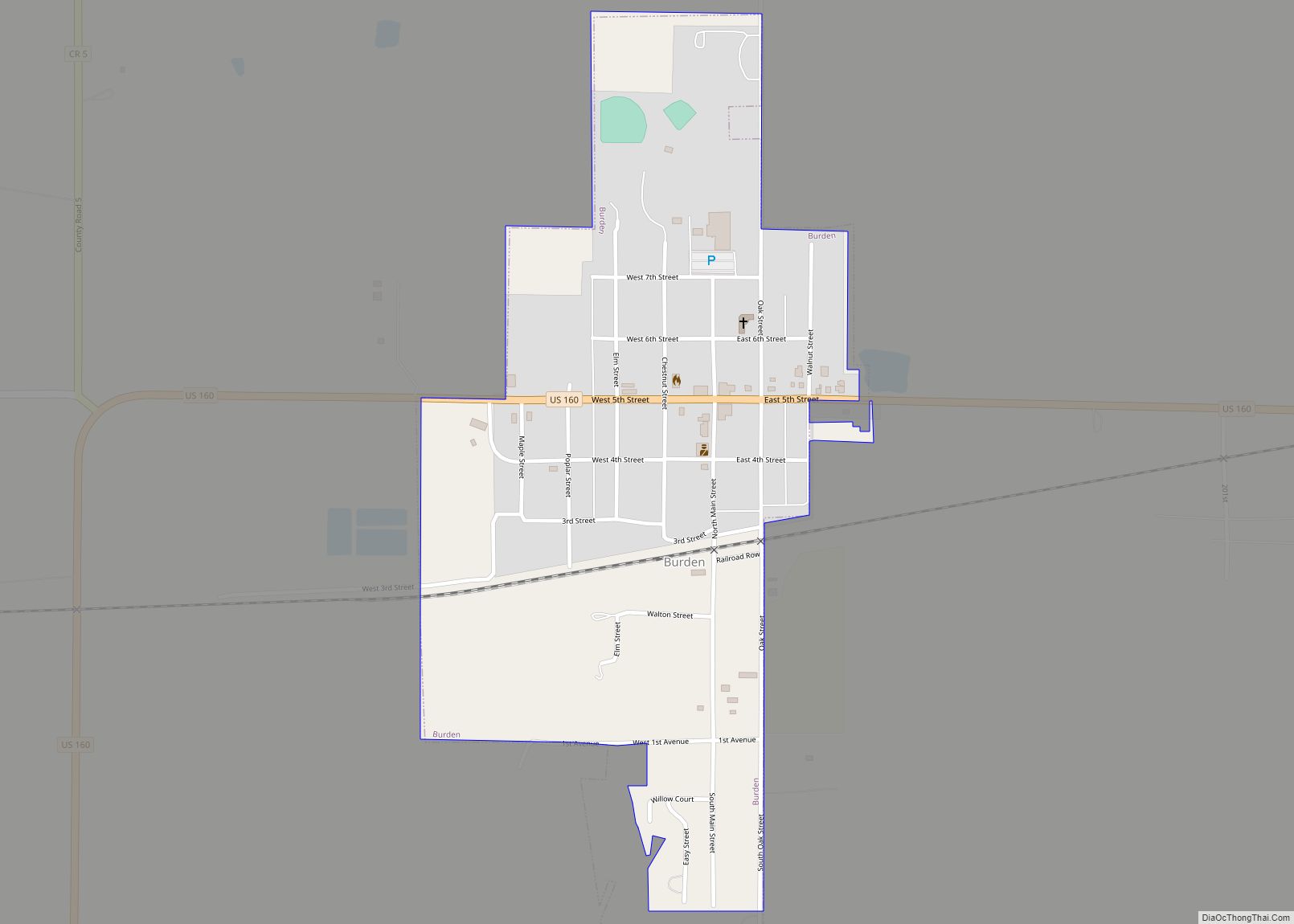
Burden Road Map
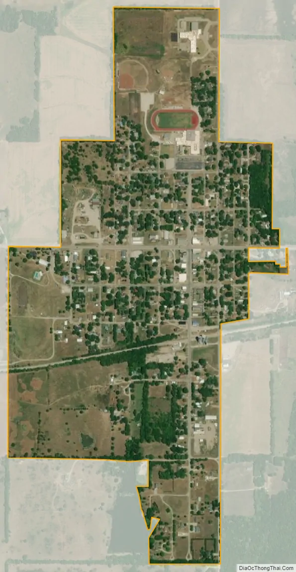
Burden city Satellite Map
Geography
Burden is located at 37°18′51″N 96°45′19″W / 37.31417°N 96.75528°W / 37.31417; -96.75528 (37.314128, -96.755377). According to the United States Census Bureau, the city has a total area of 0.54 square miles (1.40 km), of which, 0.53 square miles (1.37 km) is land and 0.01 square miles (0.03 km) is water.
See also
Map of Kansas State and its subdivision:- Allen
- Anderson
- Atchison
- Barber
- Barton
- Bourbon
- Brown
- Butler
- Chase
- Chautauqua
- Cherokee
- Cheyenne
- Clark
- Clay
- Cloud
- Coffey
- Comanche
- Cowley
- Crawford
- Decatur
- Dickinson
- Doniphan
- Douglas
- Edwards
- Elk
- Ellis
- Ellsworth
- Finney
- Ford
- Franklin
- Geary
- Gove
- Graham
- Grant
- Gray
- Greeley
- Greenwood
- Hamilton
- Harper
- Harvey
- Haskell
- Hodgeman
- Jackson
- Jefferson
- Jewell
- Johnson
- Kearny
- Kingman
- Kiowa
- Labette
- Lane
- Leavenworth
- Lincoln
- Linn
- Logan
- Lyon
- Marion
- Marshall
- McPherson
- Meade
- Miami
- Mitchell
- Montgomery
- Morris
- Morton
- Nemaha
- Neosho
- Ness
- Norton
- Osage
- Osborne
- Ottawa
- Pawnee
- Phillips
- Pottawatomie
- Pratt
- Rawlins
- Reno
- Republic
- Rice
- Riley
- Rooks
- Rush
- Russell
- Saline
- Scott
- Sedgwick
- Seward
- Shawnee
- Sheridan
- Sherman
- Smith
- Stafford
- Stanton
- Stevens
- Sumner
- Thomas
- Trego
- Wabaunsee
- Wallace
- Washington
- Wichita
- Wilson
- Woodson
- Wyandotte
- Alabama
- Alaska
- Arizona
- Arkansas
- California
- Colorado
- Connecticut
- Delaware
- District of Columbia
- Florida
- Georgia
- Hawaii
- Idaho
- Illinois
- Indiana
- Iowa
- Kansas
- Kentucky
- Louisiana
- Maine
- Maryland
- Massachusetts
- Michigan
- Minnesota
- Mississippi
- Missouri
- Montana
- Nebraska
- Nevada
- New Hampshire
- New Jersey
- New Mexico
- New York
- North Carolina
- North Dakota
- Ohio
- Oklahoma
- Oregon
- Pennsylvania
- Rhode Island
- South Carolina
- South Dakota
- Tennessee
- Texas
- Utah
- Vermont
- Virginia
- Washington
- West Virginia
- Wisconsin
- Wyoming