Chanute (/ʃəˈnuːt/) is a city in Neosho County, Kansas, United States. Founded on January 1, 1873, it was named after railroad engineer and aviation pioneer Octave Chanute. As of the 2020 census, the population of the city was 8,722. Chanute is home of Neosho County Community College.
| Name: | Chanute city |
|---|---|
| LSAD Code: | 25 |
| LSAD Description: | city (suffix) |
| State: | Kansas |
| County: | Neosho County |
| Founded: | 1873 |
| Incorporated: | 1873 |
| Elevation: | 955 ft (291 m) |
| Total Area: | 7.22 sq mi (18.70 km²) |
| Land Area: | 7.10 sq mi (18.38 km²) |
| Water Area: | 0.12 sq mi (0.32 km²) |
| Total Population: | 8,722 |
| Population Density: | 1,200/sq mi (470/km²) |
| ZIP code: | 66720 |
| Area code: | 620 |
| FIPS code: | 2012500 |
| Website: | chanute.org |
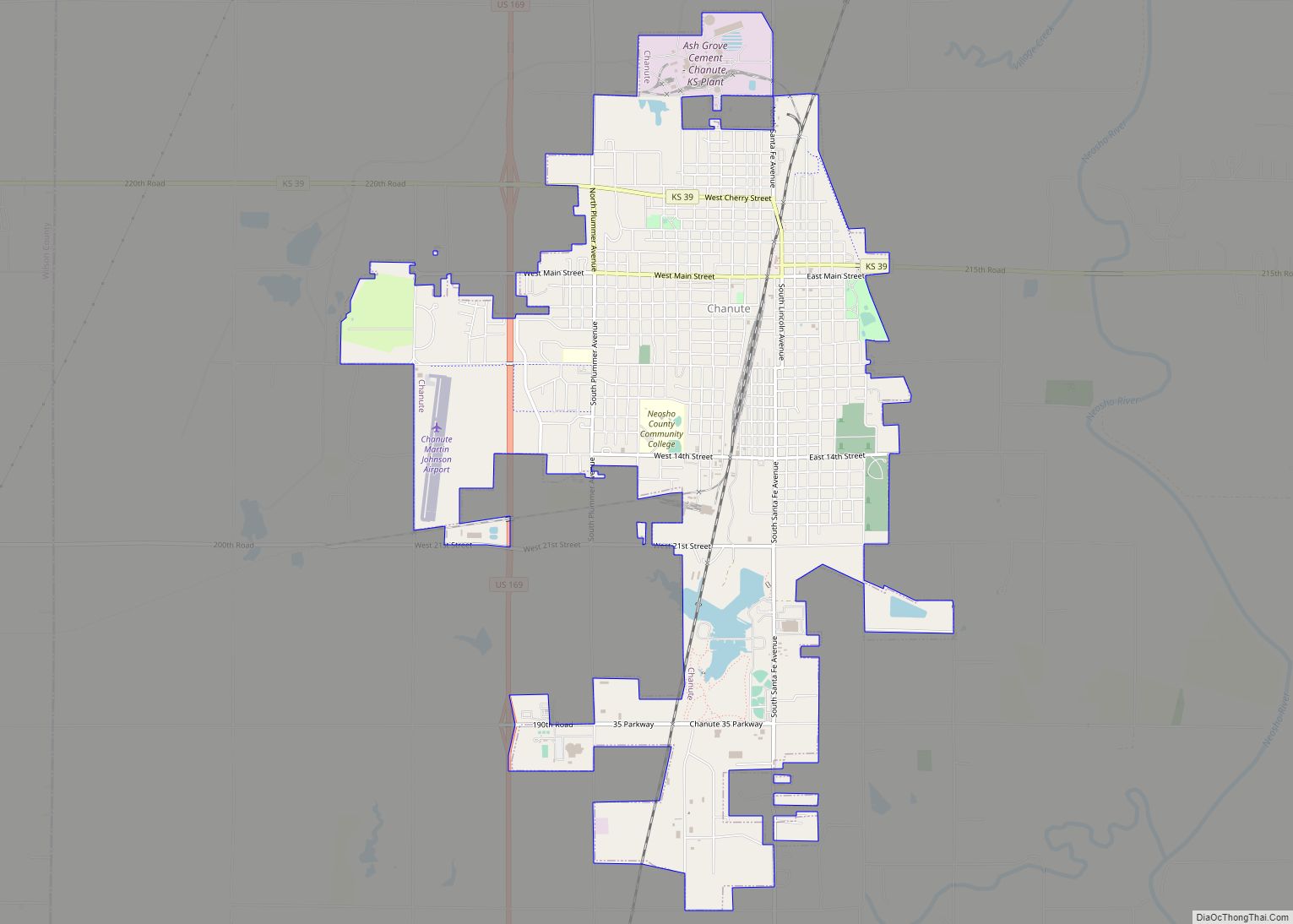
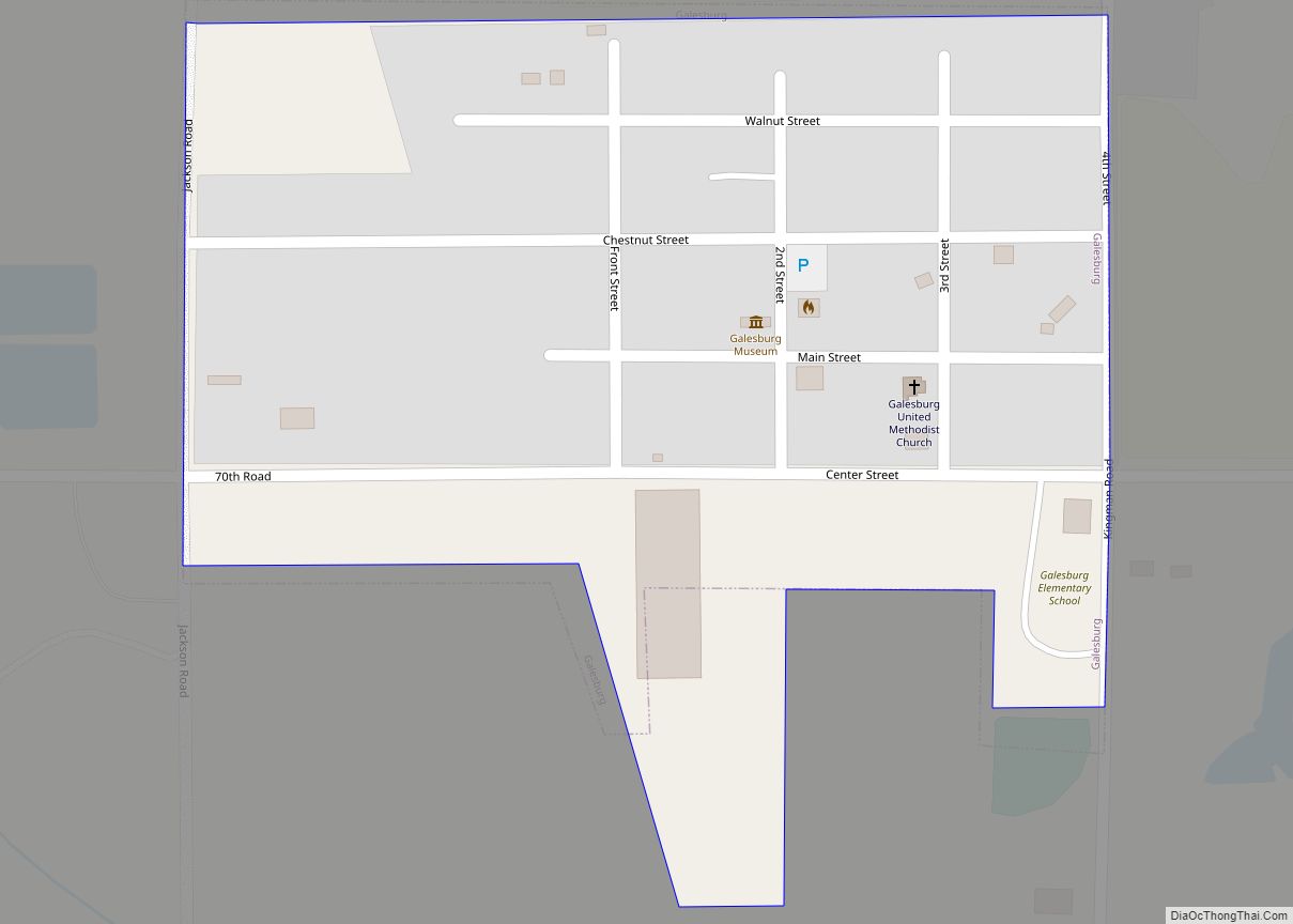
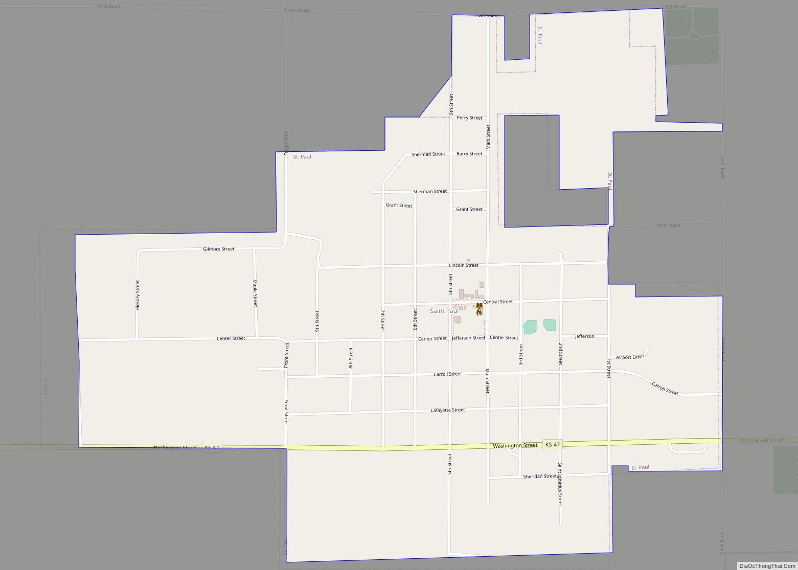
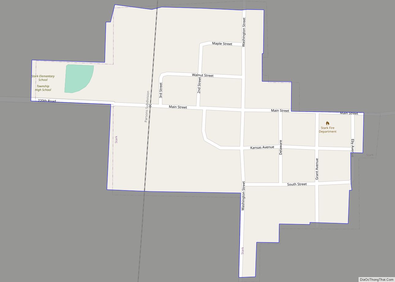
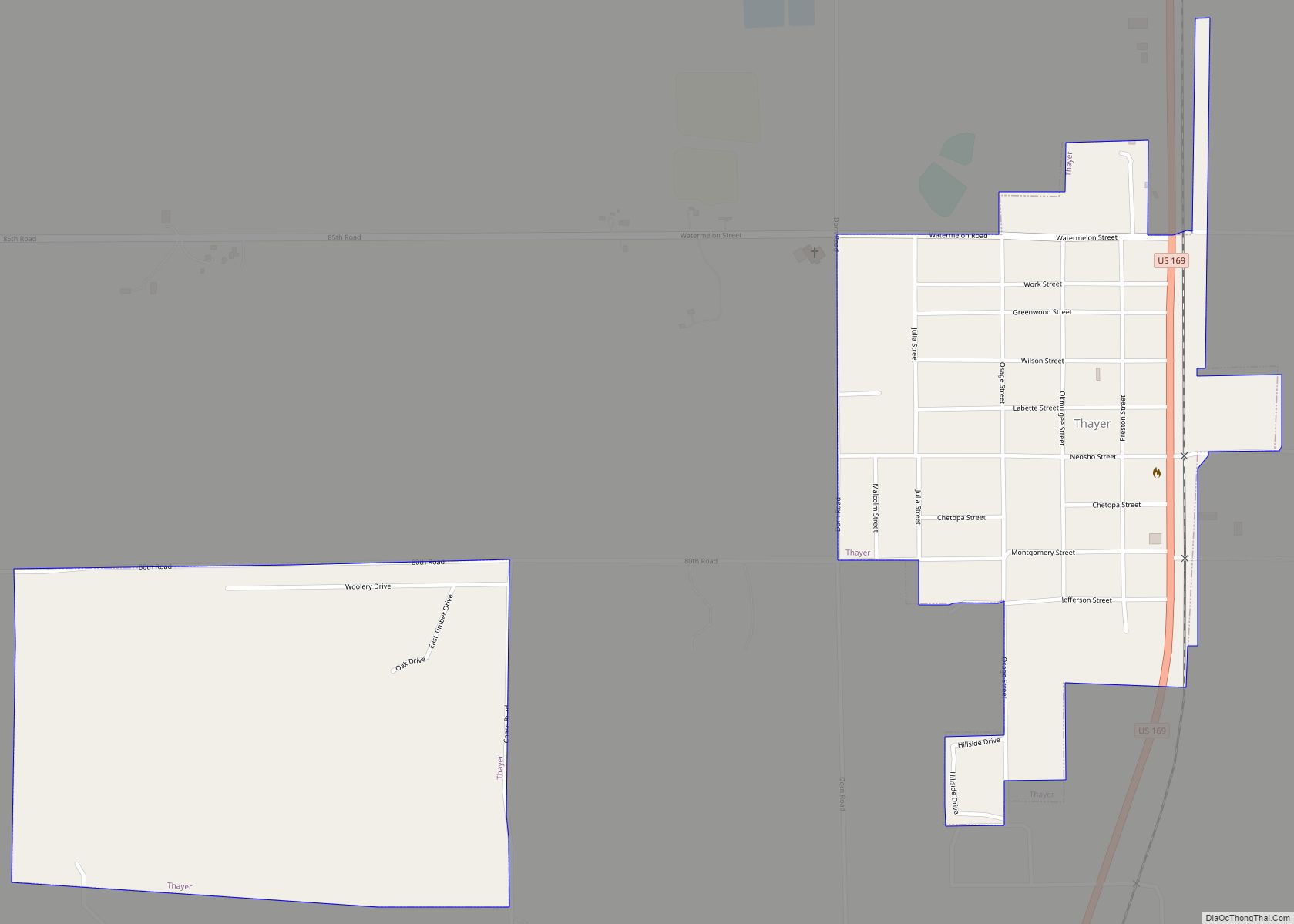
Online Interactive Map
Click on ![]() to view map in "full screen" mode.
to view map in "full screen" mode.
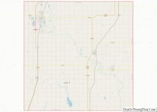
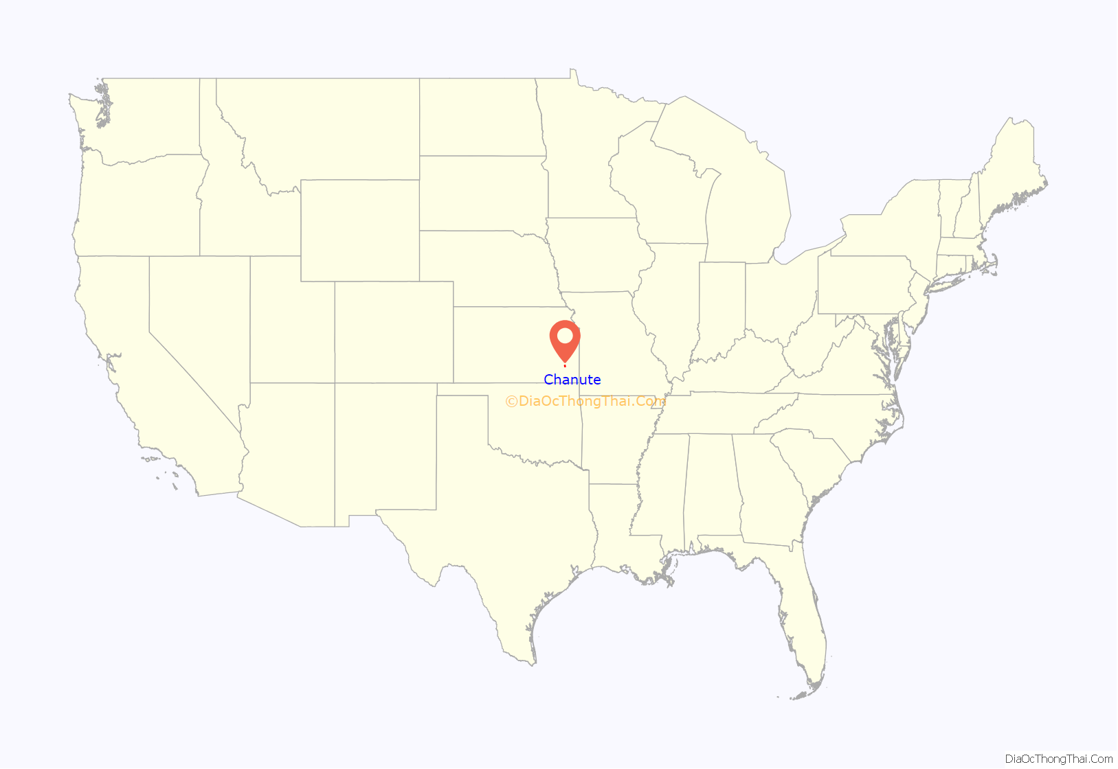
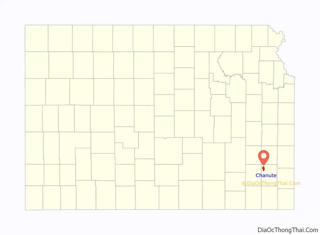
Chanute location map. Where is Chanute city?
History
In 1870 when the Leavenworth, Lawrence & Galveston Rail Road (later the Atchison, Topeka & Santa Fe, now the BNSF Railway) crossed the Missouri, Kansas and Texas line within the limits of Neosho county four rival towns sprang up, in the vicinity of the junction: New Chicago, Chicago Junction, Alliance, and Tioga. Two years of the most bitter animosity ensued until the four were consolidated in 1872, and the name of Chanute given it in honor of Octave Chanute, a railroad civil engineer.
Settlers had begun populating the area as early as 1856. With the LL&G Railroad set to arrive shortly thereafter, the early residents of the towns of Tioga, Chicago Junction, Alliance, and New Chicago needed an innovative solution to an escalating dispute over which town would claim the right to house the LL&G Railroad’s new land office. The towns were unable to settle their differences until an individual by the name of Octave Chanute came to town. Octave was the Chief Engineer and General Superintendent of the LL&G Railroad. In 1872, he suggested the towns merge to end the bickering. On January 1, 1873 the towns merged and became Chanute.
With the Southern Kansas Railroad locating a division headquarters in Chanute, the city began to flourish. In 1887, Chanute boasted a rapid growth in flourmills, grain elevators, banks, drug and hardware stores, and natural gas. In 1903, the City of Chanute established the electric utility, and in the years to follow, established the gas, water, wastewater, refuse utilities. Ash Grove Cement Company, the sixth largest cement manufacturer in North America, commenced cement manufacture in 1908 in Chanute. In September 2011 Spirit AeroSystems announced the expansion of an assembly facility which will grow to 150 employees in five years and boost the local economy.
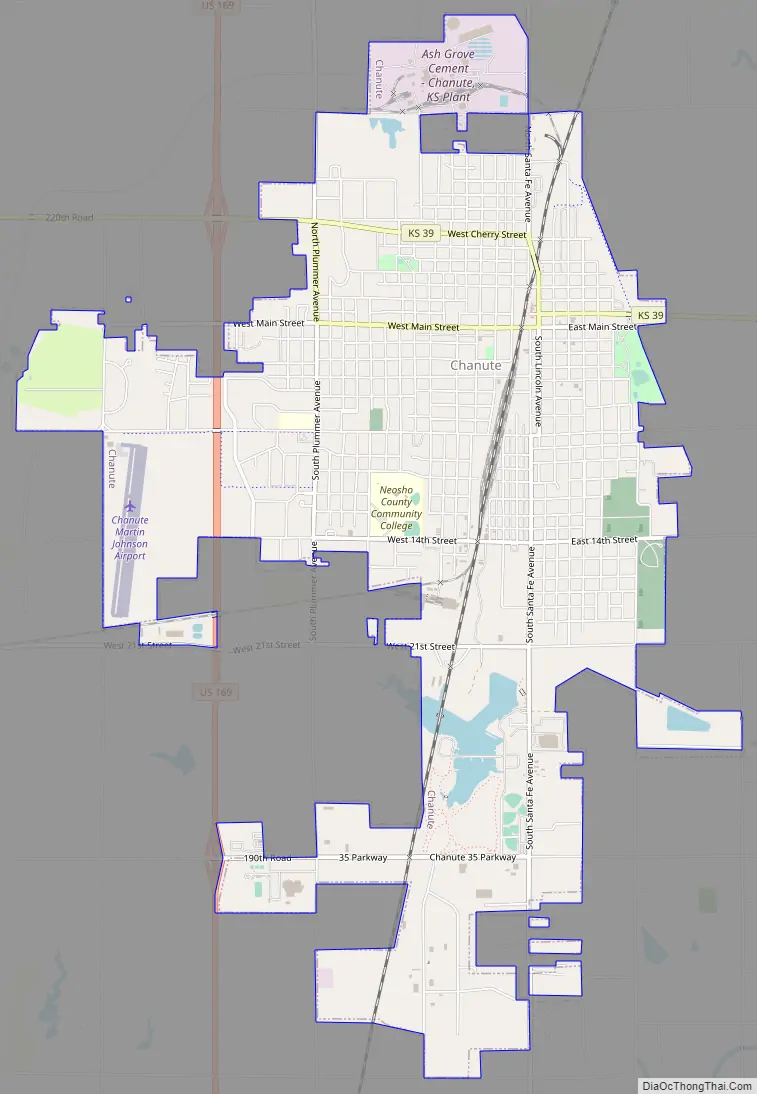
Chanute Road Map
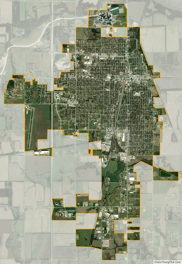
Chanute city Satellite Map
Geography
According to the United States Census Bureau, the city has a total area of 7.15 square miles (18.52 km), of which 7.03 square miles (18.21 km) is land and 0.12 square miles (0.31 km) is water.
Climate
According to the Köppen Climate Classification system, Chanute has a humid subtropical climate, abbreviated “Cfa” on climate maps. The hottest temperature recorded in Chanute was 116 °F (46.7 °C) on July 18, 1936, while the coldest temperature recorded was −23 °F (−30.6 °C) on January 30, 1949.
See also
Map of Kansas State and its subdivision:- Allen
- Anderson
- Atchison
- Barber
- Barton
- Bourbon
- Brown
- Butler
- Chase
- Chautauqua
- Cherokee
- Cheyenne
- Clark
- Clay
- Cloud
- Coffey
- Comanche
- Cowley
- Crawford
- Decatur
- Dickinson
- Doniphan
- Douglas
- Edwards
- Elk
- Ellis
- Ellsworth
- Finney
- Ford
- Franklin
- Geary
- Gove
- Graham
- Grant
- Gray
- Greeley
- Greenwood
- Hamilton
- Harper
- Harvey
- Haskell
- Hodgeman
- Jackson
- Jefferson
- Jewell
- Johnson
- Kearny
- Kingman
- Kiowa
- Labette
- Lane
- Leavenworth
- Lincoln
- Linn
- Logan
- Lyon
- Marion
- Marshall
- McPherson
- Meade
- Miami
- Mitchell
- Montgomery
- Morris
- Morton
- Nemaha
- Neosho
- Ness
- Norton
- Osage
- Osborne
- Ottawa
- Pawnee
- Phillips
- Pottawatomie
- Pratt
- Rawlins
- Reno
- Republic
- Rice
- Riley
- Rooks
- Rush
- Russell
- Saline
- Scott
- Sedgwick
- Seward
- Shawnee
- Sheridan
- Sherman
- Smith
- Stafford
- Stanton
- Stevens
- Sumner
- Thomas
- Trego
- Wabaunsee
- Wallace
- Washington
- Wichita
- Wilson
- Woodson
- Wyandotte
- Alabama
- Alaska
- Arizona
- Arkansas
- California
- Colorado
- Connecticut
- Delaware
- District of Columbia
- Florida
- Georgia
- Hawaii
- Idaho
- Illinois
- Indiana
- Iowa
- Kansas
- Kentucky
- Louisiana
- Maine
- Maryland
- Massachusetts
- Michigan
- Minnesota
- Mississippi
- Missouri
- Montana
- Nebraska
- Nevada
- New Hampshire
- New Jersey
- New Mexico
- New York
- North Carolina
- North Dakota
- Ohio
- Oklahoma
- Oregon
- Pennsylvania
- Rhode Island
- South Carolina
- South Dakota
- Tennessee
- Texas
- Utah
- Vermont
- Virginia
- Washington
- West Virginia
- Wisconsin
- Wyoming