Chapman is a city in Dickinson County, Kansas, United States. As of the 2020 census, the population of the city was 1,377.
| Name: | Chapman city |
|---|---|
| LSAD Code: | 25 |
| LSAD Description: | city (suffix) |
| State: | Kansas |
| County: | Dickinson County |
| Founded: | 1868 |
| Elevation: | 1,112 ft (339 m) |
| Total Area: | 0.94 sq mi (2.42 km²) |
| Land Area: | 0.93 sq mi (2.42 km²) |
| Water Area: | 0.00 sq mi (0.00 km²) |
| Total Population: | 1,377 |
| Population Density: | 1,500/sq mi (570/km²) |
| ZIP code: | 67431 |
| Area code: | 785 |
| FIPS code: | 2012550 |
| Website: | chapmanks.com |
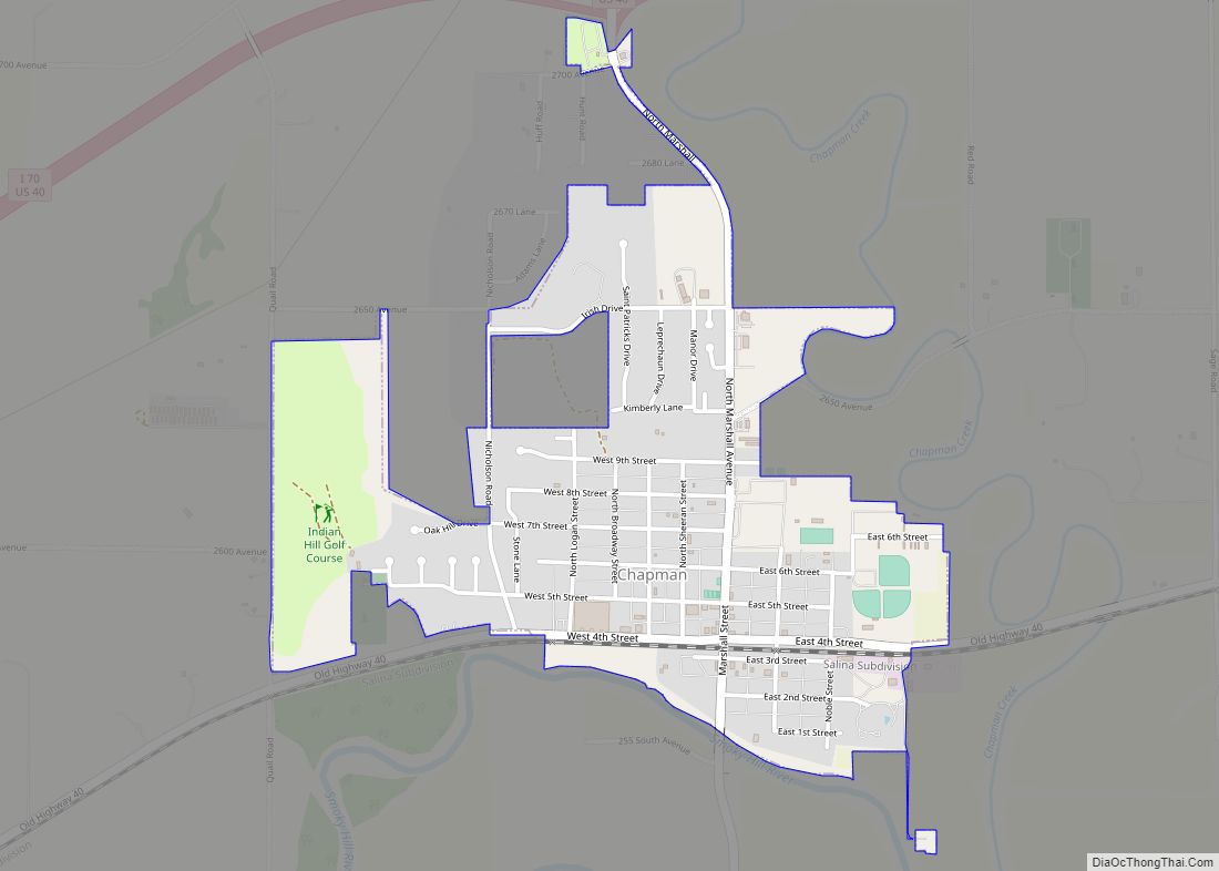
Online Interactive Map
Click on ![]() to view map in "full screen" mode.
to view map in "full screen" mode.
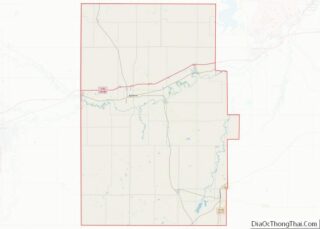
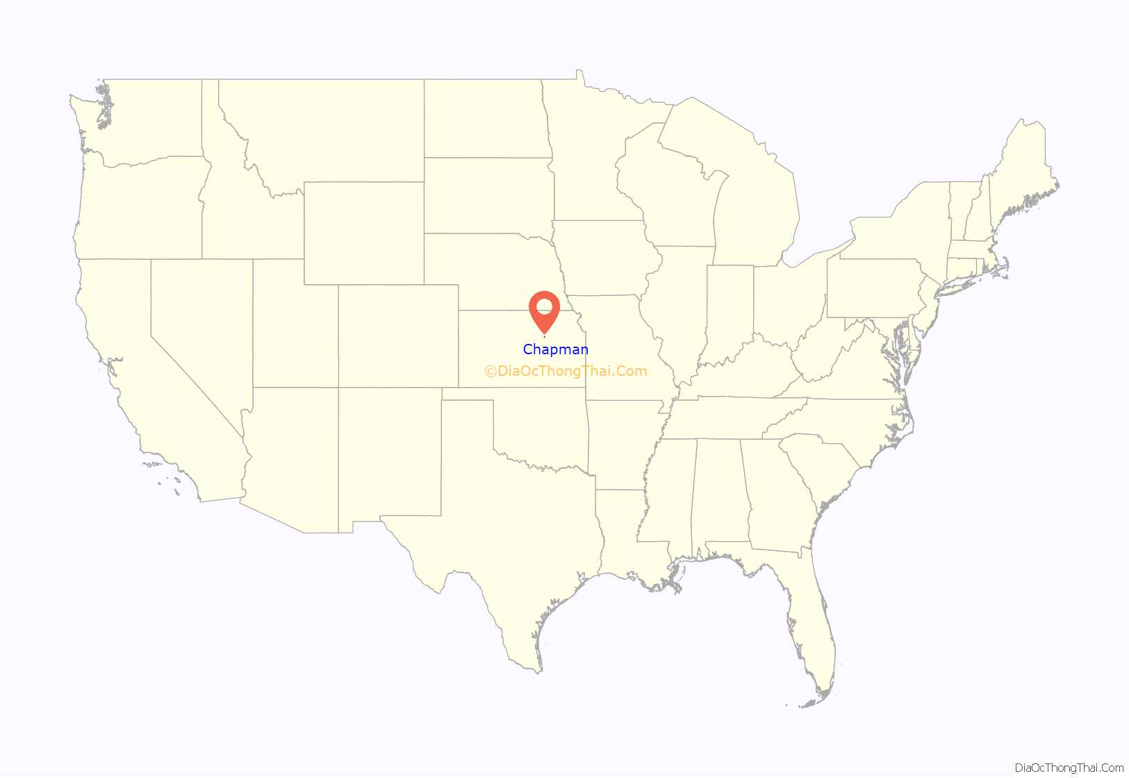
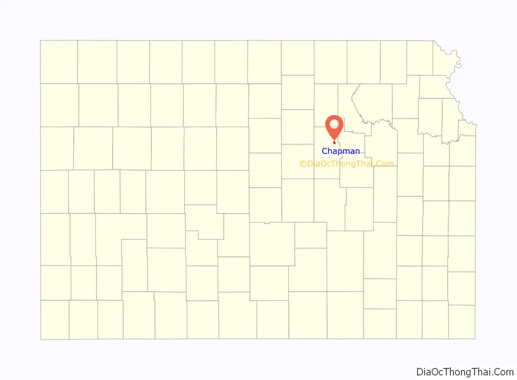
Chapman location map. Where is Chapman city?
History
The first settlement was made at Chapman in 1868, and the same year Jackman’s mill was built on Chapman creek a little northeast of the present town. James Streeter and S. M. Strickler laid out the town in 1871. It was named from the Chapman Creek.
The first post office at Chapman was established in 1866, but the post office was given the name Chapman’s Creek until 1872.
2008 tornado
On the evening of June 11, 2008, a ½-mile wide tornado swept through Chapman. The tornado moved from the southwest side of town, through the central business district, and then on out of town. Many buildings and structures in the town suffered extensive damage; most of the downtown area was obliterated and over 60 homes were destroyed. At least one person was confirmed dead in early reports. The American Red Cross estimated that seventy-five percent of homes suffered major damage and/or were destroyed. School buildings and churches suffered extensive damage and at least 200 people were displaced from the town.
Sharon Watson, public affairs director for the Kansas Army National Guard, said the damage was “very reminiscent of Greensburg,” a small city in southwestern Kansas that was similarly damaged during the May 2007 Tornado Outbreak.
Extreme Makeover: Home Edition
On January 23, 2009, Friday, in the episode “Tutwiler Family” (2009) of Extreme Makeover: Home Edition, the show helped rebuild their lives and homes. In the episode, the show arrived to assist an Iraq War veteran, his wife and their four young children, who were among those left homeless by the tornado. In addition to rebuilding the Tutwiler home, a coalition of builders, volunteers, and crew of Extreme Makeover: Home Edition helped neighbors with furniture and some rebuilding, and they built the town’s first community center that could also be used as a safe shelter for tornado protection. By the end of 2009, the Tutwiler family had placed their house on the market, saying they wanted to leave the town of Chapman, citing “scrutiny and ill feelings” from several Chapman residents who claimed the family did not deserve the makeover had made residing in their new home extremely difficult. The Tutweilers have since relocated to an army base in Texas. Later that year the house was sold.
2016 tornado
On May 25, 2016, a large tornado tore southwest of Chapman, which was placed under a tornado emergency. The violent and long-lived wedge tornado was on the ground for 25.09 miles (40.38 km) and lasted for at least 90 minutes, producing at least mid-range EF4 damage at its most intense point. While officially rated mid-range EF4, NWS Topeka damage surveyors noted that based on the damage that occurred in rural areas, an EF5 rating may have been necessary had the tornado hit any towns directly. The tornado began to weaken as it passed south of Chapman, causing extensive tree damage and inflicting low-end EF3 damage to a large farm house. To the southeast of Chapman, a home was shifted off of its foundation at EF1 intensity before the tornado dissipated shortly after 8:30 p.m. The tornado reached a maximum width of one half-mile wide along its path, and damaged or destroyed roughly 20 homes in Dickinson County. No fatalities and eight minor injuries occurred as a result of this tornado.
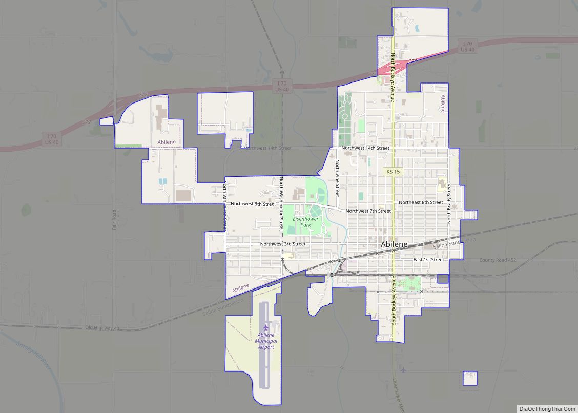
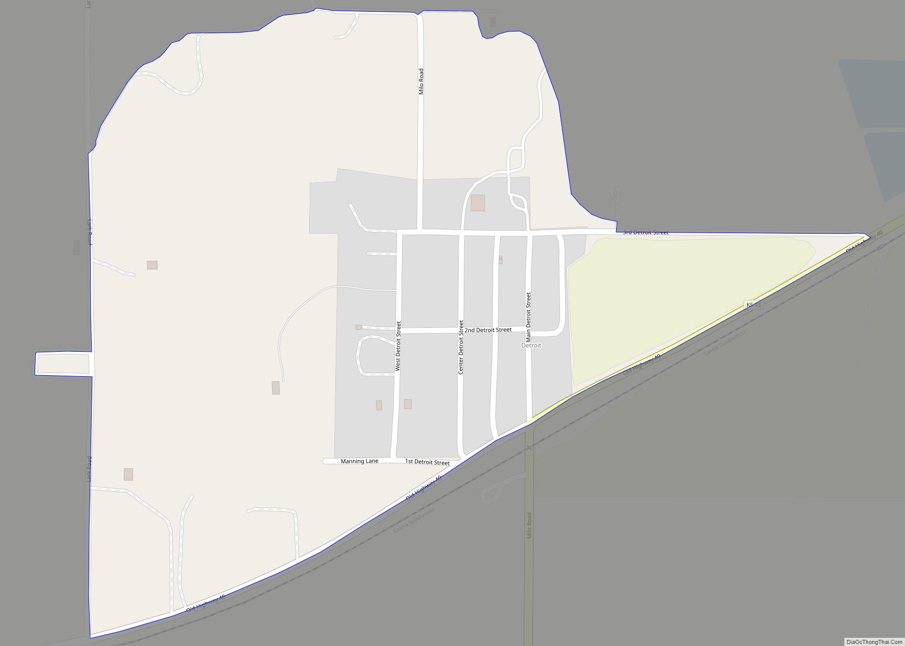
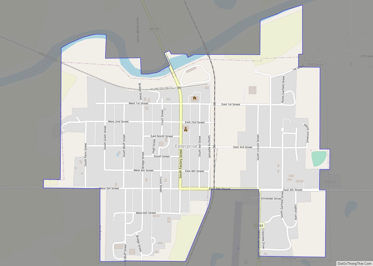
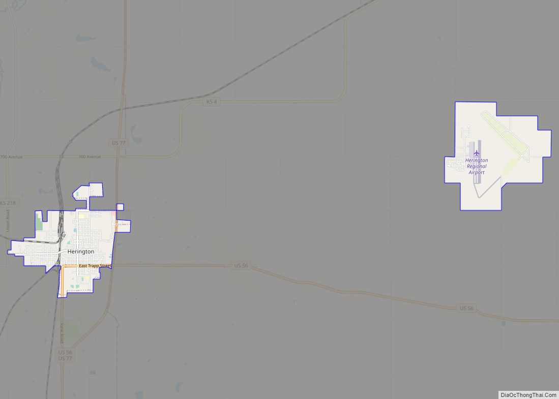
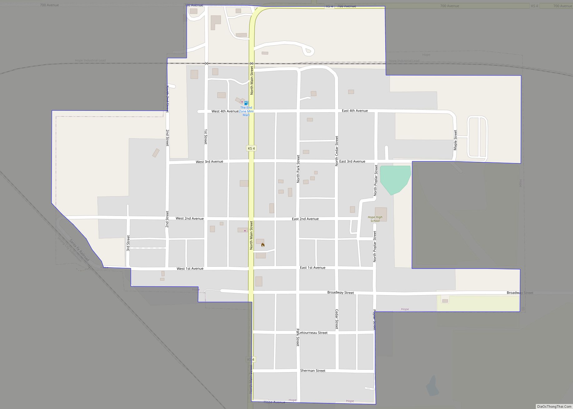
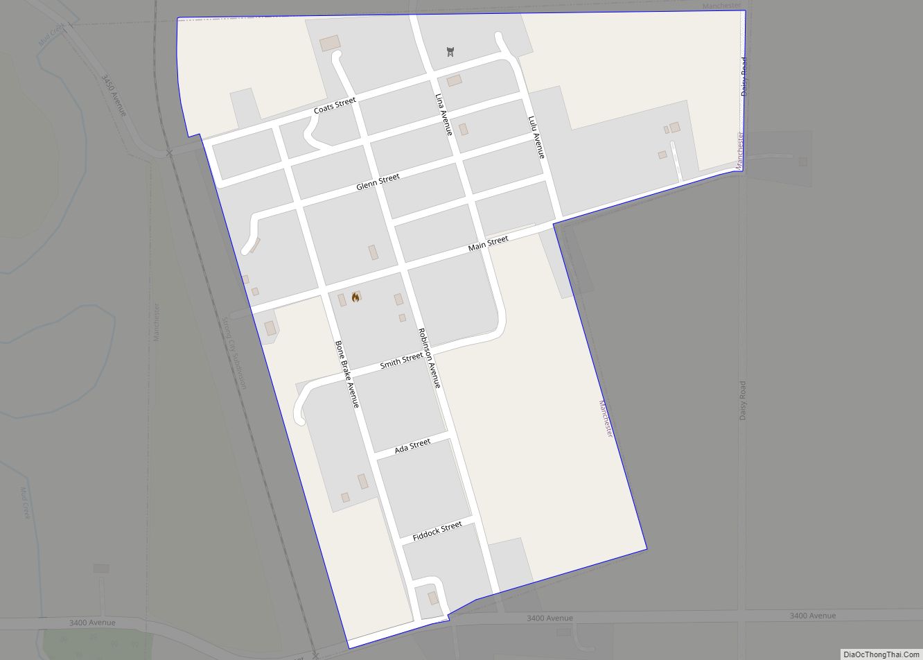
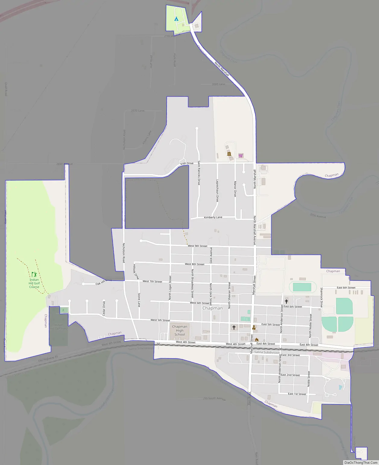
Chapman Road Map
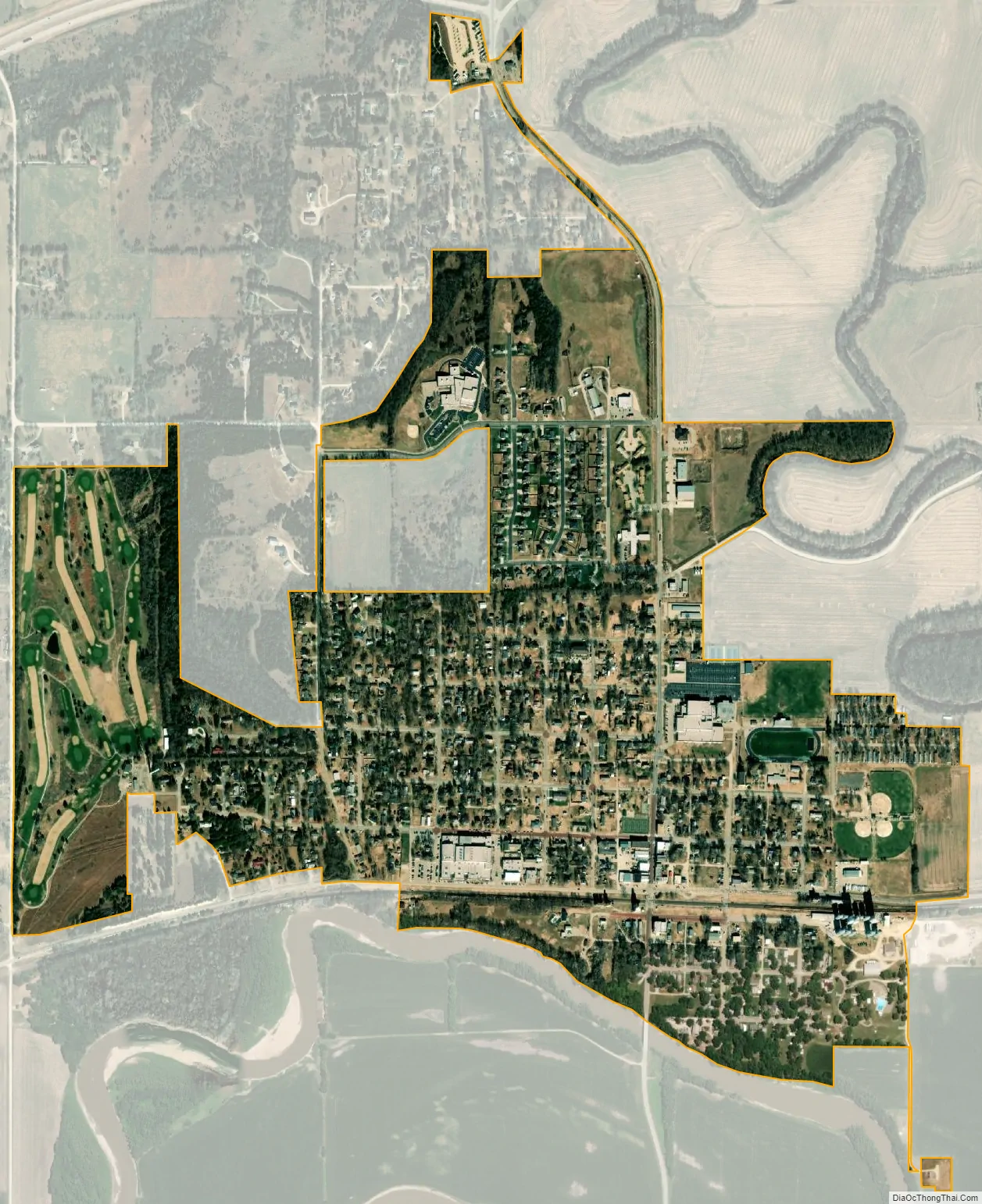
Chapman city Satellite Map
Geography
Chapman is located at 38°58′18″N 97°1′18″W / 38.97167°N 97.02167°W / 38.97167; -97.02167 (38.971772, -97.021791). According to the United States Census Bureau, the city has a total area of 0.86 square miles (2.23 km), all of it land.
Climate
The climate in this area is characterized by hot, humid summers and generally mild to cool winters. According to the Köppen Climate Classification system, Chapman has a humid subtropical climate, abbreviated “Cfa” on climate maps.
See also
Map of Kansas State and its subdivision:- Allen
- Anderson
- Atchison
- Barber
- Barton
- Bourbon
- Brown
- Butler
- Chase
- Chautauqua
- Cherokee
- Cheyenne
- Clark
- Clay
- Cloud
- Coffey
- Comanche
- Cowley
- Crawford
- Decatur
- Dickinson
- Doniphan
- Douglas
- Edwards
- Elk
- Ellis
- Ellsworth
- Finney
- Ford
- Franklin
- Geary
- Gove
- Graham
- Grant
- Gray
- Greeley
- Greenwood
- Hamilton
- Harper
- Harvey
- Haskell
- Hodgeman
- Jackson
- Jefferson
- Jewell
- Johnson
- Kearny
- Kingman
- Kiowa
- Labette
- Lane
- Leavenworth
- Lincoln
- Linn
- Logan
- Lyon
- Marion
- Marshall
- McPherson
- Meade
- Miami
- Mitchell
- Montgomery
- Morris
- Morton
- Nemaha
- Neosho
- Ness
- Norton
- Osage
- Osborne
- Ottawa
- Pawnee
- Phillips
- Pottawatomie
- Pratt
- Rawlins
- Reno
- Republic
- Rice
- Riley
- Rooks
- Rush
- Russell
- Saline
- Scott
- Sedgwick
- Seward
- Shawnee
- Sheridan
- Sherman
- Smith
- Stafford
- Stanton
- Stevens
- Sumner
- Thomas
- Trego
- Wabaunsee
- Wallace
- Washington
- Wichita
- Wilson
- Woodson
- Wyandotte
- Alabama
- Alaska
- Arizona
- Arkansas
- California
- Colorado
- Connecticut
- Delaware
- District of Columbia
- Florida
- Georgia
- Hawaii
- Idaho
- Illinois
- Indiana
- Iowa
- Kansas
- Kentucky
- Louisiana
- Maine
- Maryland
- Massachusetts
- Michigan
- Minnesota
- Mississippi
- Missouri
- Montana
- Nebraska
- Nevada
- New Hampshire
- New Jersey
- New Mexico
- New York
- North Carolina
- North Dakota
- Ohio
- Oklahoma
- Oregon
- Pennsylvania
- Rhode Island
- South Carolina
- South Dakota
- Tennessee
- Texas
- Utah
- Vermont
- Virginia
- Washington
- West Virginia
- Wisconsin
- Wyoming