Denison is a city in Jackson County, Kansas, United States. As of the 2020 census, the population of the city was 146.
| Name: | Denison city |
|---|---|
| LSAD Code: | 25 |
| LSAD Description: | city (suffix) |
| State: | Kansas |
| County: | Jackson County |
| Founded: | 1887 |
| Incorporated: | 1904 |
| Elevation: | 1,043 ft (318 m) |
| Total Area: | 0.11 sq mi (0.29 km²) |
| Land Area: | 0.11 sq mi (0.29 km²) |
| Water Area: | 0.00 sq mi (0.00 km²) |
| Total Population: | 146 |
| Population Density: | 1,300/sq mi (500/km²) |
| ZIP code: | 66419 |
| Area code: | 785 |
| FIPS code: | 2017625 |
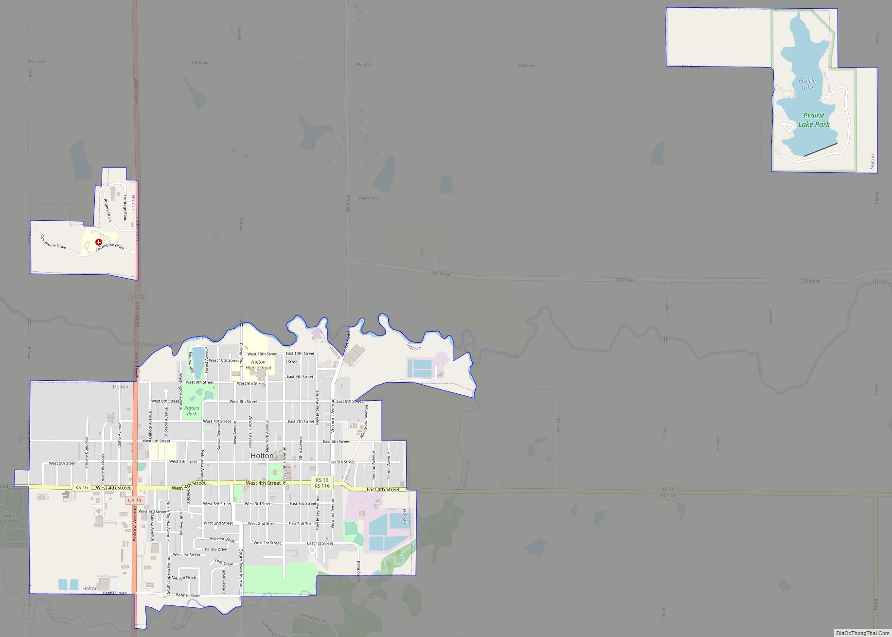
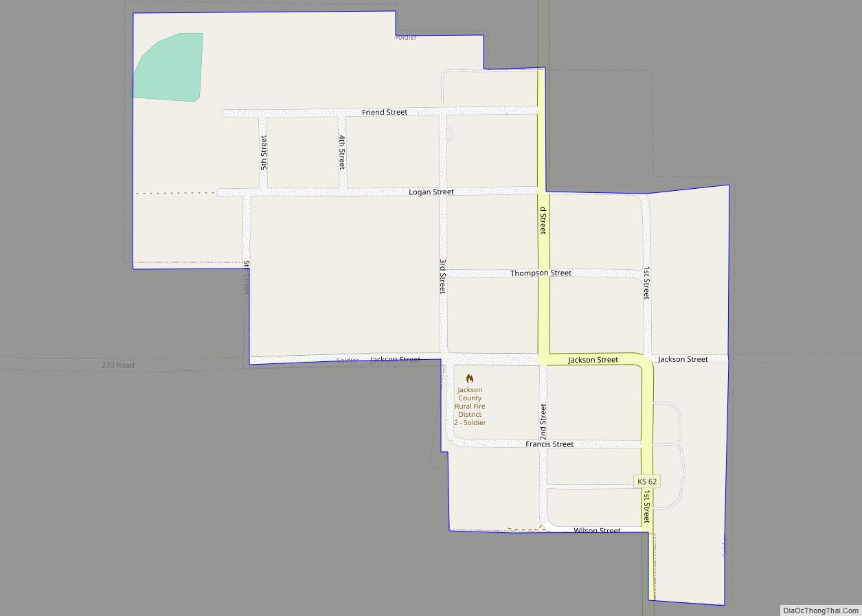
Online Interactive Map
Click on ![]() to view map in "full screen" mode.
to view map in "full screen" mode.
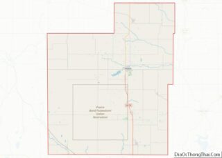
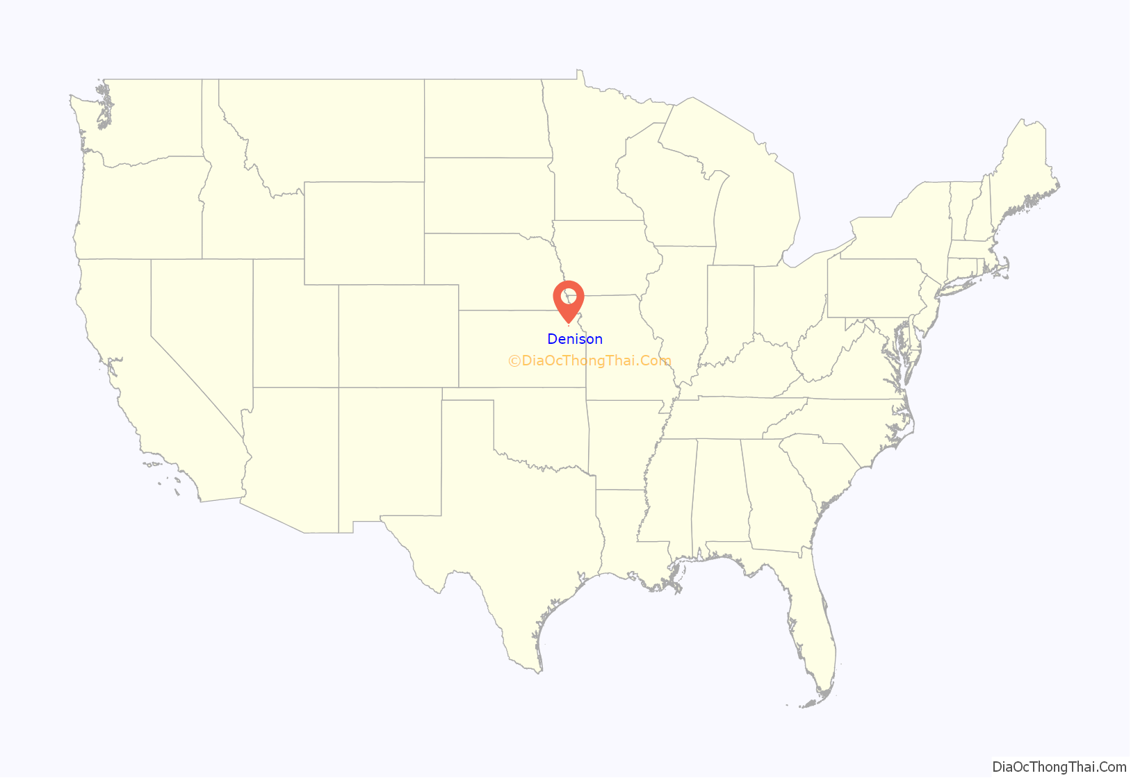
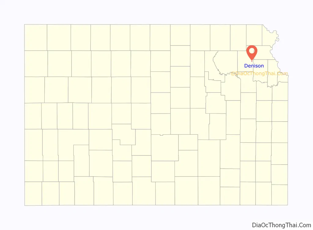
Denison location map. Where is Denison city?
History
19th century
Denison was founded as a result of the Kansas City, Wyandotte and Northwestern Railway laying tracks that would connect the communities of Valley Falls and Holton. The railroad was slated to come through one mile south of an existing village, Tippinville, and in September 1887, A.D. Walker and Hollis Tucker, land speculators, laid out lots for a new town, which was named after Tucker’s hometown, Denison, Ohio. Most of the houses and two churches in Tippinville were bodily moved to the new townsite, which is primarily in Garfield Township, with a small portion in Cedar Township (it was all Cedar Township at first). By August 1890, Tippinvile had been officially vacated and by 1894 Denison had a population of 150.
A number of Civil War veterans are buried in the Denison Cemetery (and nearby cemeteries, North and South Cedar Cemeteries), and there is one veteran of the Mexican–American War, G. W. White, buried at Denison. Eliza Cody Myers (Mrs. George Myers), sister of William F. “Buffalo Bill” Cody is also buried there. It was a truly exciting event for school children when Buffalo Bill came to Denison to visit his niece, Nellie Myers Copas, and her family.
A post office, named North Cedar, was established in 1867. The first school, built of logs, was established in 1858 south of present-day Denison, on the site of the North Cedar Cemetery. The first church in the area, of the Christian denomination was founded in 1856 by the Rev. J.T. Gardiner. The Reformed Presbyterian Church was established in 1871, with the Rev. J.S.T. Milligan the founding pastor; the United Presbyterian Church, in 1880; and the Denison Methodist Episcopal Church, in 1889. The Christian, United Presbyterian and Methodist churches united to become the Denison Union Church in 1958, and later became the Denison Bible Church. The Denison Christian Church building, erected in 1878, now houses the Denison Historical Museum, and is one of three Jackson Co. buildings included in the State Register of Historic Places.
20th century
The Denison State Bank was founded in 1901, and after its second robbery, in 1938, was moved to Holton, the county seat, where it thrives today under the same name. The Denison Rural High School was established in 1916, and a brick building was erected. It burned in 1938 and a new school building was completed in 1941. Due to school district unification, the last class to graduate from Denison High School was in 1969. However the school continued to serve lower grades until it closed its doors in 1990. Area students now attend schools in Holton.
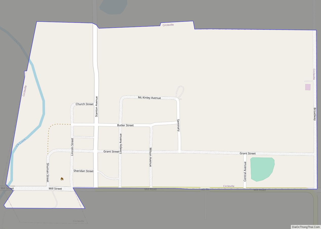
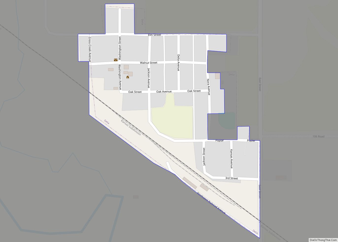
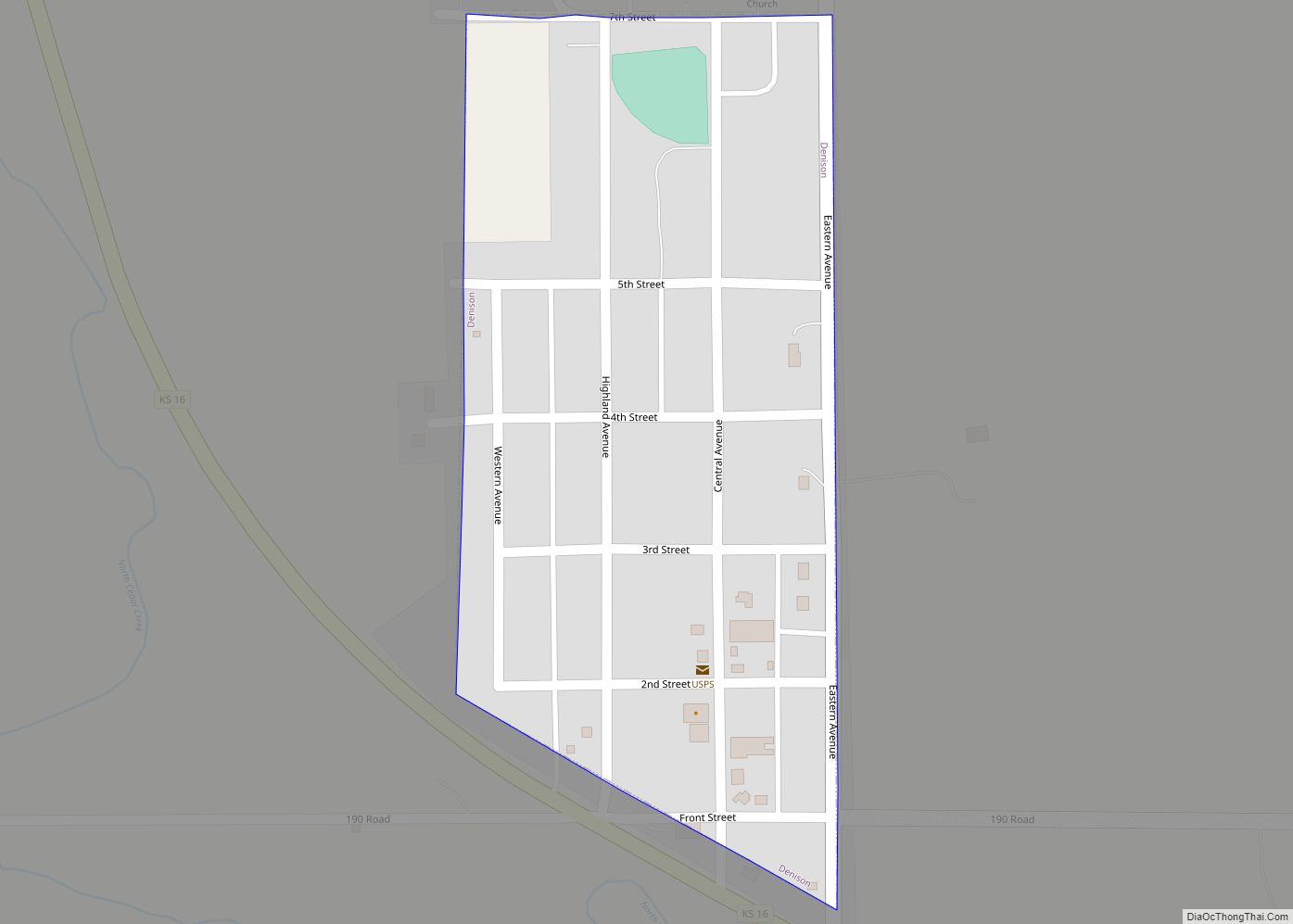
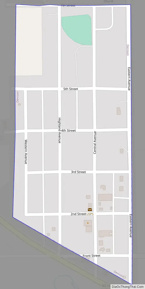
Denison Road Map
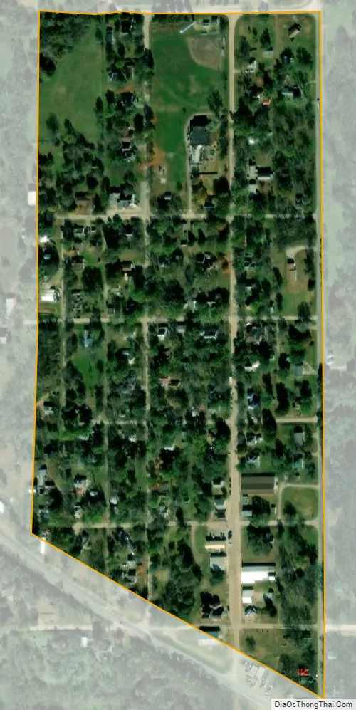
Denison city Satellite Map
Geography
Denison is located at 39°23′36″N 95°37′42″W / 39.39333°N 95.62833°W / 39.39333; -95.62833 (39.393206, -95.628409). According to the United States Census Bureau, the city has a total area of 0.11 square miles (0.28 km), all of it land.
See also
Map of Kansas State and its subdivision:- Allen
- Anderson
- Atchison
- Barber
- Barton
- Bourbon
- Brown
- Butler
- Chase
- Chautauqua
- Cherokee
- Cheyenne
- Clark
- Clay
- Cloud
- Coffey
- Comanche
- Cowley
- Crawford
- Decatur
- Dickinson
- Doniphan
- Douglas
- Edwards
- Elk
- Ellis
- Ellsworth
- Finney
- Ford
- Franklin
- Geary
- Gove
- Graham
- Grant
- Gray
- Greeley
- Greenwood
- Hamilton
- Harper
- Harvey
- Haskell
- Hodgeman
- Jackson
- Jefferson
- Jewell
- Johnson
- Kearny
- Kingman
- Kiowa
- Labette
- Lane
- Leavenworth
- Lincoln
- Linn
- Logan
- Lyon
- Marion
- Marshall
- McPherson
- Meade
- Miami
- Mitchell
- Montgomery
- Morris
- Morton
- Nemaha
- Neosho
- Ness
- Norton
- Osage
- Osborne
- Ottawa
- Pawnee
- Phillips
- Pottawatomie
- Pratt
- Rawlins
- Reno
- Republic
- Rice
- Riley
- Rooks
- Rush
- Russell
- Saline
- Scott
- Sedgwick
- Seward
- Shawnee
- Sheridan
- Sherman
- Smith
- Stafford
- Stanton
- Stevens
- Sumner
- Thomas
- Trego
- Wabaunsee
- Wallace
- Washington
- Wichita
- Wilson
- Woodson
- Wyandotte
- Alabama
- Alaska
- Arizona
- Arkansas
- California
- Colorado
- Connecticut
- Delaware
- District of Columbia
- Florida
- Georgia
- Hawaii
- Idaho
- Illinois
- Indiana
- Iowa
- Kansas
- Kentucky
- Louisiana
- Maine
- Maryland
- Massachusetts
- Michigan
- Minnesota
- Mississippi
- Missouri
- Montana
- Nebraska
- Nevada
- New Hampshire
- New Jersey
- New Mexico
- New York
- North Carolina
- North Dakota
- Ohio
- Oklahoma
- Oregon
- Pennsylvania
- Rhode Island
- South Carolina
- South Dakota
- Tennessee
- Texas
- Utah
- Vermont
- Virginia
- Washington
- West Virginia
- Wisconsin
- Wyoming