Dexter is a city in Cowley County, Kansas, United States. As of the 2020 census, the population of the city was 224.
| Name: | Dexter city |
|---|---|
| LSAD Code: | 25 |
| LSAD Description: | city (suffix) |
| State: | Kansas |
| County: | Cowley County |
| Founded: | 1870 |
| Incorporated: | 1884 |
| Elevation: | 1,207 ft (368 m) |
| Total Area: | 0.28 sq mi (0.72 km²) |
| Land Area: | 0.28 sq mi (0.72 km²) |
| Water Area: | 0.00 sq mi (0.00 km²) |
| Total Population: | 224 |
| Population Density: | 800/sq mi (310/km²) |
| ZIP code: | 67038 |
| Area code: | 620 |
| FIPS code: | 2017925 |
Online Interactive Map
Click on ![]() to view map in "full screen" mode.
to view map in "full screen" mode.
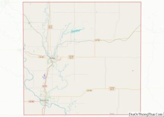
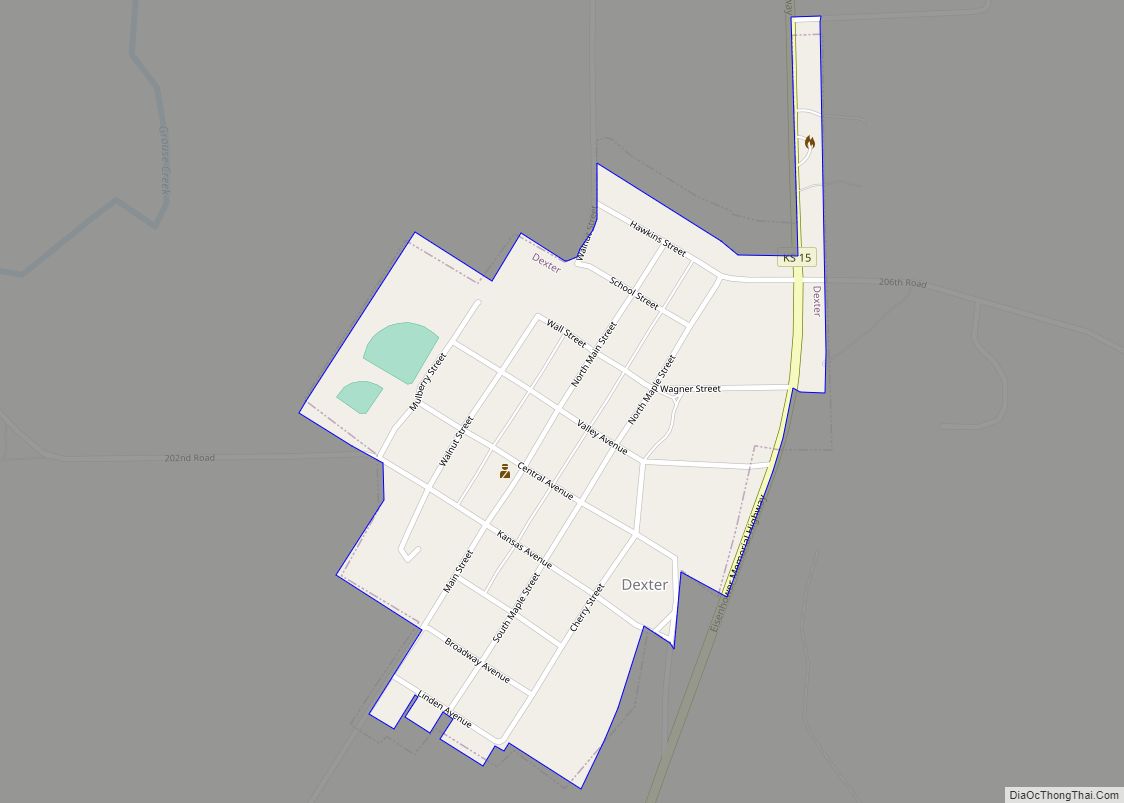
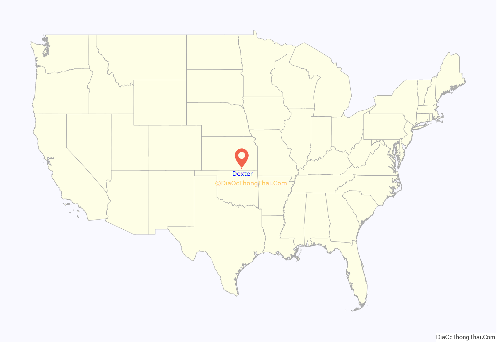
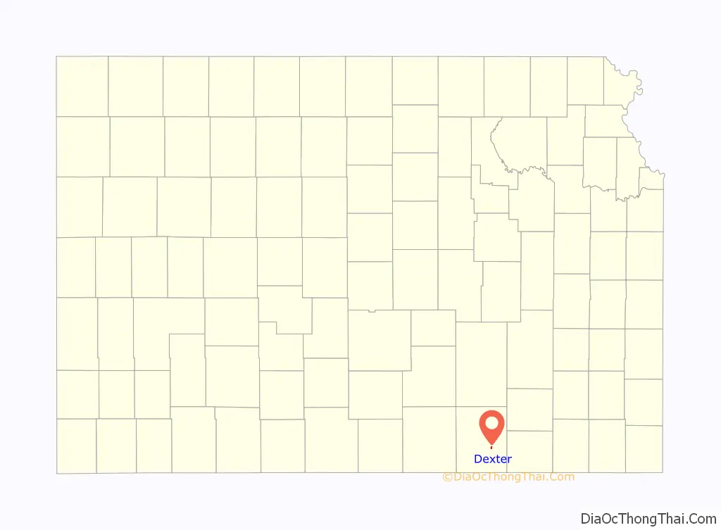
Dexter location map. Where is Dexter city?
History
The first post office at Dexter was established in July, 1870.
Dexter was platted in 1875. Dexter is named for a trotting horse belonging to Robert Bonner of New York.
Early in the 20th century Dexter became the focus of research that would confirm the existence of an abundance of naturally occurring and readily available helium. In May 1903, a newly drilled natural gas well was found to contain a nonflammable gas. Researchers at the University of Kansas found the “Dexter gas” contained only 15 percent methane and 72 percent nitrogen, causing the gas to be nonflammable. In addition they discovered helium within an “inert residue” in the gas and, after expanding their research to other wells throughout Kansas, Missouri, and Oklahoma, published a paper in 1907 saying that helium could be extracted from natural gas. Helium did not have any practical applications at the time, but by 1917 the federal government was sponsoring extensive research into the possibility of using helium in airships.
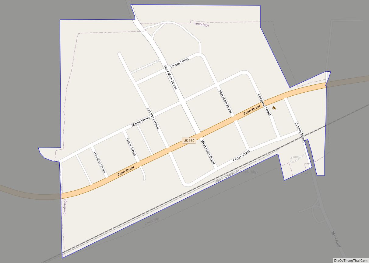
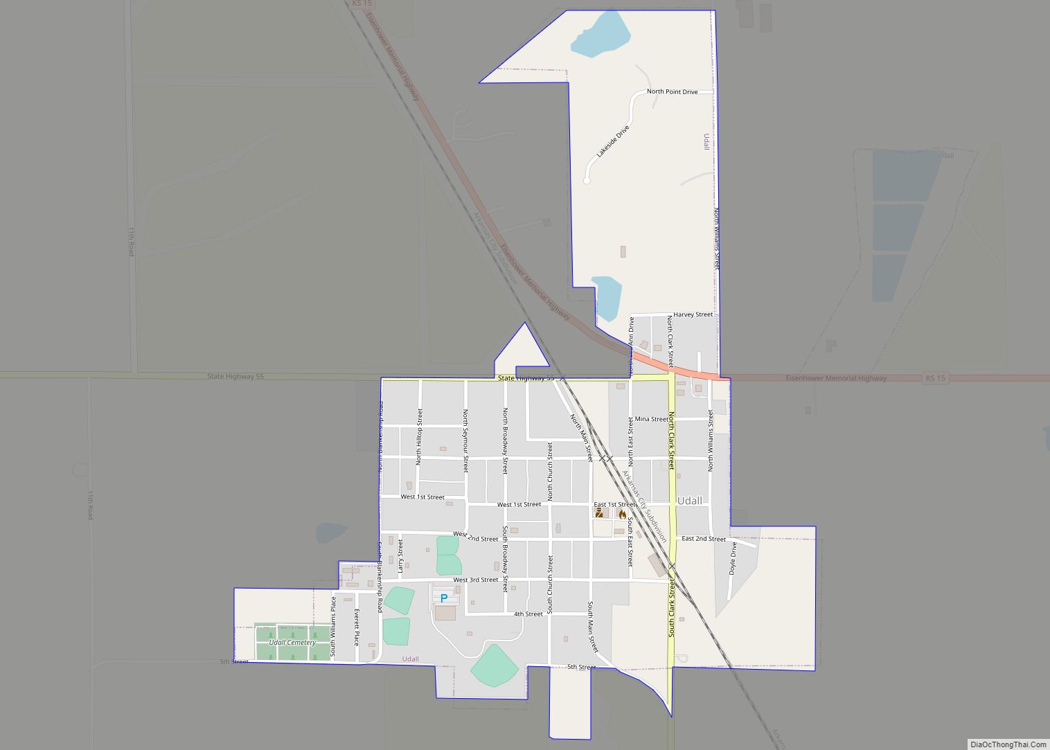
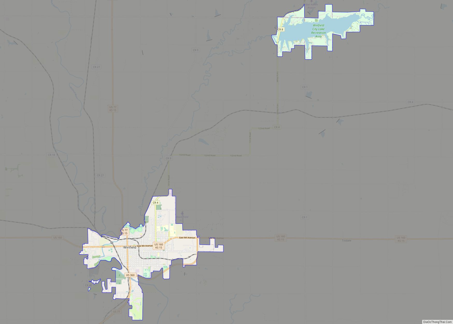
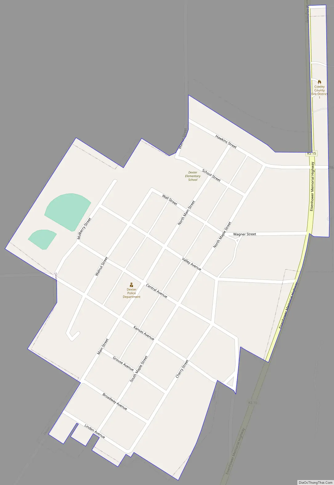
Dexter Road Map
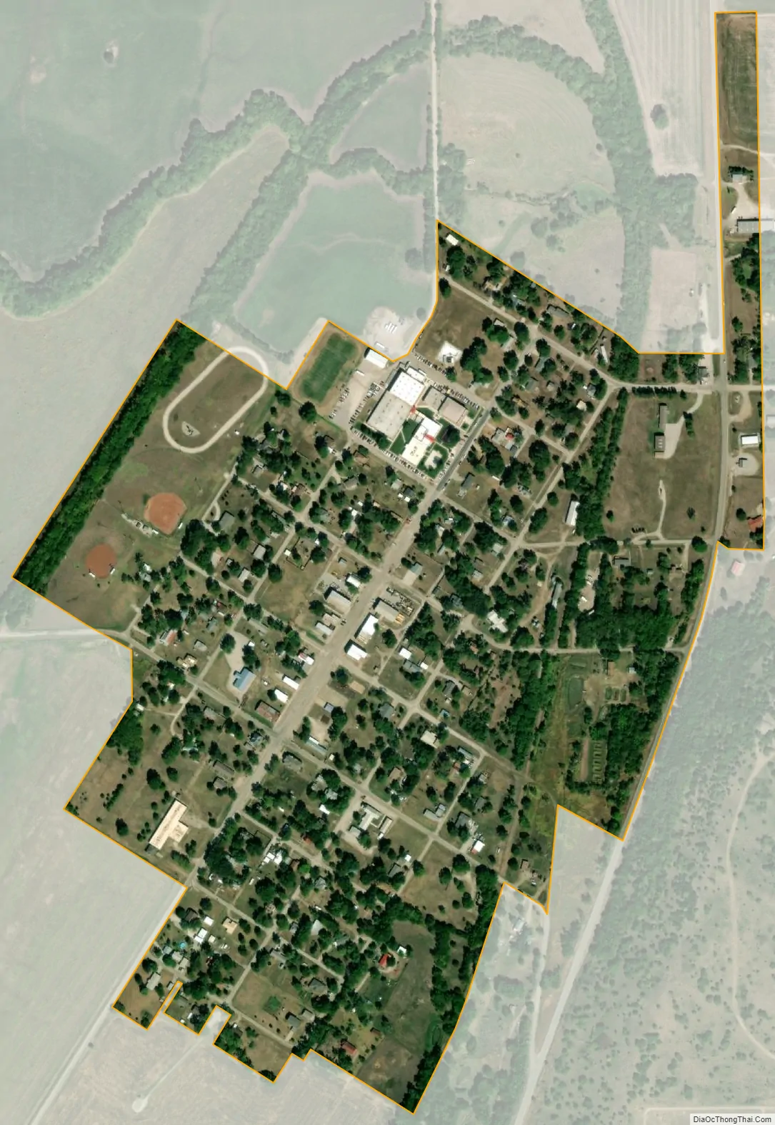
Dexter city Satellite Map
Geography
Dexter is located at 37°10′46″N 96°42′58″W / 37.179373°N 96.715987°W / 37.179373; -96.715987 (37.179373, -96.715987). According to the United States Census Bureau, the city has a total area of 0.29 square miles (0.75 km), all of it land.
Climate
The climate in this area is characterized by hot, humid summers and generally mild to cool winters. According to the Köppen Climate Classification system, Dexter has a humid subtropical climate, abbreviated “Cfa” on climate maps.
See also
Map of Kansas State and its subdivision:- Allen
- Anderson
- Atchison
- Barber
- Barton
- Bourbon
- Brown
- Butler
- Chase
- Chautauqua
- Cherokee
- Cheyenne
- Clark
- Clay
- Cloud
- Coffey
- Comanche
- Cowley
- Crawford
- Decatur
- Dickinson
- Doniphan
- Douglas
- Edwards
- Elk
- Ellis
- Ellsworth
- Finney
- Ford
- Franklin
- Geary
- Gove
- Graham
- Grant
- Gray
- Greeley
- Greenwood
- Hamilton
- Harper
- Harvey
- Haskell
- Hodgeman
- Jackson
- Jefferson
- Jewell
- Johnson
- Kearny
- Kingman
- Kiowa
- Labette
- Lane
- Leavenworth
- Lincoln
- Linn
- Logan
- Lyon
- Marion
- Marshall
- McPherson
- Meade
- Miami
- Mitchell
- Montgomery
- Morris
- Morton
- Nemaha
- Neosho
- Ness
- Norton
- Osage
- Osborne
- Ottawa
- Pawnee
- Phillips
- Pottawatomie
- Pratt
- Rawlins
- Reno
- Republic
- Rice
- Riley
- Rooks
- Rush
- Russell
- Saline
- Scott
- Sedgwick
- Seward
- Shawnee
- Sheridan
- Sherman
- Smith
- Stafford
- Stanton
- Stevens
- Sumner
- Thomas
- Trego
- Wabaunsee
- Wallace
- Washington
- Wichita
- Wilson
- Woodson
- Wyandotte
- Alabama
- Alaska
- Arizona
- Arkansas
- California
- Colorado
- Connecticut
- Delaware
- District of Columbia
- Florida
- Georgia
- Hawaii
- Idaho
- Illinois
- Indiana
- Iowa
- Kansas
- Kentucky
- Louisiana
- Maine
- Maryland
- Massachusetts
- Michigan
- Minnesota
- Mississippi
- Missouri
- Montana
- Nebraska
- Nevada
- New Hampshire
- New Jersey
- New Mexico
- New York
- North Carolina
- North Dakota
- Ohio
- Oklahoma
- Oregon
- Pennsylvania
- Rhode Island
- South Carolina
- South Dakota
- Tennessee
- Texas
- Utah
- Vermont
- Virginia
- Washington
- West Virginia
- Wisconsin
- Wyoming