Fontana is a city in south central Miami County, Kansas, United States, and is part of the Kansas City metropolitan area. As of the 2020 census, the population of the city was 210. The name Fontana comes from the French word fontaine, meaning fountain or a spring-like water source. It was given to the small city from a spring near the town site. Fontana’s history as a community dates back to the early 19th century, however incorporation did not occur until 1889.
| Name: | Fontana city |
|---|---|
| LSAD Code: | 25 |
| LSAD Description: | city (suffix) |
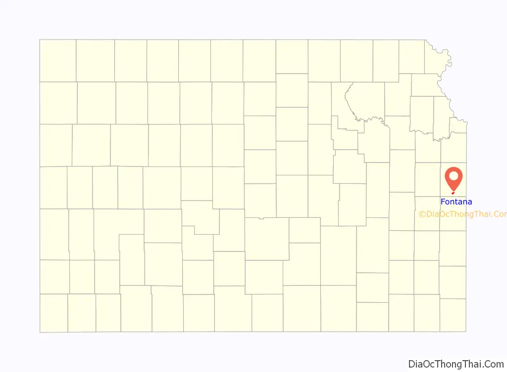
| State: | Kansas |
| County: | Miami County |
| Incorporated: | 1889 |
| Elevation: | 896 ft (273 m) |
| Total Area: | 0.84 sq mi (2.17 km²) |
| Land Area: | 0.84 sq mi (2.17 km²) |
| Water Area: | 0.00 sq mi (0.01 km²) |
| Total Population: | 210 |
| Population Density: | 250/sq mi (97/km²) |
| ZIP code: | 66026 |
| Area code: | 913 |
| FIPS code: | 2023650 |
Online Interactive Map
Click on ![]() to view map in "full screen" mode.
to view map in "full screen" mode.
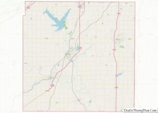
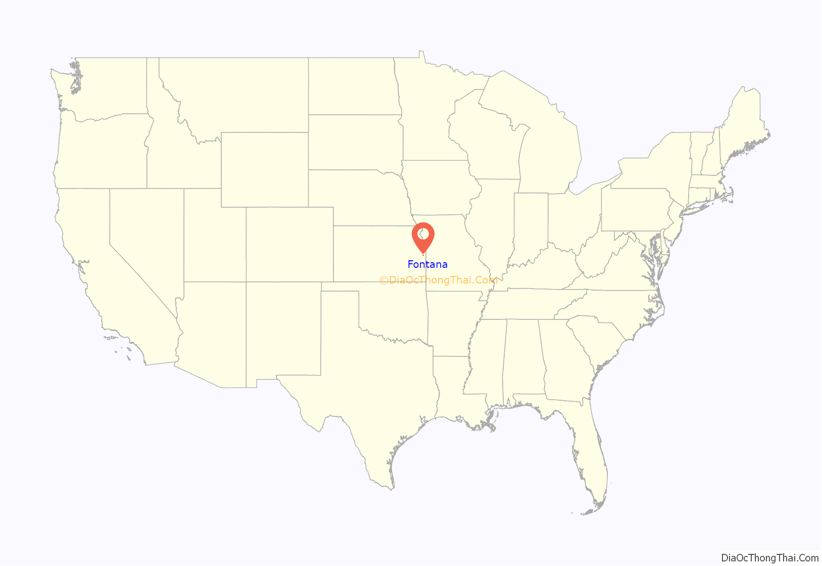
Fontana location map. Where is Fontana city?
History
Captain David Martin, a veteran of the War of 1812 received a land grant for 160 acres (0.65 km) in Lykins County, Kansas (Miami County, Kansas) due to an 1855 congressional act. Part of this property would eventually become the townsite and rural community of Fontana. J.B. Grinnell purchased 120 acres (0.49 km) of the property in 1869, and put Fontana in the center near a railroad right of way. The city was incorporated in 1889.
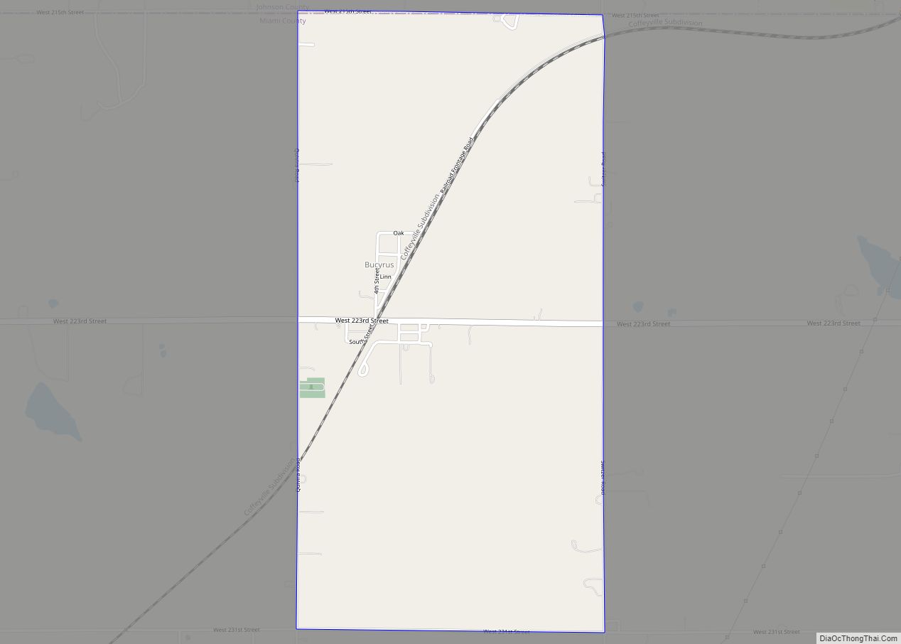
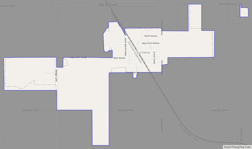
Fontana Road Map
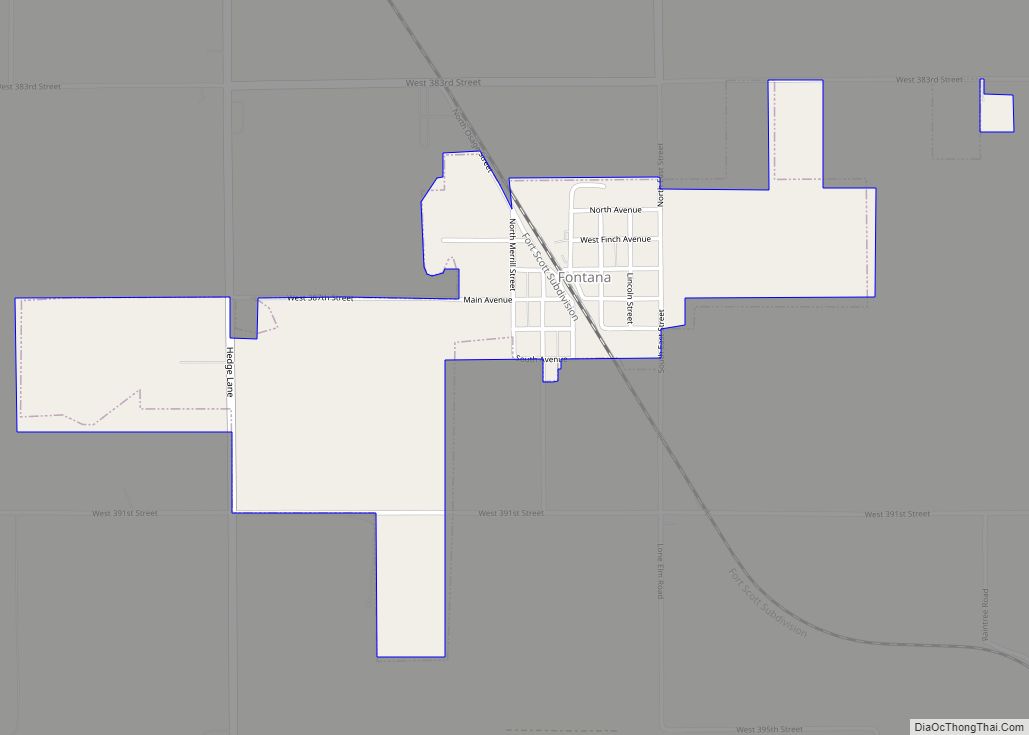
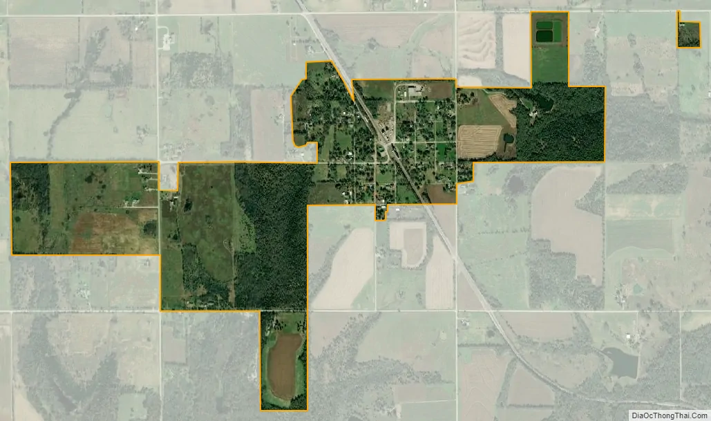
Fontana city Satellite Map
Geography
Fontana has a total area of 0.84 square miles (2.18 km), all of it land.
See also
Map of Kansas State and its subdivision:- Allen
- Anderson
- Atchison
- Barber
- Barton
- Bourbon
- Brown
- Butler
- Chase
- Chautauqua
- Cherokee
- Cheyenne
- Clark
- Clay
- Cloud
- Coffey
- Comanche
- Cowley
- Crawford
- Decatur
- Dickinson
- Doniphan
- Douglas
- Edwards
- Elk
- Ellis
- Ellsworth
- Finney
- Ford
- Franklin
- Geary
- Gove
- Graham
- Grant
- Gray
- Greeley
- Greenwood
- Hamilton
- Harper
- Harvey
- Haskell
- Hodgeman
- Jackson
- Jefferson
- Jewell
- Johnson
- Kearny
- Kingman
- Kiowa
- Labette
- Lane
- Leavenworth
- Lincoln
- Linn
- Logan
- Lyon
- Marion
- Marshall
- McPherson
- Meade
- Miami
- Mitchell
- Montgomery
- Morris
- Morton
- Nemaha
- Neosho
- Ness
- Norton
- Osage
- Osborne
- Ottawa
- Pawnee
- Phillips
- Pottawatomie
- Pratt
- Rawlins
- Reno
- Republic
- Rice
- Riley
- Rooks
- Rush
- Russell
- Saline
- Scott
- Sedgwick
- Seward
- Shawnee
- Sheridan
- Sherman
- Smith
- Stafford
- Stanton
- Stevens
- Sumner
- Thomas
- Trego
- Wabaunsee
- Wallace
- Washington
- Wichita
- Wilson
- Woodson
- Wyandotte
- Alabama
- Alaska
- Arizona
- Arkansas
- California
- Colorado
- Connecticut
- Delaware
- District of Columbia
- Florida
- Georgia
- Hawaii
- Idaho
- Illinois
- Indiana
- Iowa
- Kansas
- Kentucky
- Louisiana
- Maine
- Maryland
- Massachusetts
- Michigan
- Minnesota
- Mississippi
- Missouri
- Montana
- Nebraska
- Nevada
- New Hampshire
- New Jersey
- New Mexico
- New York
- North Carolina
- North Dakota
- Ohio
- Oklahoma
- Oregon
- Pennsylvania
- Rhode Island
- South Carolina
- South Dakota
- Tennessee
- Texas
- Utah
- Vermont
- Virginia
- Washington
- West Virginia
- Wisconsin
- Wyoming