Geuda Springs is a city in Cowley and Sumner counties in the U.S. state of Kansas. As of the 2020 census, the population of the city was 158.
| Name: | Geuda Springs city |
|---|---|
| LSAD Code: | 25 |
| LSAD Description: | city (suffix) |
| State: | Kansas |
| County: | Cowley County, Sumner County |
| Founded: | 1870s |
| Incorporated: | 1884 |
| Elevation: | 1,112 ft (339 m) |
| Total Area: | 0.34 sq mi (0.88 km²) |
| Land Area: | 0.34 sq mi (0.88 km²) |
| Water Area: | 0.00 sq mi (0.00 km²) |
| Total Population: | 158 |
| Population Density: | 460/sq mi (180/km²) |
| ZIP code: | 67051 |
| Area code: | 620 |
| FIPS code: | 2026200 |
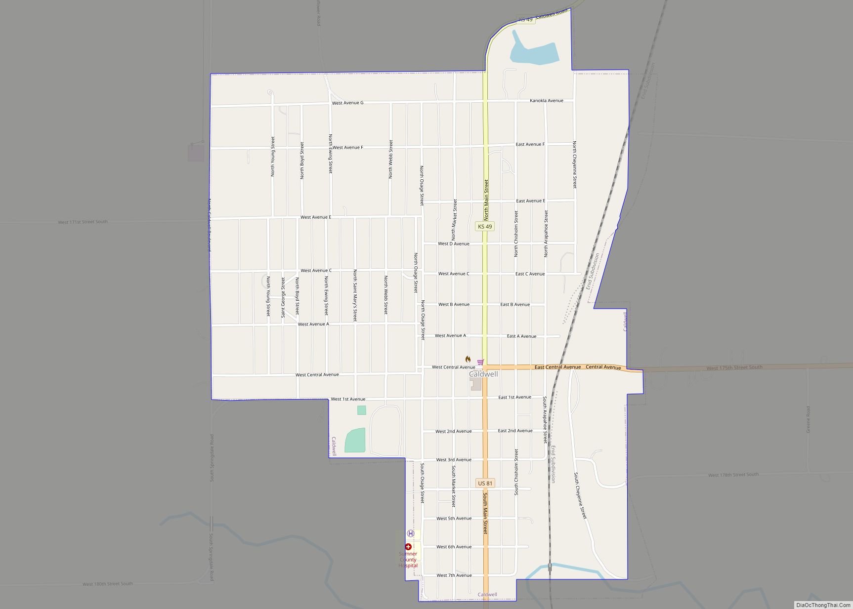
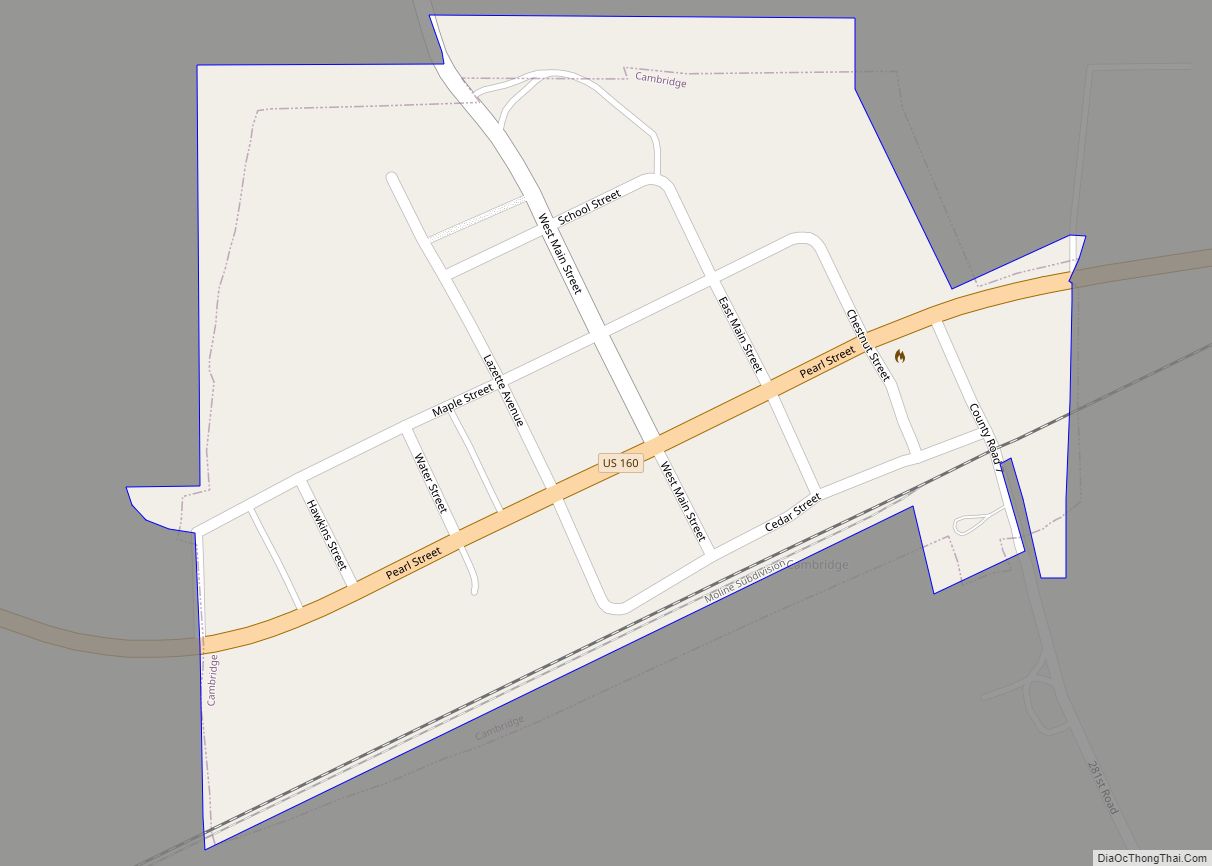
Online Interactive Map
Click on ![]() to view map in "full screen" mode.
to view map in "full screen" mode.
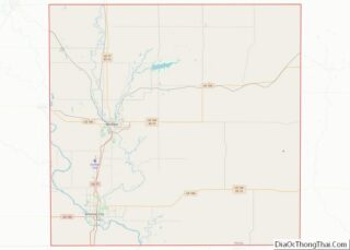
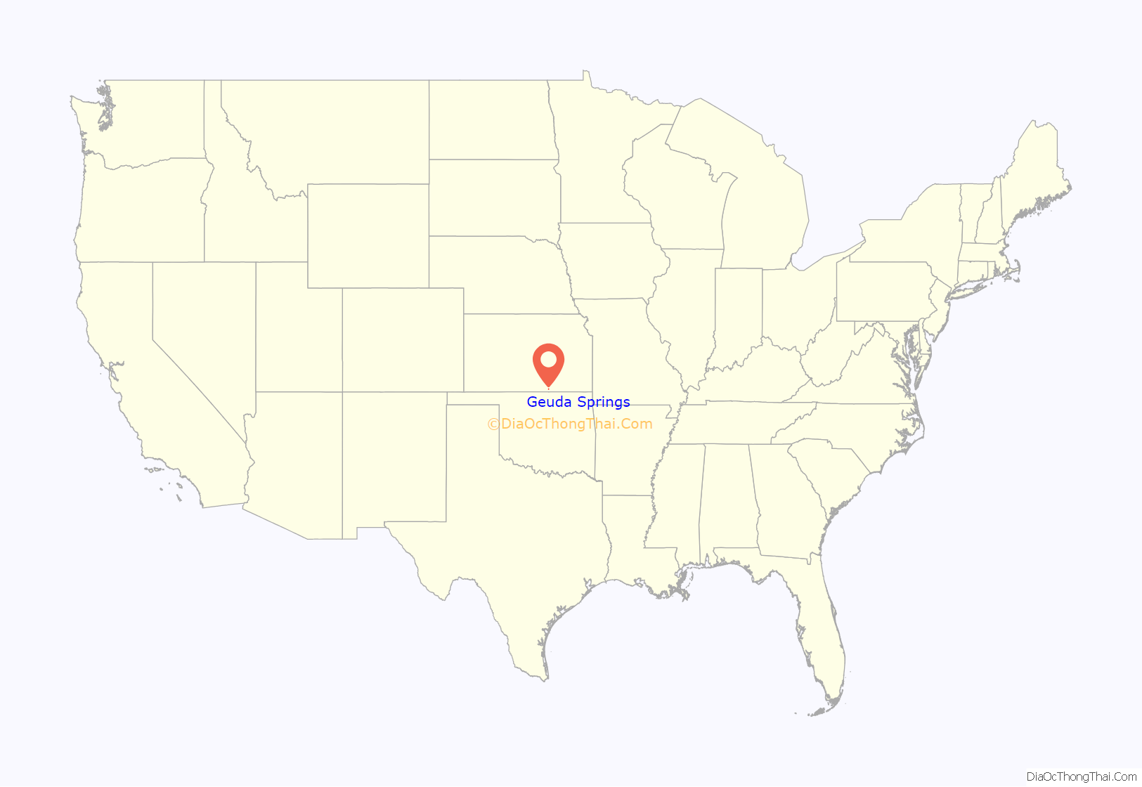
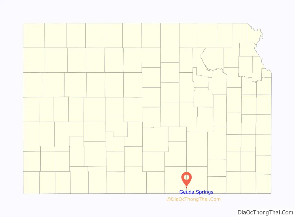
Geuda Springs location map. Where is Geuda Springs city?
History
On the line between Cowley and Sumner counties is a remarkable group of salt springs that put out 100 to 450 gallons each per hour and have been known since the earliest settlement of that region. These springs are on a branch of the St. Louis & San Francisco railroad, a little to the north of the town of Geuda Springs and about 7 miles (11 km) from Arkansas City. The waters from these springs infiltrate the waters of the nearby creeks. A lake formed by the creek near these springs has been greatly enlarged by damming the creek and now covers about 50 acres (200,000 m), making it the largest body of salt water in the state. Geuda is said to be an Indian word, Ge-u-da, meaning healing springs, and the place must have been a well known stopping place with the Indians. Many improvements were made at the springs during the late 1880s, including a bath-house and hotel, lake improvements, and new automobile access. Much of the water has been bottled and shipped to points in Kansas and adjoining states. About 1890, a dam with a flume outlet was built across the salt marsh just north of the springs, which filled the marsh with water and created a lake large enough for recreational boating.
Later in the 1900s, the population of Geuda Springs slowly declined. During the 1950s, Geuda Springs had a bar which featured slot machines, dancing and music. A volunteer fire department exists to protect the town and the surrounding area but primary fire protection is provided by Arkansas City. In the 1990s, a new community center was built for the residents. It is surrounded by homes over 80 years of age and an old church building. Geuda Springs has a cemetery to the northwest of town with tombstones dating to the 1870s. One notable gunfighter Luke Short, died in Geuda Springs in 1893 of congestive heart failure.
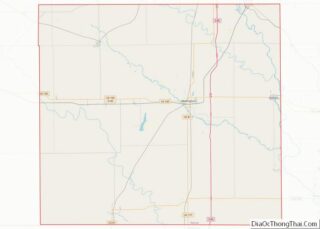
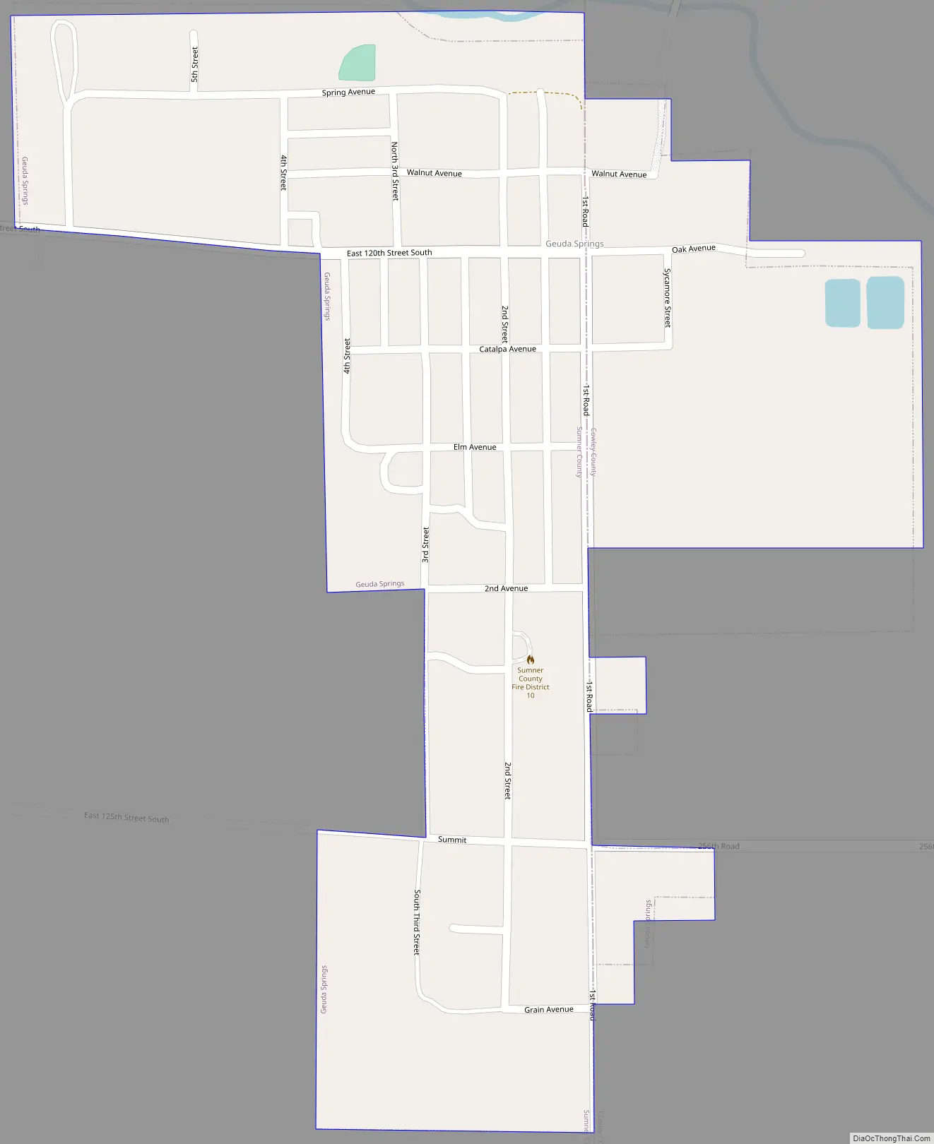
Geuda Springs Road Map
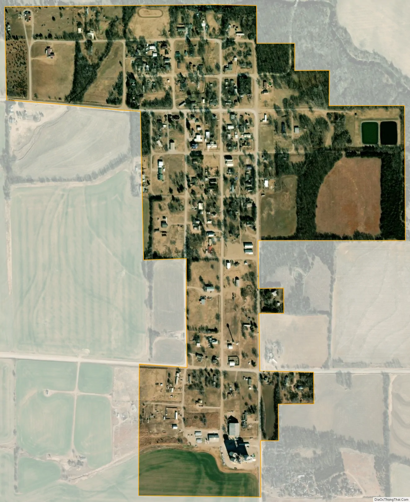
Geuda Springs city Satellite Map
Geography
Geuda Springs is located at 37°6′44″N 97°9′3″W / 37.11222°N 97.15083°W / 37.11222; -97.15083 (37.112264, -97.150870). According to the United States Census Bureau, the city has a total area of 0.35 square miles (0.91 km), all of it land.
See also
Map of Kansas State and its subdivision:- Allen
- Anderson
- Atchison
- Barber
- Barton
- Bourbon
- Brown
- Butler
- Chase
- Chautauqua
- Cherokee
- Cheyenne
- Clark
- Clay
- Cloud
- Coffey
- Comanche
- Cowley
- Crawford
- Decatur
- Dickinson
- Doniphan
- Douglas
- Edwards
- Elk
- Ellis
- Ellsworth
- Finney
- Ford
- Franklin
- Geary
- Gove
- Graham
- Grant
- Gray
- Greeley
- Greenwood
- Hamilton
- Harper
- Harvey
- Haskell
- Hodgeman
- Jackson
- Jefferson
- Jewell
- Johnson
- Kearny
- Kingman
- Kiowa
- Labette
- Lane
- Leavenworth
- Lincoln
- Linn
- Logan
- Lyon
- Marion
- Marshall
- McPherson
- Meade
- Miami
- Mitchell
- Montgomery
- Morris
- Morton
- Nemaha
- Neosho
- Ness
- Norton
- Osage
- Osborne
- Ottawa
- Pawnee
- Phillips
- Pottawatomie
- Pratt
- Rawlins
- Reno
- Republic
- Rice
- Riley
- Rooks
- Rush
- Russell
- Saline
- Scott
- Sedgwick
- Seward
- Shawnee
- Sheridan
- Sherman
- Smith
- Stafford
- Stanton
- Stevens
- Sumner
- Thomas
- Trego
- Wabaunsee
- Wallace
- Washington
- Wichita
- Wilson
- Woodson
- Wyandotte
- Alabama
- Alaska
- Arizona
- Arkansas
- California
- Colorado
- Connecticut
- Delaware
- District of Columbia
- Florida
- Georgia
- Hawaii
- Idaho
- Illinois
- Indiana
- Iowa
- Kansas
- Kentucky
- Louisiana
- Maine
- Maryland
- Massachusetts
- Michigan
- Minnesota
- Mississippi
- Missouri
- Montana
- Nebraska
- Nevada
- New Hampshire
- New Jersey
- New Mexico
- New York
- North Carolina
- North Dakota
- Ohio
- Oklahoma
- Oregon
- Pennsylvania
- Rhode Island
- South Carolina
- South Dakota
- Tennessee
- Texas
- Utah
- Vermont
- Virginia
- Washington
- West Virginia
- Wisconsin
- Wyoming