Greeley is a city in Anderson County, Kansas, United States. As of the 2020 census, the population of the city was 273.
| Name: | Greeley city |
|---|---|
| LSAD Code: | 25 |
| LSAD Description: | city (suffix) |
| State: | Kansas |
| County: | Anderson County |
| Founded: | 1854 |
| Incorporated: | 1881 |
| Elevation: | 896 ft (273 m) |
| Total Area: | 0.35 sq mi (0.91 km²) |
| Land Area: | 0.34 sq mi (0.89 km²) |
| Water Area: | 0.01 sq mi (0.02 km²) |
| Total Population: | 273 |
| Population Density: | 780/sq mi (300/km²) |
| ZIP code: | 66033 |
| Area code: | 785 |
| FIPS code: | 2028350 |
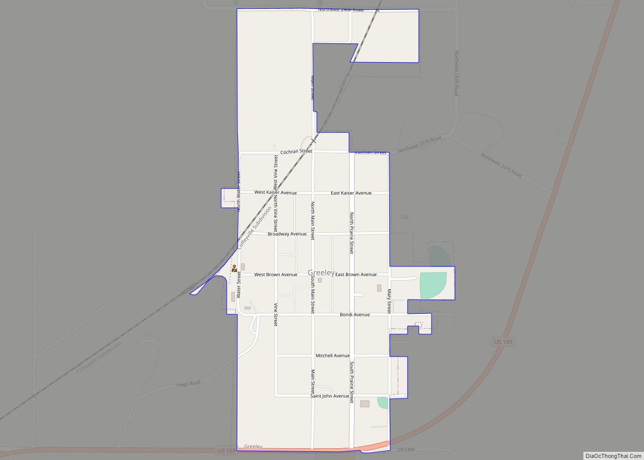
Online Interactive Map
Click on ![]() to view map in "full screen" mode.
to view map in "full screen" mode.
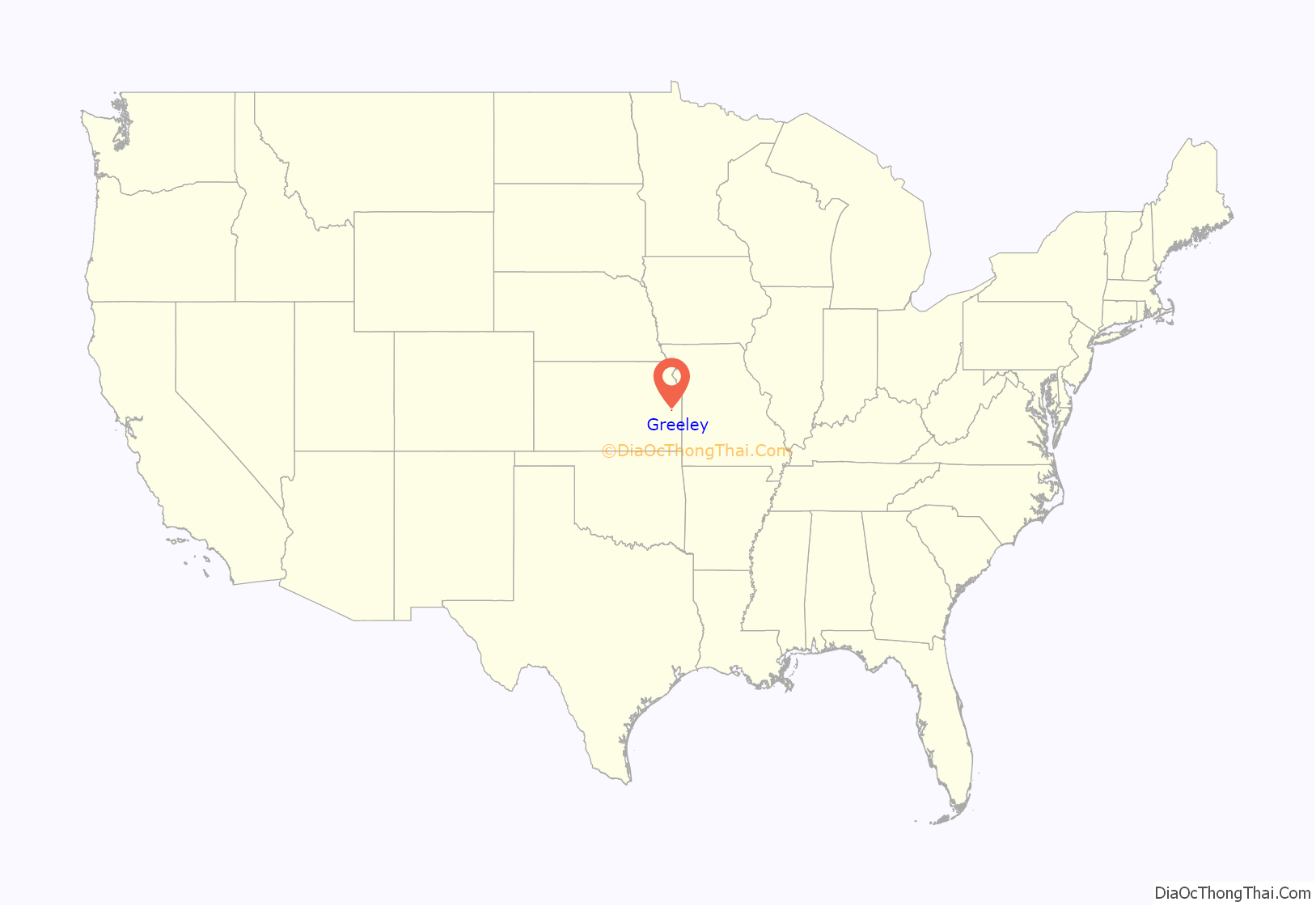
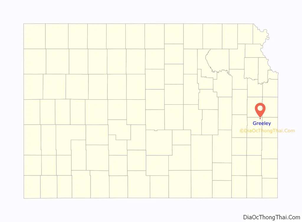
Greeley location map. Where is Greeley city?
History
Early history
Nomadic Native Americans, perhaps the Wichita as early as the 1400s and the Osage by the 1700s, would have been present in the area for many centuries. The Trail of Death relocated the Potawatomie to the area in 1838, and they had established subsistence farming at what would become Greeley prior to the arrival of European-Americans.
The first European-American settlement at Greeley was made in May 1854 by Valentine Gerth and Francis Myer. Though the town of Greeley had not yet been established, Myer’s cabin served as Anderson County’s temporary county seat from August 1855 through the county’s first Territorial District Court session in April 1856. At that time the county seat moved to its first “permanent” location at what would become the town of Shannon.
Greeley was laid out in December 1856 by several Free Staters and named for Horace Greeley. Likely unique among American frontier towns, the three officers of the original Greeley Town Company were all Ashkenazi Jews: August Bondi, Jacob Benjamin, and Theodore Wiener (sometimes misspelled Weiner, or even Weimar in later texts).
The post office was established in May 1857, though not without some controversy. Postal officials in the Buchanan Administration apparently objected to naming the office after an abolitionist newspaperman, so instead used the name of Buchannan-appointed Territorial Governor Robert J. Walker. The office was called Walker until it relocated to the competing town of Mount Gilead, Kansas in May 1861. The postal name Greeley was not used until April 1866 when the Mount Gilead townsite failed and the post office returned to its original location.
The St. Louis, Kansas and Arizona Railway (a division of the Missouri Pacific) reached Greeley in 1879, and today operates as part of the Union Pacific Railroad.
Greeley was incorporated as a city in 1881.
20th century
In 1901 Arizona cattle baron Colin Cameron established his midwestern operations just east of Greeley. Cameron’s Fields of Lochiel ranch served as the finishing operation for his San Rafael Ranch Herefords prior to sale in Kansas City, Missouri.
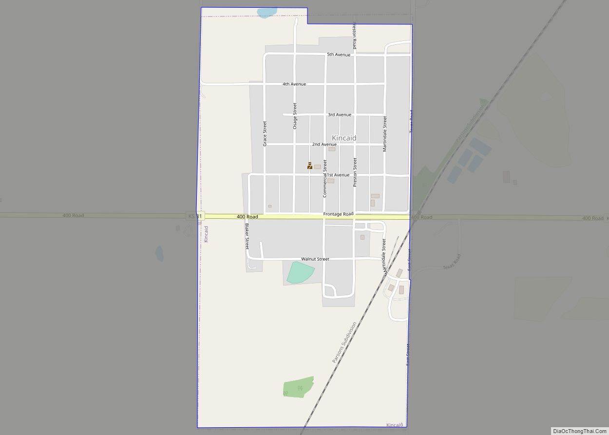
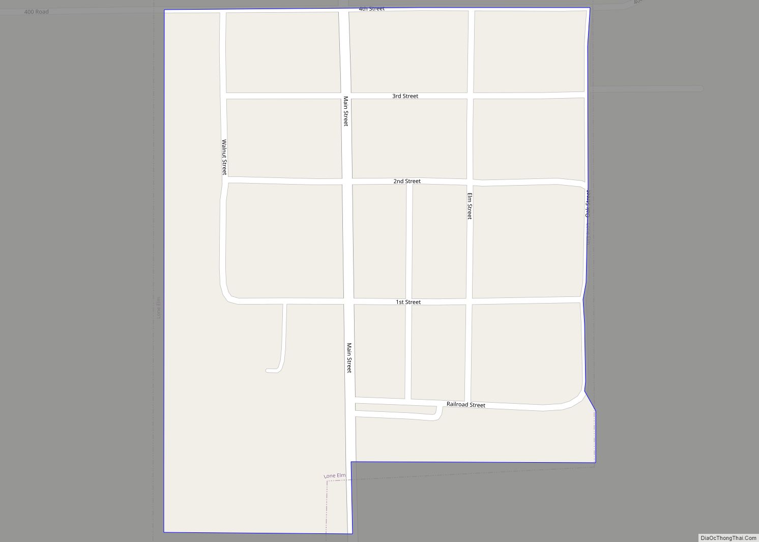
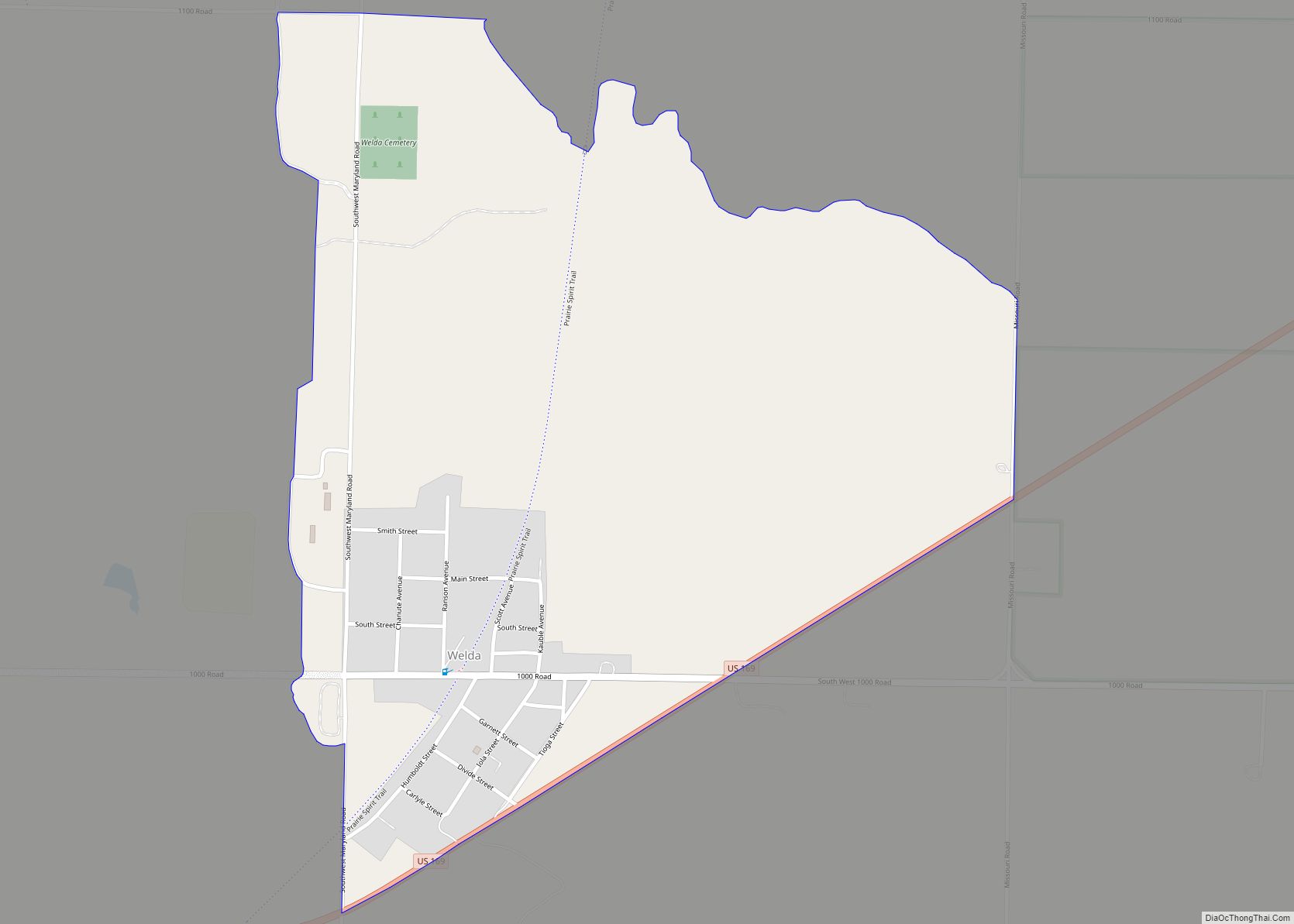
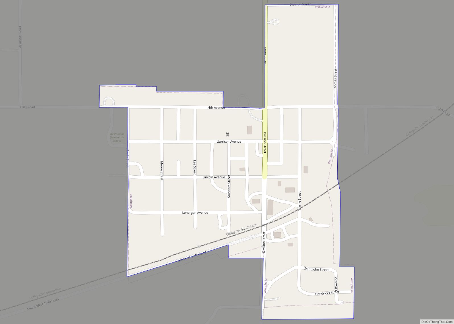
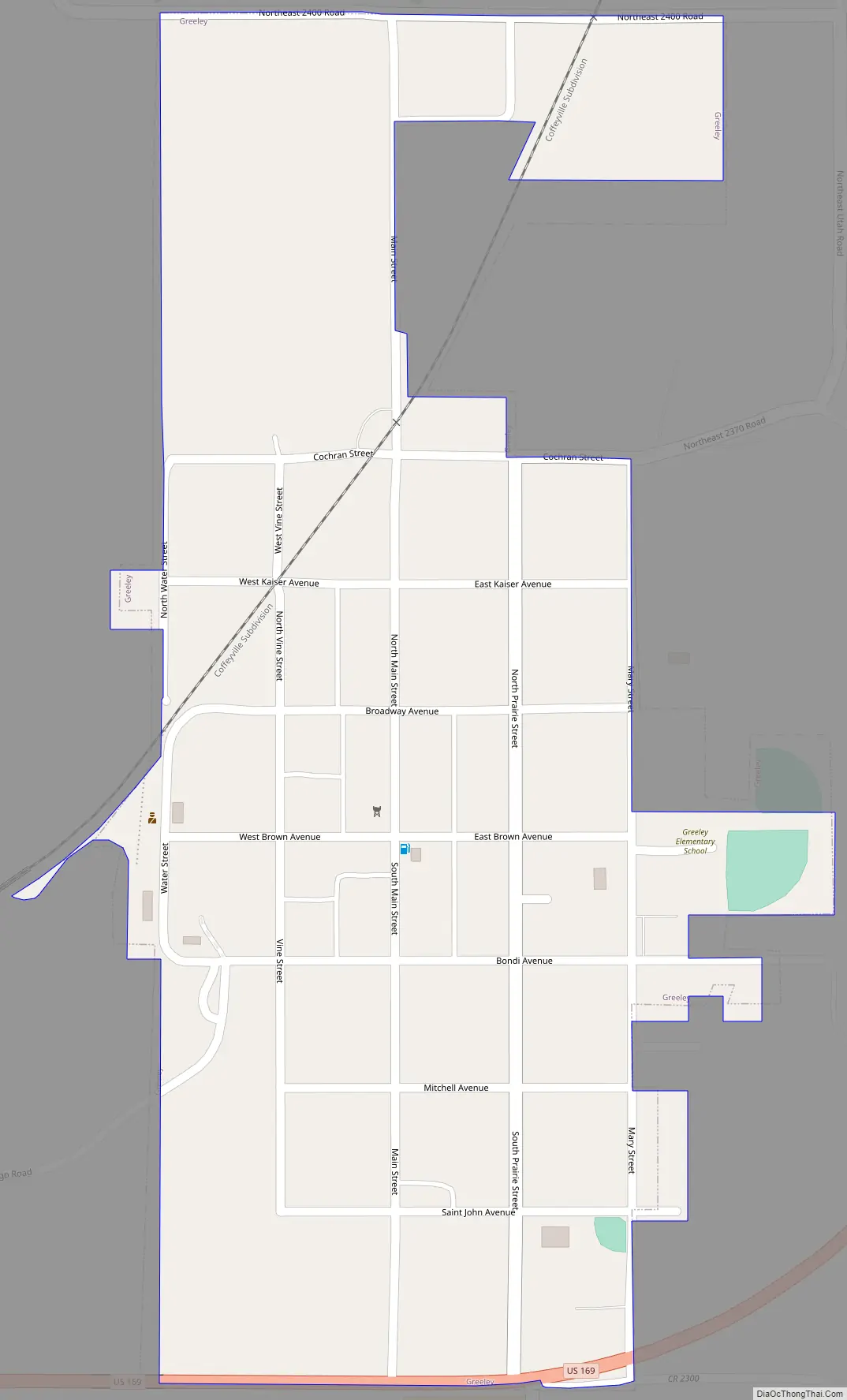
Greeley Road Map
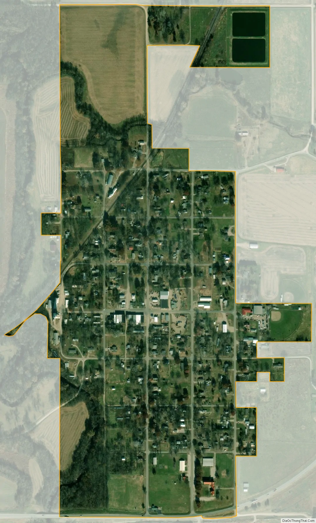
Greeley city Satellite Map
Geography
Greeley is located in the Pottawatomie Valley near the confluence of the North Fork and South Fork of Pottawatomie Creek.
According to the United States Census Bureau, the city has a total area of 0.37 square miles (0.96 km), of which, 0.36 square miles (0.93 km) is land and 0.01 square miles (0.03 km) is water.
Street names
Several of Greeley’s east–west streets are named for Free Staters who were Jayhawkers or were involved in Territorial government during the Bleeding Kansas era.
- Cochran Street – Named for Benjamin L. Cochran, a town founder who had been involved in the Wakarusa War, the Battle of Black Jack, and was a member of the Pottawatomie Rifles.
- Kaiser Avenue – Named for Charles Kaiser, a Bavarian immigrant who was seriously wounded in the Battle of Osawatomie, taken prisoner, and assassinated by his Border Ruffian captors near Olathe, Kansas.
- Brown Avenue – Greeley’s primary commercial street, named for John Brown.
- Bondi Avenue – Named for August Bondi, a town founder who fought in the Battle of Black Jack and was a member of the Pottawatomie Rifles.
- Mitchell Avenue – Named for Robert B. Mitchell, who represented Linn County in the Territorial Legislature and was a delegate to the Leavenworth constitutional convention.
Climate
The climate in this area is characterized by hot, humid summers and generally mild to cool winters. According to the Köppen Climate Classification system, Greeley has a humid subtropical climate, abbreviated “Cfa” on climate maps.
See also
Map of Kansas State and its subdivision:- Allen
- Anderson
- Atchison
- Barber
- Barton
- Bourbon
- Brown
- Butler
- Chase
- Chautauqua
- Cherokee
- Cheyenne
- Clark
- Clay
- Cloud
- Coffey
- Comanche
- Cowley
- Crawford
- Decatur
- Dickinson
- Doniphan
- Douglas
- Edwards
- Elk
- Ellis
- Ellsworth
- Finney
- Ford
- Franklin
- Geary
- Gove
- Graham
- Grant
- Gray
- Greeley
- Greenwood
- Hamilton
- Harper
- Harvey
- Haskell
- Hodgeman
- Jackson
- Jefferson
- Jewell
- Johnson
- Kearny
- Kingman
- Kiowa
- Labette
- Lane
- Leavenworth
- Lincoln
- Linn
- Logan
- Lyon
- Marion
- Marshall
- McPherson
- Meade
- Miami
- Mitchell
- Montgomery
- Morris
- Morton
- Nemaha
- Neosho
- Ness
- Norton
- Osage
- Osborne
- Ottawa
- Pawnee
- Phillips
- Pottawatomie
- Pratt
- Rawlins
- Reno
- Republic
- Rice
- Riley
- Rooks
- Rush
- Russell
- Saline
- Scott
- Sedgwick
- Seward
- Shawnee
- Sheridan
- Sherman
- Smith
- Stafford
- Stanton
- Stevens
- Sumner
- Thomas
- Trego
- Wabaunsee
- Wallace
- Washington
- Wichita
- Wilson
- Woodson
- Wyandotte
- Alabama
- Alaska
- Arizona
- Arkansas
- California
- Colorado
- Connecticut
- Delaware
- District of Columbia
- Florida
- Georgia
- Hawaii
- Idaho
- Illinois
- Indiana
- Iowa
- Kansas
- Kentucky
- Louisiana
- Maine
- Maryland
- Massachusetts
- Michigan
- Minnesota
- Mississippi
- Missouri
- Montana
- Nebraska
- Nevada
- New Hampshire
- New Jersey
- New Mexico
- New York
- North Carolina
- North Dakota
- Ohio
- Oklahoma
- Oregon
- Pennsylvania
- Rhode Island
- South Carolina
- South Dakota
- Tennessee
- Texas
- Utah
- Vermont
- Virginia
- Washington
- West Virginia
- Wisconsin
- Wyoming