Olathe (/oʊˈleɪθə/ oh-LAY-tha) is the county seat of Johnson County, Kansas, United States. It is the fourth-most populous city in both the Kansas City metropolitan area and the state of Kansas, with a 2020 population of 141,290.
| Name: | Olathe city |
|---|---|
| LSAD Code: | 25 |
| LSAD Description: | city (suffix) |
| State: | Kansas |
| County: | Johnson County |
| Founded: | 1857 |
| Incorporated: | 1857, 1868 |
| Elevation: | 1,037 ft (316 m) |
| Total Area: | 62.39 sq mi (161.57 km²) |
| Land Area: | 61.63 sq mi (159.62 km²) |
| Water Area: | 0.76 sq mi (1.96 km²) 1.26% |
| Total Population: | 141,290 |
| Population Density: | 2,300/sq mi (870/km²) |
| ZIP code: | 66051,66061,66062,66063 |
| Area code: | 913 |
| FIPS code: | 2052575 |
| Website: | olatheks.org |
Online Interactive Map
Click on ![]() to view map in "full screen" mode.
to view map in "full screen" mode.
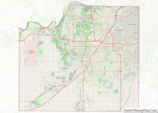
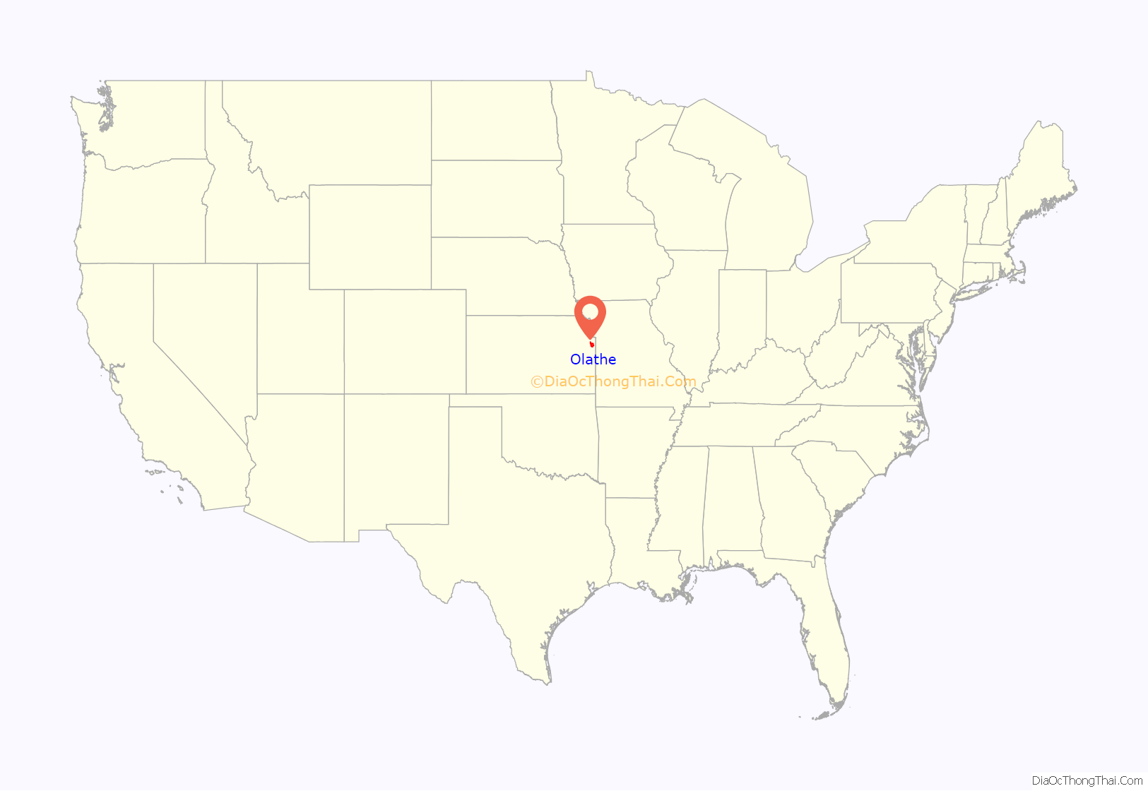
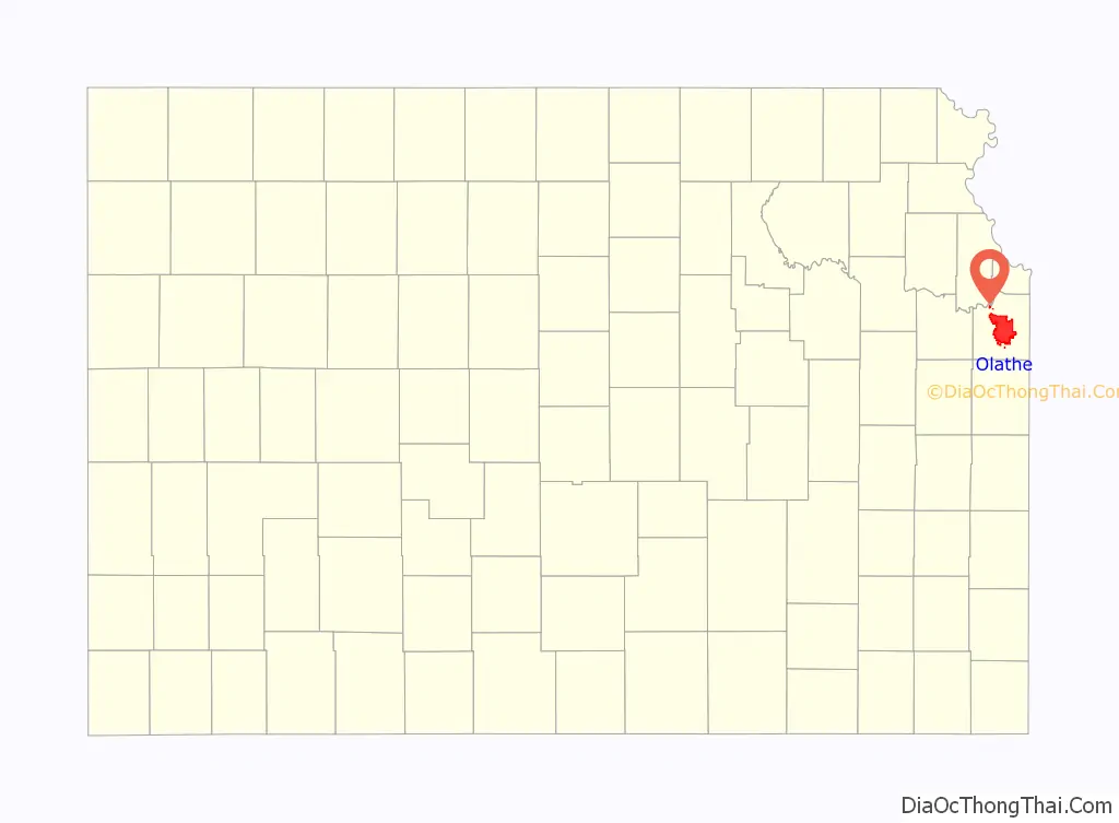
Olathe location map. Where is Olathe city?
History
19th century
Olathe was founded by John T. Barton in the spring of 1857. He rode to the center of Johnson County, and staked two quarter sections of land as the town site. He later described his ride to friends: “…the prairie was covered with verbena and other wild flowers. I kept thinking the land was beautiful and that I should name the town Beautiful.” Purportedly, Barton asked a Shawnee interpreter how to say “Beautiful” in his native language. The interpreter responded, “Olathe.”
Olathe was incorporated in 1857, and while not the first city in Johnson County, its rapid growth led to it being named the county seat in October 1859. Rising tensions across the nation over the issue of slavery led to numerous clashes between abolitionist settlers and neighboring slave state Missouri. These clashes further escalated and become a part of the greater conflict known as Bleeding Kansas. With the admission of Kansas into the Union as a free state in 1861, violence began to dissipate. Peace continued to elude Olathe for many years to come, however. In 1861, Union officials and local military forces created a military post in the city. It housed one company of troops along with the local militia.
On September 6, 1862, William Quantrill led a surprise raid of guerrilla Confederates against the city, which resulted in a half dozen deaths and the destruction of most of the city. Quantrill captured the outpost and tried forcing the men to swear an oath to the Confederacy. The oath was deemed invalid in November 1862, since the guerrillas were not considered legitimate enemy military units. Kansas militia continued to occupy the Olathe military post through the rest of the Civil War.
Confederate forces attempted two further raids against the city. The first happened on August 20–21, 1863, as Quantrill was passing through on his way to Lawrence, Kansas (see Lawrence Massacre). The second raid occurred October 24–5, 1864, when Confederate Major General Sterling Price, with a force of 10,000 men, passed through on their retreat south (see Price’s Raid). With the Confederate surrender, the military post was decommissioned in August 1865.
Olathe served as a stop on the Oregon Trail, the California Trail, and the Santa Fe Trail. Catering to travelers was the main source of income for local stores and businesses. The Mahaffie House, a popular resupply point for wagons headed westward, is today a registered historical site maintained by the City of Olathe. The staff wears period costumes, and stagecoach rides and farm animals make the site a favorite among children. Visitors can participate in Civil War re-enactments, Wild West Days, and other activities.
After the construction of the transcontinental railroad, the trails to the west lost importance, and Olathe faded into obscurity and remained a small, sleepy prairie town.
20th century
In the 1950s, the construction of the interstate highway system and, more directly, Interstate 35, linked Olathe to nearby Kansas City, Missouri. The result was tremendous residential growth as Olathe became a part of the Kansas City metropolitan area. In the 1980s, Olathe experienced tremendous commercial growth, which also drew more residents. Olathe’s population is estimated to have surpassed 100,000 in 2001, and later projections showed Olathe’s growth continuing as the city expanded into the farm fields south, west, and north of town.
21st century
In 2008, the U.S. Census Bureau ranked Olathe the 24th-fastest growing city in the nation. The same year, CNN and Money ranked Olathe number 11 on its list of the “100 Best Cities to Live in the United States.”
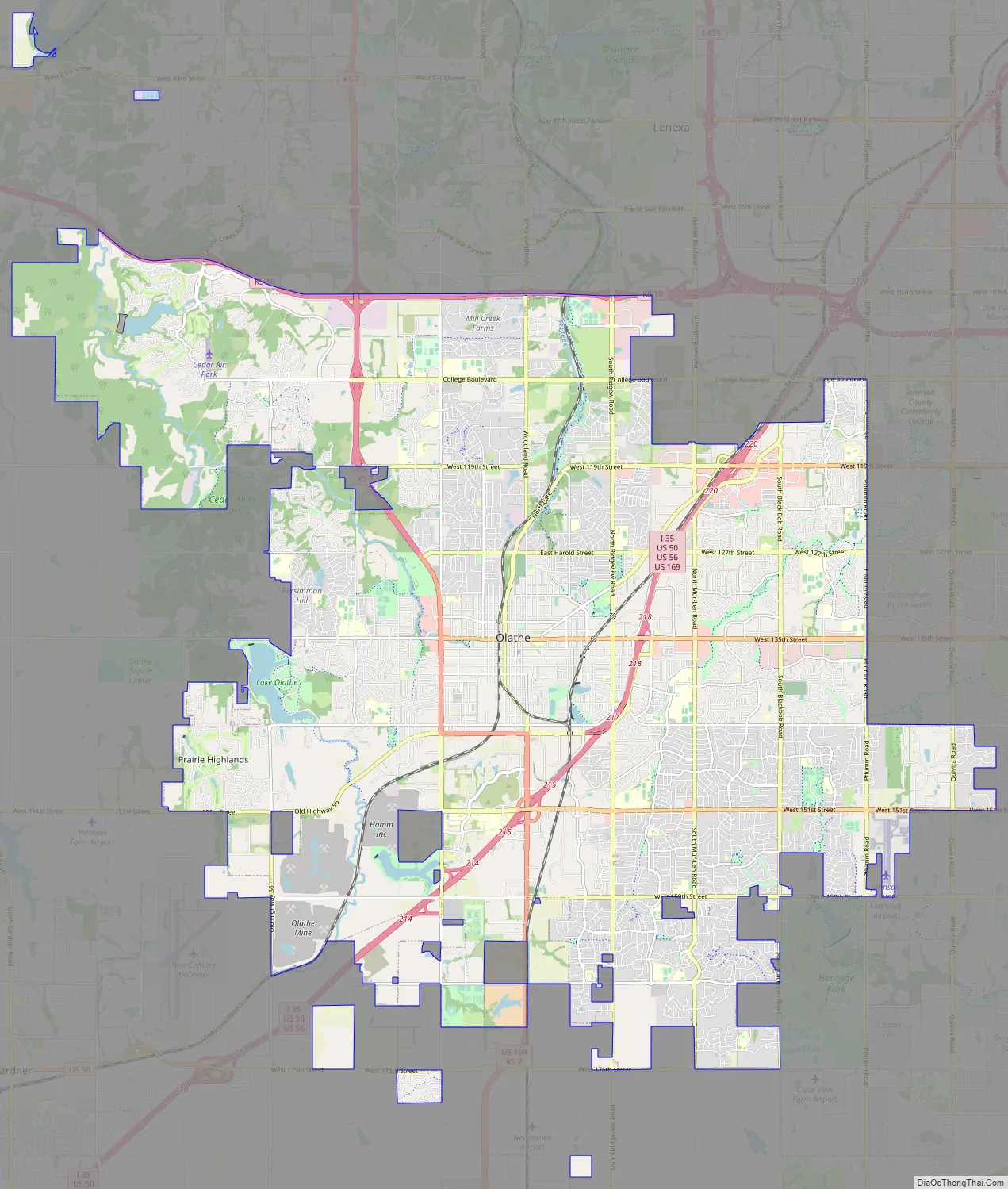
Olathe Road Map
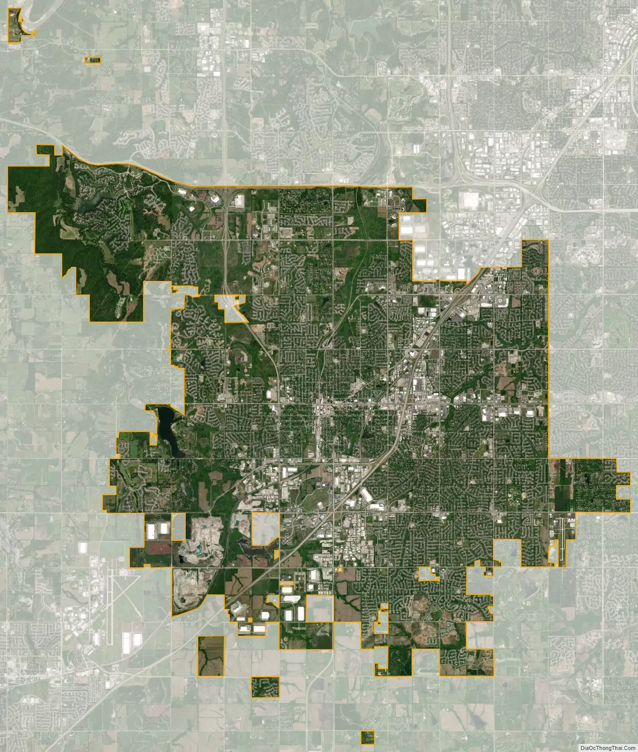
Olathe city Satellite Map
Geography
Olathe is bordered by the cities of Lenexa to the north, Overland Park to the east, De Soto to the northwest, and Gardner to the southwest.
According to the United States Census Bureau, the city has a total area of 60.42 square miles (156.49 km) of which 59.66 square miles (154.52 km) are land and 0.76 square miles (1.97 km) is covered by water. Olathe has two public lakes: Lake Olathe with 172 acres (0.70 km) of water surface and Cedar Lake with 45 acres (0.18 km).
Olathe’s Black Bob Park is named after Hathawekela Shawnee Chief Black Bob.
Climate
Olathe has a humid continental climate, with cold winters and hot summers. Temperatures range from an average high of 39 °F (4 °C) and low 20 °F (−7 °C) in January to an average high of nearly 90 °F (32 °C) in July. The temperature reaches 90 °F (32 °C) an average of 36 days per year and 100 °F (38 °C) an average of 3 days per year. The minimum temperature falls below freezing (32 °F) an average of 102 days per year, but rarely drops below 10 °F (−12 °C). Typically, the first frost occurs between mid-October and the first week of November, and the last frost occurs between the end of March and the second week of April.
The area receives about 40 inches (1,000 mm) of precipitation during an average year, with the largest share being received in May and June—the April–June period averages 30 days of measurable precipitation. During a typical year, the total amount of precipitation may be 28 to almost 53 inches. On average, 95 days of measurable precipitation occur per year. Winter snowfall averages about 19 inches, but the median is 13 inches (330 mm). Measurable snowfall occurs an average of 9 days per year, with at least an inch of snow being received on seven of those days. Snow depth of at least an inch occurs an average of 25 days per year.
See also
Map of Kansas State and its subdivision:- Allen
- Anderson
- Atchison
- Barber
- Barton
- Bourbon
- Brown
- Butler
- Chase
- Chautauqua
- Cherokee
- Cheyenne
- Clark
- Clay
- Cloud
- Coffey
- Comanche
- Cowley
- Crawford
- Decatur
- Dickinson
- Doniphan
- Douglas
- Edwards
- Elk
- Ellis
- Ellsworth
- Finney
- Ford
- Franklin
- Geary
- Gove
- Graham
- Grant
- Gray
- Greeley
- Greenwood
- Hamilton
- Harper
- Harvey
- Haskell
- Hodgeman
- Jackson
- Jefferson
- Jewell
- Johnson
- Kearny
- Kingman
- Kiowa
- Labette
- Lane
- Leavenworth
- Lincoln
- Linn
- Logan
- Lyon
- Marion
- Marshall
- McPherson
- Meade
- Miami
- Mitchell
- Montgomery
- Morris
- Morton
- Nemaha
- Neosho
- Ness
- Norton
- Osage
- Osborne
- Ottawa
- Pawnee
- Phillips
- Pottawatomie
- Pratt
- Rawlins
- Reno
- Republic
- Rice
- Riley
- Rooks
- Rush
- Russell
- Saline
- Scott
- Sedgwick
- Seward
- Shawnee
- Sheridan
- Sherman
- Smith
- Stafford
- Stanton
- Stevens
- Sumner
- Thomas
- Trego
- Wabaunsee
- Wallace
- Washington
- Wichita
- Wilson
- Woodson
- Wyandotte
- Alabama
- Alaska
- Arizona
- Arkansas
- California
- Colorado
- Connecticut
- Delaware
- District of Columbia
- Florida
- Georgia
- Hawaii
- Idaho
- Illinois
- Indiana
- Iowa
- Kansas
- Kentucky
- Louisiana
- Maine
- Maryland
- Massachusetts
- Michigan
- Minnesota
- Mississippi
- Missouri
- Montana
- Nebraska
- Nevada
- New Hampshire
- New Jersey
- New Mexico
- New York
- North Carolina
- North Dakota
- Ohio
- Oklahoma
- Oregon
- Pennsylvania
- Rhode Island
- South Carolina
- South Dakota
- Tennessee
- Texas
- Utah
- Vermont
- Virginia
- Washington
- West Virginia
- Wisconsin
- Wyoming