Hunnewell is a city in Sumner County, Kansas, United States. As of the 2020 census, the population of the city was 44.
| Name: | Hunnewell city |
|---|---|
| LSAD Code: | 25 |
| LSAD Description: | city (suffix) |
| State: | Kansas |
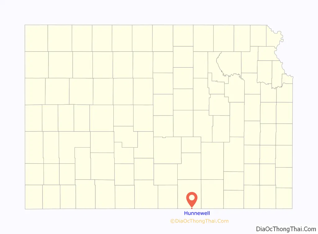
| County: | Sumner County |
| Founded: | 1880 |
| Incorporated: | 1882 |
| Elevation: | 1,112 ft (339 m) |
| Total Area: | 0.55 sq mi (1.43 km²) |
| Land Area: | 0.55 sq mi (1.43 km²) |
| Water Area: | 0.00 sq mi (0.00 km²) |
| Total Population: | 44 |
| Population Density: | 80/sq mi (31/km²) |
| ZIP code: | 67140 |
| Area code: | 620 |
| FIPS code: | 2033500 |
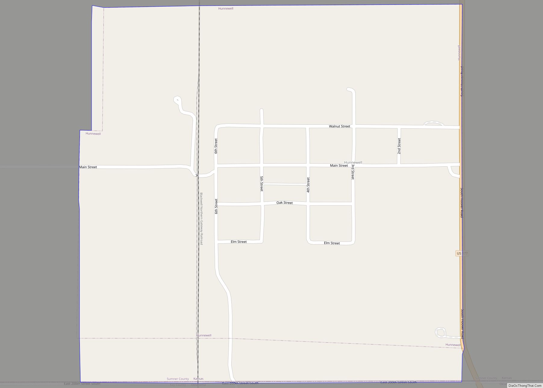
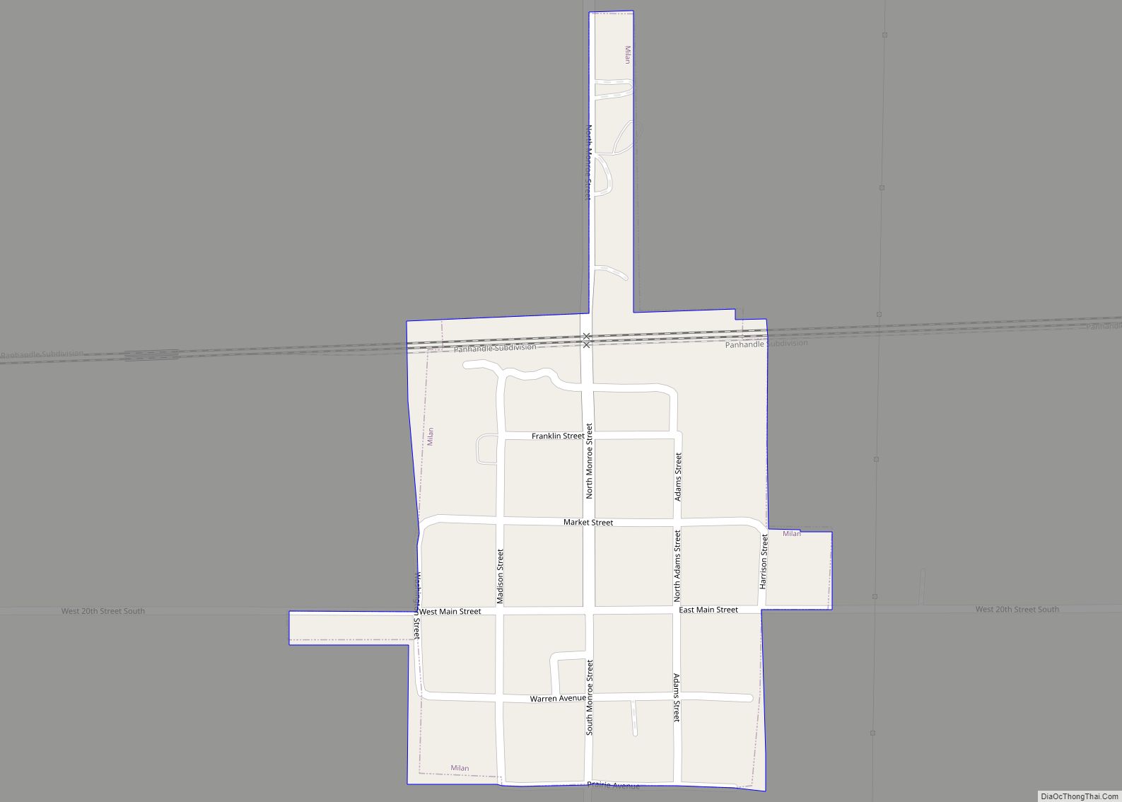
Online Interactive Map
Click on ![]() to view map in "full screen" mode.
to view map in "full screen" mode.
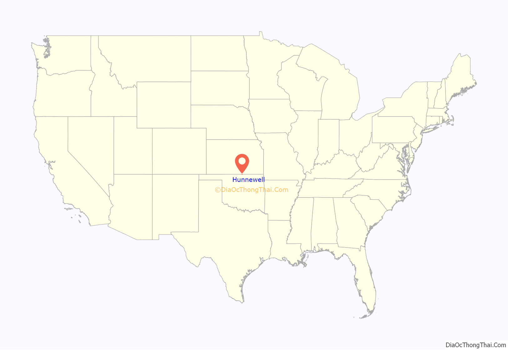
Hunnewell location map. Where is Hunnewell city?
History
Hunnewell was founded in 1880. It was named for Boston financier and railway owner H. H. Hunnewell.
Hunnewell served as a shipping point for Texas cattle, and was a prosperous cowtown during the 1880s. The Leavenworth, Lawrence and Galveston Railroad provided quick access to the Kansas City, Kansas stockyards, and the Kansas and Southeastern Railroad was built south from Hunnewell into Oklahoma in 1898. The town in its heyday had one hotel, two general stores, one barber shop, two dance halls, and eight saloons. With little more than railroad workers and cowboys, violence was common. There were no lawmen to speak of during the 1880s in or around that area, and typically cattle rustling and other crimes were dealt with by the ranchers themselves. This culminated in the Hunnewell, Kansas Gunfight, on October 5, 1884.
A post office was opened in Hunnewell in 1880, and remained in operation until it was discontinued in 1960.
The railroads have still not abandoned Hunnewell; it continues to be served by the Blackwell Northern Gateway Railroad, which runs from Blackwell, Oklahoma through Hunnewell and on to connections with the BNSF at Wellington, Kansas and (via the BNSF) with the Union Pacific.
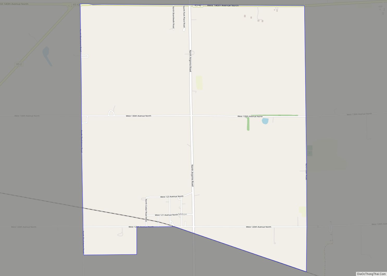
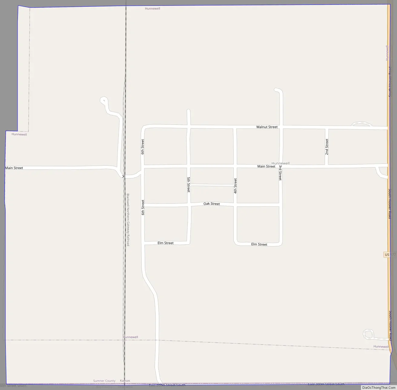
Hunnewell Road Map
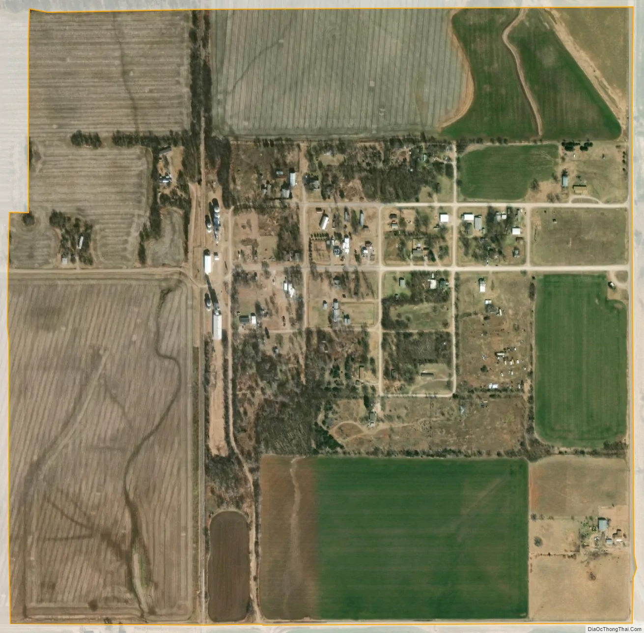
Hunnewell city Satellite Map
Geography
Hunnewell is located at 37°0′16″N 97°24′26″W / 37.00444°N 97.40722°W / 37.00444; -97.40722 (37.004497, -97.407234). According to the United States Census Bureau, the city has a total area of 0.49 square miles (1.27 km), all of it land.
See also
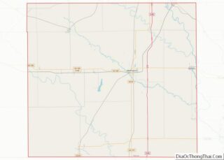
Map of Kansas State and its subdivision:- Allen
- Anderson
- Atchison
- Barber
- Barton
- Bourbon
- Brown
- Butler
- Chase
- Chautauqua
- Cherokee
- Cheyenne
- Clark
- Clay
- Cloud
- Coffey
- Comanche
- Cowley
- Crawford
- Decatur
- Dickinson
- Doniphan
- Douglas
- Edwards
- Elk
- Ellis
- Ellsworth
- Finney
- Ford
- Franklin
- Geary
- Gove
- Graham
- Grant
- Gray
- Greeley
- Greenwood
- Hamilton
- Harper
- Harvey
- Haskell
- Hodgeman
- Jackson
- Jefferson
- Jewell
- Johnson
- Kearny
- Kingman
- Kiowa
- Labette
- Lane
- Leavenworth
- Lincoln
- Linn
- Logan
- Lyon
- Marion
- Marshall
- McPherson
- Meade
- Miami
- Mitchell
- Montgomery
- Morris
- Morton
- Nemaha
- Neosho
- Ness
- Norton
- Osage
- Osborne
- Ottawa
- Pawnee
- Phillips
- Pottawatomie
- Pratt
- Rawlins
- Reno
- Republic
- Rice
- Riley
- Rooks
- Rush
- Russell
- Saline
- Scott
- Sedgwick
- Seward
- Shawnee
- Sheridan
- Sherman
- Smith
- Stafford
- Stanton
- Stevens
- Sumner
- Thomas
- Trego
- Wabaunsee
- Wallace
- Washington
- Wichita
- Wilson
- Woodson
- Wyandotte
- Alabama
- Alaska
- Arizona
- Arkansas
- California
- Colorado
- Connecticut
- Delaware
- District of Columbia
- Florida
- Georgia
- Hawaii
- Idaho
- Illinois
- Indiana
- Iowa
- Kansas
- Kentucky
- Louisiana
- Maine
- Maryland
- Massachusetts
- Michigan
- Minnesota
- Mississippi
- Missouri
- Montana
- Nebraska
- Nevada
- New Hampshire
- New Jersey
- New Mexico
- New York
- North Carolina
- North Dakota
- Ohio
- Oklahoma
- Oregon
- Pennsylvania
- Rhode Island
- South Carolina
- South Dakota
- Tennessee
- Texas
- Utah
- Vermont
- Virginia
- Washington
- West Virginia
- Wisconsin
- Wyoming