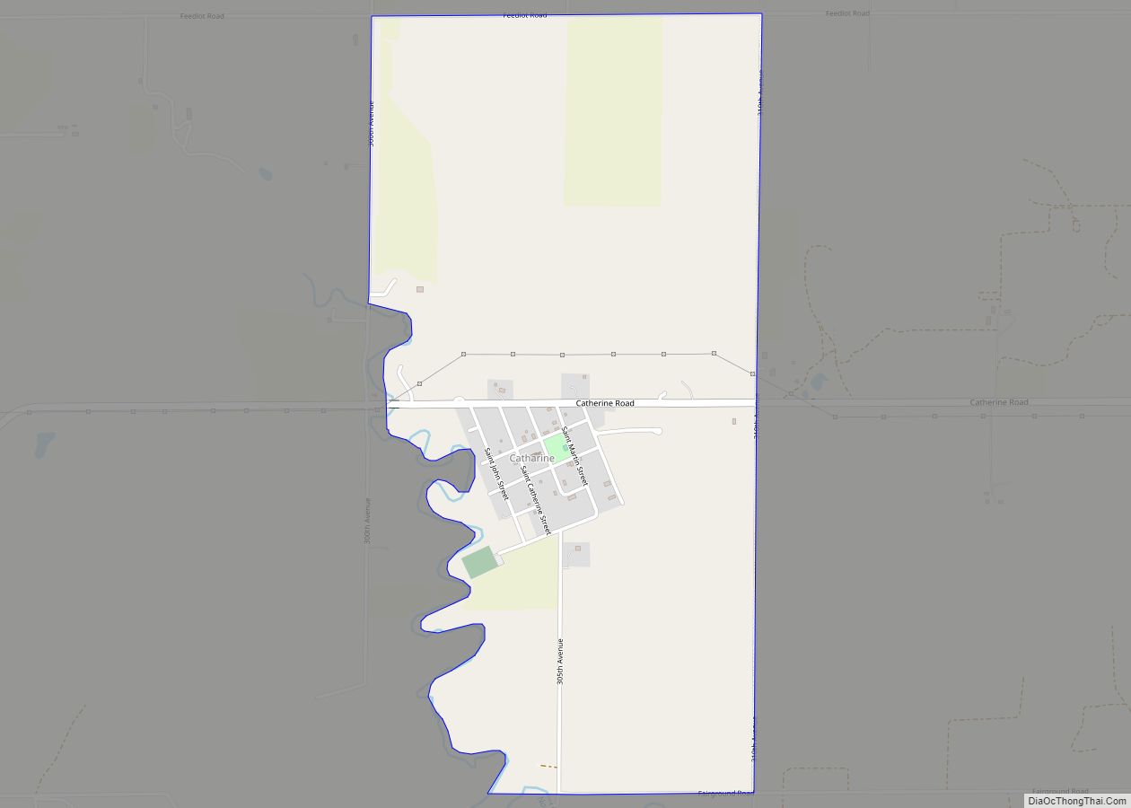
Munjor is an unincorporated community in Wheatland Township, Ellis County, Kansas, United States. As of the 2020 census, the population of the community and nearby areas was 232.
| Name: | Munjor CDP |
|---|---|
| LSAD Code: | 57 |
| LSAD Description: | CDP (suffix) |
| State: | Kansas |
| County: | Ellis County |
| Founded: | 1876 |
| Elevation: | 1,942 ft (592 m) |
| Total Area: | 2.31 sq mi (5.97 km²) |
| Land Area: | 2.31 sq mi (5.97 km²) |
| Water Area: | 0.0 sq mi (0.0 km²) |
| Total Population: | 232 |
| Population Density: | 100/sq mi (39/km²) |
| ZIP code: | 67601 |
| Area code: | 785 |
| FIPS code: | 2049200 |
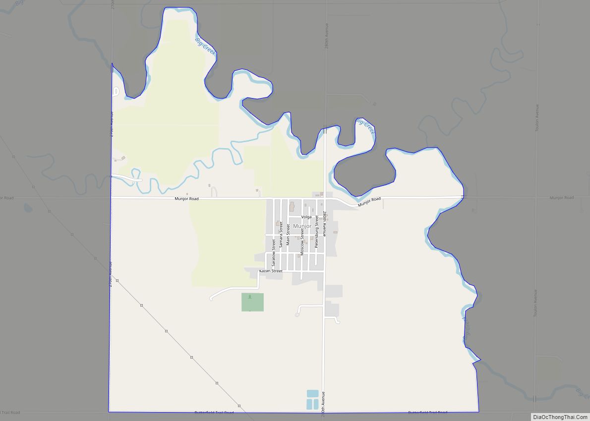
Online Interactive Map
Click on ![]() to view map in "full screen" mode.
to view map in "full screen" mode.
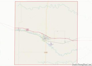
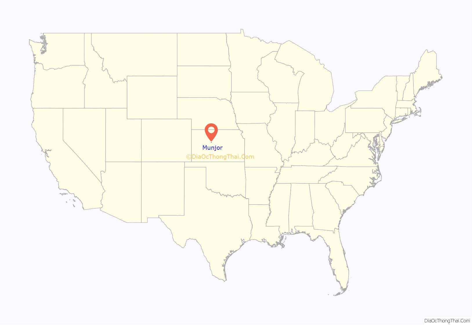
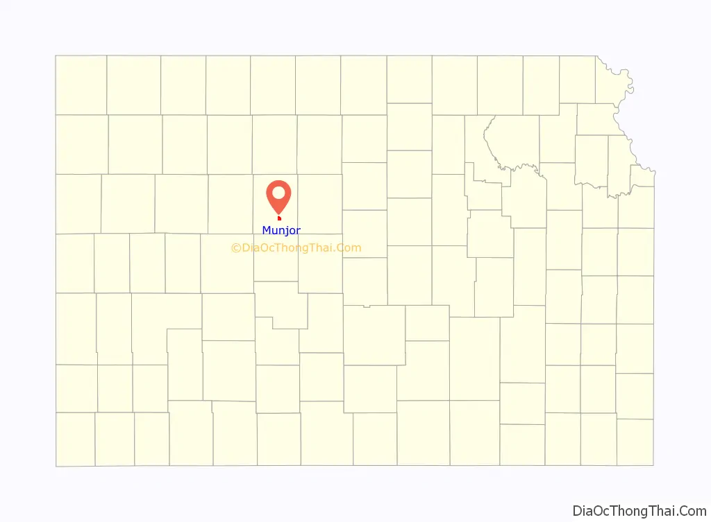
Munjor location map. Where is Munjor CDP?
History
The Munjor community was one of six settlements founded in 1876 by Volga German immigrants from Russia. Their German ancestors had immigrated to the Volga Region of Russia around 1767 at the invitation of Catherine the Great in 1763. Catherine invited the German people to Russia to develop the vast steppes and promised them land, freedom from military conscription and religious freedom. By about 1870 these privileges were at risk. Because of impending military conscription and loss of religious freedom, the communities of German settlers along the Volga River elected five men to act as scouts to inspect the prospects of life in America. Peter Leiker (of Obermonjou), Peter Stecklien (of Zug), Anton Wasinger (of Schönchen), Nicholas Schamme (of Graf), and Jacob Ritter (of Luzern) left from Obermonjou, Russia in 1874, landed in New York City and traveled westward as far as Nebraska. They found the prospects of life in America and the farmland of Nebraska favorable and returned to Russia with their report. Encouraged by the accounts of these men, a group of colonists left Russia in 1875 and landed in Baltimore on November 23, 1875. They traveled westward, spending the winter in Topeka, Kansas and then moved on to settle in Ellis County in the spring of 1876.
Other groups followed in the spring and summer months of 1876. The largest group was composed of 108 families which left from Saratov on July 8, 1876. The group divided into two parts for ocean transportation, the larger part coming on the North-German Lloyd Line, and the rest by way of the Hamburg-American Line. In this latter group were the founders of Munjor, including three of the original scouts: Peter Leiker, Anton Wasinger, and Peter Stecklein. After landing in New York August 3, they immediately headed westward traveling to Topeka and then to Herzog, Kansas, and within a few days moved to a tract of land along Big Creek and after 2 months moved to Section 25, Range 18 in Wheatland Township which is now Munjor, Kansas. Other immigrant groups arrived in Munjor in November 1876, September 1877, and July 1878.
The immigrants referred to their settlement as Obermonjou, and oftentimes had difficulty with reading and writing in English, and their German pronunciation of many words provided the only guide English speaking civil authorities had to create legal documents. It is because of these types of translation errors that Munjor had six different spellings at various times: Obermonchu, Over Mancha, Obermonjour, Over Muncha, Offermoncha and Monjor. Sometime around 1880 to 1882, the name Munjor was finally accepted by the settlers as a shortened practical version of native Obermonjou. The origins for the name of the town of Munjor go back to the German people who established villages along the Volga River in Russia around 1764 to 1768. When the Germans left their homeland to settle along the Volga River, they were divided into groups of 100 families and was given a leader. Two German speaking Frenchmen with the last name of Monjou became the leaders of two of the groups. The older, Major Otto Friedrich de Monjou, became the leader of a Catholic group which settled along the Volga, north of Saratov. The younger Monjou established a colony of Lutherans further south. Both villages were named Monjou, which caused confusion and resulted in the Russian civil authorities to name the northern colony Obermonjou and the southern colony Neidermonjou.
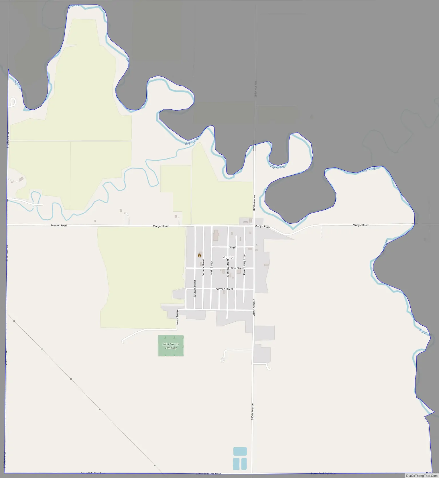
Munjor Road Map
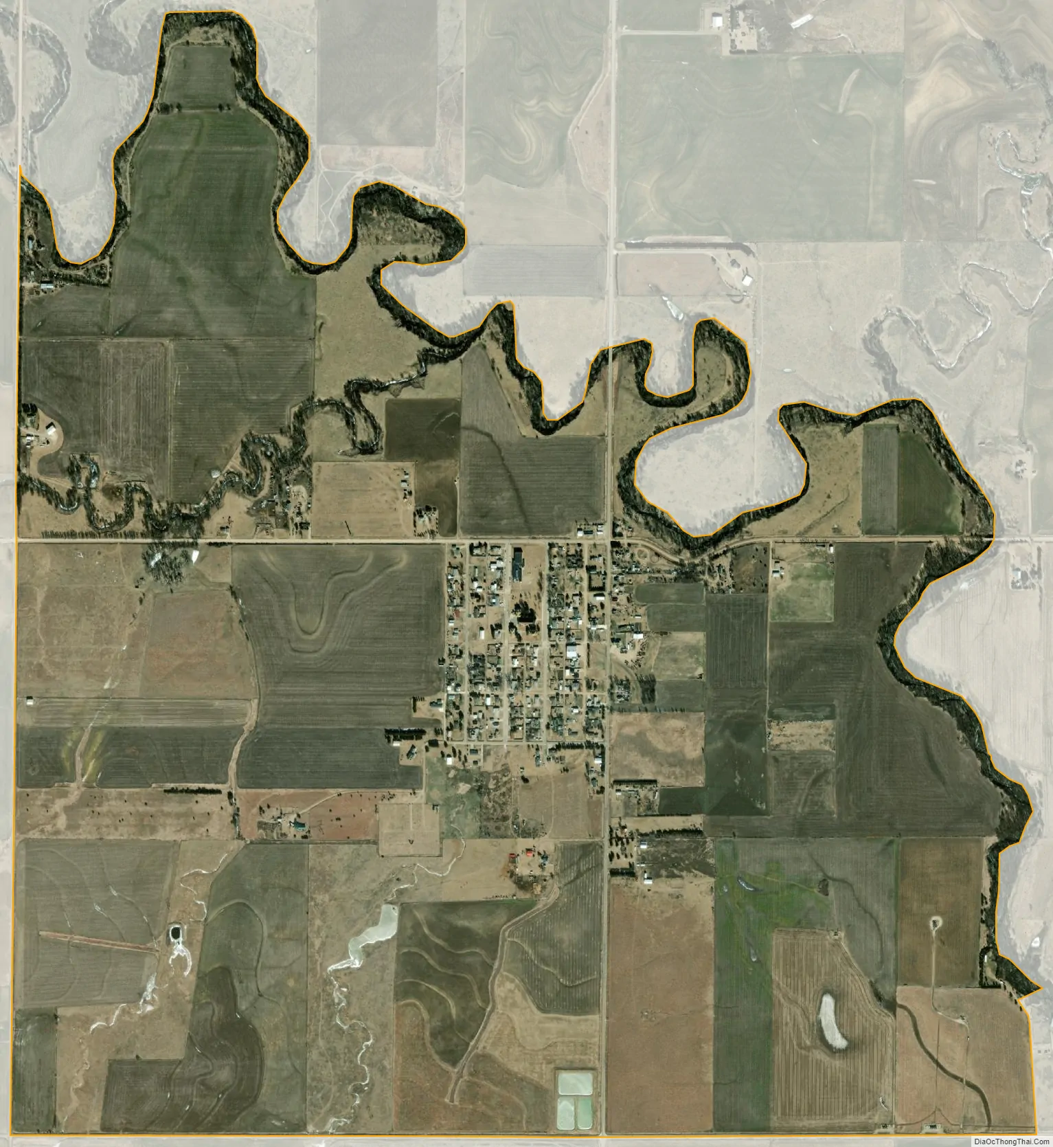
Munjor city Satellite Map
Geography
Munjor is located at 38°48′40″N 99°15′53″W / 38.81111°N 99.26472°W / 38.81111; -99.26472 (38.8111231, -99.2648236) at an elevation of 1,942 feet (592 m). It lies on the southwest side of Big Creek, a tributary of the Smoky Hill River, in the Smoky Hills region of the Great Plains. Munjor is roughly 4.5 miles (7.2 km) south of Interstate 70, 3 miles (4.8 km) east of U.S. Route 183, and 5 miles (8.0 km) southeast of Hays, the county seat.
See also
Map of Kansas State and its subdivision:- Allen
- Anderson
- Atchison
- Barber
- Barton
- Bourbon
- Brown
- Butler
- Chase
- Chautauqua
- Cherokee
- Cheyenne
- Clark
- Clay
- Cloud
- Coffey
- Comanche
- Cowley
- Crawford
- Decatur
- Dickinson
- Doniphan
- Douglas
- Edwards
- Elk
- Ellis
- Ellsworth
- Finney
- Ford
- Franklin
- Geary
- Gove
- Graham
- Grant
- Gray
- Greeley
- Greenwood
- Hamilton
- Harper
- Harvey
- Haskell
- Hodgeman
- Jackson
- Jefferson
- Jewell
- Johnson
- Kearny
- Kingman
- Kiowa
- Labette
- Lane
- Leavenworth
- Lincoln
- Linn
- Logan
- Lyon
- Marion
- Marshall
- McPherson
- Meade
- Miami
- Mitchell
- Montgomery
- Morris
- Morton
- Nemaha
- Neosho
- Ness
- Norton
- Osage
- Osborne
- Ottawa
- Pawnee
- Phillips
- Pottawatomie
- Pratt
- Rawlins
- Reno
- Republic
- Rice
- Riley
- Rooks
- Rush
- Russell
- Saline
- Scott
- Sedgwick
- Seward
- Shawnee
- Sheridan
- Sherman
- Smith
- Stafford
- Stanton
- Stevens
- Sumner
- Thomas
- Trego
- Wabaunsee
- Wallace
- Washington
- Wichita
- Wilson
- Woodson
- Wyandotte
- Alabama
- Alaska
- Arizona
- Arkansas
- California
- Colorado
- Connecticut
- Delaware
- District of Columbia
- Florida
- Georgia
- Hawaii
- Idaho
- Illinois
- Indiana
- Iowa
- Kansas
- Kentucky
- Louisiana
- Maine
- Maryland
- Massachusetts
- Michigan
- Minnesota
- Mississippi
- Missouri
- Montana
- Nebraska
- Nevada
- New Hampshire
- New Jersey
- New Mexico
- New York
- North Carolina
- North Dakota
- Ohio
- Oklahoma
- Oregon
- Pennsylvania
- Rhode Island
- South Carolina
- South Dakota
- Tennessee
- Texas
- Utah
- Vermont
- Virginia
- Washington
- West Virginia
- Wisconsin
- Wyoming