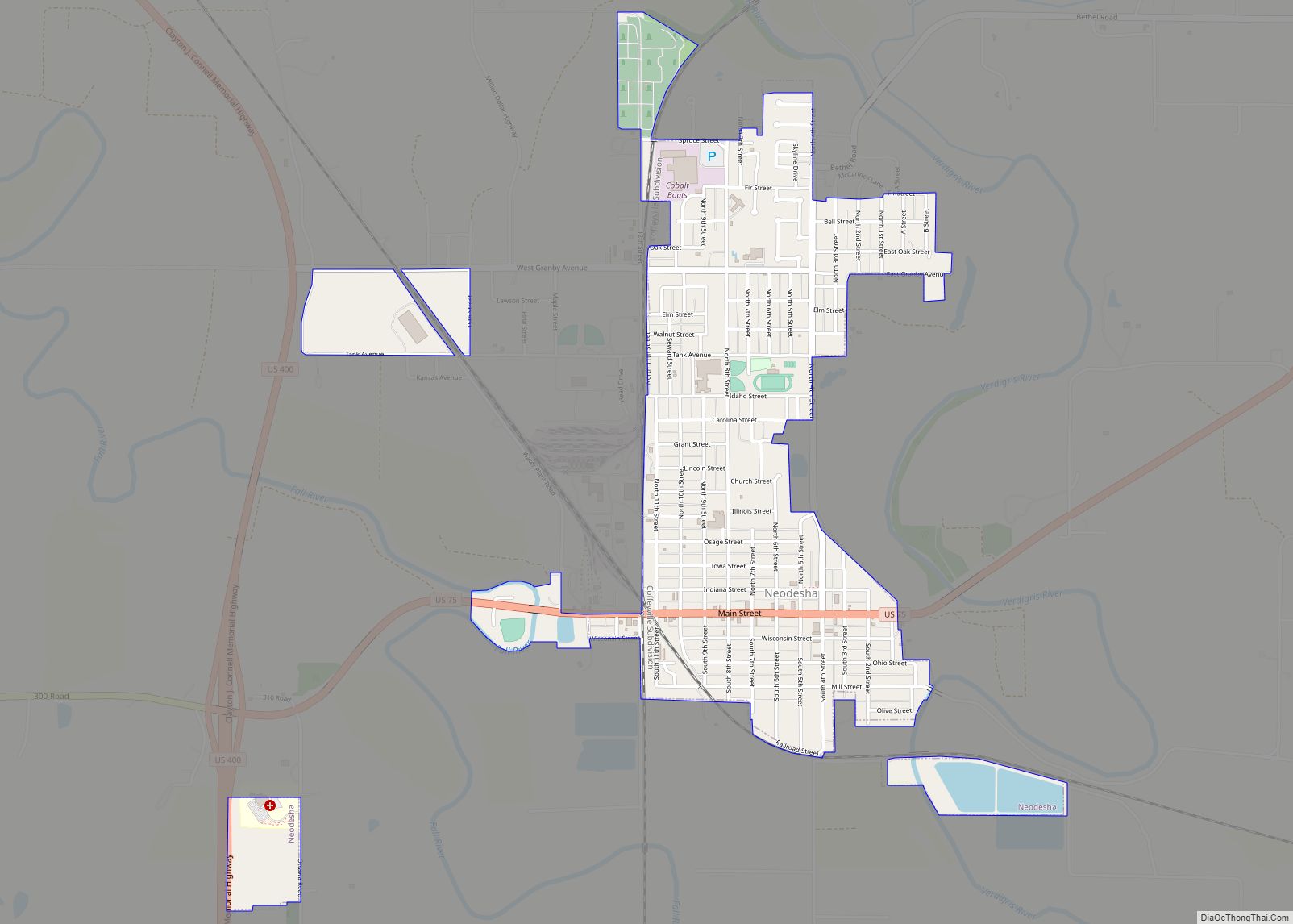
Neodesha /niːˈoʊdəʃeɪ/ is a city in Wilson County, Kansas, United States. As of the 2020 census, the population of the city was 2,275. The name is derived from the Osage Indian word, Ni-o-sho-de, and is translated as The-Water-Is-Smoky-With-Mud.
| Name: | Neodesha city |
|---|---|
| LSAD Code: | 25 |
| LSAD Description: | city (suffix) |
| State: | Kansas |
| County: | Wilson County |
| Incorporated: | 1871 |
| Elevation: | 810 ft (250 m) |
| Total Area: | 1.46 sq mi (3.78 km²) |
| Land Area: | 1.41 sq mi (3.64 km²) |
| Water Area: | 0.06 sq mi (0.14 km²) |
| Total Population: | 2,275 |
| Population Density: | 1,600/sq mi (600/km²) |
| ZIP code: | 66757 |
| Area code: | 620 |
| FIPS code: | 2049650 |
| Website: | neodesha.org |
Online Interactive Map
Click on ![]() to view map in "full screen" mode.
to view map in "full screen" mode.
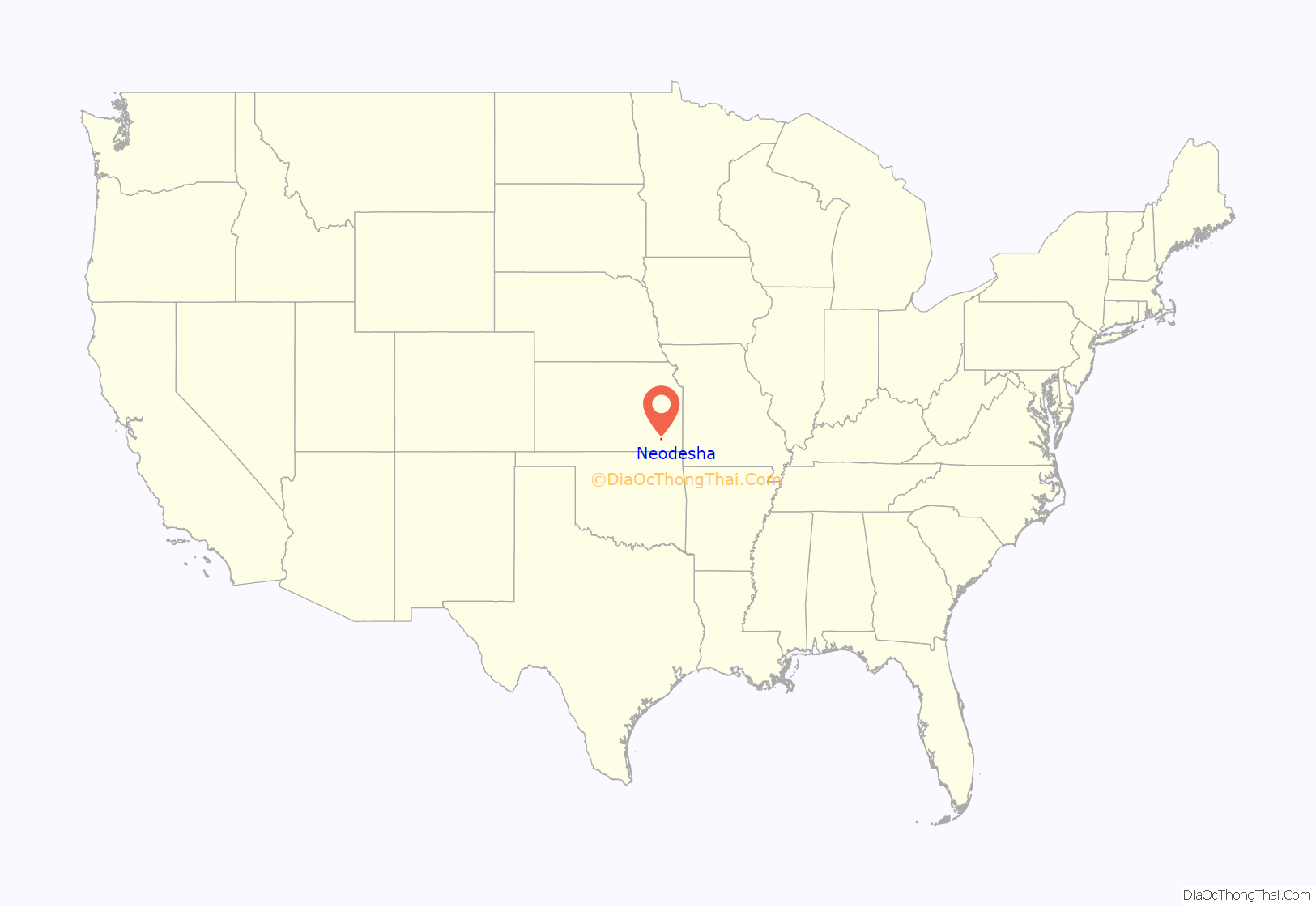
Neodesha location map. Where is Neodesha city?

History
19th century
The first settlers in the area that would eventually become Neodesha established a trading post in October 1867 to the northwest of the present town. They were allowed by the Osage Indians to establish a trading post on the Osage Diminished Reserve because the nearest trading post was over thirty miles away. After the Drum Creek Treaty had been signed by the Osage tribe in September 1870 and the tribe moved to Indian Territory; it opened the way for settlers to move to the area. Neodesha was incorporated March 2, 1871 and the original plat was filed with the U.S. Land Office in July 1871. Neodesha is an Osage name meaning “meeting of the waters”.
The first railroad was built through Neodesha in 1879.
The first commercially successful oil well drilled in what would become the Mid-Continent Oil Field was drilled in Neodesha in 1892. Norman No. 1 Oil Well was located in the southeast part of the city. The Norman No. 1 Museum is near the location of the original wellsite.
20th century
In 1943, German and Italian prisoners of World War II were brought to Kansas and other Midwest states as a means of solving the labor shortage caused by American men serving in the war effort. Large internment camps were established in Kansas: Camp Concordia, Camp Funston (at Fort Riley), Camp Phillips (at Salina under Fort Riley). Fort Riley established 12 smaller branch camps, including Neodesha.
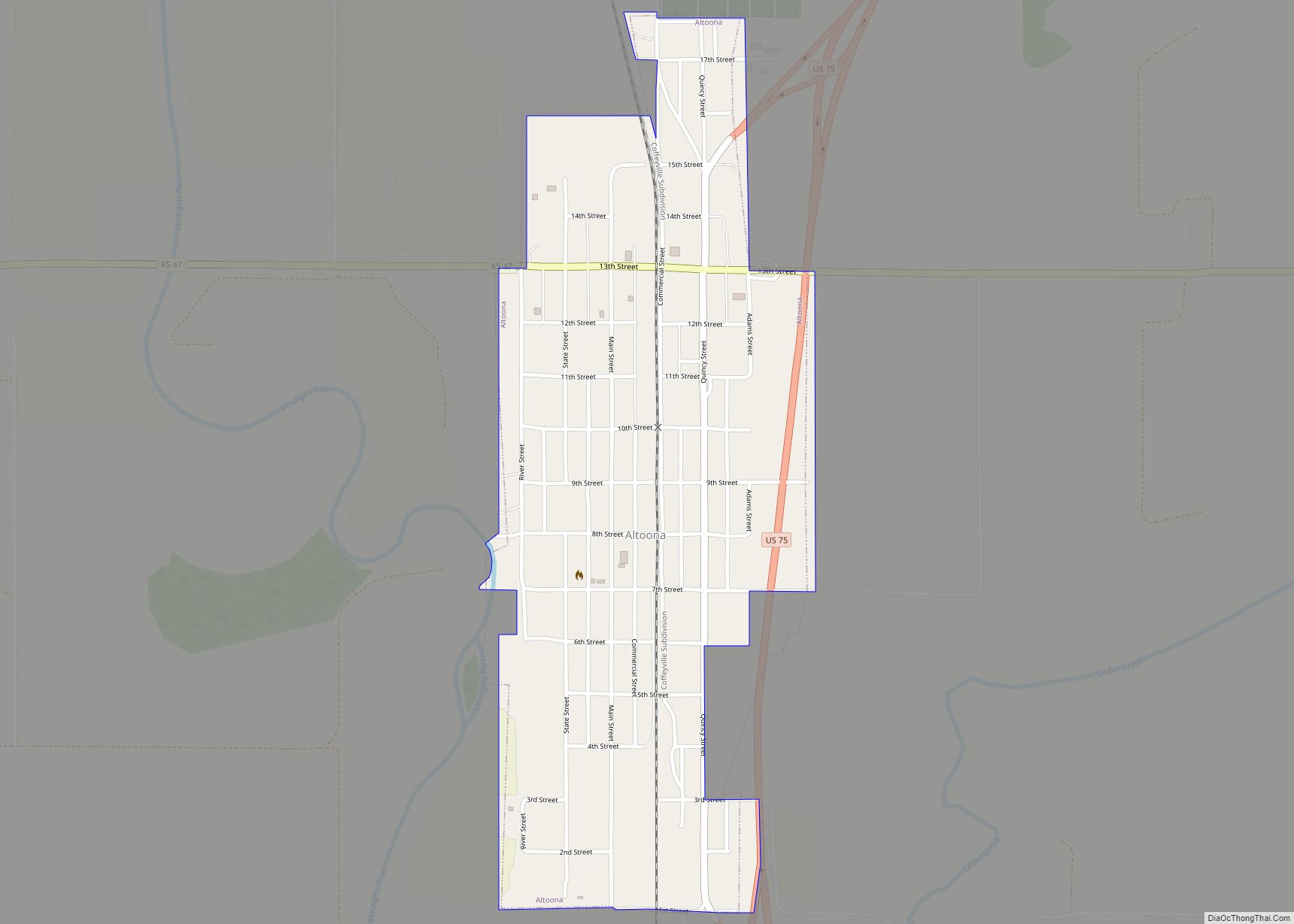
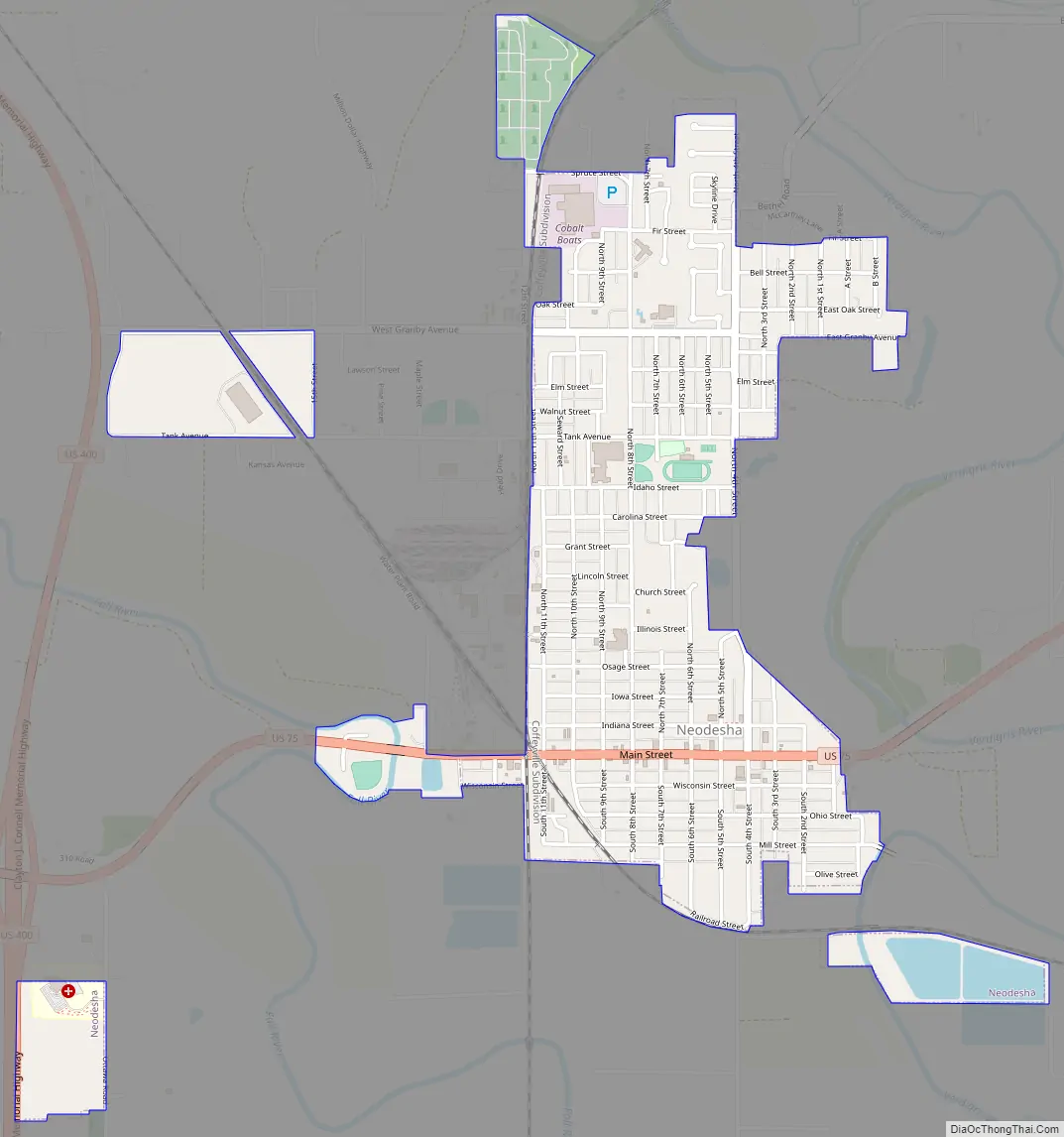
Neodesha Road Map
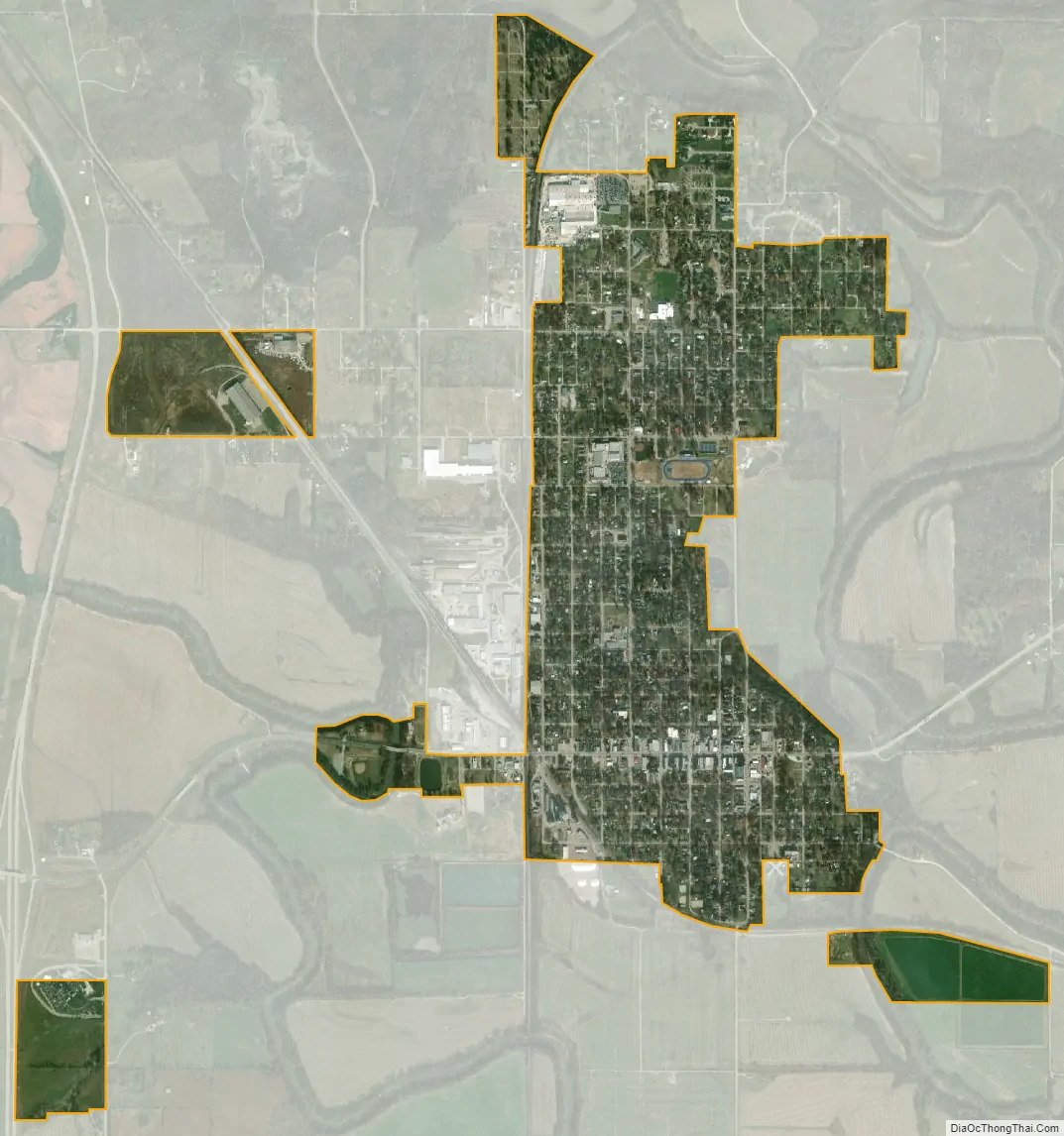
Neodesha city Satellite Map
Geography
Neodesha is located at 37°25′25″N 95°40′52″W / 37.42361°N 95.68111°W / 37.42361; -95.68111 (37.423512, -95.681185), along the Verdigris and Fall Rivers. According to the United States Census Bureau, the city has a total area of 1.39 square miles (3.60 km), of which, 1.35 square miles (3.50 km) is land and 0.04 square miles (0.10 km) is water.
Climate
The climate in this area is characterized by hot, humid summers and generally mild to cool winters. According to the Köppen Climate Classification system, Neodesha has a humid subtropical climate, abbreviated “Cfa” on climate maps.
See also
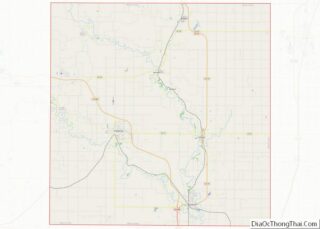
Map of Kansas State and its subdivision:- Allen
- Anderson
- Atchison
- Barber
- Barton
- Bourbon
- Brown
- Butler
- Chase
- Chautauqua
- Cherokee
- Cheyenne
- Clark
- Clay
- Cloud
- Coffey
- Comanche
- Cowley
- Crawford
- Decatur
- Dickinson
- Doniphan
- Douglas
- Edwards
- Elk
- Ellis
- Ellsworth
- Finney
- Ford
- Franklin
- Geary
- Gove
- Graham
- Grant
- Gray
- Greeley
- Greenwood
- Hamilton
- Harper
- Harvey
- Haskell
- Hodgeman
- Jackson
- Jefferson
- Jewell
- Johnson
- Kearny
- Kingman
- Kiowa
- Labette
- Lane
- Leavenworth
- Lincoln
- Linn
- Logan
- Lyon
- Marion
- Marshall
- McPherson
- Meade
- Miami
- Mitchell
- Montgomery
- Morris
- Morton
- Nemaha
- Neosho
- Ness
- Norton
- Osage
- Osborne
- Ottawa
- Pawnee
- Phillips
- Pottawatomie
- Pratt
- Rawlins
- Reno
- Republic
- Rice
- Riley
- Rooks
- Rush
- Russell
- Saline
- Scott
- Sedgwick
- Seward
- Shawnee
- Sheridan
- Sherman
- Smith
- Stafford
- Stanton
- Stevens
- Sumner
- Thomas
- Trego
- Wabaunsee
- Wallace
- Washington
- Wichita
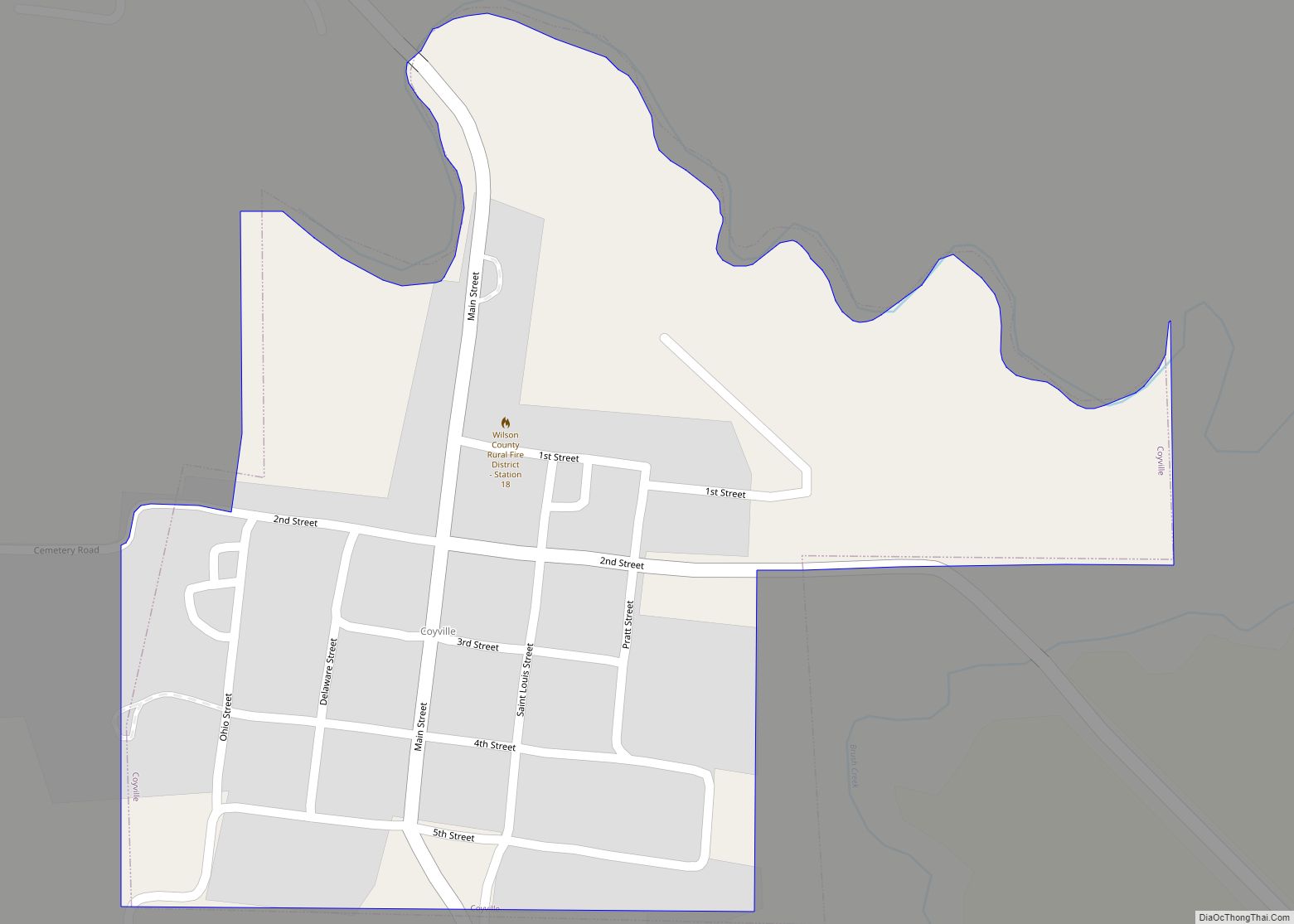
- Wilson
- Woodson
- Wyandotte
- Alabama
- Alaska
- Arizona
- Arkansas
- California
- Colorado
- Connecticut
- Delaware
- District of Columbia
- Florida
- Georgia
- Hawaii
- Idaho
- Illinois
- Indiana
- Iowa
- Kansas
- Kentucky
- Louisiana
- Maine
- Maryland
- Massachusetts
- Michigan
- Minnesota
- Mississippi
- Missouri
- Montana
- Nebraska
- Nevada
- New Hampshire
- New Jersey
- New Mexico
- New York
- North Carolina
- North Dakota
- Ohio
- Oklahoma
- Oregon
- Pennsylvania
- Rhode Island
- South Carolina
- South Dakota
- Tennessee
- Texas
- Utah
- Vermont
- Virginia
- Washington
- West Virginia
- Wisconsin
- Wyoming